


Fortuneswell, United Kingdom
Fortuneswell is a town of 3,381 people in England, United Kingdom.
Why visit Fortuneswell
Townapedia lists 39 museums and landmarks, 12 parks and trails, 29 places to eat, 8 places to stay and 14 attractions in and around town.
Highlights include Alexandra Gardens Theatre, Ferry Bridge, Portland Castle and Portland Museum.
Weather in Fortuneswell
Forecast from MET Norway (CC BY 4.0). Full forecast
About Fortuneswell
Fortuneswell is a village in Underhill on the Isle of Portland, in Dorset, England. It lies on steeply sloping land on the northern edge of the island, known as Underhill, where Chesil Beach connects the island to the mainland. Adjoining Fortuneswell are Chiswell to the west and Castletown to the north. Fortuneswell occupies the steeper land above sea level, whereas Chiswell and Castletown occupy flat land close to sea level, next to Chesil Beach and Portland Harbour respectively.
From the Wikipedia article Fortuneswell (this version), under CC BY-SA 4.0.
Photos of Fortuneswell

Things to do14

Alexandra Gardens Theatre
Cinema and theater · 3.3 mi
Theatre in Weymouth, England
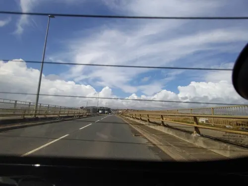

Jurassic Skyline
Monument and historic site · 3.3 mi
Observation tower in Dorset, England
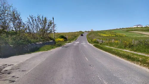
Portland Bill Low Light
Lighthouse · 2.8 mi
Lighthouse in Portland, Weymouth and Portland, Dorset, England, UK

Portland Breakwater Lighthouse
Lighthouse · 2.1 mi
Lighthouse on the Isle of Portland, Dorset, England

The Warehouse Theatre
Cinema and theater · 3.2 mi
Theatre in Weymouth, Dorset, England, UK

Town Bridge
Bridge · 3.3 mi
Road bridge in Weymouth, Dorset, England, UK



Portland Bill High Light
Lighthouse · 2.7 mi
Lighthouse in Portland, Weymouth and Portland, Dorset, England, UK
Portland Bill Lighthouse
Lighthouse · 3.2 mi
Lighthouse on the Isle of Portland, Dorset, England, UK
2 more on the map.
Museums and landmarks39

Portland Castle
Monument and historic site · 0.6 mi
Grade I listed Device Fort in Dorset, England, UK
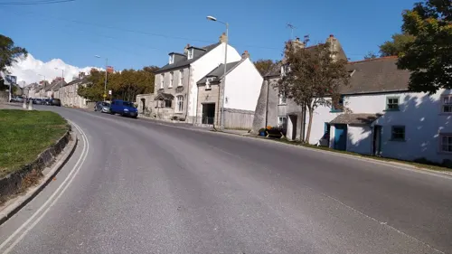


Culverwell Mesolithic Site
Monument and historic site · 2.7 mi
Archaeological site in Portland, Dorset, England, UK

HMS Delight
Monument and historic site · 1.0 mi
1932 D-class destroyer

HMS Hood
Monument and historic site · 1.1 mi
1891 Royal Sovereign-class pre-dreadnought battleship


Nothe Fort
Museum · 3.3 mi
Fort in Weymouth, Dorset, England, United Kingdom


Earl of Abergavenny
Monument and historic site · 3.3 mi
1796 British East India Company ship
HMS Foylebank
Monument and historic site · 1.5 mi
1930 cargo ship converted to anti-aircraft role
27 more on the map.
Parks, trails and playgrounds12


Southwell Business Park
Park · 1.3 mi
Business park in Dorset, England

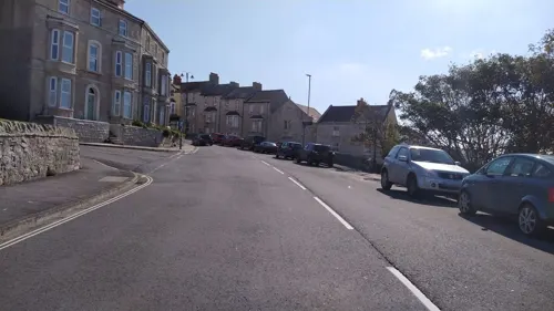
Victoria Gardens, Portland
Park
Park on the Isle of Portland, Dorset, England




Restaurants and cafes29
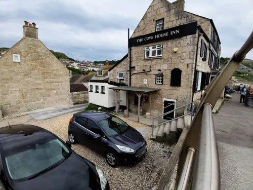



17 more on the map.
History
Fortuneswell was established around a natural watercourse and various springs. It is likely that the Romans developed the village pond and wells. The main well was situated within the centre of the village. The village name was first recorded as "Fortunes Well" in 1608, and evidence has suggested this originated from the belief in the occult star-telling power of its water, where one's luck could be seen. Over the centuries the village was largely made up of open space, with high-quality houses spread out across the community.
From the 1840s onwards Portland saw a large increase within its population, due to the construction of Portland Harbour's Breakwaters. The housing demands placed upon the island saw the originality of Fortuneswell altered. A large number of terraces were erected across the village area, and were crammed into any available open space. The expansion continued into the 20th century, when the site of Tillycoombe Farm became a large housing estate too. A new church was built between 1838 and 1840 at Fortuneswell, and was named St John's. In 1865, Underhill became its own parish, with St John's becoming the parish church. The influx of residents and visitors allowed Fortuneswell to flourish commercially, with many businesses becoming established there. The 1896 Kelly's Directory lists 73 businesses within the village.
Read more of the history
Following World War II, it became clear new housing on Portland was needed, and this led to the construction of a large housing estate across Verne Common. The new estate, which began construction in 1949, was made a part of Fortuneswell. The original project suggested the construction of high-quality villas, however, prefabricated buildings were erected instead. With the closure of the naval base in 1995, Fortuneswell has since seen some economic decline in business, although various independent stores remain active.
From the History section of Fortuneswell on Wikipedia, under CC BY-SA 4.0.
Where to stay8
Churches and places of worship26
Shopping4
Gas and EV charging2
Schools, colleges and libraries3
Healthcare3
Map of Fortuneswell
140 places. The map loads OpenStreetMap tiles when you open it.
Getting there and nearby towns
Bournemouth Airport (BOH) is the nearest airport with scheduled flights listed in OpenStreetMap, 30 miles away.
- Weymouth 4 mi north, about 6 min by car
- Dorchester 11 mi north, about 17 min by car
- Charminster 12 mi north, about 19 min by car
- Wool 13 mi northeast, about 21 min by car
- Puddletown 14 mi north, about 22 min by car
- Bere Regis 17 mi northeast, about 27 min by car
- Bridport 18 mi northwest, about 29 min by car
- Corfe Castle 18 mi east, about 29 min by car
- Swanage 22 mi east, about 35 min by car
- Poole 23 mi northeast, about 37 min by car
Drive times are estimates from straight-line distance, not routes.
Towns near Fortuneswell


Keep exploring
Local news
Headlines from INDB.
Reviews, tips and questions
Loading what members have shared...
Sources and licences
- GeoNames (CC BY 4.0): population, coordinates, regions and time zone
- Mapillary (see each image): photos
- OpenStreetMap contributors (ODbL 1.0): places, airports, map data
- Wikidata (CC0 1.0): elevation, founding date, time zone, website, landmarks and historic places
- Wikimedia Commons (see each image): photos
- Wikipedia (CC BY-SA 4.0): overview and history text
Photo credits
- Fortuneswell, Isle of Portland, Dorset-9454, Raimond Spekking, CC BY-SA 4.0
- St John's Church Churchyard, Portland, Fortuneswell, https://www.geograph.org.uk/photo/3146248, CC BY-SA 2.0
- Weymouth (2023-07-25) 119, Simon Cobb, CC0
- Weymouth Sea Life Tower, Dorset, England-3Sept2012, Jim Linwood, CC BY 2.0
- Lighthouse on the breakwater, Portland Harbour, Nicholas Mutton, CC BY-SA 2.0
- Warehouse, Weymouth 1, Richard Symonds, CC BY-SA 4.0
- Weymouth Town Bridge (23559366455), Andrew Bone from Weymouth, England, CC BY 2.0
- Portland castle closeup, Mark.murphy at English Wikipedia, CC BY-SA 3.0
- Culverwell Mesolithic Site, Portland, Dorset, Ajsmith141, CC BY-SA 3.0
- HMS Delight, Royal Navy official photographer, Public domain
- HMS Hood (Royal Sovereign-class battleship of 1890s), not stated, Public domain
- Субмарина Минерва, К.Е.Сергеев, CC BY-SA 3.0
- Easton Methodist Church, Reforne, Portland, Roger Templeman, CC BY-SA 2.0
- Royal Manor Theatre, Portland, Dorset, Ajsmith141, CC BY-SA 3.0
- Underhill Methodist Church, Portland, Dorset, Roger Templeman, CC BY-SA 2.0
- United Reformed Church, Portland, Dorset, Ajsmith141, CC BY-SA 3.0
- All Saints Church, off Straits, Portland Dorset, Roger Templeman, CC BY-SA 2.0
- The Avalanche Church, Southwell, Dorset, Mike Smith, CC BY-SA 2.0
- Isle of Portland Tout Quarry Landscape, Ajsmith141, CC BY 3.0
- Church of Our Lady and St. Andrew, Portland, Ajsmith141, CC BY-SA 3.0
- Uk dor sailingacademy, Unknown author, CC BY-SA 3.0
- King Barrow Quarry, Portland, Ajsmith141, CC BY-SA 3.0
- Uk dor weston, Unknown author, CC BY-SA 3.0
- Uk dor highangle, Unknown author, CC BY-SA 3.0
- Broadcroft Quarry Portland Dorset 2, Ajsmith141, CC BY-SA 3.0
- Portland Community Hospital, Entrance, Dorset, Ajsmith141, CC BY-SA 3.0
- StGeorge'sChurch01, MasterOfHisOwnDomain, CC BY-SA 3.0
- Southwell Business Park (ex-AUWE Portland), Ajsmith141, CC BY-SA 4.0
- Overview of Nothe Fort, Vsfx, CC BY-SA 3.0
- Nothe Gardens 01, Richard Symonds, CC BY 3.0
- Street-level photo, WaggyDog, CC BY-SA 4.0
- Street-level photo, noid, CC BY-SA 4.0
- Street-level photo, WaggyDog, CC BY-SA 4.0
- Street-level photo, noid, CC BY-SA 4.0
- Street-level photo, noid, CC BY-SA 4.0
- Street-level photo, noid, CC BY-SA 4.0
- Street-level photo, WaggyDog, CC BY-SA 4.0
- Street-level photo, WaggyDog, CC BY-SA 4.0
- Street-level photo, essexboy, CC BY-SA 4.0
- Street-level photo, noid, CC BY-SA 4.0
- Street-level photo, WaggyDog, CC BY-SA 4.0
- Street-level photo, noid, CC BY-SA 4.0
- Street-level photo, noid, CC BY-SA 4.0
- Street-level photo, noid, CC BY-SA 4.0
- Street-level photo, WaggyDog, CC BY-SA 4.0
- Street-level photo, WaggyDog, CC BY-SA 4.0
- Street-level photo, WaggyDog, CC BY-SA 4.0


Page built November 10, 2026. Spotted a mistake? Tell us or suggest a place.