


Corfe Castle, United Kingdom
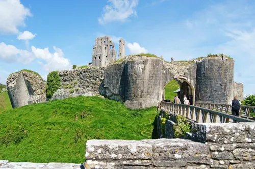
Corfe Castle is a town of 1,355 people in England, United Kingdom.
Why visit Corfe Castle
Townapedia lists 12 museums and landmarks, 6 parks and trails, 15 places to eat, 8 places to stay and 5 attractions in and around town.
Highlights include Brenscombe Hill, East Hill, Corfe Castle and Bucknowle Farm.
Weather in Corfe Castle
Forecast from MET Norway (CC BY 4.0). Full forecast
About Corfe Castle
Corfe Castle is a village and civil parish in the English county of Dorset. It is the site of a ruined castle of the same name. The village and castle stand over a gap in the Purbeck Hills on the route between Wareham and Swanage. The village lies in the gap below the castle and is around four miles (6.4 km) south-east of Wareham, and four miles (6.4 km) north-northwest of Swanage.
From the Wikipedia article Corfe Castle (village) (this version), under CC BY-SA 4.0.
Travel tips from other travellers: Corfe Castle on Wikivoyage (CC BY-SA 4.0).
Things to do5

Museums and landmarks12


Bucknowle Farm
Monument and historic site · 0.6 mi
Iron Age and Roman settlement in Dorset, England, UK

Bucknowle Roman villa
Monument and historic site · 0.6 mi
Roman villa in Dorset, England, UK
Rempstone Stone Circle
Monument and historic site · 2.1 mi
Stone circle in Corfe Castle, Dorset, England, UK


The Etches Collection
Museum · 3.1 mi
Museum in Dorset, United Kingdom

Iron Age settlement and associated field system on Smedmore Hill
Monument and historic site · 2.3 mi
Archaeological site in Dorset, England, UK

Purbeck Mining Museum
Museum · 0.5 mi
Museum near Corfe Castle, Dorset, England, UK
Parks, trails and playgrounds6


Arne RSPB reserve
Park · 3.1 mi
RSPB nature reserve in the United Kingdom


Restaurants and cafes15

Corfe Castle Village Bakery
Bakery
The Square, Corfe Castle
Mo-Fr 08:30-16:30; Sa 08:30-17:00; Su 09:00-17:00
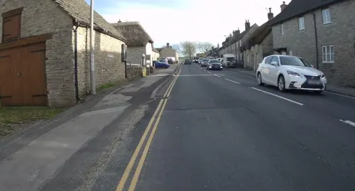
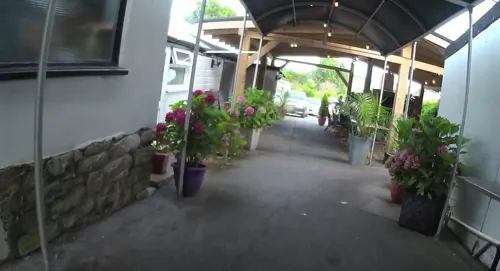
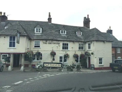
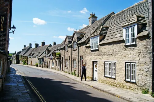



3 more on the map.
History
Burial mounds around Corfe Common to the south of Corfe Castle suggest that the area was occupied from 6000 BC. The common also points to a later Celtic field system worked by the Durotriges tribe. Evidence suggests that the tribe co-existed with the Romans in a trading relationship following the Roman invasion c. 50 AD.
King Edward the Martyr was murdered in Corfe on the evening of 18 March 978.
In the Middle Ages there was a considerable marble carving and stone cutting industry in the village. Purbeck stone was shipped all round the country from Ower Quay in Poole harbour.
In the 18th century, ball clay quarrying developed as an industry in the village. By the middle of the century, with the arrival of William Pike – a merchant from Devon, activity expanded significantly. In 1791 Pike signed a five-year contract with Josiah Wedgwood to supply 1,200 tons of clay and search for further deposits. From the 1796 Corfe Castle census of the 96 men involved in local industries and living in the town, 55 were clay cutters. Clay extraction continued to provide major employment for the local population until the 20th century.
Read more of the history
The village had two watermills, West Mill on the River Wicken ceased operating in 1792 but the building was used for poor housing until 1915. Stone from the building was used to construct the World War 1 war memorial. The other mill was Boar Mill on the Byle Brook. The mill cottage was later used as a bakery. The grade II listed mill and cottage are now owned by the National Trust.
From the History section of Corfe Castle (village) on Wikipedia, under CC BY-SA 4.0.
More about Corfe Castle
Geography
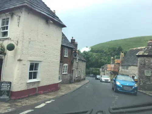
The parish of Corfe Castle encompasses a broad swathe of the Isle of Purbeck and has an area of 14+1⁄2 square miles (37.45 km2). To the south, it includes the smaller village of Kingston and a section of the Jurassic Coast facing the English Channel. To the north, it includes a large area of heathland stretching as far as the southern shore of Poole Harbour, where Furzey, Green, Long and Round little islands also form part of the parish. To the north west on a clear day, the Mendip Hills in Somerset can be seen in the distance from the castle. The village is constructed almost entirely from the local grey Purbeck limestone and comprises two main streets, East Street and West Street, linked at their north end at the Square.
From the Wikipedia article Corfe Castle (village), under CC BY-SA 4.0.
Notable people from Corfe Castle
- Richard D. RyderBritish psychologist and animal rights advocate
Born in Corfe Castle, according to Wikidata (CC0). Each name links to its Wikipedia article.
Where to stay8
Churches and places of worship4
Shopping5
Gas and EV charging1
Schools, colleges and libraries2
Map of Corfe Castle
58 places. The map loads OpenStreetMap tiles when you open it.
Getting there and nearby towns
Bournemouth Airport (BOH) is the nearest airport with scheduled flights listed in OpenStreetMap, 14 miles away.
- Swanage 5 mi southeast, about 8 min by car
- Poole 6 mi northeast, about 10 min by car
- Broadstone 9 mi north, about 14 min by car
- Bournemouth 10 mi northeast, about 15 min by car
- Wimborne Minster 10 mi north, about 17 min by car
- Sturminster Marshall 11 mi north, about 18 min by car
- Ferndown 13 mi northeast, about 22 min by car
- Christchurch 14 mi northeast, about 22 min by car
- Blandford Forum 16 mi north, about 26 min by car
- Weymouth 18 mi west, about 29 min by car
Drive times are estimates from straight-line distance, not routes.
Towns near Corfe Castle


Keep exploring
Local news
Headlines from INDB.
Reviews, tips and questions
Loading what members have shared...
Sources and licences
- GeoNames (CC BY 4.0): population, coordinates, regions and time zone
- Mapillary (see each image): photos
- OpenStreetMap contributors (ODbL 1.0): places, airports, map data
- Wikidata (CC0 1.0): elevation, founding date, time zone, website, landmarks and historic places
- Wikimedia Commons (see each image): photos
- Wikipedia (CC BY-SA 4.0): overview and history text
Photo credits
- Corfe Castle and Greyhound Inn Dorset England, JimChampion, CC BY-SA 4.0
- Corfe Castle Star Trails, Mark Pelleymounter, CC BY-SA 3.0
- 80104 at Corfe Castle - 26131237207, andreboeni, CC BY 2.0
- Corfe Castle 57, Chin tin tin, CC BY 3.0
- The Etches Collection building, Kimmeridge, Dorset, Jpbowen, CC BY-SA 4.0
- Stonehill Down Nature Reserve, Bermicourt, CC BY-SA 3.0
- Train corfecastle ontheswanage railway, LordHarris at English Wikipedia, Public domain
- 2010-04-07-Church Knowle, St Peter's Church, Huligan0, CC BY-SA 3.0
- The Bankes Arms Hotel, Daniel Schmidt, CC BY-SA 4.0
- Greyhound Inn Corfe Castle, Sun2Shine, CC BY-SA 4.0
- 2014-06-10-Bucknowle House, Huligan0, CC BY-SA 3.0
- Bucknowle Roman villa, Unknown author Unknown author, CC BY-SA 4.0
- Street-level photo, coljay72, CC BY-SA 4.0
- Street-level photo, essexboy, CC BY-SA 4.0
- Street-level photo, jpennycook, CC BY-SA 4.0
- Street-level photo, essexboy, CC BY-SA 4.0
- Street-level photo, jpennycook, CC BY-SA 4.0
- Street-level photo, jpennycook, CC BY-SA 4.0
- Street-level photo, essexboy, CC BY-SA 4.0
- Street-level photo, jpennycook, CC BY-SA 4.0
- Street-level photo, jpennycook, CC BY-SA 4.0
- Street-level photo, essexboy, CC BY-SA 4.0
- Street-level photo, coljay72, CC BY-SA 4.0
- Street-level photo, jpennycook, CC BY-SA 4.0
- Street-level photo, jpennycook, CC BY-SA 4.0


Page built November 10, 2026. Spotted a mistake? Tell us or suggest a place.