
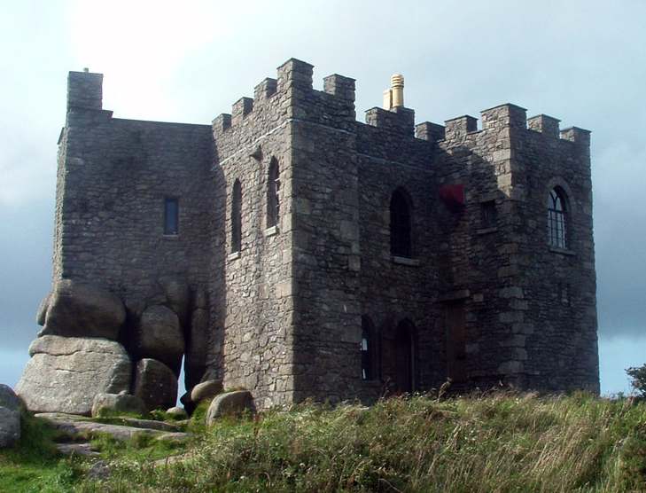


Four Lanes, United Kingdom
Four Lanes is a town of 1,416 people in England, United Kingdom.
Why visit Four Lanes
Townapedia lists 42 museums and landmarks, 9 places to eat, 1 place to stay and 4 attractions in and around town.
Highlights include Heartlands (playground), Basset Monument and Chimney.
Weather in Four Lanes
Forecast from MET Norway (CC BY 4.0). Full forecast
About Four Lanes
Four Lanes (Cornish: Peder Bownder) is a village in west Cornwall, England, United Kingdom approximately 3 miles (4.8 km) south of Redruth at grid reference SW 689 386 in the civil parish of Carn Brea.
From the Wikipedia article Four Lanes (this version), under CC BY-SA 4.0.
Things to do4
Heartlands (playground)
Monument and historic site · 2.1 mi
UK amusement park


Museums and landmarks42

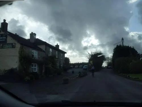
Basset Monument
Monument and historic site · 1.4 mi
90 foot high Celtic cross. Monument to Francis Basset, 1st Baron de Dunstanville and Basset. 1836.
24/7
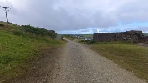


Giant's Quoit
Monument and historic site · 2.5 mi
Dolmen in Cornwall, England, UK
30 more on the map.
Restaurants and cafes9


Where to stay1

History
Four Lanes is the main settlement in the ecclesiastical parish of Pencoys which was established in 1881. In earlier times the area was part of the parish of Wendron and the name Pencoys means the end of the wood. Maria Charlotte Broadley, the wife of the Vicar of Carnmenellis, wished to provide a church for the outlying hamlet of Four Lanes but her husband died and she moved elsewhere. In the late 1870s she returned and ensured that a building used for occasional services which had become dilapidated was repaired. She still wished to provide a proper church, made appeals for funds and the new church was consecrated on 4 April 1881 at a cost of £1,250. Mrs Broadley had given £1,050 of this and also the cost of many of the fittings and the east window. She is commemorated by a plaque in Pencoys church placed there in 1977 as part of the celebrations of the centenary of the Diocese of Truro. The church seats two hundred and is built in the Early English style with nave, chancel and a small north chapel used for vestries. The stone was quarried locally with arches and dressings of granite and Wild Duck stone. The parish war memorial is the church's lych gate (built in 1921) which features commemorative plaques in the gateway.
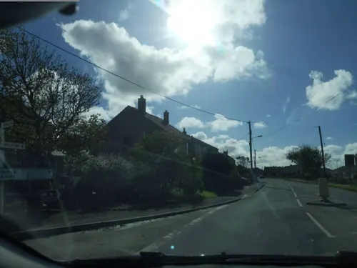
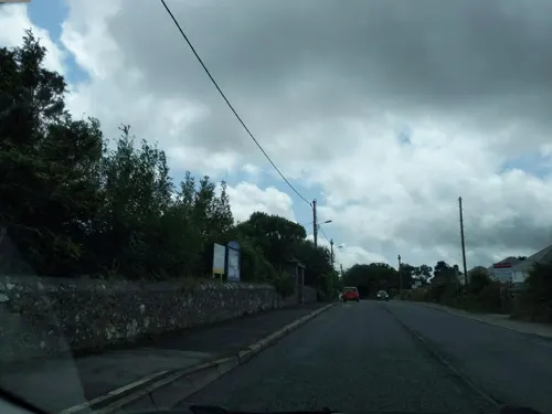
The older part of Four Lanes straddles the B3297 road north of the crossroads and post-1960s housing estates are to the south of the crossroads.
Read more of the history
The classical soprano singer Wendy Eathorne was born at Four Lanes in 1939.
From the History section of Four Lanes on Wikipedia, under CC BY-SA 4.0.
More about Four Lanes
Geography
Four Lanes and Pencoys are on the upland plateau of the Carnmenellis granite batholith. Four Lanes village centre is 220 metres (720 feet) above sea level. The village is centred on The Square which is at a crossroads where the north-to-south B3297 Redruth-Helston road is intersected by unclassified lanes to Stithians (south-east) and Carnkie (north-west). Post-1960s housing estates are to the south of the crossroads.
From the Wikipedia article Four Lanes, under CC BY-SA 4.0.
Churches and places of worship6
Holy Trinity Church And Lamp House Immediately South West
Church · 3.4 mi
Schools, colleges and libraries2
Map of Four Lanes
64 places. The map loads OpenStreetMap tiles when you open it.
Getting there and nearby towns
Cornwall Airport Newquay (NQY) is the nearest airport with scheduled flights listed in OpenStreetMap, 20 miles away.
- Redruth 2 mi north, about 4 min by car
- Camborne 3 mi west, about 4 min by car
- Chacewater 5 mi northeast, about 8 min by car
- Helston 7 mi south, about 11 min by car
- Mylor Bridge 7 mi east, about 12 min by car
- Falmouth 8 mi southeast, about 13 min by car
- Truro 9 mi northeast, about 15 min by car
- Uny Lelant 9 mi west, about 14 min by car
- Marazion 12 mi southwest, about 19 min by car
- Portscatho 12 mi east, about 19 min by car
Drive times are estimates from straight-line distance, not routes.
Towns near Four Lanes


Keep exploring
Local news
Headlines from INDB.
Reviews, tips and questions
Loading what members have shared...
Sources and licences
- GeoNames (CC BY 4.0): population, coordinates, regions and time zone
- Mapillary (see each image): photos
- OpenStreetMap contributors (ODbL 1.0): places, airports, map data
- Wikidata (CC0 1.0): elevation, founding date, time zone, website, landmarks and historic places
- Wikimedia Commons (see each image): photos
- Wikipedia (CC BY-SA 4.0): overview and history text
Photo credits
- Carn Brea Castle by Ansom, Bengoeswild, CC BY-SA 3.0
- Carn Brea Monument by Ansom, Bengoeswild, CC BY-SA 3.0
- DSCN1072CarnBreaFromRedruth, Vernon39, Public domain
- Carn Brea Smugglers Cave, Ash, CC BY 2.0
- Street-level photo, adam2, CC BY-SA 4.0
- Street-level photo, WaggyDog, CC BY-SA 4.0
- Street-level photo, WaggyDog, CC BY-SA 4.0
- Street-level photo, WaggyDog, CC BY-SA 4.0
- Street-level photo, IMC1964, CC BY-SA 4.0
- Street-level photo, IMC1964, CC BY-SA 4.0
- Street-level photo, WaggyDog, CC BY-SA 4.0
- Street-level photo, IMC1964, CC BY-SA 4.0
- Street-level photo, IMC1964, CC BY-SA 4.0
- Street-level photo, IMC1964, CC BY-SA 4.0
- Street-level photo, IMC1964, CC BY-SA 4.0
- Street-level photo, WaggyDog, CC BY-SA 4.0
- Street-level photo, IMC1964, CC BY-SA 4.0
- Street-level photo, IMC1964, CC BY-SA 4.0
- Street-level photo, IMC1964, CC BY-SA 4.0
- Street-level photo, IMC1964, CC BY-SA 4.0
- Street-level photo, IMC1964, CC BY-SA 4.0
- Street-level photo, IMC1964, CC BY-SA 4.0
- Street-level photo, IMC1964, CC BY-SA 4.0
Page built November 10, 2026. Spotted a mistake? Tell us or suggest a place.