


Why visit Redruth
Townapedia lists 31 museums and landmarks, 12 parks and trails, 36 places to eat, 2 places to stay and 5 attractions in and around town.
Highlights include Heartlands (playground), Regal Cinema, Basset Monument and Gwennap Pit.
Weather in Redruth
Forecast from MET Norway (CC BY 4.0). Full forecast
About Redruth
Redruth ( rə-DROOTH, Cornish: Resrudh [ˈrɛzryːð] , meaning red ford) is a town and civil parish in Cornwall, England. It lies approximately 9 miles (14 km) west of Truro, 12 miles (19 km) east of St Ives, 18 miles (29 km) north-east of Penzance and 11 miles (18 km) north-west of Falmouth. At the 2021 census, the population of the parish was 15,626 and the population of the built-up area was 15,455.
From the Wikipedia article Redruth (this version), under CC BY-SA 4.0.
Travel tips from other travellers: Redruth on Wikivoyage (CC BY-SA 4.0).
Photos of Redruth


Things to do5
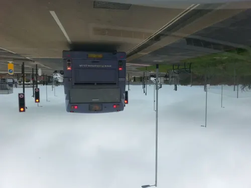
Heartlands (playground)
Monument and historic site · 2.3 mi
UK amusement park




Museums and landmarks31

Basset Monument
Monument and historic site · 1.4 mi
90 foot high Celtic cross. Monument to Francis Basset, 1st Baron de Dunstanville and Basset. 1836.
24/7


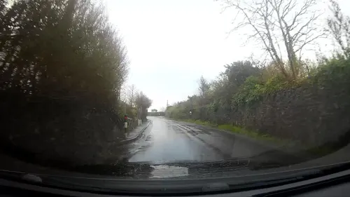

Moseley Heritage Museum
Museum · 1.1 mi
Tolgus Mount, Redruth
Mo,Th 13:00-16:30; Jun-Aug: Su 14:00-16:00

Pennance Consols
Monument and historic site · 1.1 mi
Old engine house for defunct copper mine
19 more on the map.
Parks, trails and playgrounds12
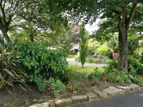



Restaurants and cafes36
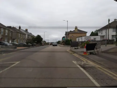
Shamrat Indian Restaurant
Restaurant · Indian · 1.5 mi
79 Agar Road, Redruth
17:00 - 22:30




24 more on the map.
History
Traditionally in the Penwith Hundred, the town has developed away from the original settlement, which was near where the present Churchtown (around St. Euny's Church) district of Redruth stands today. This location is a steeply wooded valley, with Carn Brea on one side and the now-called Bullers Hill on the other. The presence of shallow lodes of tin and copper, lying east to west, made it an advantageous site for extracting metals, including tin, lead and copper. The first settlers stayed by a crossing in the river and started extracting metal ores; this process turned the colour of the river red.
Redruth was connected to the electric telegraph network in 1863, when the Electric and International Telegraph Company opened stations at Truro, Redruth, Penzance, Camborne, Liskard and St Austell.
In the 1880s and 1890s, the town end of Clinton Road gained a number of institutions, notably a School of Mines and Art School in 1882–83, St. Andrew's Church (replacing the chapel in Chapel Street) in 1883 and, opposite, the Free Library, built in 1895. The Mining Exchange was built in 1880 as a place for the trading of mineral stock.
Read more of the history
By the end of the 19th century, the Cornish mining industry was in decline and Britain was importing most of its copper ore. To find employment, many miners emigrated to the newer mining industries in the Americas, Pachuca, Mexico, Australasia and South Africa. By the turn of the 20th century, Victoria Park had been laid out to commemorate the Golden Jubilee and this part of town had taken on its present appearance; this was a far cry from the jumble of mining activity that had taken place there in the early 19th century. Redruth was making its transition from a market town dominated by mines and industry to a residential centre. Cornwall's last fully operational mine, South Crofty at Pool between Redruth and Camborne, closed in March 1998.
From the History section of Redruth on Wikipedia, under CC BY-SA 4.0.
More about Redruth
Geography
Redruth forms the eastern part of a loose conurbation which stretches to Camborne, 3 miles (4.8 km) to the west. At the 2011 census, the Office for National Statistics (ONS) defined what it called the Redruth built-up area, which extended to Camborne and had a population of 42,690, making it the largest built-up area in Cornwall. Cornwall Council similarly defined what it called Camborne/Pool/Redruth, which had a population of 55,400 in 2011. Following a change in methodology for the 2021 census, Redruth is now considered a separate built-up area by the ONS, with a population of 15,455.
On 7 November 2007, Redruth won an annual UK town centre environment award jointly with Luton, which is run by the BCSC. The judges praised the cast bronze dogs and also liked the large amount of work that had been done to the town in terms of landscaping the central area.
Education
Redruth School, a Technology College, is a secondary school for ages 11–16. It used to have a sixth form, for students aged 16 to 18; however, it stopped applications for new students in 2016 and closed in 2020, due to funding cuts.
The town used to have a co-educational independent school, Highfields Private School, but it closed in 2012.
Primary schools within the town include Pennoweth School, Treleigh School, Treloweth Community Primary School, Trewirgie Infant School and Trewirgie Junior School. The Curnow Community Special School caters for students with special needs.
The Passmore Edwards Free Library was built in 1894. Its architect was James Hicks, who used a castellated baronial style; there is a prominent octagonal tower. The reading room was once the school of Thomas Collins, where Collins, who had been headmaster of Trewirgie School, taught local children and the children left behind by parents who had emigrated overseas. The former School of Science and Art is also the work of James Hicks; the later additions were built for the School of Mines.
From the Wikipedia article Redruth, under CC BY-SA 4.0.
Notable people from Redruth
 Kristin Scott ThomasBritish-French actressPhoto: Maximilian Bühn, CC BY 4.0
 Mick FleetwoodBritish rock drummer, songwriterPhoto: Raphael Pour-Hashemi, CC BY 2.0
 Humphry GreenwoodBritish ichthyologist (1927–1995)Photo: Michael K. Oliver, CC BY-SA 3.0
 Thomas HaweisChurch ministerPhoto: E. Bocquet / After Henry Edridge, Public domain
 William James WebbeBritish painter and illustrator (1830-1904)Photo: William James Webbe, Public domain
 Rory McGrathEnglish comedianPhoto: Mike Knapp, CC BY 2.0
- Danny Nightingalemodern pentathlete
- Adrian JohnsRoyal Navy admiral
- Luke VibertBritish musician
- Morwenna BanksBritish actress
- James DaveyBritish rugby union player (1880–1951)
- Bert SolomonEnglish rugby union player (1885–1961)
Born in Redruth, according to Wikidata (CC0). Each name links to its Wikipedia article.
Where to stay2
Churches and places of worship16
The Church of Jesus Christ of Latter-day Saints
Church · Latter Day Saints · 1.1 mi
Mount Ambrose, Redruth
Redruth Kingdom Hall of Jehovah's Witnesses
Church · Jehovahs Witness · 1.4 mi
West Tolgus, Redruth
Shopping8
Gas and EV charging3
Schools, colleges and libraries10
Healthcare6
NHS Talking Therapies
Clinic and pharmacy · 1.0 mi
2 Low Meadow Business Park, Redruth
Map of Redruth
129 places. The map loads OpenStreetMap tiles when you open it.
Getting there and nearby towns
Cornwall Airport Newquay (NQY) is the nearest airport with scheduled flights listed in OpenStreetMap, 17 miles away.
- Camborne 4 mi southwest, about 6 min by car
- Truro 8 mi east, about 13 min by car
- Falmouth 9 mi southeast, about 14 min by car
- Helston 9 mi south, about 15 min by car
- Newquay 14 mi northeast, about 23 min by car
- Penzance 16 mi southwest, about 26 min by car
- St Austell 21 mi east, about 34 min by car
- Bodmin 28 mi northeast, about 44 min by car
- Saltash 46 mi east, about 1 h 15 min by car
- Plymouth 49 mi east, about 1 h 15 min by car
Drive times are estimates from straight-line distance, not routes.
Towns near Redruth


Keep exploring
Local news
Headlines from INDB.
Reviews, tips and questions
Loading what members have shared...
Sources and licences
- GeoNames (CC BY 4.0): population, coordinates, regions and time zone
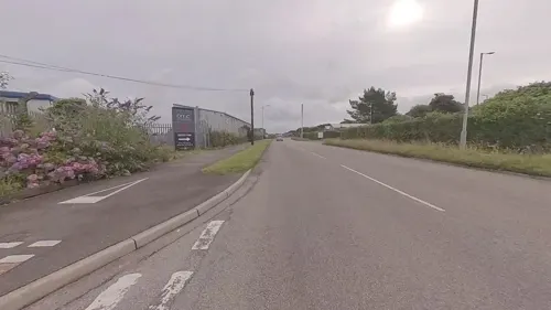
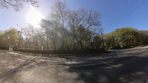
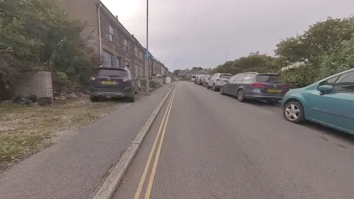
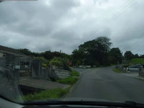
- Mapillary (see each image): photos
- OpenStreetMap contributors (ODbL 1.0): places, airports, map data
- Wikidata (CC0 1.0): elevation, founding date, time zone, website, landmarks and historic places
- Wikimedia Commons (see each image): photos
- Wikipedia (CC BY-SA 4.0): overview and history text
Photo credits
- Sea View Terrace, Redruth, August 2022, Gazamp, CC BY-SA 4.0
- Trew Parc and Sea View Terrace, Redruth, August 2022, Gazamp, CC BY-SA 4.0
- Stained glass window, Wesley Chapel, Redruth, Cornwall - July 2024, Mutney, CC BY 4.0
- Wesley Chapel Arts Centre, Redruth, Cornwall - July 2024 (1), Mutney, CC BY 4.0
- Wesley Chapel Arts Centre, Redruth, Cornwall - July 2024 (2), Mutney, CC BY 4.0
- Wesley Chapel Arts Centre, Redruth, Cornwall - July 2024 (3), Mutney, CC BY 4.0
- The Nighthawks at Wesley Chapel Arts Centre, Redruth, Cornwall - July 2024 (3), Mutney, CC BY 4.0
- The Nighthawks at Wesley Chapel Arts Centre, Redruth, Cornwall - July 2024 (2), Mutney, CC BY 4.0
- The Nighthawks at Wesley Chapel Arts Centre, Redruth, Cornwall - July 2024 (1), Mutney, CC BY 4.0
- Redruth railway station - panoramio, Jane White, CC BY-SA 3.0
- Carn Brea Castle by Ansom, Bengoeswild, CC BY-SA 3.0
- Engine houses at Wheal Peevor, Tony Atkin, CC BY-SA 2.0
- St Andrew (28608154783), Tim Green from Bradford, CC BY 2.0
- Carn Brea Monument by Ansom, Bengoeswild, CC BY-SA 3.0
- DSCN1072CarnBreaFromRedruth, Vernon39, Public domain
- Regal cinema, bar and restaurant, Fore Street, Redruth, Cornwall - May 2022, Mutney, CC BY-SA 4.0
- Carn Brea Smugglers Cave, Ash, CC BY 2.0
- Gwennap Pit (4945384887), Tim Green from Bradford, CC BY 2.0
- Street-level photo, IMC1964, CC BY-SA 4.0
- Street-level photo, WaggyDog, CC BY-SA 4.0
- Street-level photo, adam2, CC BY-SA 4.0
- Street-level photo, WaggyDog, CC BY-SA 4.0
- Street-level photo, WaggyDog, CC BY-SA 4.0
- Street-level photo, WaggyDog, CC BY-SA 4.0
- Street-level photo, IMC1964, CC BY-SA 4.0
- Street-level photo, IMC1964, CC BY-SA 4.0
- Street-level photo, IMC1964, CC BY-SA 4.0
- Street-level photo, IMC1964, CC BY-SA 4.0
- Street-level photo, IMC1964, CC BY-SA 4.0
- Street-level photo, WaggyDog, CC BY-SA 4.0
- Street-level photo, IMC1964, CC BY-SA 4.0
- Street-level photo, WaggyDog, CC BY-SA 4.0
- Street-level photo, IMC1964, CC BY-SA 4.0
- Street-level photo, WaggyDog, CC BY-SA 4.0
- Street-level photo, WaggyDog, CC BY-SA 4.0
- Street-level photo, IMC1964, CC BY-SA 4.0
- Street-level photo, IMC1964, CC BY-SA 4.0
- Street-level photo, WaggyDog, CC BY-SA 4.0
- Street-level photo, WaggyDog, CC BY-SA 4.0
- Street-level photo, IMC1964, CC BY-SA 4.0
- Street-level photo, IMC1964, CC BY-SA 4.0
- Street-level photo, zunkith, CC BY-SA 4.0


Page built November 10, 2026. Spotted a mistake? Tell us or suggest a place.