


Why visit Helston
Townapedia lists 9 museums and landmarks, 17 parks and trails, 31 places to eat, 9 places to stay and 2 attractions in and around town.
Highlights include The Flambards Experience, Helston Cinema, Museum of Cornish Life and Monument to H M Grylls.
Weather in Helston
Forecast from MET Norway (CC BY 4.0). Full forecast
About Helston
Helston (Cornish: Hellys [ˈhɛlːɪs] ) is a town and civil parish in Cornwall, England. It is situated at the northern end of the Lizard Peninsula, approximately 12 miles (19.3 km) east of Penzance and 9 miles (14.5 km) south-west of Falmouth. Helston is the most southerly town on the island of Great Britain and is around 1+1⁄2 mi (2.4 km) farther south than Penzance. At the 2021 census, the population of the parish was 11,611 and that of the built up area was 11,360.
From the Wikipedia article Helston (this version), under CC BY-SA 4.0.
Travel tips from other travellers: Helston on Wikivoyage (CC BY-SA 4.0).
Photos of Helston


Things to do2

The Flambards Experience
Monument and historic site · 0.9 mi
Amusement park in Cornwall, England

Museums and landmarks9


Monument to H M Grylls
Monument and historic site · 0.4 mi
Monument in Helston, United Kingdom
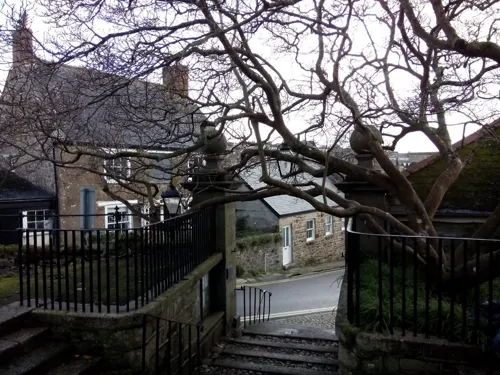
Loe Bar Wreck
Monument and historic site · 2.9 mi
Shipwreck in Cornwall, England, UK
Parks, trails and playgrounds17


5 more on the map.
Restaurants and cafes31
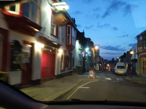
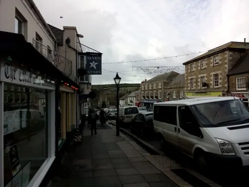
The Coinage Hall
Bar and pub
9-11 Coinagehall Street, Helston
Mo,Tu,We,Th,Su 08:00-24:00; Fr,Sa 08:00-25:00

The Blue Anchor
Bar and pub · 0.4 mi
50 Coinagehall Street, Helston
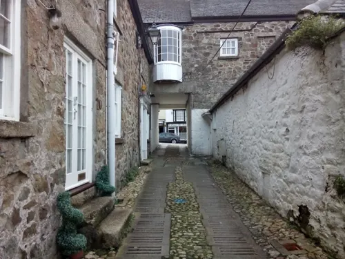
Beijing Cuisine
Restaurant · Asian
3 Coinagehall Street, Helston
Mo-Sa 17:00-23:00; Su 17:00-22:00


19 more on the map.
History
The name comes from the Cornish "hen lys" (or "old court") and "ton" added later to denote a Saxon manor; the Domesday Book refers to Henliston (which survives as the name of a road in the town). Only one edition refers to 'Henlistona'. It was granted its charter by King John on 15 April 1201 for the price of forty marks of silver. It was here that tin ingots were weighed to determine the tin coinage duty due to the Duke of Cornwall when a number of stannary towns were authorised by royal decree. A document of 1396 examined by Charles Henderson shows that the old form "Hellys" was still in use The manor of Helston in Kerrier was one of the seventeen Antiqua maneria of the Duchy of Cornwall. The seal of the borough of Helston was St Michael his wings expanded and standing on a gateway. The two towers domed upon the up-turned dragon, impaling it with his spear and bearing upon his left arm an escutcheon of the arms of England, viz Gu three lions passant guardant in pale Or, with the legend "Sigillum comunitatis helleston burg".
Read more of the history
It is a matter of debate as to whether Helston was once a port, albeit no actual records exist. A common belief is that, in the 13th century, Loe Bar formed a barrier across the mouth of the River Cober cutting the town off from the sea. Geomorphologists believe the bar was most likely formed by rising sea levels, after the last ice age, blocking the river and creating a barrier beach. The beach is formed mostly of flint and the nearest source is found offshore under the drowned terraces of the former river that flowed between England and France, and now under the English Channel.
Daniel Defoe described Helston (1725) in his tour around Great Britain thus, ″This town is large and populous, and has four spacious streets, a handsome church, and a good trade: this town also sends members to Parliament.' He also mentions that the River Cober makes a tolerable good harbour and several ships are loaded with tin, [between Lowertown and Helston, but not to the sea]; although over one hundred years before Defoe, Richard Carew (1602) described Loe Bar as "The shingle was relatively porous and fresh water could leave and seawater enter depending, on the relative heights of the pool and sea." Defoe's description seems to be the first and possibly the origin of other sources claiming Helston to be a port in the historic period.
Loe Pool is referred to in a document of 1302, implying the existence of Loe Bar at this date, if not much earlier, and thus precluding the passage of shipping up the Cober. At the same time it was recorded that the burgesses of Helston exercised jurisdiction over the ships anchored at Gweek, but no mention was made of ships at Helston, and no customs records or other documentation of port traffic relating to Helston survives; thus confirming the fact that Gweek has for centuries been the recognized port of Helston. There is no known archaeological evidence for the existence of a port* at Helston and there is no primary evidence to support Defoe's account. Leland's description of the Loe Pool is thus:"Lo Poole is a 2 miles in length, and betwixt it and the mayn se, is but a barre of sand: and ons in 3 or 4 yeres, what by the wait of the fresch water and rage of the se, it brekith out, and then the fresch and salt water metyng makith a wonderful noise. But sone after, the mouth is barrid again with sande. At other tymes the superfluite of the water of Lo Poole drenith out through the sandy barre into the se. If this barre might be alway kept open, it wold be a goodly haven up to Hailestoun."However, contributing to the belief of a port at Helston was the discovery of what some people believe to be slipways and mooring rings, during excavations around 1968. There was no known shipping from the sea after 1260, but before 1200, in 'the 1182 record of Godric of Helleston paying a fine of ten marks for exporting his corn out of England from Helston without a licence.' This could be considered the most significant piece of documentary evidence signifying Helston's former port days, though it does not prove the case. At the time of Domesday Book, Gweek had no inhabitants whilst Helston was the largest settlement in the west of Cornwall, with 113 households. In 1837, a plan was drawn up to open Loe Pool to shipping using a pier to counteract siltation, but it was never carried out.
The site of Helston Castle is now a bowling green near the Grylls Monument, which has been there since 1760. The castle was built in 1280 as a simple stone structure for Edmund, Earl of Cornwall. By 1478, it had fallen into disuse and ruin.
A free chapel of ease perhaps also built for Edmund, Earl of Cornwall before 1283 was dissolved by the chantries act 1547 and turned into Helston's coinage hall. This was later demolished by public subscription raised by Helston's sitting M.P., Charles Abbot, following his return in the 1796 general election.
From the History section of Helston on Wikipedia, under CC BY-SA 4.0.
More about Helston
Geography
Helston is situated along the banks of the River Cober in Cornwall. Downstream is Cornwall's largest natural lake, Loe Pool, formed when a shingle bar blocked the mouth of the river by rising sea levels forming a barrier beach. To the south is the Lizard Peninsula, an area important for its complex geology and wildlife habitats.
Helston has an oceanic climate (Köppen climate classification Cfb). It is one of the mildest places in the country and frosts are rarely severe. The nearest Met Office weather station is RNAS Culdrose, approximately 1 mile south-east of the town centre. Temperature extremes in the area since 1960 have ranged from −10.9 °C (12.4 °F) during January 1987, and up to 30.6 °C (87.1 °F) in June 1976. The lowest temperature in recent years was −6.2 °C (20.8 °F) in December 2009. Snow occurs in median every second year, almost in 2–3 days in line or one alone, most often in January or February.
Arts and culture
Flora Day occurs annually, on 8 May (except when the date falls on a Sunday or Monday — Monday being Market Day — when it is the preceding Saturday) Helston hosts the Furry Dance.
There are four dances throughout the day, the first starting at 7am (historically for domestic servants), the ladies in summer frocks and the gentlemen in white shirts and dark grey trousers with neckties bearing the town crest, loaned for the day. The second dance at 9.50am is when children from the town's schools dance dressed all in white, the individual schools denoted by the head dresses that the girls wear. The premier dance follows at Midday when the "gentry of the County" dance, the ladies in long ballgowns topped off with picture hats and the gentlemen wearing full morning dress. The final dance of the day begins at 5pm, a dance historically for the tradespeople of the town. Participants in this dance are the only dancers to dance around the town twice, having already danced in the 7am dance.
From the Wikipedia article Helston, under CC BY-SA 4.0.
Notable people from Helston
 Bob FitzsimmonsBritish boxer (1863-1917)Photo: Unknown author Unknown author, Public domain
 Jon CruddasBritish Labour Party politicianPhoto: Richard Townshend, CC BY 3.0
 Thomas Henry HollandBritish geologist (1868–1947)Photo: Unknown author Unknown author, Public domain
 Henry TrengrouseBritish engineer (1772-1854)Photo: John Opie, Public domain
 Tim BarrettAustralian naval officerPhoto: Mass Communication Specialist 1st..., Public domain
- Jack RogersEnglish footballer (1895-1977)
- John Bryant LaneBritish painter (1788–1868)
- Piran HollowayEnglish cricketer (born 1970)
- Arthur Ralph Middleton ToddEnglish painter (1891–1966)
- John RichardsSouth Australian politician (1842–1913)
- Gloria ThomasBritish lawn bowler
- Daphne McClureEnglish artist
Born in Helston, according to Wikidata (CC0). Each name links to its Wikipedia article.
Where to stay9
Churches and places of worship8
Shopping5
Gas and EV charging2
Schools, colleges and libraries5
Healthcare4
Map of Helston
92 places. The map loads OpenStreetMap tiles when you open it.
Getting there and nearby towns
Land's End Airport (LEQ) is the nearest airport with scheduled flights listed in OpenStreetMap, 18 miles away.
- Porthleven 2 mi southwest, about 4 min by car
- Gweek 3 mi east, about 5 min by car
- Constantine 4 mi east, about 7 min by car
- Penzance 12 mi west, about 19 min by car
- Truro 15 mi northeast, about 24 min by car
- Newquay 23 mi north, about 37 min by car
- St Austell 27 mi northeast, about 44 min by car
- Saltash 51 mi northeast, about 1 h 15 min by car
- Plymouth 53 mi east, about 1 h 30 min by car
- Plymstock 55 mi east, about 1 h 30 min by car
Drive times are estimates from straight-line distance, not routes.
Towns near Helston


Keep exploring
Local news
Headlines from INDB.
Reviews, tips and questions
Loading what members have shared...
Sources and licences
- GeoNames (CC BY 4.0): population, coordinates, regions and time zone
- Mapillary (see each image): photos
- OpenStreetMap contributors (ODbL 1.0): places, airports, map data
- Wikidata (CC0 1.0): elevation, founding date, time zone, website, landmarks and historic places
- Wikimedia Commons (see each image): photos
- Wikipedia (CC BY-SA 4.0): overview and history text
Photo credits
- Coinagehallstreet helston, 2micha, CC BY-SA 3.0
- Former ambulance station, Wendron Street, Helston, April 2022, Gazamp, CC BY-SA 4.0
- Wendron Street, Helston, April 2022 (1), Gazamp, CC BY-SA 4.0
- Wendron Street, Helston, April 2022 (2), Gazamp, CC BY-SA 4.0
- Gate through to Wendron Street car park, Helston, April 2022, Gazamp, CC BY-SA 4.0
- Wendron Street car park, Helston, April 2022, Gazamp, CC BY-SA 4.0
- Post box on Trengrouse Way. Helston, Cornwall - August 2022, Mutney, CC BY-SA 4.0
- Rear wall of Helston Library, Cornwall - August 2022, Mutney, CC BY-SA 4.0
- Former butchers shop, Wendron Street, Helston, Cornwall - August 2022, Mutney, CC BY-SA 4.0
- Helston Library, Cornwall - August 2022 (4), Mutney, CC BY-SA 4.0
- Tent in the Children's section of Helston Library, Cornwall - August 2024, Mutney, CC0
- Children's section of Helston Library, Cornwall - August 2024 (2), Mutney, CC0
- Children's section of Helston Library, Cornwall - August 2024 (3), Mutney, CC0
- Children's section of Helston Library, Cornwall - August 2024 (1), Mutney, CC0
- Shopfront of former butchers shop, Wendron Street, Helston, Cornwall - August 2022, Mutney, CC BY-SA 4.0
- Helston Library, Cornwall - August 2022 (2), Mutney, CC BY-SA 4.0
- Helston Library, Cornwall - August 2022 (3), Mutney, CC BY-SA 4.0
- Vacant supermarket building, Trengrouse Way Car Park ,Helston, Cornwall - August 2022 (1), Mutney, CC BY-SA 4.0
- Museum of Cornish Life, Market Place, Helston, Cornwall - August 2024, Mutney, CC0
- Breage Parish Church (Taken by Flickr user 13th August 2013), Flickr user:Tim Green aka atouch, CC BY 2.0
- Grylls Monument, Helston (4942350267), Tim Green from Bradford, CC BY 2.0
- Blue Anchor, Helston, Reading Tom, CC BY 2.0
- Shops on Coinagehall Street, Helston, Cornwall - August 2022 (1), Mutney, CC BY-SA 4.0
- The Rodney pub, Meneage Street, Helston, Cornwall - June 2022, Mutney, CC BY-SA 4.0
- The Bell pub, Meneage Street, Helston, Cornwall - June 2022, Mutney, CC BY-SA 4.0
- Red Lion, Helston, August 2022, Gazamp, CC BY-SA 4.0
- Helston library (39349134825), Libraries Taskforce, CC BY 2.0
- Anna Tyacke recording objects (4833984710), Portable Antiquities Scheme from London, England, CC BY 2.0
- RELIANT ROBIN - panoramio, johanvanbetsbrugge, CC BY 3.0
- Street-level photo, adam2, CC BY-SA 4.0
- Street-level photo, WaggyDog, CC BY-SA 4.0
- Street-level photo, livingwithdragons, CC BY-SA 4.0
- Street-level photo, livingwithdragons, CC BY-SA 4.0
- Street-level photo, livingwithdragons, CC BY-SA 4.0
- Street-level photo, livingwithdragons, CC BY-SA 4.0
- Street-level photo, livingwithdragons, CC BY-SA 4.0
- Street-level photo, livingwithdragons, CC BY-SA 4.0
- Street-level photo, WaggyDog, CC BY-SA 4.0
- Street-level photo, WaggyDog, CC BY-SA 4.0
- Street-level photo, WaggyDog, CC BY-SA 4.0
- Street-level photo, WaggyDog, CC BY-SA 4.0
- Street-level photo, WaggyDog, CC BY-SA 4.0
- Street-level photo, WaggyDog, CC BY-SA 4.0
- Street-level photo, WaggyDog, CC BY-SA 4.0
- Street-level photo, livingwithdragons, CC BY-SA 4.0
- Street-level photo, WaggyDog, CC BY-SA 4.0
- Street-level photo, livingwithdragons, CC BY-SA 4.0
- Street-level photo, WaggyDog, CC BY-SA 4.0
- Street-level photo, WaggyDog, CC BY-SA 4.0
- Street-level photo, livingwithdragons, CC BY-SA 4.0
- Street-level photo, livingwithdragons, CC BY-SA 4.0
- Street-level photo, livingwithdragons, CC BY-SA 4.0
- Street-level photo, WaggyDog, CC BY-SA 4.0
- Street-level photo, livingwithdragons, CC BY-SA 4.0
- Street-level photo, livingwithdragons, CC BY-SA 4.0


Page built November 10, 2026. Spotted a mistake? Tell us or suggest a place.