


Why visit Goodwick
Townapedia lists 10 museums and landmarks, 3 parks and trails, 24 places to eat, 8 places to stay and 1 attraction in and around town.
Highlights include Theatr Gwaun.
Weather in Goodwick
Forecast from MET Norway (CC BY 4.0). Full forecast
About Goodwick
Goodwick (; Welsh: Wdig) is a coastal town in Pembrokeshire, Wales, immediately west of its twin town of Fishguard.
From the Wikipedia article Goodwick (this version), under CC BY-SA 4.0.
Things to do1
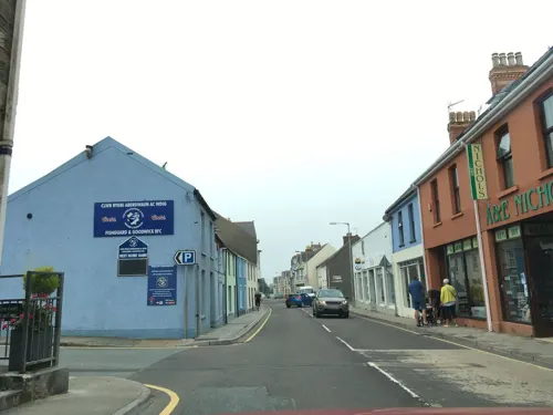
Museums and landmarks10


Cylch Gorsedd Eisteddfod Genedlaethol Abergwaun
Monument and historic site · 1.0 mi

Parks, trails and playgrounds3


Restaurants and cafes24
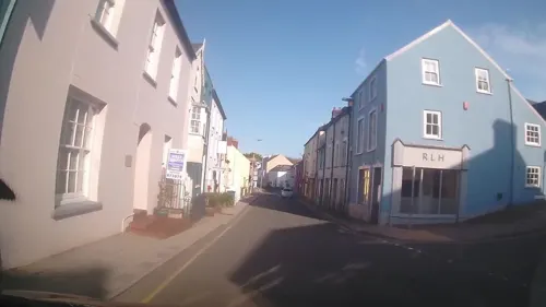
Barfive
Bar and pub · 1.1 mi
5 Main Street
Mo-We off; Th-Sa 17:00-23:00; Su 14:00-23:00
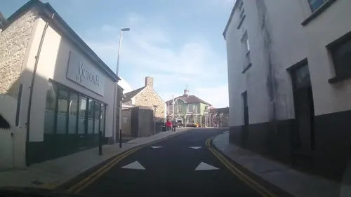
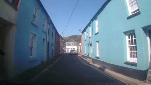
The Ship Inn
Bar and pub · 1.3 mi
3 Newport Road
Mo-Tu off; We-Fr 17:00-23:00; Sa 12:00-23:00; Su 12:00-21:00
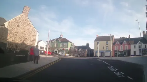
Cove Corner
Cafe · Coffee Shop · 1.1 mi
Market Square, Fishguard
Mo-Th 08:00-17:00; Su 09:00-15:00; Fr-Sa 08:00-22:00

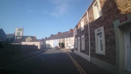
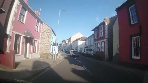
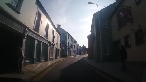
Mannings
Cafe · Breakfast, Cake, Coffee Shop · 1.0 mi
18 West Street, Fishguard

12 more on the map.
History
During the Viking Age, the coasts of Wales were subjected to raids in the latter 10th century. Norse trading posts and settlements were established. The name probably derives from a combination of the old Norse forms: góðr (good) and vik (bay or cove) giving góðrvik. Compare formation with Reykjavík (Smoking Bay) where reykr = 'smoke' and Wick, Caithness and Lerwick.
In 1078 Goodwick Moor was the scene of a bloody battle in which Rhys, son of Owain ap Edwyn, was defeated and slain by Trahaearn ap Caradog (Brut y Tywysogion) in the Battle of Goodwick (also known as the Battle of Pwllgwdig).
Goodwick Sands, the local beach, is where the defeated French invasion force assembled prior to their unconditional surrender on 24 February 1797 after the Battle of Fishguard.
Goodwick was a small fishing village in the parish of Llanwnda, but in 1887 work commenced on a railway connection and harbour, and the village grew rapidly to service this. The main industry is now tourism, although in the town's industrial past brick making was once an important industry. Some fishing still takes place on a small scale but most activity is centered on Milford Haven.
From the History section of Goodwick on Wikipedia, under CC BY-SA 4.0.
Where to stay8
Churches and places of worship6
Shopping13
Gas and EV charging1
Schools, colleges and libraries4
Healthcare2
Map of Goodwick
72 places. The map loads OpenStreetMap tiles when you open it.
Getting there and nearby towns
Haverfordwest Airport (HAW) is the nearest airport with scheduled flights listed in OpenStreetMap, 12 miles away.
- Haverfordwest 14 mi south, about 23 min by car
- Saint Davids 14 mi southwest, about 23 min by car
- Johnston 17 mi south, about 28 min by car
- Narberth 18 mi southeast, about 29 min by car
- Milford Haven 20 mi south, about 33 min by car
- Neyland 20 mi south, about 33 min by car
- Whitland 21 mi southeast, about 33 min by car
- Pembroke Dock 22 mi south, about 35 min by car
- Kilgetty 22 mi southeast, about 36 min by car
- Pembroke 23 mi south, about 37 min by car
Drive times are estimates from straight-line distance, not routes.
Towns near Goodwick


Keep exploring
Local news
Headlines from INDB.
Reviews, tips and questions
Loading what members have shared...
Sources and licences
- GeoNames (CC BY 4.0): population, coordinates, regions and time zone
- Mapillary (see each image): photos
- OpenStreetMap contributors (ODbL 1.0): places, airports, map data
- Wikidata (CC0 1.0): elevation, founding date, time zone, website
- Wikimedia Commons (see each image): photos
- Wikipedia (CC BY-SA 4.0): overview and history text
Photo credits
- Goodwick reflections, ceridwen, CC BY-SA 2.0
- Bennetts Navy Tavern DSC 8645 -1, Talsarnau Times, CC BY-SA 3.0
- Fishguard Fort DSC 8631 -1, Talsarnau Times, CC BY-SA 3.0
- Street-level photo, southglos, CC BY-SA 4.0
- Street-level photo, southglos, CC BY-SA 4.0
- Street-level photo, trigpoint, CC BY-SA 4.0
- Street-level photo, trigpoint, CC BY-SA 4.0
- Street-level photo, trigpoint, CC BY-SA 4.0
- Street-level photo, trigpoint, CC BY-SA 4.0
- Street-level photo, trigpoint, CC BY-SA 4.0
- Street-level photo, southglos, CC BY-SA 4.0
- Street-level photo, southglos, CC BY-SA 4.0
- Street-level photo, trigpoint, CC BY-SA 4.0
- Street-level photo, trigpoint, CC BY-SA 4.0
- Street-level photo, trigpoint, CC BY-SA 4.0
- Street-level photo, trigpoint, CC BY-SA 4.0
- Street-level photo, trigpoint, CC BY-SA 4.0
- Street-level photo, trigpoint, CC BY-SA 4.0
- Street-level photo, southglos, CC BY-SA 4.0
- Street-level photo, southglos, CC BY-SA 4.0
- Street-level photo, trigpoint, CC BY-SA 4.0
- Street-level photo, trigpoint, CC BY-SA 4.0
- Street-level photo, southglos, CC BY-SA 4.0
- Street-level photo, trigpoint, CC BY-SA 4.0
- Street-level photo, southglos, CC BY-SA 4.0
- Street-level photo, southglos, CC BY-SA 4.0
- Street-level photo, southglos, CC BY-SA 4.0
- Street-level photo, southglos, CC BY-SA 4.0
- Street-level photo, southglos, CC BY-SA 4.0
- Street-level photo, trigpoint, CC BY-SA 4.0
- Street-level photo, southglos, CC BY-SA 4.0
- Street-level photo, trigpoint, CC BY-SA 4.0
- Street-level photo, trigpoint, CC BY-SA 4.0
- Street-level photo, trigpoint, CC BY-SA 4.0
Page built November 10, 2026. Spotted a mistake? Tell us or suggest a place.