


Why visit Kilgetty
Townapedia lists 3 museums and landmarks, 6 parks and trails, 12 places to eat, 19 places to stay and 7 attractions in and around town.
Highlights include Folly Farm and Folly Farm Adventure Park and Zoo.
Weather in Kilgetty
Forecast from MET Norway (CC BY 4.0). Full forecast
About Kilgetty
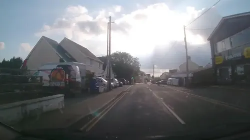
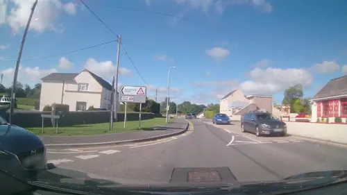
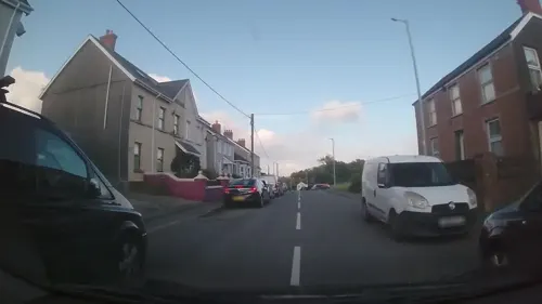
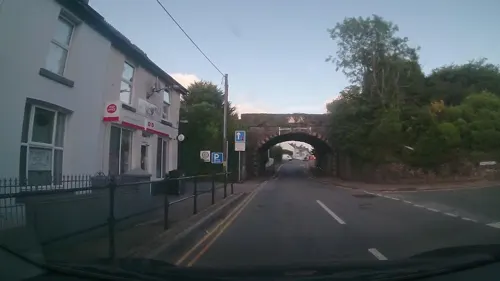
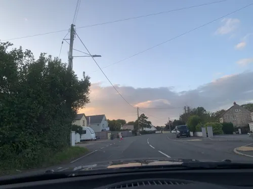
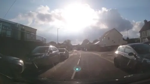
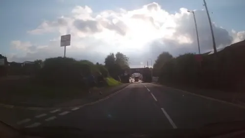
Kilgetty (Welsh: Cilgeti; ) is a village immediately north of Saundersfoot in Pembrokeshire, Wales, at the junction of the A477 between St. Clears and Pembroke Dock and the A478 between Tenby and Cardigan.
From the Wikipedia article Kilgetty (this version), under CC BY-SA 4.0.
Things to do7



Museums and landmarks3

Parks, trails and playgrounds6
Folly Farm Adventure Park and Zoo
Park · 0.9 mi
Zoo in Pembrokeshire, Wales



Restaurants and cafes12

Lan y Mor
Restaurant · Asian, Roast, Burger, British, Welsh · 1.5 mi
Mo Off; Tu Off; We-Sa 12:00-14:45,17:30-21:00; Su 12:00-17:30



History
Kilgetty, in Narberth Hundred and the parish of St Issel's, was the name of an ancient mansion owned by the Picton family and was already decaying in the 19th century, according to Lewis's Topographical Dictionary of Wales published in 1833. It was subsequently. demolished. The remnants of the garden are designated Grade II on the Cadw/ICOMOS Register of Parks and Gardens of Special Historic Interest in Wales.
Kilgetty has an industrial heritage and was part of the Pembrokeshire anthracite coalfield. Coal had been mined locally since the middle ages and was easily accessible as the coal seams were comparatively close to the surface.
While much larger colliery settlements emerged further east in the nineteenth century the coal industry in Pembrokeshire also expanded. During the 1870s the miners of the locality became involved with the Amalgamated Association of Miners and in 1874 trade union leader Thomas Halliday addressed the miners of the locality on Begelly Common.
The last Pembrokeshire coal mine, at Kilgetty, closed in 1950.
From the History section of Kilgetty on Wikipedia, under CC BY-SA 4.0.
Where to stay19
Churches and places of worship3
Shopping2
Gas and EV charging2
Schools, colleges and libraries2
Healthcare1
Map of Kilgetty
57 places. The map loads OpenStreetMap tiles when you open it.
Getting there and nearby towns
Haverfordwest Airport (HAW) is the nearest airport with scheduled flights listed in OpenStreetMap, 12 miles away.
- Saundersfoot 2 mi southeast, about 3 min by car
- Tenby 4 mi south, about 7 min by car
- Narberth 5 mi north, about 7 min by car
- Whitland 7 mi northeast, about 12 min by car
- Pembroke 9 mi southwest, about 15 min by car
- Pembroke Dock 10 mi west, about 16 min by car
- Neyland 10 mi west, about 16 min by car
- Saint Clears 11 mi northeast, about 18 min by car
- Haverfordwest 12 mi northwest, about 19 min by car
- Milford Haven 14 mi west, about 22 min by car
Drive times are estimates from straight-line distance, not routes.
Towns near Kilgetty


Keep exploring
Local news
Headlines from INDB.
Reviews, tips and questions
Loading what members have shared...
Sources and licences
- GeoNames (CC BY 4.0): population, coordinates, regions and time zone
- Mapillary (see each image): photos
- OpenStreetMap contributors (ODbL 1.0): places, airports, map data
- Wikidata (CC0 1.0): elevation, founding date, time zone, website, landmarks and historic places
- Wikimedia Commons (see each image): photos
- Wikipedia (CC BY-SA 4.0): overview and history text
Photo credits
- Kilgetty stone pic, Orrcad, CC BY-SA 3.0
- Giraffe-feeding, Zoe Wright, CC BY-SA 4.0
- Street-level photo, trigpoint, CC BY-SA 4.0
- Street-level photo, trigpoint, CC BY-SA 4.0
- Street-level photo, trigpoint, CC BY-SA 4.0
- Street-level photo, trigpoint, CC BY-SA 4.0
- Street-level photo, trigpoint, CC BY-SA 4.0
- Street-level photo, trigpoint, CC BY-SA 4.0
- Street-level photo, trigpoint, CC BY-SA 4.0
- Street-level photo, trigpoint, CC BY-SA 4.0
- Street-level photo, trigpoint, CC BY-SA 4.0
- Street-level photo, trigpoint, CC BY-SA 4.0
- Street-level photo, trigpoint, CC BY-SA 4.0
- Street-level photo, trigpoint, CC BY-SA 4.0
- Street-level photo, laye, CC BY-SA 4.0
Page built November 10, 2026. Spotted a mistake? Tell us or suggest a place.