


Why visit Pembroke
Townapedia lists 5 museums and landmarks, 2 parks and trails, 13 places to eat, 7 places to stay and 1 attraction in and around town.
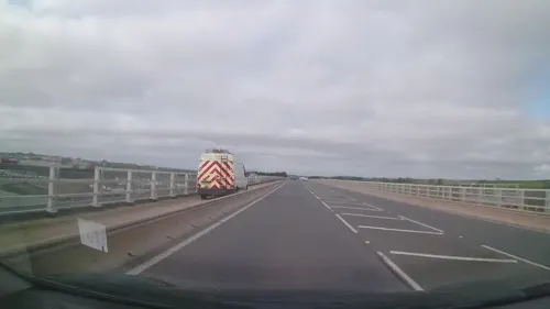
Highlights include Cleddau Bridge, Pembroke Castle and Pembroke Museum.
Weather in Pembroke
Forecast from MET Norway (CC BY 4.0). Full forecast
About Pembroke
Pembroke ( PEM-bruuk; Welsh: Penfro [ˈpɛnvrɔ]) is a town and community in Pembrokeshire, Wales, with a population of 7,552. The names of both the town and the county (of which the county town is Haverfordwest) have a common origin; both are derived from the Cantref of Penfro: Pen, 'head' or 'end', and bro, 'region', 'country', 'land', which has been interpreted to mean either 'Land's End' or 'headland'.
From the Wikipedia article Pembroke, Pembrokeshire (this version), under CC BY-SA 4.0.
Travel tips from other travellers: Pembroke on Wikivoyage (CC BY-SA 4.0).
Things to do1
Museums and landmarks5

Pembroke Castle
Monument and historic site · 0.4 mi
Medieval castle in Wales


Parks, trails and playgrounds2


Restaurants and cafes13
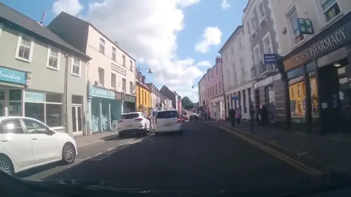
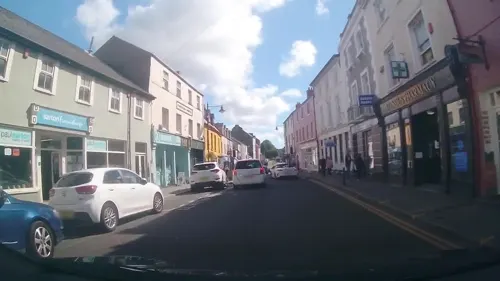
Café Rose
Cafe · Mediterranean
28 Main Street, Pembroke
Tu-Th 09:30-15:00; Fr-Sa 09:30-15:00, 18:00-21:00
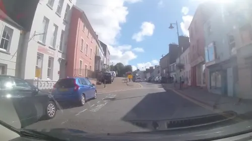
The Hope Inn
Bar and pub
4 East End Square Main Street, Pembroke

Rowlies Fish & Chips
Restaurant · Fish And Chips
2 Main Street
Mo-Th 11:00-19:00; Fr,Sa 11:00-19:30


1 more on the map.
History
Pembroke Castle, the substantial remains of a stone medieval fortress founded by the Normans in 1093, stands at the western tip of a peninsula surrounded by water on three sides. The castle was the seat of the powerful Earls of Pembroke and the birthplace of King Henry VII of England. Gerald de Windsor was the first recorded Constable of Pembroke. Pembroke town and castle and its surroundings are linked with the early Christian church. Following the final extension of the castle about 1254 the town was extended and defensive perimeter walls erected around the edge of the town. The walls survive on their medieval foundations, although much rebuilt over the centuries. A great many of the town's original medieval burgage plots survive and are divided by early stone walls that are of significant national importance.
Monkton Priory, sited on a hill across the river from the castle, founded in 1098 by Arnulf de Montgomery and granted by him to the Benedictine order, has very early foundations and retains much of the Norman walls of the nave. The choir and sanctuary were renovated in the nineteenth century. Monkton Hall, close by the Priory church, is regarded as the oldest domestic building in Pembrokeshire and possibly Wales and is thought to have been the guesthouse for visitors to the Priory.
Read more of the history
The first stone building in the town was a defensive tower, now known as the Medieval Chapel, at 69a Main Street and built on a cliff edge. There are the remains of a great hall to the north and recently filled-in arched cellars. The building was thought to have been later used as an early church as the layout is the same as St. Govan's Chapel and was used by John Wesley in 1764 to preach Methodism. In 1866 it became the brewery for the York Tavern which was briefly Oliver Cromwell's headquarters at the end of the Siege of Pembroke during the English Civil War.
The town's main bridge across the River Pembroke, which also acts as a dam, crosses and constrains the millpond. The first bridge was constructed to house a tide mill, originally granted to the Knight's Templar in 1199. The last mill building was destroyed by fire in 1956.
On both banks of the Pembroke River to the west of the castle are many remains of early activities. The North Shore Quarries are relatively complete as are the remains of medieval and Elizabethan slipways where wooden vessels were built before the industrial dockyard and admiralty town was built on the grid pattern of Pembroke Dock. There is a very early complete graving dock in what was Hancock's Yard.
During the English Civil War, the strategic maritime shire was primarily in the control of the parliamentary forces which aspired to prevent communication to Ireland.
At Pennar Flats there was an early submarine base used for experiments in submarine warfare. Three of the houses on the then foreshore, part of the shipyard before the Admiralty Dock Yard was built, are still standing but are heavily altered.
The ferry port of Pembroke Dock is 3 miles (4.8 km) to the northwest of Pembroke. It was established in 1814.
From the History section of Pembroke, Pembrokeshire on Wikipedia, under CC BY-SA 4.0.
More about Pembroke
Geography
Pembroke town stands on the South Pembrokeshire limestone peninsula by the estuary of the River Cleddau, flanked on all sides by woodland and arable farmland. The town is 8 miles (13 km) south of the county town of Haverfordwest.
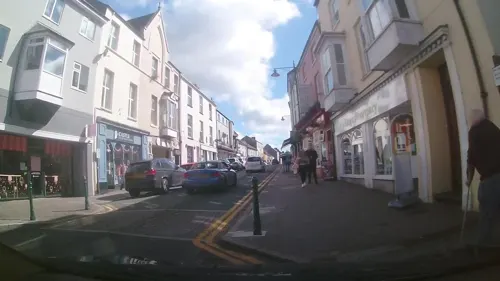
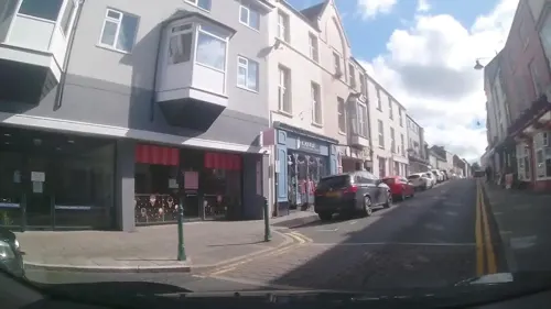
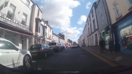
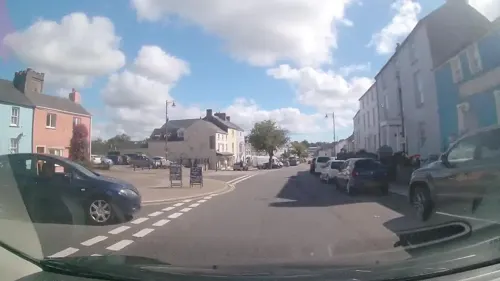
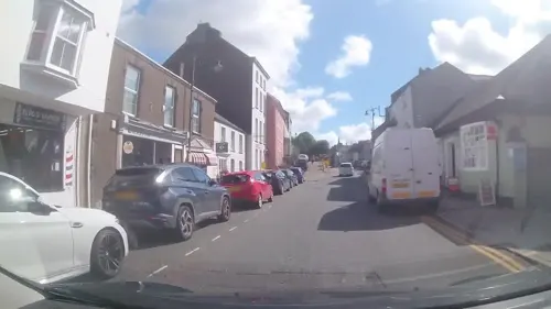
The town is centred on Main Street, which is the only street that is inside the original Pembroke town walls. Outside the walls, residential estates have been built to the north towards Pembroke Dock, to the east towards Lamphey, and to the south. To the west of the town lies the village of Monkton, which is included as part of the community of Pembroke. At the 2001 census, the community had a population of 7,214.
The conurbation of Pembroke Dock and Pembroke has a combined population of 15,890 and as such is one of the major population centres of West Wales.
Arts and culture
Pembroke 21C community association was founded in 2004, and is based out of the Foundry House building on the Commons, which they operate as a community centre. Activities carried out by 21C include organising the annual Pembroke Festival, running the town's fortnightly farmers' market and producing a quarterly newsletter which is distributed to all households in the town. Pembroke Rugby Club organises the town's annual carnival, which is usually held in June. Pembroke Library shares a building with the Tourist Information Centre on Commons Road and offers a full lending service and internet access.
Pembroke has been twinned with the towns of Bergen, Lower Saxony, Germany, since 1977 and Pembroke, Malta, since 2002.
Education
Primary and pre-school (ages 3–11) education in Pembroke is served by three state schools. In Pembroke town, Golden Grove CP School is an English-medium school established in 2002 as a dual stream school following the amalgamation of Golden Manor Infants School and Grove Junior School. Since 2024, Welsh-medium primary education has been provided by Ysgol Bro Penfro. In Monkton, pupils can attend Monkton Priory CP School.
Secondary education is provided by Henry Tudor School (in Welsh: Ysgol Harri Tudur), a mixed 11–18 comprehensive school of 1,600 pupils with a sixth form of about 200. The school was formed in 1972 as a result of the amalgamation of the former grammar school and secondary modern school. Previously known as Pembroke School, it adopted its current name in September 2018 following the construction of new buildings on the same site and the demolition of the original buildings. The school takes pupils from the Pembroke family of schools, which as well as Golden Grove and Monkton Priory includes community primary schools in Lamphey, Orielton, Pennar and Pembroke Dock, voluntary controlled primary schools in Angle, Cosheston and Stackpole, and St. Mary's Catholic Primary School in Pembroke Dock.
From the Wikipedia article Pembroke, Pembrokeshire, under CC BY-SA 4.0.
Notable people from Pembroke
 Mervyn JohnsWelsh actor (1899–1992)Photo: Ealing Studios, Public domain
 Gwen of TalgarthCornish-Welsh saintPhoto: Bill Booth, CC BY-SA 2.0
 William ManselBritish bishop (1753-1820)Photo: Attributed to George Henry Harlow, Public domain
 Reg ThomasBritish middle-distance runner (1907-1946)Photo: Agence de presse Meurisse, Public domain
 William BowenWelsh rugby union playerPhoto: Walter Alfred Pearce, Public domain
 Peter BishopEnglish painterPhoto: Peter Bishop, CC BY-SA 4.0
- William Davies EvansWelsh navy captain, inventor and chess player
- Daniel JonesWelsh composer (1912-1993)
- Eva MarshalWelsh noble
- Jonathan ThomasWelsh rugby union footballer and coach
- William F. GrimesBritish archaeologist (1905–1988)
- Gwen ferch Cynyrqueen of Cerniw and saint
Born in Pembroke, according to Wikidata (CC0). Each name links to its Wikipedia article.
Where to stay7
Churches and places of worship10
Shopping2
Schools, colleges and libraries5
Map of Pembroke
45 places. The map loads OpenStreetMap tiles when you open it.
Getting there and nearby towns
Haverfordwest Airport (HAW) is the nearest airport with scheduled flights listed in OpenStreetMap, 11 miles away.
- Pembroke Dock 2 mi northwest, about 3 min by car
- Milford Haven 6 mi northwest, about 9 min by car
- Haverfordwest 9 mi north, about 15 min by car
- Tenby 9 mi east, about 14 min by car
- Saundersfoot 9 mi east, about 15 min by car
- Whitland 16 mi northeast, about 26 min by car
- Saint Clears 20 mi northeast, about 33 min by car
- Saint Davids 21 mi northwest, about 33 min by car
- Carmarthen 29 mi northeast, about 46 min by car
- Llanelli 32 mi east, about 52 min by car
Drive times are estimates from straight-line distance, not routes.
Towns near Pembroke


Keep exploring
Local news
Headlines from INDB.
Reviews, tips and questions
Loading what members have shared...
Sources and licences
- GeoNames (CC BY 4.0): population, coordinates, regions and time zone
- Mapillary (see each image): photos
- OpenStreetMap contributors (ODbL 1.0): places, airports, map data
- Wikidata (CC0 1.0): elevation, founding date, time zone, website, landmarks and historic places
- Wikimedia Commons (see each image): photos
- Wikipedia (CC BY-SA 4.0): overview and history text
Photo credits
- Melbourne House Pembroke, Sionk, CC BY-SA 4.0
- Former Wesley Chapel, Pembroke, Reading Tom, CC BY 2.0
- Pembroke town walls - 3844235 2cf92369, N Chadwick, CC BY-SA 2.0
- PembrokeCastle 2007, Monkeyrustler at English Wikipedia, Public domain
- Statue Of William Marshal, Poupipouw, CC0
- Rowlies Fish and Chips Pembroke, Sionk, CC BY-SA 4.0
- Street-level photo, trigpoint, CC BY-SA 4.0
- Street-level photo, trigpoint, CC BY-SA 4.0
- Street-level photo, trigpoint, CC BY-SA 4.0
- Street-level photo, trigpoint, CC BY-SA 4.0
- Street-level photo, trigpoint, CC BY-SA 4.0
- Street-level photo, trigpoint, CC BY-SA 4.0
- Street-level photo, trigpoint, CC BY-SA 4.0
- Street-level photo, trigpoint, CC BY-SA 4.0
- Street-level photo, trigpoint, CC BY-SA 4.0
- Street-level photo, trigpoint, CC BY-SA 4.0
- Street-level photo, wibbit, CC BY-SA 4.0
- Street-level photo, trigpoint, CC BY-SA 4.0
- Street-level photo, trigpoint, CC BY-SA 4.0
- Street-level photo, trigpoint, CC BY-SA 4.0
- Street-level photo, trigpoint, CC BY-SA 4.0
- Street-level photo, trigpoint, CC BY-SA 4.0
- Street-level photo, trigpoint, CC BY-SA 4.0
- Street-level photo, trigpoint, CC BY-SA 4.0
- Street-level photo, trigpoint, CC BY-SA 4.0
- Street-level photo, trigpoint, CC BY-SA 4.0
Page built November 10, 2026. Spotted a mistake? Tell us or suggest a place.