

Why visit Whitland
Townapedia lists 2 museums and landmarks, 1 park or trail, 4 places to eat and 2 places to stay in and around town.
Highlights include Whitland Abbey.
Weather in Whitland
Forecast from MET Norway (CC BY 4.0). Full forecast
About Whitland
Whitland (Welsh: Hendy-gwyn, lit. 'Old White House', or Hendy-gwyn ar Daf, lit. 'Old White House on the River Taf', from the medieval Ty Gwyn ar Daf) is a town and community in Carmarthenshire, Wales.
From the Wikipedia article Whitland (this version), under CC BY-SA 4.0.
Museums and landmarks2


Parks, trails and playgrounds1

Restaurants and cafes4


Where to stay2

History
Traditionally, Whitland is seen as the site of an assembly of lawyers and churchmen, sometimes described as the first Welsh parliament, called in 930 by King Hywel Dda to codify the native Welsh laws.
Whitland takes its name from its medieval Cistercian abbey. The monastery pre-dates Tintern but now is very much a ruin. The "white land" of the name (Latin: Albalanda) may refer to the famous Ty Gwyn (English: White House) where Hywel's parliament met, to the monks' unstained woollen cloaks, or to the abbey's limestone. Whitland was dissolved during Henry VIII's conversion to a reformed church. Much of its limestone was taken and used for other buildings. The limestone itself may have been from quarries in the Cotswolds as there is no quarry of this ' White' stone in the area. The country setting of the ruin and the Abbey's layout can still be viewed just north of the A40 roundabout and turning immediately left.
Whitland has had a strong milk industry and, when the railway arrived in the 19th century, exported milk to London. Its dairy, run by Dairy Crest, eventually closed in 1994 with the loss of 100 jobs.
Whitland Town Hall was originally commissioned for retail use and was completed in 1904.
Read more of the history
Despite losing its dairy and remaining high street bank, Whitland has an estimated 125 small businesses as well as Whitland Engineering, which services the dairy industry and in 2019 employed 90 people.
From the History section of Whitland on Wikipedia, under CC BY-SA 4.0.
More about Whitland
Geography
The Whitland community is bordered by the communities of: Henllanfallteg; Llanboidy; and Eglwyscummin, all being in Carmarthenshire; and by Lampeter Velfrey and Llanddewi Velfrey in Pembrokeshire.
Education
There are two schools: the primary school is Ysgol Llys Hywel; the secondary is Dyffryn Taf. Whitland has many local sporting teams including Rugby union, football (soccer), cricket, short and long mat bowls, darts and billiards.
From the Wikipedia article Whitland, under CC BY-SA 4.0.
Notable people from Whitland
- William MathiasWelsh composer (1934-1992)
- Ewart LewisWelsh Anglican priest (1914–1963)
Born in Whitland, according to Wikidata (CC0). Each name links to its Wikipedia article.
Churches and places of worship3
Schools, colleges and libraries1
Map of Whitland
13 places. The map loads OpenStreetMap tiles when you open it.
Getting there and nearby towns
Haverfordwest Airport (HAW) is the nearest airport with scheduled flights listed in OpenStreetMap, 15 miles away.
- Carmarthen 13 mi east, about 22 min by car
- Haverfordwest 15 mi west, about 24 min by car
- Milford Haven 19 mi west, about 31 min by car
- Llanelli 22 mi southeast, about 35 min by car
- Ammanford 27 mi east, about 43 min by car
- Gorseinon 27 mi southeast, about 43 min by car
- Swansea 32 mi southeast, about 51 min by car
- Clydach 32 mi east, about 51 min by car
- Neath 36 mi east, about 58 min by car
- Briton Ferry 36 mi east, about 59 min by car
Drive times are estimates from straight-line distance, not routes.
Towns near Whitland


Keep exploring
Local news
Headlines from INDB.
Reviews, tips and questions
Loading what members have shared...
Sources and licences
- GeoNames (CC BY 4.0): population, coordinates, regions and time zone
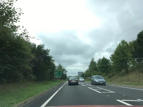
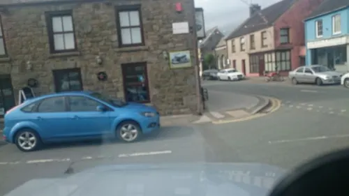
- Mapillary (see each image): photos
- OpenStreetMap contributors (ODbL 1.0): places, airports, map data
- Wikidata (CC0 1.0): elevation, founding date, time zone, website
- Wikimedia Commons (see each image): photos
- Wikipedia (CC BY-SA 4.0): overview and history text
Photo credits
- WhitlandAbbey, JohnArmagh, Public domain
- Street-level photo, southglos, CC BY-SA 4.0
- Street-level photo, brianh, CC BY-SA 4.0
Page built November 10, 2026. Spotted a mistake? Tell us or suggest a place.