


Great Amwell, United Kingdom
Great Amwell is a town of 1,098 people in England, United Kingdom.
Why visit Great Amwell
Townapedia lists 13 museums and landmarks, 15 parks and trails, 50 places to eat, 1 place to stay and 4 attractions in and around town.
Highlights include Kingsmead Viaduct, Foxholes Farm Shop & Butchery, Scott's Grotto and Hertford Museum.
Weather in Great Amwell
Forecast from MET Norway (CC BY 4.0). Full forecast
About Great Amwell
Great Amwell is a village and civil parish in the East Hertfordshire district of Hertfordshire, England. It lies 1+1⁄2 miles (2.4 km) south-east of Ware, its post town, and about 20 miles (32 km) north of London. At the 2021 census the parish had a population of 2,223.
From the Wikipedia article Great Amwell (this version), under CC BY-SA 4.0.
Photos of Great Amwell

Things to do4




Museums and landmarks13


Hertford Museum
Museum · 2.7 mi
Local museum in Hertford, Hertfordshire, England, United Kingdom


1 more on the map.
Parks, trails and playgrounds15


Hartham Common
Park · 2.7 mi
Park in Hertford, Hertfordshire, England, UK


King's Meads
Park · 1.6 mi
Nature reserve in Ware, Hertfordshire, United Kingdom


3 more on the map.
Restaurants and cafes50
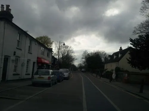
Khunnai Thai & Japanese
Restaurant · Asian, Japanese, Thai · 0.9 mi
73 High Street, Stanstead Abbotts
Tu 17:30-22:30, We-Su 11:30-15:00,17:30-22:30
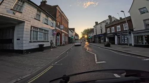
Sala Thai
Restaurant · Thai · 1.5 mi
34 High Street, Ware
PH 17:00-23:00; Tu-Th 12:00-15:00,18:00-22:30; Fr-Sa...
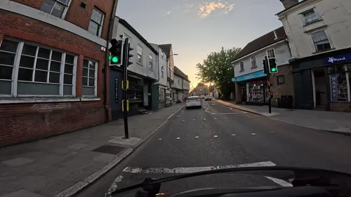
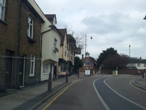
Taste of Raj
Restaurant · 1.1 mi
11 High Street, Stanstead Abbotts
Mo-Th 17:30-23:00, Fr-Sa 17:30-23:30, Su 17:30-23:00

The Jolly Fisherman
Bar and pub · 0.8 mi
8 Station Road, Ware
Mo-Sa 11:00-23:00; Su 12:00-22:30
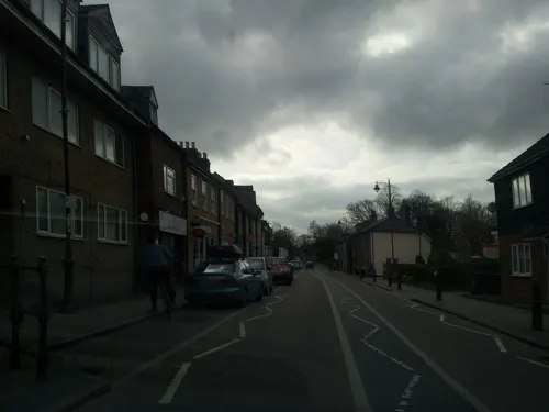

The Red Lion
Bar and pub · 1.1 mi
1 High Street, Ware
Th-Sa 12:00-23:00; Su 12:00-21:00; Mo 15:00-19:00; Tu 15:00-23:00;...

The Spread Eagle
Bar and pub · 1.4 mi
37 Amwell End, Ware
Mo-Sa 12:00-23:00; Su 12:00-22:30
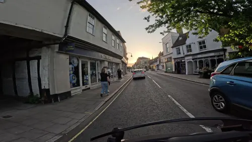
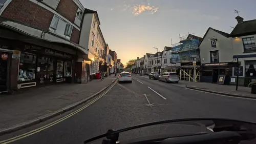
Essense of India
Restaurant · Indian · 1.5 mi
1 East Street, Ware
Mo,We-Th,Su 17:00-22:00; Fr-Sa 17:00-22:30
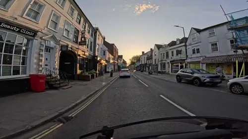
The Snug Bar
Bar and pub · 1.5 mi
22-24 High Street, Ware
We 17:00-23:00; Th 17:00-00:00; Fr-Sa 12:00-01:00; Su 12:00-00:00

38 more on the map.
History
On a hill above the church there are some traces of an Iron Age hill fort, but more substantial remains of the earthworks were destroyed by landscaping of the Old Vicarage gardens in about 1840. To the west, on the road to Hertford, is a large tumulus at Barrowfield.
In the Domesday Book of 1086 Great Amwell and neighbouring Little Amwell were a single parish recorded as "Emmewell". By the 17th century, the name of the village was recorded as Amwell Magna, Much Amwell or Great Amwell. The name is probably derived from a spring to the northeast of the village called Emma's Well, which was used by Sir Hugh Myddelton as one of the sources of the New River in the early 17th century. It is believed to have been named after Queen Emma of Normandy, wife of King Æthelred and King Cnut the Great. A nearby white stone memorial is inscribed with verses from by the Quaker poet, John Scott of Amwell (1730-1783).
The Church of England parish church is a medieval building dedicated to St John the Baptist. The nave and chancel date from the 11th century with a Norman chancel arch. A bell tower was added in the 15th century and the building was restored in 1866. It is a Grade II* listed building. The stocks in the churchyard date from the 17th or 18th century and were moved there from behind the George IV pub in 1887.
Read more of the history
The East India College was founded at the hamlet of Hailey to the south of the parish in 1806, for the education of young men intended for the civil service of the East India Company in India. It was built in the neoclassical style to the design of William Wilkins. When the company was abolished in 1858, the buildings were briefly used as a barracks by the army, but were converted into a public school, Haileybury College, in 1862.
From the History section of Great Amwell on Wikipedia, under CC BY-SA 4.0.
Notable people from Great Amwell
 Christian Scalesassociation football player (born 1996)Photo: Werner100359, CC BY-SA 4.0
- Timothy Bevingtoncricketer (1881-1966)
- Franklin BicknellBritish physician and writer
Born in Great Amwell, according to Wikidata (CC0). Each name links to its Wikipedia article.
Where to stay1
Churches and places of worship13
Shopping3
Gas and EV charging3
Schools, colleges and libraries17
St Andrew's Church of England Voluntary Controlled Primary School
School · Anglican · 1.2 mi
Mill Race, Ware
St John the Baptist Voluntary Aided Church of England Primary School
School · Anglican
Hillside Lane, Ware
Healthcare5
Map of Great Amwell
124 places. The map loads OpenStreetMap tiles when you open it.
Getting there and nearby towns
London Stansted Airport (STN) is the nearest airport with scheduled flights listed in OpenStreetMap, 13 miles away.
- Ware 2 mi north, about 2 min by car
- Hoddesdon 2 mi south, about 3 min by car
- Hertford 3 mi west, about 4 min by car
- Broxbourne 3 mi south, about 5 min by car
- Roydon 3 mi southeast, about 4 min by car
- Harlow 6 mi east, about 9 min by car
- Cheshunt 6 mi south, about 10 min by car
- Waltham Abbey 7 mi south, about 12 min by car
- Waltham Cross 7 mi south, about 12 min by car
- Welwyn Garden City 8 mi west, about 13 min by car
Drive times are estimates from straight-line distance, not routes.
Towns near Great Amwell


Keep exploring
Local news
Headlines from INDB.
Reviews, tips and questions
Loading what members have shared...
Sources and licences
- GeoNames (CC BY 4.0): population, coordinates, regions and time zone
- Mapillary (see each image): photos
- OpenStreetMap contributors (ODbL 1.0): places, airports, map data
- Wikidata (CC0 1.0): elevation, founding date, time zone, website, landmarks and historic places
- Wikimedia Commons (see each image): photos
- Wikipedia (CC BY-SA 4.0): overview and history text
Photo credits
- St John the Baptist's church, Great Amwell 2020-08-23, Colin, CC BY-SA 4.0
- KingsmeadViaductFromWare, Jamsta at English Wikipedia, CC BY-SA 3.0
- Hertford Museum, Caitlin from Hertfordshire, UK, CC BY 2.0
- Hertford Heath north 9, Dudley Miles, CC BY-SA 4.0
- Amwell Quarry 16, Dudley Miles, CC BY-SA 4.0
- Willowmead 2, Dudley Miles, CC BY-SA 4.0
- All Saints' Church, Hertford 1 2020-09-01, Colin, CC BY-SA 4.0
- St Leonard's Church, Bengeo 1 2020-08-23, Colin, CC BY-SA 4.0
- 2022-01-29 St Augustine's Church, Broxbourne, The wub, CC BY-SA 4.0
- EasneyeHouse, Cretep, Public domain
- Haileybury College, Chris Hunt, CC BY-SA 2.0
- Saint Andrew Church, Stanstead Abbotts 2020-08-23, Colin, CC BY-SA 4.0
- 2022-01-29 The Red Lion pub, Stanstead Abbotts, The wub, CC BY-SA 4.0
- 2022-01-29 The Jolly Fisherman pub, Stanstead St Margarets, The wub, CC BY-SA 4.0
- Spread Eagle Ware, RobThinks, CC BY-SA 4.0
- 2022-01-29 St Andrew's Primary School, Stanstead Abbotts, The wub, CC BY-SA 4.0
- HarthamPlaygroundSnow, The original uploader was Jamsta at English Wikipedia ., CC BY-SA 2.5
- Balls Wood 8, Dudley Miles, CC BY-SA 4.0
- Danemead 5, Dudley Miles, CC BY-SA 4.0
- Stocks at St John the Baptist's church 2020-08-23, Colin, CC BY-SA 4.0
- Scott's Grotto, Ware, Hertfordshire, United Kingdom, Mike Quinn, CC BY-SA 2.0
- The Clock House, Stanstead Abbotts 2020-08-23, Colin, CC BY-SA 4.0
- GOC Hoddesdon 006 Barclay Park, Hoddesdon (29176082382), Peter O'Connor aka anemoneprojectors, CC BY-SA 2.0
- Street-level photo, adam2, CC BY-SA 4.0
- Street-level photo, wasd42, CC BY-SA 4.0
- Street-level photo, adam2, CC BY-SA 4.0
- Street-level photo, adam2, CC BY-SA 4.0
- Street-level photo, adam2, CC BY-SA 4.0
- Street-level photo, wasd42, CC BY-SA 4.0
- Street-level photo, wasd42, CC BY-SA 4.0
- Street-level photo, adam2, CC BY-SA 4.0
- Street-level photo, adam2, CC BY-SA 4.0
- Street-level photo, wasd42, CC BY-SA 4.0
- Street-level photo, wasd42, CC BY-SA 4.0
- Street-level photo, wasd42, CC BY-SA 4.0
- Street-level photo, wasd42, CC BY-SA 4.0
- Street-level photo, wasd42, CC BY-SA 4.0
- Street-level photo, wasd42, CC BY-SA 4.0
- Street-level photo, wasd42, CC BY-SA 4.0
- Street-level photo, adam2, CC BY-SA 4.0
- Street-level photo, wasd42, CC BY-SA 4.0
- Street-level photo, wasd42, CC BY-SA 4.0
- Street-level photo, adam2, CC BY-SA 4.0


Page built November 10, 2026. Spotted a mistake? Tell us or suggest a place.