


Why visit Roydon
Townapedia lists 7 museums and landmarks, 19 parks and trails, 10 places to eat and 3 places to stay in and around town.
Highlights include Rye House Gatehouse, Hawkenbury Meadow and Hunsdon Mead.
Weather in Roydon
Forecast from MET Norway (CC BY 4.0). Full forecast
About Roydon
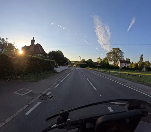
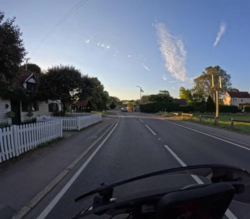
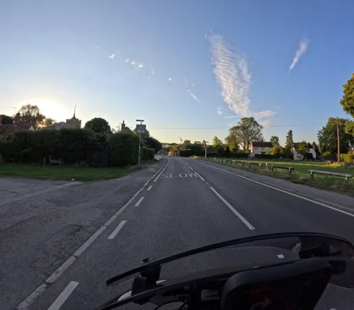
Roydon is a village and civil parish in the Epping Forest district of Essex, England. It is located 2 miles (3.2 km) west of Harlow, 4 miles (6.4 km) east of Hoddesdon and 5 miles (8.0 km) north-west of Epping, forming part of the border with Hertfordshire. At the 2021 census the parish had a population of 3,074.
From the Wikipedia article Roydon, Essex (this version), under CC BY-SA 4.0.
Museums and landmarks7



Parks, trails and playgrounds19



7 more on the map.
Restaurants and cafes10

The Red Lion
Bar and pub · 1.8 mi
1 High Street, Ware
Th-Sa 12:00-23:00; Su 12:00-21:00; Mo 15:00-19:00; Tu 15:00-23:00;...

Jaal Indian
Restaurant · Indian, Asian · 1.7 mi
Tylers Road, Harlow
Tu-Th, Su 16:30-22:00; Fr-Sa 16:30-22:30


New Wing's Garden
Fast food · Chinese · 1.7 mi
35 Rye Road, Hoddesdon
Where to stay3



More about Roydon
Arts and culture
The village is the home of the Roydon Marina Village. The 32 acres (13 ha) holiday complex comprises a 315 berth marina, camp site, holiday lodges, residential homes, hotel, and restaurant, Pizza and Steak. The area encompasses Roydon Mill, a three-storey, brick-built mill, built in 1906.
Angling is available in the park includes a section of the River Stort, the weir pool and a mature gravel pit. Further to the west is the 120 acres (49 ha) Glen Faba lake which is part of the Lee Valley Park. The name Glen Faba comes from a chalet park that was compulsorily purchased by Epping Forest District Council in the early 1970s.
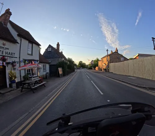
Roydon has one dedicated restaurant, Franco's, and three pubs - The New Inn (now closed), The Crusader (now closed) and The White Hart.
The village hall was built in 1920, and is used by local groups.
From the Wikipedia article Roydon, Essex, under CC BY-SA 4.0.
Notable people from Roydon
- Ralph H. FowlerEnglish physicist (1889-1944)
- Felix BoothBritish businessman (1780-1850)
Born in Roydon, according to Wikidata (CC0). Each name links to its Wikipedia article.
Churches and places of worship16
Church of St Paul Including Attached Bell Tower, Church Hall, Flat Raised Pavement And Steps
Church · 2.3 mi
Gas and EV charging1
Schools, colleges and libraries5
St Andrew's Church of England Voluntary Controlled Primary School
School · Anglican · 1.7 mi
Mill Race, Ware
Healthcare1
Map of Roydon
62 places. The map loads OpenStreetMap tiles when you open it.
Getting there and nearby towns
London Stansted Airport (STN) is the nearest airport with scheduled flights listed in OpenStreetMap, 12 miles away.
- Hoddesdon 2 mi west, about 4 min by car
- Harlow 3 mi east, about 5 min by car
- Broxbourne 3 mi southwest, about 5 min by car
- Ware 4 mi northwest, about 6 min by car
- Hertford 5 mi west, about 9 min by car
- Cheshunt 6 mi southwest, about 9 min by car
- Waltham Abbey 6 mi south, about 10 min by car
- Epping 6 mi southeast, about 10 min by car
- Waltham Cross 7 mi southwest, about 11 min by car
- Enfield Lock 8 mi southwest, about 12 min by car
Drive times are estimates from straight-line distance, not routes.
Towns near Roydon


Keep exploring
Local news
Headlines from INDB.
Reviews, tips and questions
Loading what members have shared...
Sources and licences
- GeoNames (CC BY 4.0): population, coordinates, regions and time zone
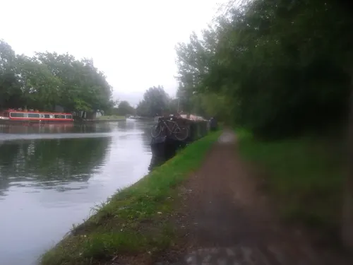
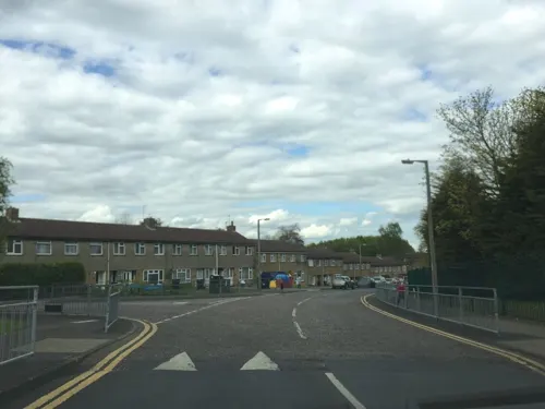
- Mapillary (see each image): photos
- OpenStreetMap contributors (ODbL 1.0): places, airports, map data
- Wikidata (CC0 1.0): elevation, founding date, time zone, website, landmarks and historic places
- Wikimedia Commons (see each image): photos
- Wikipedia (CC BY-SA 4.0): overview and history text
Photo credits
- Stocks and village lock-up, High Street, Roydon (undated) (16969200437), pellethepoet from Sydney, Australia, CC BY 2.0
- Hawkenbury Meadow 8, Dudley Miles, CC BY-SA 4.0
- Amwell Quarry 16, Dudley Miles, CC BY-SA 4.0
- Harlow Marsh, view from Maymeads Marsh bird hide, Dudley Miles, CC BY-SA 4.0
- Hertford Heath north 9, Dudley Miles, CC BY-SA 4.0
- Nazeing Triangle 6, Dudley Miles, CC BY-SA 4.0
- 2022-01-29 St Augustine's Church, Broxbourne, The wub, CC BY-SA 4.0
- St Mary-at-Latton Church, Stmaryatlatton, CC0
- St Paul, Harlow, Steve Cadman from London, U.K., CC BY-SA 2.0
- Aythya fuligula (5800456581), Tim Felce (Airwolfhound), CC BY-SA 2.0
- 2022-01-29 The Red Lion pub, Stanstead Abbotts, The wub, CC BY-SA 4.0
- Briggens House, Abstractrabbit, CC BY-SA 4.0
- 2022-01-29 St Andrew's Primary School, Stanstead Abbotts, The wub, CC BY-SA 4.0
- Harlow Greyhound Stadium c.1995, RJRoweCollection, CC BY-SA 4.0
- 2022-01-29 Remains Of Window And Wall Near Inner Edge Of Moat West Of Rye House Gatehouse, The wub, CC BY-SA 4.0
- The Clock House, Stanstead Abbotts 2020-08-23, Colin, CC BY-SA 4.0
- Hunsdon Mead meadow in Hertfordshire, England, Glyn Baker, CC BY-SA 2.0
- GOC Hoddesdon 006 Barclay Park, Hoddesdon (29176082382), Peter O'Connor aka anemoneprojectors, CC BY-SA 2.0
- The Greyhound pub, from Netteswell Cross, Harlow Town Park, Essex, Mutney, CC BY-SA 4.0
- Street-level photo, wasd42, CC BY-SA 4.0
- Street-level photo, wasd42, CC BY-SA 4.0
- Street-level photo, wasd42, CC BY-SA 4.0
- Street-level photo, wasd42, CC BY-SA 4.0
- Street-level photo, wasd42, CC BY-SA 4.0
- Street-level photo, essexboy, CC BY-SA 4.0
- Street-level photo, cyclestreets, CC BY-SA 4.0
- Street-level photo, wasd42, CC BY-SA 4.0
- Street-level photo, essexboy, CC BY-SA 4.0
- Street-level photo, essexboy, CC BY-SA 4.0
- Street-level photo, wasd42, CC BY-SA 4.0
- Street-level photo, wasd42, CC BY-SA 4.0
- Street-level photo, wasd42, CC BY-SA 4.0
- Street-level photo, cyclestreets, CC BY-SA 4.0
- Street-level photo, essexboy, CC BY-SA 4.0


Page built November 10, 2026. Spotted a mistake? Tell us or suggest a place.