


Eight Ash Green, United Kingdom
Eight Ash Green is a town of 1,106 people in England, United Kingdom.
Why visit Eight Ash Green
Townapedia lists 3 museums and landmarks, 10 parks and trails, 23 places to eat, 3 places to stay and 2 attractions in and around town.
Highlights include Mercury Theatre, The Playhouse, Albert Hall and Camulodunum.
Weather in Eight Ash Green
Forecast from MET Norway (CC BY 4.0). Full forecast
About Eight Ash Green
Eight Ash Green is a village and civil parish in the City of Colchester district of Essex, England. It is on the A1124 road, near Junction 26 (Eight Ash Green Interchange) of the A12 road. At the 2021 census the parish had a population of 1,768.
From the Wikipedia article Eight Ash Green (this version), under CC BY-SA 4.0.
Things to do2

Mercury Theatre
Cinema and theater · 3.1 mi
Theatre in Colchester, England

The Playhouse
Cinema and theater · 3.2 mi
Former theatre and cinema in Colchester, Essex, originally a garrison theatre, now a pub
Museums and landmarks3

Albert Hall
Museum · 3.2 mi
Building in Colchester, Essex, England, UK

Camulodunum
Monument and historic site · 3.4 mi
Roman castrum where Colchester, England now stands

Parks, trails and playgrounds10

Lexden Gathering Grounds
Park · 1.4 mi
Essex Wildlife Trust Nature reserve

Colchester Castle Park
Park · 3.4 mi
Park in Colchester, Essex, England, UK

Colchester Zoo
Park · 2.3 mi
Zoological garden situated in Colchester, England



Hilly Fields, Colchester
Park · 2.7 mi
Local nature reserve in Colchester, England
Restaurants and cafes23
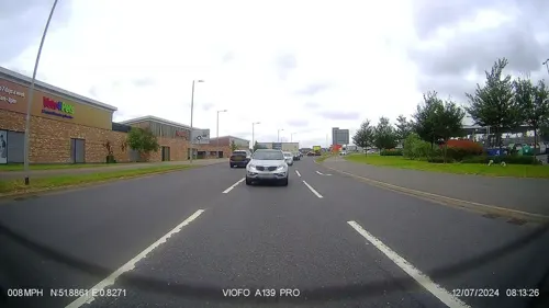
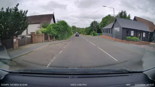
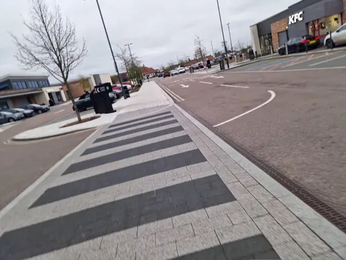
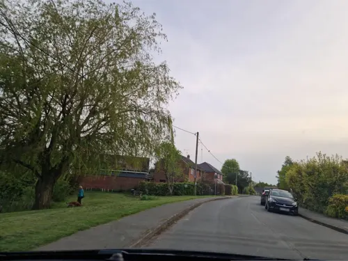
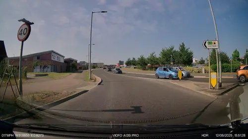
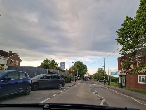


11 more on the map.
Where to stay3
Churches and places of worship16
Assembly of God Praiseway
Church · Missionary · 1.4 mi
27 Straight Road, Colchester
Shopping10
Gas and EV charging3
Schools, colleges and libraries12
Holy Trinity CofE Primary School, Eight Ash Green and Aldham
School · Anglican · 0.6 mi
Fiddlers Folley, Fordham Heath
Healthcare3
Map of Eight Ash Green
85 places. The map loads OpenStreetMap tiles when you open it.
Getting there and nearby towns
London Southend Airport (SEN) is the nearest airport with scheduled flights listed in OpenStreetMap, 23 miles away.
- Colchester 4 mi east, about 6 min by car
- Layer de la Haye 4 mi southeast, about 6 min by car
- Boxted 5 mi northeast, about 8 min by car
- Rowhedge 6 mi southeast, about 9 min by car
- Tolleshunt Knights 7 mi south, about 11 min by car
- Dedham 8 mi northeast, about 14 min by car
- Halstead 9 mi northwest, about 14 min by car
- Witham 10 mi southwest, about 16 min by car
- Sudbury 11 mi north, about 17 min by car
- Braintree 12 mi west, about 19 min by car
Drive times are estimates from straight-line distance, not routes.
Towns near Eight Ash Green


Keep exploring
Local news
Headlines from INDB.
Reviews, tips and questions
Loading what members have shared...
Sources and licences
- GeoNames (CC BY 4.0): population, coordinates, regions and time zone
- Mapillary (see each image): photos
- OpenStreetMap contributors (ODbL 1.0): places, airports, map data
- Wikidata (CC0 1.0): elevation, founding date, time zone, website, landmarks and historic places
- Wikimedia Commons (see each image): photos
- Wikipedia (CC BY-SA 4.0): overview and history text
Photo credits
- The Roman Town Wall, Head Street to the Balkerne Gate 3, Maria, CC BY-SA 3.0
- Lexden Gathering Grounds 7, Dudley Miles, CC BY-SA 4.0
- AJM Colchester Castle Park Spring 004-2 April Tulips, Amandajm, CC BY-SA 4.0
- Iron Latch 4, Dudley Miles, CC BY-SA 4.0
- Lexden Park 9, Dudley Miles, CC BY-SA 4.0
- Spring Lane Meadows 7, Dudley Miles, CC BY-SA 4.0
- St Leonard's Church, Lexden 02, Alansplodge, CC BY-SA 4.0
- Colchester New Church - Olaf 044, Olaf Hauptmann, Public domain
- Colchester St Martin's Church, Goosta, CC BY-SA 3.0
- Outside of Saint Helen's Chapel, CalderRC, CC BY-SA 4.0
- Mercury theatre Building Exterior - Photo by Mercury Theatre, MercuryTheatre, CC BY 4.0
- Albert Hall Building High Street Colchester Essex CO1 1JW, Spudgun67, CC0
- Lexden Earthworks, Alansplodge, CC BY-SA 4.0
- Colchester Zoo August 2010 (4927277431), Martin Pettitt from Bury St Edmunds, UK, CC BY 2.0
- Street-level photo, IpswichEdits, CC BY-SA 4.0
- Street-level photo, edloach, CC BY-SA 4.0
- Street-level photo, edloach, CC BY-SA 4.0
- Street-level photo, IpswichEdits, CC BY-SA 4.0
- Street-level photo, IpswichEdits, CC BY-SA 4.0
- Street-level photo, IpswichEdits, CC BY-SA 4.0
- Street-level photo, edloach, CC BY-SA 4.0
- Street-level photo, edloach, CC BY-SA 4.0
- Street-level photo, edloach, CC BY-SA 4.0
- Street-level photo, edloach, CC BY-SA 4.0
- Street-level photo, edloach, CC BY-SA 4.0
- Street-level photo, edloach, CC BY-SA 4.0
- Street-level photo, edloach, CC BY-SA 4.0
- Street-level photo, edloach, CC BY-SA 4.0
- Street-level photo, IpswichEdits, CC BY-SA 4.0
- Street-level photo, edloach, CC BY-SA 4.0
- Street-level photo, petermead, CC BY-SA 4.0
- Street-level photo, IpswichEdits, CC BY-SA 4.0
- Street-level photo, IpswichEdits, CC BY-SA 4.0
- Street-level photo, IpswichEdits, CC BY-SA 4.0
- Street-level photo, edloach, CC BY-SA 4.0
- Street-level photo, IpswichEdits, CC BY-SA 4.0
- Street-level photo, IpswichEdits, CC BY-SA 4.0
- Street-level photo, edloach, CC BY-SA 4.0


Page built November 10, 2026. Spotted a mistake? Tell us or suggest a place.