


Why visit Gretna
Townapedia lists 12 museums and landmarks, 1 park or trail, 15 places to eat and 23 places to stay in and around town.
Highlights include Star of Caledonia and Lochmaben Stone.
Weather in Gretna
Forecast from MET Norway (CC BY 4.0). Full forecast
About Gretna
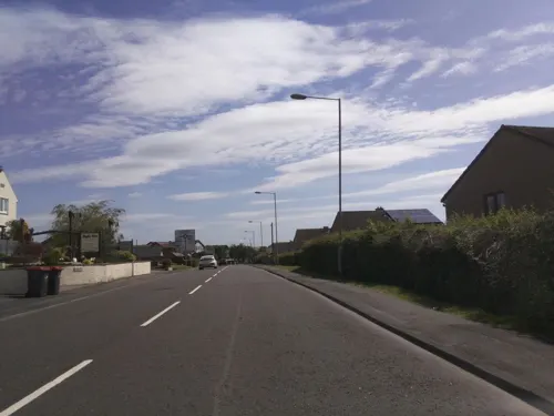
Gretna is a town in Dumfries and Galloway, Scotland, originally part of the historic county of Dumfriesshire. It is located close to the A74(M) on the border of Scotland and England and near the mouths of the rivers Esk and Sark. Gretna was built from 1915 and is about 1km south of the older village Gretna Green.
From the Wikipedia article Gretna, Dumfries and Galloway (this version), under CC BY-SA 4.0.
Travel tips from other travellers: Gretna on Wikivoyage (CC BY-SA 4.0).
Museums and landmarks12

Star of Caledonia
Monument and historic site · 0.5 mi
Monument in Dumfries and Galloway, United Kingdom

Parks, trails and playgrounds1

Restaurants and cafes15
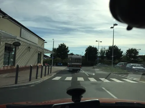
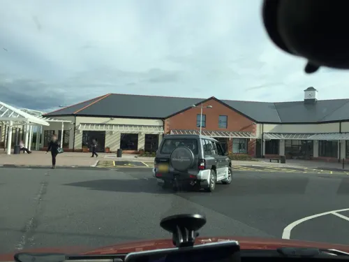
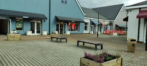
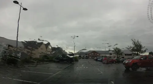
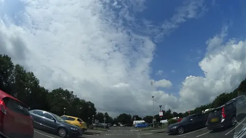
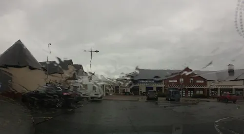





3 more on the map.
Where to stay23
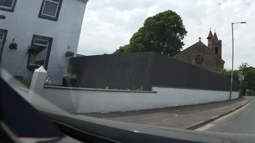

11 more on the map.
History
HM Factory, Gretna, codenamed Moorside, was a cordite munitions factory built between Gretna Green and the Solway Firth to supply ammunition to British forces during the First World War. This developed into the town of Gretna.
Gretna was bombed on 7 April 1941 by an aircraft that had earlier taken part in a raid near Glasgow. Twenty-eight people were killed.
From the History section of Gretna, Dumfries and Galloway on Wikipedia, under CC BY-SA 4.0.
Churches and places of worship2
Shopping14
Gas and EV charging5
Schools, colleges and libraries2
Map of Gretna
74 places. The map loads OpenStreetMap tiles when you open it.
Getting there and nearby towns
Carlisle Lake District Airport (CAX) is the nearest airport with scheduled flights listed in OpenStreetMap, 11 miles away.
- Longtown 4 mi east, about 7 min by car
- Burgh by Sands 5 mi south, about 8 min by car
- Carlisle 8 mi southeast, about 14 min by car
- Scotby 10 mi southeast, about 17 min by car
- Langholm 11 mi north, about 18 min by car
- Dalston 11 mi south, about 18 min by car
- Wetheral 12 mi southeast, about 19 min by car
- Great Corby 12 mi southeast, about 20 min by car
- Brampton 14 mi east, about 22 min by car
- Lockerbie 15 mi northwest, about 23 min by car
Drive times are estimates from straight-line distance, not routes.
Towns near Gretna


Keep exploring
Local news
Headlines from INDB.
Reviews, tips and questions
Loading what members have shared...
Sources and licences
- GeoNames (CC BY 4.0): population, coordinates, regions and time zone
- Mapillary (see each image): photos
- OpenStreetMap contributors (ODbL 1.0): places, airports, map data
- Wikidata (CC0 1.0): elevation, founding date, time zone, website, landmarks and historic places
- Wikimedia Commons (see each image): photos
- Wikipedia (CC BY-SA 4.0): overview and history text
Photo credits
- Gretna Cinema and Shops, The Devil's Porridge Museum, CC BY 2.0
- NCN Millennium Milepost MP355 Gretna, John M, CC BY-SA 2.0
- Street-level photo, southglos, CC BY-SA 4.0
- Street-level photo, mackerski, CC BY-SA 4.0
- Street-level photo, panieravide, CC BY-SA 4.0
- Street-level photo, southglos, CC BY-SA 4.0
- Street-level photo, southglos, CC BY-SA 4.0
- Street-level photo, southglos, CC BY-SA 4.0
- Street-level photo, southglos, CC BY-SA 4.0
- Street-level photo, southglos, CC BY-SA 4.0
- Street-level photo, southglos, CC BY-SA 4.0
- Street-level photo, southglos, CC BY-SA 4.0
- Street-level photo, southglos, CC BY-SA 4.0
- Street-level photo, jethro10, CC BY-SA 4.0
- Street-level photo, mackerski, CC BY-SA 4.0
- Street-level photo, southglos, CC BY-SA 4.0
- Street-level photo, southglos, CC BY-SA 4.0
- Street-level photo, hobgoblin, CC BY-SA 4.0
- Street-level photo, panieravide, CC BY-SA 4.0
- Street-level photo, panieravide, CC BY-SA 4.0
- Street-level photo, hobgoblin, CC BY-SA 4.0
Page built November 10, 2026. Spotted a mistake? Tell us or suggest a place.