


Why visit Dalston
Townapedia lists 1 museum or landmark, 1 park or trail, 6 places to eat and 4 places to stay in and around town.
Weather in Dalston
Forecast from MET Norway (CC BY 4.0). Full forecast
About Dalston
Dalston is a large village and civil parish in the Cumberland district, in Cumbria, England, on the B5299 road 4 miles (6 km) south-west of Carlisle. In 2021 the parish had a population of 2,796.
From the Wikipedia article Dalston, Cumbria (this version), under CC BY-SA 4.0.
Museums and landmarks1
Parks, trails and playgrounds1

Restaurants and cafes6




Where to stay4


Notable people from Dalston
 Ernest WalbournBritish landscape painter (1872-1927)Photo: Ernest Walbour (1872–1927), Public domain
- Georgiana HarcourtBritish translator (1807–1886)
- George RobinsonEnglish bookseller (1737-1801)
Born in Dalston, according to Wikidata (CC0). Each name links to its Wikipedia article.
Churches and places of worship2
Shopping3
Schools, colleges and libraries2
Healthcare1
Map of Dalston
20 places. The map loads OpenStreetMap tiles when you open it.
Getting there and nearby towns
Carlisle Lake District Airport (CAX) is the nearest airport with scheduled flights listed in OpenStreetMap, 10 miles away.
- Carlisle 4 mi northeast, about 7 min by car
- Wetheral 7 mi northeast, about 11 min by car
- Penrith 15 mi southeast, about 24 min by car
- Dearham 20 mi southwest, about 33 min by car
- Shap 25 mi southeast, about 40 min by car
- Workington 26 mi southwest, about 42 min by car
- Dumfries 29 mi northwest, about 47 min by car
- Whitehaven 31 mi southwest, about 50 min by car
- Haydon Bridge 31 mi east, about 49 min by car
- Kendal 37 mi south, about 59 min by car
Drive times are estimates from straight-line distance, not routes.
Towns near Dalston


Keep exploring
Local news
Headlines from INDB.
Reviews, tips and questions
Loading what members have shared...
Sources and licences
- GeoNames (CC BY 4.0): population, coordinates, regions and time zone
- Mapillary (see each image): photos
- OpenStreetMap contributors (ODbL 1.0): places, airports, map data
- Wikidata (CC0 1.0): elevation, founding date, time zone, website
- Wikimedia Commons (see each image): photos
- Wikipedia (CC BY-SA 4.0): overview and history text
Photo credits
- Dalston Hall, Anthony Parkes, CC BY-SA 2.0
- St Michael's Church, Dalston, Peter Wood, CC BY-SA 2.0
- Dalston Hall Wedding Venue, Gilchristcollection, CC BY-SA 4.0
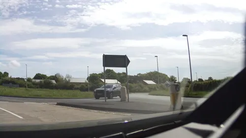
- Street-level photo, southglos, CC BY-SA 4.0
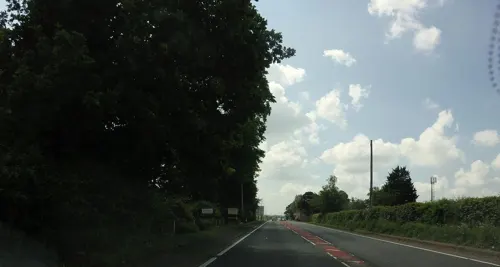
- Street-level photo, hobgoblin, CC BY-SA 4.0
Page built November 10, 2026. Spotted a mistake? Tell us or suggest a place.