


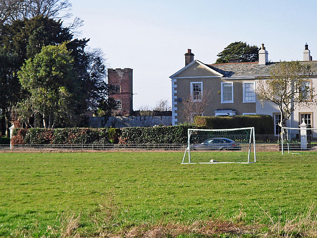

Burgh by Sands, United Kingdom
Burgh by Sands is a town of 1,176 people in England, United Kingdom.
Why visit Burgh by Sands
Townapedia lists 4 museums and landmarks, 3 places to eat and 1 attraction in and around town.
Highlights include Aballava and Milecastle 73 (site of).
Weather in Burgh by Sands
Forecast from MET Norway (CC BY 4.0). Full forecast
About Burgh by Sands
Burgh by Sands is a village and civil parish in the Cumberland unitary authority area of Cumbria, England, situated near the Solway Firth. The parish includes the village of Burgh by Sands along with Longburgh, Dykesfield, Boustead Hill, Moorhouse and Thurstonfield. It is notable as the site of the first recorded North African (Mauri) military unit in Roman Britain, garrisoning the frontier fort of Aballava on Hadrian's Wall in the 3rd century AD. It is also where Edward I of England died in 1307.
From the Wikipedia article Burgh by Sands (this version), under CC BY-SA 4.0.
Things to do1

Museums and landmarks4
Aballava
Monument and historic site
Roman fort in Cumbria, United Kingdom

Restaurants and cafes3



Churches and places of worship5

St Michael's Church, Burgh by Sands
Church
Grade I listed church in Burgh by Sands, Cumberland, Cumbria , England, UK
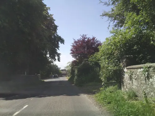

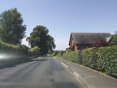

St Peter's Church, Kirkbampton
Church · 2.0 mi
Grade I listed church in Kirkbampton, Cumberland, Cumbria , England, UK
History
The line of Hadrian's Wall runs through the village, and the site once was that of a major Roman fort, Aballava. It is also the death-place of King Edward I of England.
In the 12th century, Burgh by Sands Castle and lands of Burgh by Sands belonged to members of the Feudal barony of Burgh by Sands, among them Ada de Engaine. Her granddaughter's second marriage founded a younger branch of the Moulton family, a branch of which held this castle in the 13th century. In the 14th century the Dacre family inherited it by marriage to the heiress.
King Edward I, while on his way to war against the Scots, died of dysentery on the marshes near Burgh, and his corpse lay in state at the village's 12th-century church until its eventual removal to Westminster Abbey. There is an impressive monument on the marshes erected in 1685 to mark the place where he died. It is 11⁄4 miles NNW of the village, is signposted and can be reached on foot.
From the History section of Burgh by Sands on Wikipedia, under CC BY-SA 4.0.
Schools, colleges and libraries1
Map of Burgh by Sands
14 places. The map loads OpenStreetMap tiles when you open it.
Getting there and nearby towns
Carlisle Lake District Airport (CAX) is the nearest airport with scheduled flights listed in OpenStreetMap, 10 miles away.
- Carlisle 5 mi east, about 8 min by car
- Dalston 6 mi southeast, about 10 min by car
- Wetheral 9 mi east, about 15 min by car
- Penrith 21 mi southeast, about 34 min by car
- Dearham 21 mi southwest, about 34 min by car
- Dumfries 24 mi northwest, about 39 min by car
- Workington 27 mi southwest, about 44 min by car
- Shap 31 mi southeast, about 50 min by car
- Whitehaven 33 mi southwest, about 54 min by car
- Hawick 36 mi north, about 58 min by car
Drive times are estimates from straight-line distance, not routes.
Towns near Burgh by Sands


Keep exploring
Local news
Headlines from INDB.
Reviews, tips and questions
Loading what members have shared...
Sources and licences
- GeoNames (CC BY 4.0): population, coordinates, regions and time zone
- Mapillary (see each image): photos
- OpenStreetMap contributors (ODbL 1.0): places, airports, map data
- Wikidata (CC0 1.0): elevation, founding date, time zone, website, landmarks and historic places
- Wikimedia Commons (see each image): photos
- Wikipedia (CC BY-SA 4.0): overview and history text
Photo credits
- Greyhound Inn, Burgh by Sands, Cumbria, Mertbiol, CC0
- Statue of Edward I, Burgh by Sands, Cumbria, Mertbiol, CC0
- Alwyn House, Burgh by Sands, Cumbria, Mertbiol, CC0
- Midcroft, Burgh by Sands, Cumbria, Mertbiol, CC0
- Watch tower, Burgh by Sands, Rose and Trev Clough, CC BY-SA 2.0
- Merscen, Burgh by Sands, Cumbria, Mertbiol, CC0
- Greyhound Inn, Burgh by Sands, Ian S, CC BY-SA 2.0
- Drover's Rest, Monkhill, Anthony Parkes, CC BY-SA 2.0
- St Michael's church, Burgh by Sands - panoramio, Robert Freeman, CC BY-SA 3.0
- St Mary's Church, Beaumont, David Purchase, CC BY-SA 2.0
- Street-level photo, southglos, CC BY-SA 4.0
- Street-level photo, southglos, CC BY-SA 4.0
- Street-level photo, southglos, CC BY-SA 4.0
Page built November 10, 2026. Spotted a mistake? Tell us or suggest a place.