


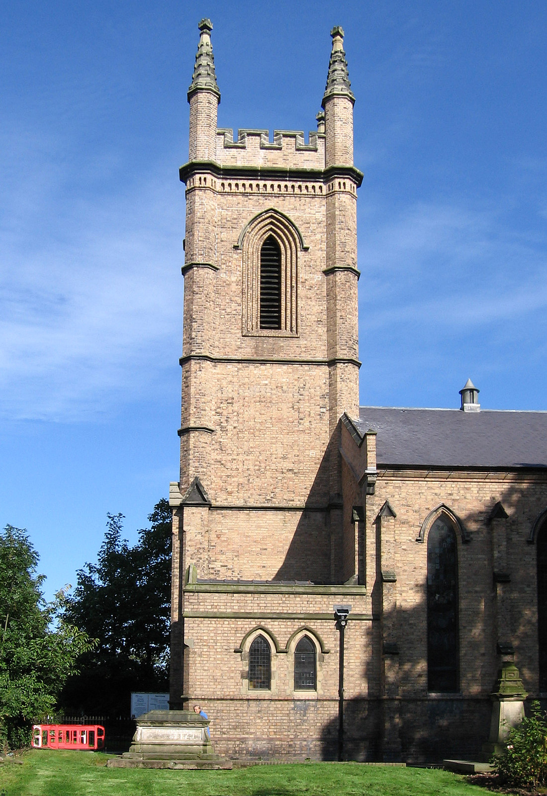

Why visit Hadley
Townapedia lists 14 museums and landmarks, 12 parks and trails, 97 places to eat, 3 places to stay and 3 attractions in and around town.
Highlights include Wellington Orbit, Telford Theatre, Sunnycroft and Wellington Community Art Gallery.
Weather in Hadley
Forecast from MET Norway (CC BY 4.0). Full forecast
About Hadley
Hadley is a village in the civil parish of Hadley and Leegomery in the borough of Telford and Wrekin in Shropshire, England. It neighbours the village of Leegomery.
From the Wikipedia article Hadley, Shropshire (this version), under CC BY-SA 4.0.
Things to do3
Wellington Orbit
Cinema and theater · 1.5 mi
1 Station Road, Telford
Mo 18:00-21:00; Tu-Sa 10:00-21:00; Su 13:00-21:00
Telford Theatre
Cinema and theater · 1.4 mi
Theatre in Oakengates, Telford, England, UK

Museums and landmarks14

Sunnycroft
Museum · 1.4 mi
Historic house museum in Wellington, Shropshire, England, UK
200 Holyhead Road, Telford

Uxacona
Monument and historic site · 3.3 mi
Settlement of the Roman Empire
Blockleys Chimney
Monument and historic site · 0.7 mi
The last remaining Chimney from the historical Blockleys Site, made into a feature for the local area to celebrate the history of Hadley...
2 more on the map.
Parks, trails and playgrounds12
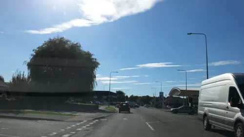



Granville Country Park
Park · 2.6 mi
Nature reserve in Shropshire, England

Restaurants and cafes97
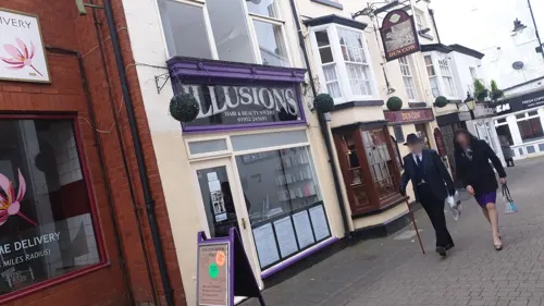
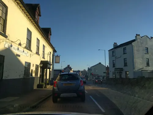
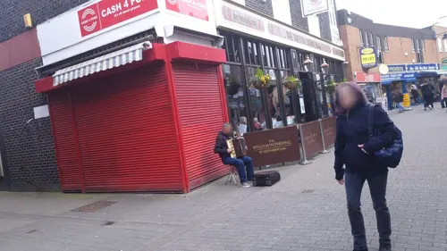
The William Withering
Bar and pub · 1.4 mi
43-45 New Street, Telford
Su-Th 08:00-00:00; Fr,Sa 08:00-01:00



85 more on the map.
Notable people from Hadley
- Jerry DeanEnglish footballer
Born in Hadley, according to Wikidata (CC0). Each name links to its Wikipedia article.
Where to stay3
Churches and places of worship22
Shopping12
Gas and EV charging4
Schools, colleges and libraries23
Healthcare13
Map of Hadley
203 places. The map loads OpenStreetMap tiles when you open it.
Getting there and nearby towns
Birmingham Airport (BHX) is the nearest airport with scheduled flights listed in OpenStreetMap, 35 miles away.
- Wellington 1 mi west, about 2 min by car
- Telford 2 mi southeast, about 3 min by car
- Newport 6 mi northeast, about 10 min by car
- Market Drayton 14 mi north, about 23 min by car
- Wolverhampton 17 mi southeast, about 27 min by car
- Wombourne 17 mi southeast, about 27 min by car
- Kingswinford 19 mi southeast, about 31 min by car
- Stone 20 mi northeast, about 32 min by car
- Dudley 22 mi southeast, about 35 min by car
- Walsall 22 mi east, about 36 min by car
Drive times are estimates from straight-line distance, not routes.
Towns near Hadley


Keep exploring
Local news
Headlines from INDB.
Reviews, tips and questions
Loading what members have shared...
Sources and licences
- GeoNames (CC BY 4.0): population, coordinates, regions and time zone
- Mapillary (see each image): photos
- OpenStreetMap contributors (ODbL 1.0): places, airports, map data
- Wikidata (CC0 1.0): elevation, founding date, time zone, website, landmarks and historic places
- Wikimedia Commons (see each image): photos
- Wikipedia (CC BY-SA 4.0): overview and history text
Photo credits
- Bandstand 2, Mrbic ( talk ) ( Uploads ), CC0
- Sunnycroft Facing Garden, Wehha, CC BY-SA 3.0
- AllSaintsWellington, Nabokov ( talk ). Required citation is: "Photo by Tom Oates, 2009"., CC BY-SA 3.0
- David Hutchinson Stand New Bucks Head, Cls14, CC BY-SA 3.0
- Christ Church, Wellington, Dave Bevis, CC BY-SA 2.0
- St Mary's Church, Ketley, Richard Law, CC BY-SA 2.0
- Rans S-6 Coyote II (G-GWFT) at RIAT Fairford 13July2017 arp, Myself ( Adrian Pingstone )., Public domain
- Street-level photo, trigpoint, CC BY-SA 4.0
- Street-level photo, JackW25, CC BY-SA 4.0
- Street-level photo, ebel, CC BY-SA 4.0
- Street-level photo, edloach, CC BY-SA 4.0
- Street-level photo, edloach, CC BY-SA 4.0
- Street-level photo, edloach, CC BY-SA 4.0
- Street-level photo, adam2, CC BY-SA 4.0
- Street-level photo, JackW25, CC BY-SA 4.0
- Street-level photo, trigpoint, CC BY-SA 4.0
- Street-level photo, adam2, CC BY-SA 4.0
- Street-level photo, adam2, CC BY-SA 4.0
- Street-level photo, trigpoint, CC BY-SA 4.0
- Street-level photo, adam2, CC BY-SA 4.0
- Street-level photo, southglos, CC BY-SA 4.0
- Street-level photo, adam2, CC BY-SA 4.0
- Street-level photo, trigpoint, CC BY-SA 4.0
- Street-level photo, trigpoint, CC BY-SA 4.0
- Street-level photo, edloach, CC BY-SA 4.0
- Street-level photo, edloach, CC BY-SA 4.0
- Street-level photo, edloach, CC BY-SA 4.0
- Street-level photo, edloach, CC BY-SA 4.0
- Street-level photo, edloach, CC BY-SA 4.0
- Street-level photo, edloach, CC BY-SA 4.0
- Street-level photo, edloach, CC BY-SA 4.0

Page built November 10, 2026. Spotted a mistake? Tell us or suggest a place.