
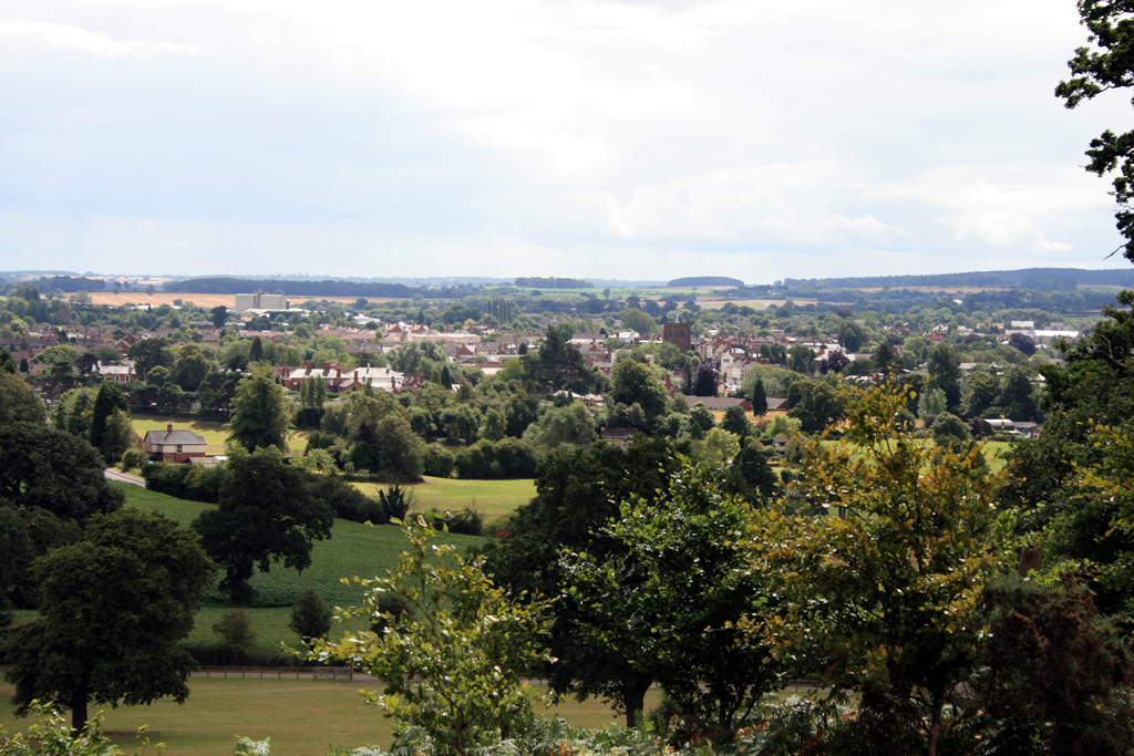


Why visit Newport
Townapedia lists 5 museums and landmarks, 6 parks and trails, 31 places to eat, 1 place to stay and 1 attraction in and around town.
Highlights include Lilleshall Abbey, Sutherland Monument, Chetwynd Deer Park and Aqualate Golf Centre.
Weather in Newport
Forecast from MET Norway (CC BY 4.0). Full forecast
About Newport
Newport is a market town and civil parish in the borough of Telford and Wrekin in Shropshire, England. It lies 7 miles (11 km) north-east of Telford, 12 miles (19 km) west of Stafford, and is near the Shropshire-Staffordshire border. The 2001 census recorded 10,814 people living in the parish, which rose to 11,387 by the 2011 census.
From the Wikipedia article Newport, Shropshire (this version), under CC BY-SA 4.0.
Travel tips from other travellers: Newport on Wikivoyage (CC BY-SA 4.0).
Things to do1

Museums and landmarks5

Lilleshall Abbey
Monument and historic site · 3.0 mi
Monastery in Shropshire, England, UK

Sutherland Monument
Monument and historic site · 2.3 mi
Monument in Lilleshall and Donnington, Telford and Wrekin, Shropshire, England, UK


Parks, trails and playgrounds6


Restaurants and cafes31
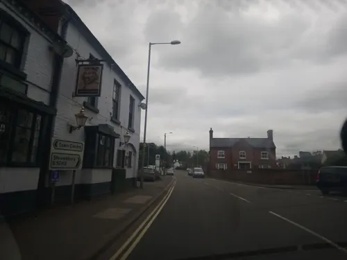
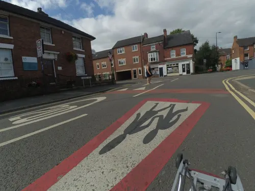
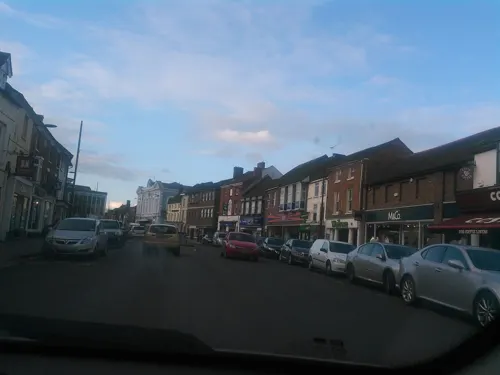
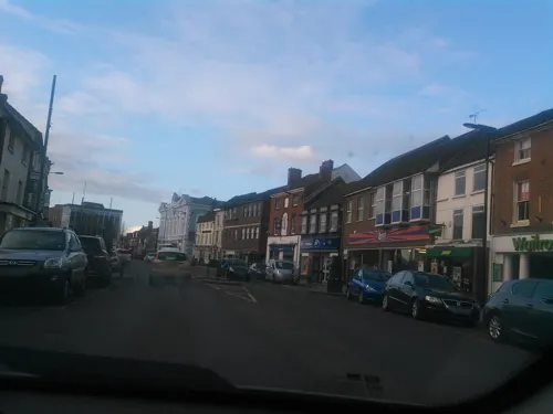
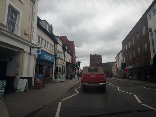
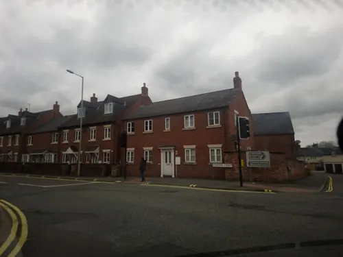
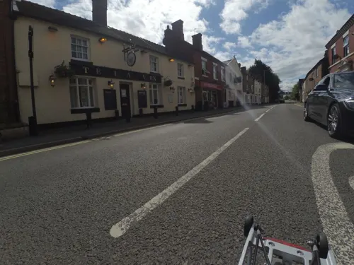
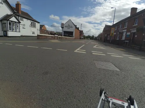

Dragon Soul Cafe
Cafe · 0.6 mi
Forton Road, Newport
Mo-Th 10:00-17:00; Fr,Sa 10:00-22:00; Su 10:00-16:00

19 more on the map.
History
Newport was located in the historic kingdom of Mercia, near where Wreocensæte was once situated. Humans inhabited the surrounding area long before the creation of the town. Once established, Newport became a market town in the centre of the rural farming area between Stafford and Shrewsbury.
In Saxon times, there were two settlements in the area. The first, Eastun, has been identified as Church Aston, and the second was Plaesc which is now Newport. In AD 963, Plaesc was described as having a High Street, a stone quarry, and a religious community. The name Plaesc means a shallow pool. Few signs of the Saxon settlement exist today, apart from the High Street, the Quarry, which could be either the Quarry on Stafford Road, or the Hole Meadow on Wellington Road. This has not been definitely confirmed.
At the time of the Norman Conquest, the land where Newport sits formed part of the manor of Edgmond, which William I gave as a gift along with the county of Shropshire to Roger, Earl of Shrewsbury. Henry I founded the borough, first called Newborough, after the manor came into his hands from Robert de Belesme.
Newport was omitted from the Domesday Book of 1086, but this is not uncommon. Other towns omitted include London, Tamworth and Ludlow, all boroughs since Saxon times.
Read more of the history
The Normans planned the new town around the older one during the reign of Henry I. The wide main street was designed for its market, and the narrow burgage plots running at right angles to it are typical of Norman architecture and planning, though today only Newport Guildhall and Smallwood Lodge are clear signs of Tudor buildings, due to the 1665 fire which destroyed most of the High Street.
Medieval Newport flourished with trade in leather, wool and fish. Novoportans possessed the right to provide fish for the Royal table. The many half-timbered buildings surviving from the late medieval and Tudor periods confirm Newport's success, leading to the first market charter which was granted by Henry I.
The town is mentioned once by John Leland in a list of castles, though now no visible remains of the castle exist; however, the most probable location for it would have been the traditional site of a manor house at Upper Bar, where there is a fragment of a square, broad moat, or on the higher ground along the Forton road, where the Castle House school stands. As regards the moat, nearly square, forming by measurement an area of 60 square yards, two sides have been filled with rubbish. Nothing is known about the occupants of the moated site. It could have pre-dated the town or, perhaps more likely, could have been the manor house of the Audleys, who were granted the manor in 1227. By 1421, the manor house was in ruins.
One of the main reasons for Newport's early wealth was the surrounding fisheries and the chief service of the burgesses, being that of taking fish to the Royal court wherever it might be. This custom was continued after Henry III had granted the borough, with the manor of Edgmond, to Henry de Audley; Henry's son James granted in the middle of the 13th century that the burgesses need not take the fish anywhere except within the county of Shropshire.
The burgesses received certain privileges from Henry I; Henry II, in an undated charter, granted them all the liberties, rights and customs that they had enjoyed in the time of Henry I, including a guild merchant, which is mentioned in the quo warranto rolls as one of the privileges claimed by the burgesses. Confirmation charters were granted by Edward I in 1287 and Edward II in 1311, while the town was incorporated in 1551 by Edward VI, whose charter was confirmed by James I in 1604. The governing body consisted of a Lord High Steward, deputy steward, two water-bailiffs and 28 burgesses, but the corporation was abolished by the Municipal Corporations Act 1883, and a local board was formed, which, under the Local Government Act 1894, gave place to an urban district council.
In 1665, many buildings were damaged in the Great Fire of Newport, which started in the home of a local blacksmith and destroyed the homes of 162 families (without causing deaths) to the then-value of £30,000 (£5.6M in 2025) and only a few of the medieval structures remain. However, there remain many fine Regency and Georgian frontages built on the site of the former Norman plots. This allowed the main streets of Newport to be wider and less cluttered than those of the other towns of its age.
By the 19th century, Newport was surrounded by large estates that came right to the verge of the town, determining size and development. The vivary and open fields at Norbroom had gone making the town dependent on its rural hinterland. The few fields that remained were for hay or cattle, forming a small green belt. These estates exerted a powerful influence on the town, something obvious in the deference shown and respect paid to these landed families until at least the First World War.
Beginning in the southwest of the town was the largest estate, the Lilleshall estate of the Duke of Sutherland. This dates from the dissolution of the monasteries, the lands of Lilleshall Abbey being purchased in 1539 by James Leveson of Wolverhampton.
The next estate was that in the south-east of Woodcote Hall, a smaller one belonging to the Cotes family.
On the west between Lilleshall and the town was the Longford Estate of the Talbots, Earls of Shrewsbury, sold in 1789 to Ralph Leeke of Wellington who had made his fortune in the East India Company.
North of the town is the Chetwynd Park estate of the Pigotts, bought in 1803 by Thomas Borrow of north Derbyshire who changed his surname to Burton Borough.
The Aqualate Estate to the east lies mostly in Staffordshire.
From the History section of Newport, Shropshire on Wikipedia, under CC BY-SA 4.0.
More about Newport
Economy
Newport is the main hub for the farming community along the Shropshire/Staffordshire border and as a local business centre. The Football Association, Medical and Exercise Science Department is based at Lilleshall Hall on the outskirts of the town.
A large section of Newport's economy is based around education, two selective state schools and a large comprehensive drawing students from far beyond the town, as well as a university on the edge of the town along with a regional food academy.
Retail plays a major part of the economy of the town, with the majority of shops being located in and around the High Street, with larger out-of-town stores located on the Audley Avenue and Springfield trading estates in the south of the town and to the east of the town the Mere Park complex.
Arts and culture
The Newport Guildhall is a medieval timber-framed building which dates back to around 1400.
The town hosts many events throughout the year, but six main events bring people to Newport. Newport Show is hosted yearly at Chetwynd Deer Park and is the major annual event in the town, first held in Victoria Park in 1890 and now attracting 13,000 visitors each year. The show is now held at Chetwynd Deer Park between Edgmond and Newport.
In the centre of town itself the main events are the Newport Carnival and the Newport Old Tyme Market. The biggest event in the town is the biennial Newport Nocturne Bike Race.
In 2009 Newport became the first town in the country to win six gold awards in a row in the Heart of England in Bloom
regional competition of the Britain in Bloom contest. The 2010 competition gave Newport its seventh consecutive gold medal.
Education
Newport has a full range of educational establishments, from primary schools to a university. All schools in the town have GCSE results above national averages, including the comprehensive school Burton Borough School which in recent years has undergone rapid improvement, leading it to achieve GCSE English results above national averages. There are also two selective schools with similar reputations of Newport Girls' High School and Haberdashers' Adams. Harper Adams University is located in the nearby village of Edgmond, and Keele University operates teaching rooms in the doctor's surgery for trainee student doctors. For Further Education students, the closest colleges to the town are Telford College of Arts and Technology and Stafford College, with buses running from the town to both colleges and to Shrewsbury College of Arts & Technology. Just outside the town is Edgmond Hall, used by Sandwell Metropolitan Borough Council for outdoor activities for school students.
From the Wikipedia article Newport, Shropshire, under CC BY-SA 4.0.
Notable people from Newport
 Peter BottomleyBritish politician (born 1944)Photo: Richard Townshend, CC BY 3.0
- James QuibellBritish egyptologist (1867–1935)
- Percy John HeawoodBritish mathematician (1861–1955)
- Reuben JonesOlympic equestrian (1932-1990)
- John EarpEnglish footballer (1860-?)
- Callum BurtonEnglish association football player (born 1996)
- Peter ButlerBritish politician (born 1951)
- Herbert Elliottcricketer (1887-1973)
- Nicholas BudgenBritish politician (1937-1998)
- Edward Heawoodlibrarian of the Royal Geographical Society
Born in Newport, according to Wikidata (CC0). Each name links to its Wikipedia article.
Where to stay1
Churches and places of worship10
St Peter and St Paul's Roman Catholic Church
Church · Roman Catholic
Shopping3
Gas and EV charging2
Schools, colleges and libraries13
St Peter's Church of England Controlled Primary School and Nursery
School · Anglican · 1.5 mi
Stackyard Lane, Newport
Healthcare1
Map of Newport
73 places. The map loads OpenStreetMap tiles when you open it.
Getting there and nearby towns
Birmingham Airport (BHX) is the nearest airport with scheduled flights listed in OpenStreetMap, 34 miles away.
- Telford 7 mi southwest, about 11 min by car
- Wellington 7 mi southwest, about 12 min by car
- Stone 13 mi northeast, about 22 min by car
- Wolverhampton 16 mi southeast, about 26 min by car
- Newcastle under Lyme 17 mi north, about 28 min by car
- Stoke-on-Trent 18 mi northeast, about 29 min by car
- Rugeley 18 mi east, about 30 min by car
- Wombourne 18 mi southeast, about 29 min by car
- Walsall 21 mi southeast, about 33 min by car
- Dudley 22 mi southeast, about 36 min by car
Drive times are estimates from straight-line distance, not routes.
Towns near Newport


Keep exploring
Local news
Headlines from INDB.
Reviews, tips and questions
Loading what members have shared...
Sources and licences
- GeoNames (CC BY 4.0): population, coordinates, regions and time zone
- Mapillary (see each image): photos
- OpenStreetMap contributors (ODbL 1.0): places, airports, map data
- Wikidata (CC0 1.0): elevation, founding date, time zone, website, landmarks and historic places
- Wikimedia Commons (see each image): photos
- Wikipedia (CC BY-SA 4.0): overview and history text
Photo credits
- Newport from cheeny hill, Novacool88 ( talk ), CC BY-SA 3.0
- Smallwood Lodge, Newport, P L Chadwick, CC BY-SA 2.0
- 10 High Street, Newport, Richard Croft, CC BY-SA 2.0
- Sutherland Monument Lilleshall Panorama, Mariegriffiths, CC BY-SA 4.0
- Newportstpeterschurc, Novacool88 ( talk ), Public domain
- Burton borough, Novacool88, Public domain
- Newport girls high, Bnustudent, Public domain
- The Puleston Cross, Newport, Shropshire, DeVerdon, CC BY-SA 4.0
- St Andrew's Church at Church Aston, Gammock, CC BY-SA 4.0
- Lilleshall Abbey 2, Admiralgary, CC BY-SA 4.0
- Street-level photo, trigpoint, CC BY-SA 4.0
- Street-level photo, trigpoint, CC BY-SA 4.0
- Street-level photo, trigpoint, CC BY-SA 4.0
- Street-level photo, gness, CC BY-SA 4.0
- Street-level photo, gness, CC BY-SA 4.0
- Street-level photo, trigpoint, CC BY-SA 4.0
- Street-level photo, gness, CC BY-SA 4.0
- Street-level photo, trigpoint, CC BY-SA 4.0
- Street-level photo, trigpoint, CC BY-SA 4.0
- Street-level photo, trigpoint, CC BY-SA 4.0
- Street-level photo, trigpoint, CC BY-SA 4.0
- Street-level photo, adam2, CC BY-SA 4.0
- Street-level photo, tallguy, CC BY-SA 4.0
- Street-level photo, gness, CC BY-SA 4.0
- Street-level photo, gness, CC BY-SA 4.0
- Street-level photo, trigpoint, CC BY-SA 4.0
- Street-level photo, gness, CC BY-SA 4.0
- Street-level photo, trigpoint, CC BY-SA 4.0
- Street-level photo, trigpoint, CC BY-SA 4.0
- Street-level photo, trigpoint, CC BY-SA 4.0
- Street-level photo, gness, CC BY-SA 4.0
- Street-level photo, trigpoint, CC BY-SA 4.0
- Street-level photo, trigpoint, CC BY-SA 4.0


Page built November 10, 2026. Spotted a mistake? Tell us or suggest a place.