


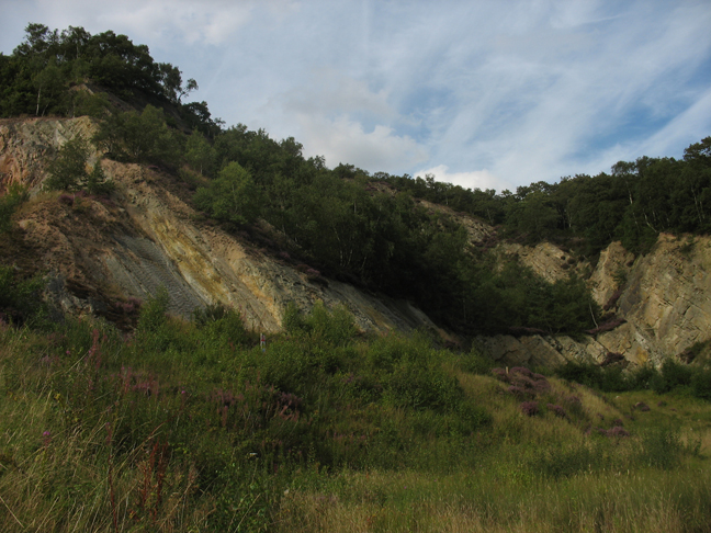
Wellington, United Kingdom
Wellington is a town of 22,816 people in England, United Kingdom.
Why visit Wellington
Townapedia lists 4 museums and landmarks, 15 parks and trails, 73 places to eat, 6 places to stay and 4 attractions in and around town.
Highlights include Wellington Orbit, Telford Theatre, Sunnycroft and Wellington Community Art Gallery.
Weather in Wellington
Forecast from MET Norway (CC BY 4.0). Full forecast
About Wellington
Wellington is a market town and a civil parish in the borough of Telford and Wrekin, Shropshire, England. It is situated 3 miles (4.8 km) north-west of Telford and 12 miles (19 km) east of Shrewsbury, near the western terminus of the M54 motorway. The summit of The Wrekin lies 3 miles to the south-west. Wellington’s population was 25,554 in the 2011 census.
From the Wikipedia article Wellington, Shropshire (this version), under CC BY-SA 4.0.
Travel tips from other travellers: Wellington on Wikivoyage (CC BY-SA 4.0).
Things to do4
Wellington Orbit
Cinema and theater
1 Station Road, Telford
Mo 18:00-21:00; Tu-Sa 10:00-21:00; Su 13:00-21:00
Telford Theatre
Cinema and theater · 2.8 mi
Theatre in Oakengates, Telford, England, UK


Museums and landmarks4

Sunnycroft
Museum
Historic house museum in Wellington, Shropshire, England, UK
200 Holyhead Road, Telford

Telford Historic Building Plaque: The Cock Hotel
Monument and historic site · 0.5 mi
Parks, trails and playgrounds15




3 more on the map.
Restaurants and cafes73
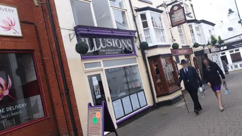
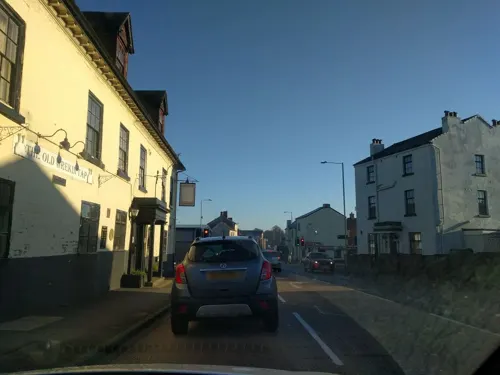
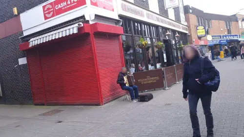
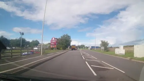



61 more on the map.
History
A church has stood for almost 1,000 years and a priest is mentioned in the Domesday Book. The original churchyard still remains. All Saints Church was designed by George Steuart and was built in 1789.
Wellington's first market charter was granted to Giles of Erdington, lord of the manor, in 1244 and a market still exists today. The market had an open-sided market hall by 1680, and possibly much earlier, but it was dismantled in about 1805. In 1841 a market company was formed to purchase the market rights from Lord Forester in 1856. In 1848, the company built a town hall with the butter market below, creating a permanent covered space for traders.
The first Shropshire Olympian Games, organised by celebrated Olympic revivalist Dr William Penny Brookes, were held in Wellington in May 1861. In August 1868, the town hosted the third National Olympian Games, organised by the National Olympian Association co-founded by Brookes, when their intended venue at Manchester had become unavailable.
To the north-east of the town is the site of Apley Castle, originally a 14th-century fortified manor house; the remains were converted into a stable block with the building of a grand Georgian house, which was itself demolished in 1955. The surviving stable block has been converted into apartments and retains some medieval features.
Read more of the history
Dawley New Town was designated by the government in 1963 and was expanded to encompass Wellington in 1968; it was given the new name of Telford, after the great engineer and first county surveyor of Shropshire, Thomas Telford. The creation of Telford has divided opinion in Wellington ever since, with some celebrating the jobs and investment it brought to the area and others bemoaning the negative impact on Wellington's own economy; as well as its status and sense of identity. The development of Telford Town Centre and local retail parks since the 1970s had an adverse effect on Wellington's retail centre. The local football team's name was changed from Wellington Town to Telford United in 1969.
For many years, local politics left Wellington in conflict with Wrekin District (now Telford and Wrekin Council), with claims and counterclaims of neglect. In the 21st century, however, the borough council has invested heavily in the town. These investments include the redeveloped Wellington Civic and Leisure Centre, near the centre of the town, which has brought together the library, town council, swimming pool and gym, along with a modern register office. Two hundred borough council officers are also located at the new complex.
From the History section of Wellington, Shropshire on Wikipedia, under CC BY-SA 4.0.
More about Wellington
Arts and culture
The Wrekin, one of Shropshire's most famous landmarks, is the most northern part of the Shropshire Hills Area of Outstanding Natural Beauty. Located just 2.5 miles (4.0 km) from the centre of Wellington, it attracts tens of thousands of walkers and cyclists to the town every year.
Located in the town's Victorian market hall, Wellington Market operates four days a week and houses over 50 stalls.
A short walk from the centre of the town is Sunnycroft, a Victorian villa and mini-estate now owned and run by the National Trust.
The town is home to the Belfrey Theatre, an amateur venue run by the Wellington Theatre Company, which offers an annual season of plays and other shows.
Education
Wellington is the main education centre for the borough. Telford College and the independent school Wrekin College are located around the outskirts of the town, along with several primary and secondary schools.
The Princess Royal Hospital, one of Shropshire's two main hospitals, is located just outside the town at Apley, as is the Severn Hospice. Within the town, Wellington Health Centre is the main GP practice.
The former cottage hospital was endowed in 1910 by Ann Bowring, in memory of her husband John, a successful fish merchant and railway entrepreneur. The hospital, which opened on the Haygate Road in 1913, was used as a military auxiliary hospital during World War I. Threatened with closure in 1919, it was saved by local fundraising and continued to serve as a local hospital and later a care home, under the regional Health Board.
From the Wikipedia article Wellington, Shropshire, under CC BY-SA 4.0.
Notable people from Wellington
 Paul BlackthorneBritish actorPhoto: David Elliott, CC BY-SA 4.0
 Thomas Campbell EytonEnglish naturalist and ornithologist (1809–1880)Photo: Unknown author Unknown author, Public domain
 Walter CorbettEnglish footballer (1880–1960)Photo: Unknown author Unknown author, Public domain
 Stewart LeeEnglish stand-up comedian, writer, director and musicianPhoto: Raph_PH, CC BY 2.0
 Anna RichardsonEnglish presenter, television producer, writer and journalistPhoto: Garry Knight, CC BY-SA 2.0
 Steve BeresfordEnglish musicianPhoto: Richard Kaby, CC BY 2.0
 Jeremy NicholasEnglish actor, writer, broadcaster, lyricist and musicianPhoto: Jack1956, CC0
- William WitheringEnglish scientist (1741-1799)
- Harry HamptonEngland footballer (1885-1963)
- Thomas NichollsEnglish boxer (1931-2021)
- Hesba StrettonBritish writer (1832–1911)
- Nigel RogersBritish classical singer (1935–2022)
Born in Wellington, according to Wikidata (CC0). Each name links to its Wikipedia article.
Where to stay6
Churches and places of worship12
Shopping15
Gas and EV charging4
Schools, colleges and libraries16
Healthcare13
Map of Wellington
162 places. The map loads OpenStreetMap tiles when you open it.
Getting there and nearby towns
Birmingham Airport (BHX) is the nearest airport with scheduled flights listed in OpenStreetMap, 37 miles away.
- Telford 3 mi southeast, about 5 min by car
- Wolverhampton 18 mi southeast, about 29 min by car
- Wombourne 18 mi southeast, about 29 min by car
- Whitchurch 20 mi north, about 32 min by car
- Dudley 23 mi southeast, about 37 min by car
- Wednesbury 23 mi southeast, about 37 min by car
- Walsall 24 mi east, about 38 min by car
- Newcastle under Lyme 24 mi northeast, about 38 min by car
- Stoke-on-Trent 25 mi northeast, about 40 min by car
- West Bromwich 25 mi southeast, about 41 min by car
Drive times are estimates from straight-line distance, not routes.
Towns near Wellington


Keep exploring
Local news
Headlines from INDB.
Reviews, tips and questions
Loading what members have shared...
Sources and licences
- GeoNames (CC BY 4.0): population, coordinates, regions and time zone
- Mapillary (see each image): photos
- OpenStreetMap contributors (ODbL 1.0): places, airports, map data
- Wikidata (CC0 1.0): elevation, founding date, time zone, website, landmarks and historic places
- Wikimedia Commons (see each image): photos
- Wikipedia (CC BY-SA 4.0): overview and history text
Photo credits
- WellingtonShropshire2, Nabokov ( talk ). Required citation is: "Photo by Tom Oates, 2009"., CC BY-SA 3.0
- Woolworths - Wellington, Telford - Closed Down - Exterior, Gordon Cragg, CC BY-SA 2.0
- Sunnycroft Facing Garden, Wehha, CC BY-SA 3.0
- AllSaintsWellington, Nabokov ( talk ). Required citation is: "Photo by Tom Oates, 2009"., CC BY-SA 3.0
- David Hutchinson Stand New Bucks Head, Cls14, CC BY-SA 3.0
- ErcallHill, The original uploader was ChrisJB at English Wikipedia ., CC BY 2.5
- Wrekin College, The original uploader was Shropman at English Wikipedia ., CC BY 2.5
- Christ Church, Wellington, Dave Bevis, CC BY-SA 2.0
- Rans S-6 Coyote II (G-GWFT) at RIAT Fairford 13July2017 arp, Myself ( Adrian Pingstone )., Public domain
- Street-level photo, edloach, CC BY-SA 4.0
- Street-level photo, edloach, CC BY-SA 4.0
- Street-level photo, edloach, CC BY-SA 4.0
- Street-level photo, ebel, CC BY-SA 4.0
- Street-level photo, JackW25, CC BY-SA 4.0
- Street-level photo, adam2, CC BY-SA 4.0
- Street-level photo, adam2, CC BY-SA 4.0
- Street-level photo, trigpoint, CC BY-SA 4.0
- Street-level photo, adam2, CC BY-SA 4.0
- Street-level photo, edloach, CC BY-SA 4.0
- Street-level photo, edloach, CC BY-SA 4.0
- Street-level photo, edloach, CC BY-SA 4.0
- Street-level photo, edloach, CC BY-SA 4.0
- Street-level photo, adam2, CC BY-SA 4.0
- Street-level photo, trigpoint, CC BY-SA 4.0
- Street-level photo, southglos, CC BY-SA 4.0
- Street-level photo, edloach, CC BY-SA 4.0
- Street-level photo, edloach, CC BY-SA 4.0
- Street-level photo, edloach, CC BY-SA 4.0
- Street-level photo, trigpoint, CC BY-SA 4.0
- Street-level photo, adam2, CC BY-SA 4.0
- Street-level photo, adam2, CC BY-SA 4.0
- Street-level photo, adam2, CC BY-SA 4.0


Page built November 10, 2026. Spotted a mistake? Tell us or suggest a place.