

North Tawton, United Kingdom
North Tawton is a town of 1,630 people in England, United Kingdom.
Why visit North Tawton
Townapedia lists 2 museums and landmarks, 1 park or trail, 7 places to eat and 1 attraction in and around town.
Highlights include North Tawton Roman Fort and Ruth Smith Gallery.
Weather in North Tawton
Forecast from MET Norway (CC BY 4.0). Full forecast
About North Tawton
North Tawton is a small town in Devon, England, situated on the river Taw. It is administered by West Devon Council. The population of the electoral ward at the census 2011 was 2,026.
From the Wikipedia article North Tawton (this version), under CC BY-SA 4.0.
Things to do1

Museums and landmarks2


Parks, trails and playgrounds1

Restaurants and cafes7
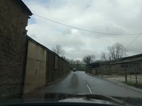



History
Romans crossed the River Taw at what is now Newland Mill, a little outside the present town, and established a succession of military camps there over the years. The Roman fort is believed to have had the name Nemetostatio, meaning "The road-station of the sacred groves", and may have been located on the site of an ancient druidic sanctuary. It covered an area of roughly 600 ft (185m) east-west by 390 ft (120m), and was located adjoining the Roman road between Isca Dumnoniorum (Exeter) and Okehampton. In addition, the site of a temporary marching camp has been identified half a mile to the north.
By the time of the Domesday survey (1086), there were six farm / manor holdings in what is now North Tawton Parish, including that of Tawton which was the forerunner of the town we know today.
St Peter's Church is first recorded in 1257. Only the tower of the present building dates from that time, with the rest being mostly 14th and 15th century. The tower is on the west and is topped by an oak-shingled spire. There are two aisles with granite arcades and a number of old benchends.
North Tawton was already a market town by the end of the 12th century. Agriculture and the woollen industry provided the chief sources of employment for many centuries, but the former has much declined as a source of employment and the latter has gone altogether, the last town woollen mill closing in 1930.
Read more of the history
The railway came to North Tawton in 1865. North Tawton railway station (now closed) lies a mile or two outside the town on the line from Exeter to Okehampton which continued on to Plymouth and Cornwall. It closed to through passenger traffic in 1968, although a shuttle service between Okehampton and Exeter continued until 1972. The latter recommenced in 2021 but with no intermediate stops between Crediton and Okehampton.
Bathe Pool, a grassy hollow near North Tawton, is said to fill with water at times of national crisis.
From the History section of North Tawton on Wikipedia, under CC BY-SA 4.0.
Notable people from North Tawton
 William BuddEnglish physician and epidemiologist (1811–1880)Photo: Unknown author Unknown author, CC BY 4.0
- John HellinsBritish astronomer
- Nicholas HughesBritish-American fisheries biologist
- Norman PiperEnglish footballer (born 1948)
- Henry TozerEnglish Anglican priest, royalist Puritan academic, elected to the Westminster Assembly
Born in North Tawton, according to Wikidata (CC0). Each name links to its Wikipedia article.
Churches and places of worship2
Schools, colleges and libraries1
Healthcare1
Map of North Tawton
15 places. The map loads OpenStreetMap tiles when you open it.
Getting there and nearby towns
Exeter Airport (EXT) is the nearest airport with scheduled flights listed in OpenStreetMap, 22 miles away.
- Winkleigh 4 mi northwest, about 7 min by car
- Chulmleigh 8 mi north, about 13 min by car
- Chagford 9 mi south, about 14 min by car
- Exeter 17 mi east, about 27 min by car
- Princetown 18 mi south, about 29 min by car
- Tiverton 19 mi east, about 31 min by car
- Bideford 20 mi northwest, about 33 min by car
- Tavistock 20 mi southwest, about 33 min by car
- Barnstaple 21 mi north, about 33 min by car
- Newton Abbot 23 mi southeast, about 36 min by car
Drive times are estimates from straight-line distance, not routes.
Towns near North Tawton


Keep exploring
Local news
Headlines from INDB.
Reviews, tips and questions
Loading what members have shared...
Sources and licences
- GeoNames (CC BY 4.0): population, coordinates, regions and time zone
- Mapillary (see each image): photos
- OpenStreetMap contributors (ODbL 1.0): places, airports, map data
- Wikidata (CC0 1.0): elevation, founding date, time zone, website
- Wikimedia Commons (see each image): photos
- Wikipedia (CC BY-SA 4.0): overview and history text
Photo credits
- North Tawton Square, Grant Sherman, CC BY-SA 2.0
- Street-level photo, laye, CC BY-SA 4.0
Page built November 10, 2026. Spotted a mistake? Tell us or suggest a place.