


Winkleigh, United Kingdom
Winkleigh is a town of 1,305 people in England, United Kingdom.
Why visit Winkleigh
Townapedia lists 4 places to eat and 1 place to stay in and around town.
Weather in Winkleigh
Forecast from MET Norway (CC BY 4.0). Full forecast
About Winkleigh
Winkleigh is a civil parish and small village in Devon, England. It is part of the local government area of Torridge District Council. The population of the parish at the 2011 census was 1,305, compared to 1,079 in 1901. The population of the electoral ward in 2011 was 2,068.
From the Wikipedia article Winkleigh (this version), under CC BY-SA 4.0.
Restaurants and cafes4

Where to stay1
Churches and places of worship3

Church of All Saints
Church
Grade I listed church in Winkleigh, Devon, England, UK
Schools, colleges and libraries2

History
During World War II, the RAF Winkleigh Airfield was used by the RNoAF from 1944 as the main training Centre in the UK after Norway shifted from Little Norway in Toronto Canada to re-locate the training facilities to a place nearer to the War theatre. The former RAF base is now the site of the West of England Transport Collection, which stores over 200 cars, lorries and buses of historical interest. It is not normally open to the public.
In 1975 the deaths of three members of the Luxton family at nearby West Chapple Farm, brought media interest to the area. A book Earth to Earth by John Cornwell was published about this murder and suicide case in 1982.
The village was the location of Inch's Cider, producers of White Lightning cider. Inch's Cider was bought by H. P. Bulmer, who then closed the plant down. However some of those involved in the original enterprise now run Winkleigh Cider on the Hatherleigh Road.
Local businesses and organisations include a health centre (a branch of the Wallingbrook Surgery in Chulmleigh), a convenience store, a post office, a butchers shop, a florists, a cafe, a veterinary practice, two public houses, and Winkleigh sports centre. Winkleigh also has a primary school.
From the History section of Winkleigh on Wikipedia, under CC BY-SA 4.0.
Notable people from Winkleigh
- John BrownAustralian politician, 1886-1974
- Godfrey BremridgeBritish flying ace (1895–1941)
Born in Winkleigh, according to Wikidata (CC0). Each name links to its Wikipedia article.
Map of Winkleigh
10 places. The map loads OpenStreetMap tiles when you open it.
Getting there and nearby towns
Exeter Airport (EXT) is the nearest airport with scheduled flights listed in OpenStreetMap, 25 miles away.
- Chulmleigh 5 mi northeast, about 8 min by car
- Chagford 13 mi south, about 21 min by car
- Bideford 16 mi northwest, about 26 min by car
- Barnstaple 16 mi north, about 26 min by car
- Exeter 20 mi southeast, about 33 min by car
- Tiverton 20 mi east, about 32 min by car
- Dulverton 21 mi northeast, about 34 min by car
- Tavistock 23 mi southwest, about 37 min by car
- Ilfracombe 26 mi north, about 41 min by car
- Newton Abbot 27 mi southeast, about 43 min by car
Drive times are estimates from straight-line distance, not routes.
Towns near Winkleigh


Keep exploring
Local news
Headlines from INDB.
Reviews, tips and questions
Loading what members have shared...
Sources and licences
- GeoNames (CC BY 4.0): population, coordinates, regions and time zone
- Mapillary (see each image): photos
- OpenStreetMap contributors (ODbL 1.0): places, airports, map data
- Wikidata (CC0 1.0): elevation, founding date, time zone, website, landmarks and historic places
- Wikimedia Commons (see each image): photos
- Wikipedia (CC BY-SA 4.0): overview and history text
Photo credits
- Winkleigh All Saints rood screen, chancel GeoUK 6996413, John H Darch, CC BY-SA 2.0
- Winkleigh All Saints south aisle eastward GeoUK 3626295, David Smith, CC BY-SA 2.0
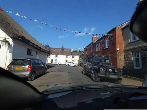
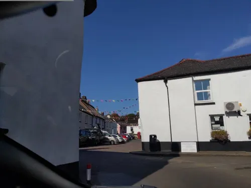
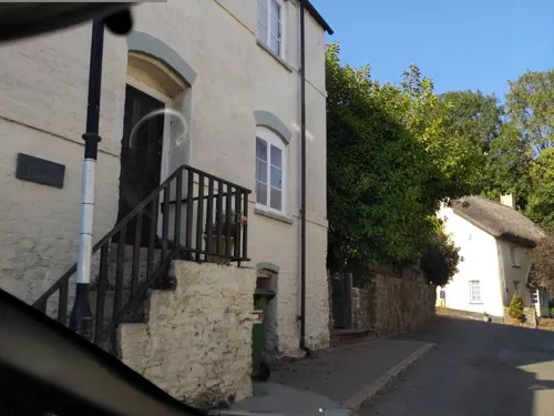
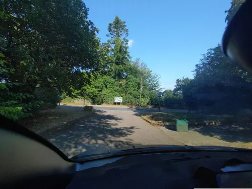
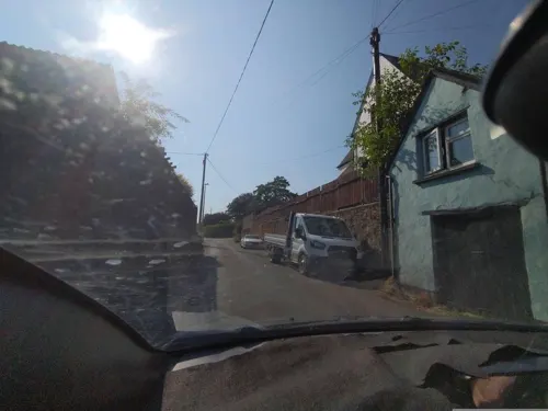
- Street-level photo, WaggyDog, CC BY-SA 4.0
- Street-level photo, WaggyDog, CC BY-SA 4.0
- Street-level photo, WaggyDog, CC BY-SA 4.0
- Street-level photo, WaggyDog, CC BY-SA 4.0
- Street-level photo, WaggyDog, CC BY-SA 4.0
Page built November 10, 2026. Spotted a mistake? Tell us or suggest a place.