
Chulmleigh, United Kingdom
Chulmleigh is a town of 1,017 people in England, United Kingdom.
Why visit Chulmleigh
Townapedia lists 3 museums and landmarks, 2 parks and trails, 8 places to eat, 3 places to stay and 1 attraction in and around town.
Weather in Chulmleigh
Forecast from MET Norway (CC BY 4.0). Full forecast
About Chulmleigh
Chulmleigh is a small Saxon hilltop market town and civil parish in North Devon, in the heart of the English county of Devon. It lies 20 miles (32 km) north west of Exeter, just north of the Mid Devon boundary, linked by the A377 and B3096 roads.
From the Wikipedia article Chulmleigh (this version), under CC BY-SA 4.0.
Things to do1
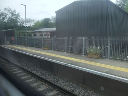
Station Yard Farm Shop
Farm and orchard · 1.7 mi
Tu-Sa 09:00-17:00; Su 10:00-15:00
Museums and landmarks3

Forestry Commission 1919 - First Trees Planted
Monument and historic site · 2.2 mi
Parks, trails and playgrounds2


Restaurants and cafes8



History
The first documentary reference to the place is in the Domesday Book of 1086 where it is recorded as Calmonlevge. The name derives from the Old English personal name Ceolmund and the common place-name element leah which has various meanings including "woodland", "a woodland clearing" and "meadow". At the time of Domesday the land was held by Baldwin the Sheriff from whom it passed to the Courtenay family, who made the settlement a borough in the mid-thirteenth century. Situated on the main road between Exeter and Barnstaple, Chulmleigh thrived during the 17th and 18th centuries; it was a centre of wool production, had a good market and three cattle fairs. The wool trade had ceased by the early 19th century, but the road traffic kept the town prosperous until a new turnpike road bypassed the town in about 1830; the opening in 1854 of the North Devon Railway also contributed to its decline.
From the History section of Chulmleigh on Wikipedia, under CC BY-SA 4.0.
Where to stay3
Churches and places of worship11
Schools, colleges and libraries3
Map of Chulmleigh
31 places. The map loads OpenStreetMap tiles when you open it.
Getting there and nearby towns
Exeter Airport (EXT) is the nearest airport with scheduled flights listed in OpenStreetMap, 24 miles away.
- Barnstaple 14 mi northwest, about 23 min by car
- Bideford 16 mi northwest, about 26 min by car
- Tiverton 16 mi east, about 26 min by car
- Dulverton 16 mi northeast, about 26 min by car
- Exeter 20 mi southeast, about 32 min by car
- Ilfracombe 23 mi northwest, about 37 min by car
- Minehead 26 mi northeast, about 42 min by car
- Tavistock 28 mi southwest, about 45 min by car
- Newton Abbot 29 mi southeast, about 46 min by car
- Exmouth 29 mi southeast, about 46 min by car
Drive times are estimates from straight-line distance, not routes.
Towns near Chulmleigh


Keep exploring
Local news
Headlines from INDB.
Reviews, tips and questions
Loading what members have shared...
Sources and licences
- GeoNames (CC BY 4.0): population, coordinates, regions and time zone
- Mapillary (see each image): photos
- OpenStreetMap contributors (ODbL 1.0): places, airports, map data
- Wikidata (CC0 1.0): elevation, founding date, time zone, website, landmarks and historic places
- Wikipedia (CC BY-SA 4.0): overview and history text
Photo credits
- Street-level photo, WaggyDog, CC BY-SA 4.0
- Street-level photo, WaggyDog, CC BY-SA 4.0
Page built November 10, 2026. Spotted a mistake? Tell us or suggest a place.