


Why visit Hatton
Townapedia lists 9 museums and landmarks, 7 parks and trails, 5 places to eat, 3 places to stay and 3 attractions in and around town.
Highlights include Castle Bridge, Portobello Bridge, Fusilier Museum Warwick and St John's House Museum, Warwick.
Weather in Hatton
Forecast from MET Norway (CC BY 4.0). Full forecast
About Hatton
Hatton is a village and civil parish about 3.5 miles (6 km) west-northwest of Warwick, in the Warwick District of Warwickshire in England. The parish had a population of 1,078 at the 2001 Census, increasing to 2,319 at the 2011 Census. Notable landmarks include Hatton Locks, a series of 21 locks on the Grand Union Canal. The flight spans less than 2 miles (3.2 km) of canal, and has a total rise of 45 metres (148 ft).
From the Wikipedia article Hatton, Warwickshire (this version), under CC BY-SA 4.0.
Photos of Hatton


Things to do3


Portobello Bridge
Bridge · 3.2 mi
Road bridge in Royal Leamington Spa, Warwick, Warwickshire, England, UK

Remains Of Old Castle Bridge
Bridge · 2.5 mi
Bridge in Warwick, Warwick, Warwickshire, England, UK
Museums and landmarks9

Fusilier Museum Warwick
Museum · 2.5 mi
Regimental museum in Warwick, England, United Kingdom

St John's House Museum, Warwick
Museum · 2.5 mi
Museum in Warwickshire, England, UK

Warwick Castle
Museum · 2.4 mi
Medieval castle in Warwickshire, England, UK
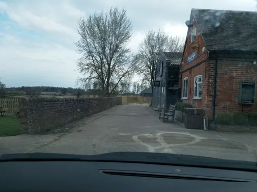


Maintenance Barge
Monument and historic site · 0.7 mi
1940s/50s maintenance craft lifted out of the canal and put on display.
Site of Deserted Medieval Village of Budbrooke
Monument and historic site · 1.1 mi
Parks, trails and playgrounds7


St. Nicholas' Park
Park · 2.6 mi
Park in the centre of the town of Warwick, England
Restaurants and cafes5
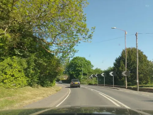
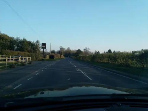
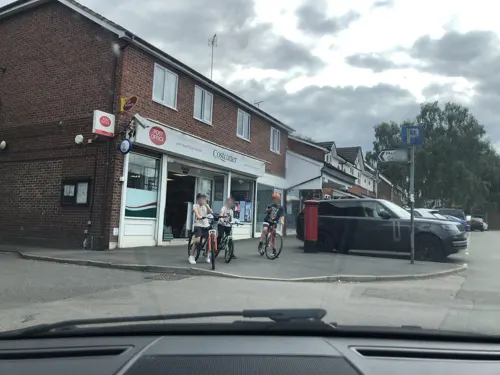
Montgomery of Alamein (The Monty)
Bar and pub · 1.2 mi
Field Barn Road, Hampton Magna
Variable (signposted outside). Closed Mondays
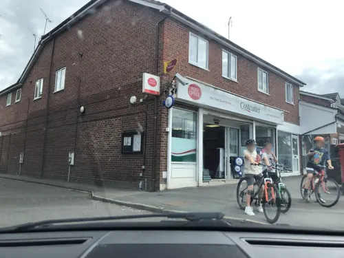

Notable people from Hatton
- David TittertonEnglish footballer (born 1971)
Born in Hatton, according to Wikidata (CC0). Each name links to its Wikipedia article.
Where to stay3
Churches and places of worship8
Gas and EV charging1
Schools, colleges and libraries2
Map of Hatton
38 places. The map loads OpenStreetMap tiles when you open it.
Getting there and nearby towns
Birmingham Airport (BHX) is the nearest airport with scheduled flights listed in OpenStreetMap, 12 miles away.
- Warwick 2 mi southeast, about 4 min by car
- Leek Wootton 3 mi northeast, about 4 min by car
- Kenilworth 4 mi northeast, about 6 min by car
- Royal Leamington Spa 5 mi east, about 8 min by car
- Knowle 7 mi northwest, about 12 min by car
- Hockley Heath 7 mi northwest, about 12 min by car
- Stratford-upon-Avon 8 mi southwest, about 13 min by car
- Wilmcote 8 mi southwest, about 13 min by car
- Coventry 9 mi northeast, about 14 min by car
- Solihull 10 mi northwest, about 16 min by car
Drive times are estimates from straight-line distance, not routes.
Towns near Hatton


Keep exploring
Local news
Headlines from INDB.
Reviews, tips and questions
Loading what members have shared...
Sources and licences
- GeoNames (CC BY 4.0): population, coordinates, regions and time zone
- Mapillary (see each image): photos
- OpenStreetMap contributors (ODbL 1.0): places, airports, map data
- Wikidata (CC0 1.0): elevation, founding date, time zone, website, landmarks and historic places
- Wikimedia Commons (see each image): photos
- Wikipedia (CC BY-SA 4.0): overview and history text
Photo credits
- Old Castle Bridge, Warwick, DeFacto, CC BY-SA 4.0
- St John's museum entrance 2, Fitzsimons, CC BY-SA 3.0
- St John's House Museum, DeFacto, CC BY-SA 4.0
- Warwick Castle May 2016, DeFacto, CC BY-SA 4.0
- St. Mary Immaculate Roman Catholic Church, Warwick, SteveBWalton, CC BY-SA 3.0
- Church of St Leonard, Wroxall, Necrothesp, CC BY-SA 3.0
- Holy Trinity Church -Hatton 19a08, Snowmanradio, CC BY-SA 4.0
- Church Budbrooke, Fitzsimons, CC BY-SA 4.0
- Priory Park, Warwick, Robin Stott, CC BY-SA 2.0
- View from the bench (OpenBenches 9335-2), Anonymous Unknown author, CC BY-SA 4.0
- Long shot of the bench (OpenBenches 9335-1), Anonymous Unknown author, CC BY-SA 4.0
- Close-up of the inscription (OpenBenches 9335), Anonymous Unknown author, CC BY-SA 4.0
- Castle Bridge southern approach, Fitzsimons, CC BY-SA 3.0
- Portobello Bridge north side, Fitzsimons, CC BY-SA 4.0
- Street-level photo, laye, CC BY-SA 4.0
- Street-level photo, laye, CC BY-SA 4.0
- Street-level photo, laye, CC BY-SA 4.0
- Street-level photo, rob, CC BY-SA 4.0
- Street-level photo, laye, CC BY-SA 4.0
- Street-level photo, laye, CC BY-SA 4.0
- Street-level photo, laye, CC BY-SA 4.0
- Street-level photo, laye, CC BY-SA 4.0
- Street-level photo, laye, CC BY-SA 4.0
- Street-level photo, laye, CC BY-SA 4.0
- Street-level photo, laye, CC BY-SA 4.0


Page built November 10, 2026. Spotted a mistake? Tell us or suggest a place.