


Herstmonceux, United Kingdom
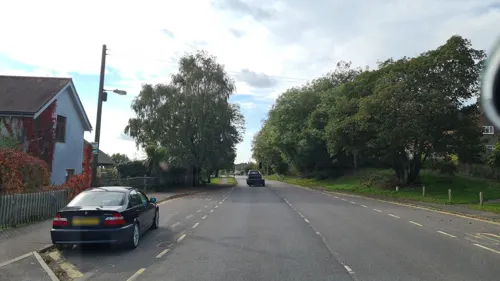
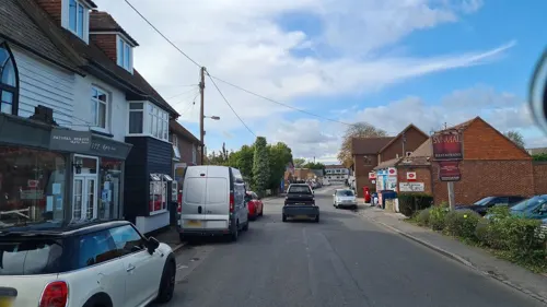
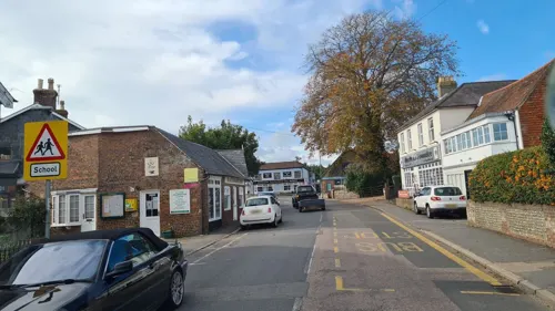
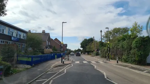
Herstmonceux is a town of 1,130 people in England, United Kingdom.
Why visit Herstmonceux
Townapedia lists 4 museums and landmarks, 5 parks and trails, 10 places to eat, 1 place to stay and 1 attraction in and around town.
Highlights include Blackstock Estate Farm Shop, Remains of Northeye village and Ashburnham Park.
Weather in Herstmonceux
Forecast from MET Norway (CC BY 4.0). Full forecast
About Herstmonceux
Herstmonceux ( HURSS-mən-ZOO, -SOO, or horss-MOWN-seez) is a village and civil parish in the Wealden district of East Sussex, England, which includes Herstmonceux Castle. In 2011 the parish had a population of 2613.
From the Wikipedia article Herstmonceux (this version), under CC BY-SA 4.0.
Travel tips from other travellers: Herstmonceux on Wikivoyage (CC BY-SA 4.0).
Things to do1

Museums and landmarks4

Remains of Northeye village
Monument and historic site · 4.5 mi
Deserted medieval village of Northeye, 885m south-west of Old Road Farm, now historic archaeological site

Parks, trails and playgrounds5

Ashburnham Park
Park · 4.1 mi
Park in Catsfield, Rother, East Sussex, England

Restaurants and cafes10
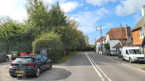
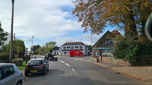
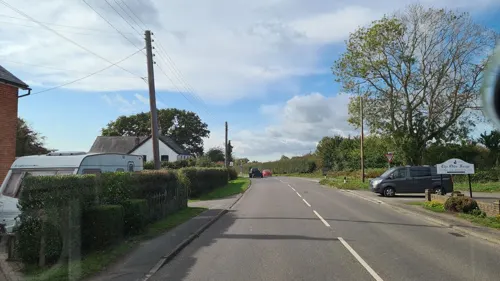


History
The name comes from Anglo-Saxon hyrst, "wooded hill", plus the name of the Monceux family who were lords of the manor in the 12th century. In 1086, the manor, simply called Herste, was in the ancient hundred of Foxearle.
In 1677, Thomas Lennard, 1st Earl of Sussex, was paid £3 when he went to a cricket match played at "ye Dicker", a common near Herstmonceux, one of the earliest references to the sport.
The Herstmonceux area is known for the making of trugs, baskets made from split willow boards set in an ash or chestnut frame. A number of local people continue this tradition.
From the History section of Herstmonceux on Wikipedia, under CC BY-SA 4.0.
More about Herstmonceux
Geography
The village (previously called Gardner Street) is part of the larger Herstmonceux civil parish, which includes Cowbeech and the hamlets of Foul Mile, Trolliloes, Cowbeech Hill, Stunts Green, Ginger's Green, Flowers Green and part of Windmill Hill where the Windmill Hill Windmill is situated. Cowbeech village is north-west of the parish. Eastbourne is 7 miles (11 km) south-west of the village, and Brighton and Hove 21 miles (34 km) south-west.
Herstmonceux Castle, two miles (3.2 km) south-east of the village, is a former site of the Royal Observatory, Greenwich. It is now home to the Bader International Study Centre of Queen's University, Kingston, Canada, and the area therefore enjoys an influx of Canadian and other international students each school year. The castle grounds are also home to the Observatory Science Centre and the Herstmonceux Mediaeval Festival. Buckwell Place was the seat of the Hare family.
There are two Sites of Special Scientific Interest within the parish. Herstmonceux Park is of importance because of its wetland habitat and fen vegetation. It is the only known location of Milk Parsley (Peucedanum palustre) in the south-east. The second site, Pevensey Levels, lies partially in the parish. The site is of biological interest consisting of low-lying grazing meadows, hosting a wide variety of wetland flora and fauna.
From the Wikipedia article Herstmonceux, under CC BY-SA 4.0.
Notable people from Herstmonceux
- Charles LuardBritish army officer, died 1947
- Richard Fiennes, 7th Baron DacreEnglish Baron
Born in Herstmonceux, according to Wikidata (CC0). Each name links to its Wikipedia article.
Where to stay1
Churches and places of worship7
Shopping2
Gas and EV charging1
Schools, colleges and libraries2
Healthcare3
Map of Herstmonceux
36 places. The map loads OpenStreetMap tiles when you open it.
Getting there and nearby towns
Lydd Airport (LYX) is the nearest airport with scheduled flights listed in OpenStreetMap, 27 miles away.
- Hailsham 3 mi southwest, about 5 min by car
- Ninfield 4 mi east, about 7 min by car
- Heathfield 6 mi northwest, about 10 min by car
- Bexhill-on-Sea 7 mi southeast, about 11 min by car
- Eastbourne 9 mi south, about 14 min by car
- Saint Leonards-on-Sea 10 mi east, about 16 min by car
- Hastings 11 mi east, about 18 min by car
- Uckfield 11 mi northwest, about 18 min by car
- Ticehurst 11 mi north, about 18 min by car
- Seaford 13 mi southwest, about 20 min by car
Drive times are estimates from straight-line distance, not routes.
Towns near Herstmonceux


Keep exploring
Local news
Headlines from INDB.
Reviews, tips and questions
Loading what members have shared...
Sources and licences
- GeoNames (CC BY 4.0): population, coordinates, regions and time zone
- Mapillary (see each image): photos
- OpenStreetMap contributors (ODbL 1.0): places, airports, map data
- Wikidata (CC0 1.0): elevation, founding date, time zone, website, landmarks and historic places
- Wikimedia Commons (see each image): photos
- Wikipedia (CC BY-SA 4.0): overview and history text
Photo credits
- Northeye, Pevensey Levels (aerial), Alexis Markwick, CC BY-SA 4.0
- St Wilfrid's RC Church, South Road, Hailsham (September 2016) (1955 and 2015 buildings), Hassocks5489, CC0
- Zoar Strict Baptist Chapel, Lower Dicker, The Voice of Hassocks, CC0
- Herstmonceux Castle with moat, Michael Coppins, CC BY-SA 4.0
- Street-level photo, andreste96, CC BY-SA 4.0
- Street-level photo, andreste96, CC BY-SA 4.0
- Street-level photo, andreste96, CC BY-SA 4.0
- Street-level photo, andreste96, CC BY-SA 4.0
- Street-level photo, andreste96, CC BY-SA 4.0
- Street-level photo, andreste96, CC BY-SA 4.0
- Street-level photo, andreste96, CC BY-SA 4.0
- Street-level photo, andreste96, CC BY-SA 4.0
- Street-level photo, andreste96, CC BY-SA 4.0
Page built November 10, 2026. Spotted a mistake? Tell us or suggest a place.