


Why visit Hoole
Townapedia lists 43 museums and landmarks, 54 parks and trails, 292 places to eat, 46 places to stay and 15 attractions in and around town.
Highlights include Bridge of Sighs, Bridgegate, Grosvenor Museum and Cheshire Military Museum.
Weather in Hoole
Forecast from MET Norway (CC BY 4.0). Full forecast
About Hoole
Hoole is a suburban area to the east of the city of Chester, in Cheshire West and Chester, Cheshire, England. It lies immediately outside the historic city boundary and is contiguous with Newton to the north and Vicars Cross to the south. The suburb is bounded to the east by the A41 road, beyond which lies the separate civil parish of Hoole Village.
From the Wikipedia article Hoole (this version), under CC BY-SA 4.0.
Photos of Hoole

Things to do15


Chester Storyhouse
Cinema and theater · 0.8 mi
Arts centre (theatre, cinema, library) in Chester, England, incorporating the former Odeon Cinema

Chester Zoo
Zoo and aquarium · 1.9 mi
Zoological garden at Upton-by-Chester, in Cheshire, England

Grosvenor Bridge
Bridge · 1.4 mi
Grade I listed bridge in Chester, England

Newgate, Chester
Bridge · 0.9 mi
Grade II listed gateway in Chester, UK

Old Dee Bridge
Bridge · 1.1 mi
Grade I listed bridge in Chester, England

Watergate, Chester
Bridge · 1.1 mi
City gate and bridge in Chester, England


Gateway Theatre
Cinema and theater · 0.9 mi
Former theatre in Chester, England
Grosvenor Park Open Air Theatre
Cinema and theater · 0.7 mi
Open-air theatre in Chester, England
3 more on the map.
Museums and landmarks43
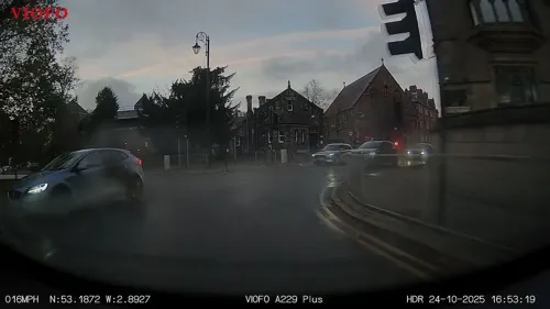
Grosvenor Museum
Museum · 1.1 mi
Natural history museum in Chester, UK
27 Grosvenor Street, Chester
Tu-Sa 10:30-17:00; Su 13:00-16:00; Mo off; PH 10:30-17:00


Northgate
Monument and historic site · 0.8 mi
Bridge and city gate in Chester, England


Chester Roman Amphitheatre
Monument and historic site · 0.8 mi
Roman amphitheatre in Chester, Cheshire, England, UK

Heronbridge Roman Site
Monument and historic site · 2.3 mi
Archaeological site in Eaton and Eccleston, Cheshire West and Chester, England, UK


Minerva's Shrine, Chester
Monument and historic site · 1.2 mi
Grade I listed Roman carved shrine in Chester, United Kingdom

Cenotaph to Matthew Henry
Monument and historic site · 1.1 mi
Grade II listed memorial in Chester, UK
Chester War Memorial
Monument and historic site · 0.8 mi
War memorial in Chester, UK

31 more on the map.
Parks, trails and playgrounds54



Countess of Chester Country Park
Park · 1.2 mi
Country park in Upton, Cheshire, England

42 more on the map.
Restaurants and cafes292
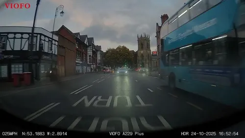
Moules a go-go
Restaurant · Bistro · 1.0 mi
Independant Bar & Bistro
6-12 Cuppin Street, Chester
Mo-Su 09:00-23:00
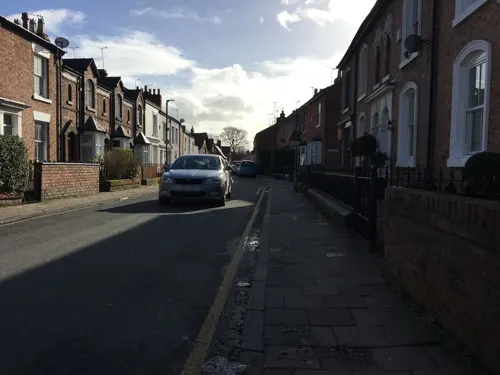
Little Yellow Pig
Cafe · Breakfast, Brunch
31 Westminster Road, Chester
Mo-Sa 09:00-17:00; Su 10:00-15:00
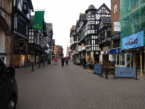
Little Yellow Pig
Cafe · Breakfast · 0.8 mi
5 Godstall Lane, Chester
Mo-Sa 09:00-17:00; Su 10:00-15:00
The Ivy
Restaurant · British · 0.9 mi
32-36 Newgate Street, Chester
Mo-We 08:30-24:00; Th-Fr 08:30-24:30; Sa 09:00-24:30; Su 09:00-23:00


Brook Street Cafe & Bistro
Cafe · British, Breakfast, Sandwich, Burger · 0.5 mi
71 Brook Street, Chester
Mo-Su 08:00-16:30
Istanbul BBQ
Restaurant · Turkish · 0.5 mi
85 Brook Street, Chester
Mo-Th 16:00-22:30, Fr-Su 11:30-22:30
Tansishq
Restaurant · Indian · 0.6 mi
1 Coniston Road, Chester
PH, Mo-Th 17:30-22:30; Fr-Sa 17:00-23:00, Su 15:30-19:30
280 more on the map.
History
The settlement of Hoole is first recorded in 1119 in the Register of the Abbey of Saint Werburgh. The name derives from the Old English word hol, meaning “hollow”, and is thought to refer to a sunken routeway or “hollow way”, possibly associated with a former Roman road through the area.
On 17 July 2009, an explosion destroyed sixteen flats at Wharton Court on Hoole Lane. More than thirty firefighters attended the incident, which caused extensive damage to the two-storey building.
From the History section of Hoole on Wikipedia, under CC BY-SA 4.0.
Notable people from Hoole
 Diana BeckBritish neurosurgeonPhoto: Medical Women's Federation, CC BY 4.0
- Bob MeacockEnglish footballer (born 1910)
- David HughesWorld War I flying ace, born 1899
- Henry BousfieldRoyal Navy admiral
Born in Hoole, according to Wikidata (CC0). Each name links to its Wikipedia article.
Where to stay46
Churches and places of worship65
Cathedral Church of Christ and the Blessed Virgin Mary
Church · Anglican · 0.8 mi
St Werburgh Street, Chester
Catholic Church of Saint Francis of Assisi
Church · Catholic · 1.1 mi
Cuppin Street, Chester
City Road Presbyterian Church
Church · Presbyterian · 0.5 mi
City Road, Chester
Shopping61
Gas and EV charging7
Schools, colleges and libraries36
Chester Blue Coat Church of England Primary School
School · Anglican · 0.8 mi
Walpole Street, Chester
St Werburgh's and St Columba's Catholic Primary School
School · Roman Catholic
Lightfoot Street, Chester
The Bishops' Blue Coat Church of England High School
School · Anglican · 1.2 mi
Vaughans Lane, Chester
Healthcare12
Map of Hoole
250 places. The map loads OpenStreetMap tiles when you open it.
Getting there and nearby towns
Hawarden Airport (CEG) is the nearest airport with scheduled flights listed in OpenStreetMap, 4 miles away.
- Chester 1 mi southwest, about 1 min by car
- Blacon 2 mi west, about 3 min by car
- Mickle Trafford 2 mi northeast, about 4 min by car
- Ellesmere Port Town 6 mi north, about 9 min by car
- Hawarden 6 mi west, about 10 min by car
- Deeside 7 mi west, about 11 min by car
- Buckley 9 mi west, about 14 min by car
- Neston 9 mi northwest, about 15 min by car
- Speke 10 mi north, about 16 min by car
- Runcorn 12 mi northeast, about 19 min by car
Drive times are estimates from straight-line distance, not routes.
Towns near Hoole


Keep exploring
Local news
Headlines from INDB.
Reviews, tips and questions
Loading what members have shared...
Sources and licences
- GeoNames (CC BY 4.0): population, coordinates, regions and time zone
- Mapillary (see each image): photos
- OpenStreetMap contributors (ODbL 1.0): places, airports, map data
- Wikidata (CC0 1.0): elevation, founding date, time zone, website, landmarks and historic places
- Wikimedia Commons (see each image): photos
- Wikipedia (CC BY-SA 4.0): overview and history text
Photo credits
- Bridge of Sighs Chester 392, RHaworth, CC BY 2.5
- Bridgegate, John S Turner, CC BY-SA 2.0
- Former Odeon Cinema, Chester, Rept0n1x, CC BY-SA 3.0
- Chester Zoo 2016 010 - Islands, Photograph by Mike Peel ( www.mikepeel.net )., CC BY-SA 4.0
- Grosvenor Bridge Chester4, Nabokov at English Wikipedia, CC BY-SA 3.0
- Newgate, Chester (2), Rept0n1x, CC BY-SA 3.0
- Dee bridge from Handbridge, Rodhullandemu, CC BY-SA 4.0
- Watergate, Chester, John S Turner, CC BY-SA 2.0
- Chester Castle - outer bailey - A Block, Worm That Turned, CC BY-SA 3.0
- Northgate, Chester, chestertouristcom, CC BY-SA 2.0
- Sick-to-death-church, Jakc98, CC BY-SA 4.0
- DevaMinervaPlan(bq), Łukasz Nurczyński, CC BY-SA 4.0
- Chester amphitheatre, Nadia from Sydney, Australia, CC BY-SA 2.0
- Minerva's Shrine, John S Turner, CC BY-SA 2.0
- ChesterGrosvPark1, Łukasz Nurczyński, CC BY-SA 4.0
- Chapel at the Countess of Chester Hospital, Bugsybanana, CC BY-SA 4.0
- University of Chester Chapel, Georgemorris94, CC BY-SA 3.0
- Hoole, Chester (9), Rept0n1x, CC BY-SA 3.0
- English Presbyterian Church of Wales, Chester, Rodhullandemu, CC BY-SA 4.0
- Chester Cathedral ext Hamilton 005, Stephen Hamilton, CC BY-SA 3.0
- Chester shot tower, Espresso Addict, CC BY-SA 4.0
- Queen Hotel, Chester - DSC08237, Rept0n1x, CC BY-SA 3.0
- St Francis Church, Chester, Andrew Kerr, CC BY-SA 2.0 uk
- Wesley Methodist Church, Chester (3), Rept0n1x, CC BY-SA 3.0
- The Roman Garden, Deva Victrix (Chester, UK) (8391181509), Carole Raddato from FRANKFURT, Germany, CC BY-SA 2.0
- Cheshire Regiment Memorial, Clint Heacock en:User:Clintheacock66, CC BY-SA 3.0
- Chester Cathedral ext Hamilton 001, Stephen Hamilton, CC BY-SA 3.0
- St Peter's Church, Chester-2, BrianP, CC BY-SA 2.0
- The site of Heronbridge Roman settlement, Claverton near Chester, Dr John Wells, CC BY 4.0
- Storyhouse - Chester Library (35622367020), Alex Liivet from Chester, United Kingdom, CC0
- Street-level photo, RyanBush, CC BY-SA 4.0
- Street-level photo, RyanBush, CC BY-SA 4.0
- Street-level photo, gness, CC BY-SA 4.0
- Street-level photo, gness, CC BY-SA 4.0
- Street-level photo, gness, CC BY-SA 4.0
- Street-level photo, RyanBush, CC BY-SA 4.0
- Street-level photo, RyanBush, CC BY-SA 4.0
- Street-level photo, RyanBush, CC BY-SA 4.0
- Street-level photo, sk53_quint, CC BY-SA 4.0
- Street-level photo, sk53_quint, CC BY-SA 4.0
- Street-level photo, badger666, CC BY-SA 4.0
- Street-level photo, RyanBush, CC BY-SA 4.0
- Street-level photo, RyanBush, CC BY-SA 4.0
- Street-level photo, RyanBush, CC BY-SA 4.0
- Street-level photo, sk53_quint, CC BY-SA 4.0
- Street-level photo, sk53_quint, CC BY-SA 4.0
- Street-level photo, sk53_quint, CC BY-SA 4.0
- Street-level photo, coljay72, CC BY-SA 4.0
- Street-level photo, janvanbekkum, CC BY-SA 4.0


Page built November 10, 2026. Spotted a mistake? Tell us or suggest a place.