


Why visit Horam
Townapedia lists 1 museum or landmark, 3 parks and trails, 11 places to eat and 2 places to stay in and around town.
Highlights include Horam Park Golf Club and Selwyns Wood.
Weather in Horam
Forecast from MET Norway (CC BY 4.0). Full forecast
About Horam
Horam is a village, electoral ward and civil parish in the Wealden District of East Sussex, situated three miles (4.8 km) south of Heathfield. Included in the parish are the settlements of Vines Cross and Burlow.
From the Wikipedia article Horam (this version), under CC BY-SA 4.0.
Museums and landmarks1

Parks, trails and playgrounds3


Selwyns Wood
Park · 2.5 mi
Nature reserve in East Sussex, England, UK
Restaurants and cafes11
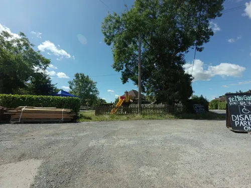

Hidden Spring Vineyard
Brewery and winery · 0.4 mi
Vineyard in East Sussex making English wines
Vines Cross Road, Horam
Fr 17:00-20:00, Sa-Su 12:00-19:00


Tpodz Cafe
Cafe · Regional
High Street, Horam
Mo-Fr 07:00-16:00; Sa-Su 09:00-16:00

Trawlerman Fish & Chips
Fast food · Fish And Chips
High Street, Horam
Mo CLOSED Tu-Th 16:30-21:00 Fr-Sa 12:00-14:00 16:30-21:00 Su CLOSED
Where to stay2

History
The village of Horam grew up around the railway station and was formerly known as 'Horeham' or 'Horeham Road'. The railway station (closed in 1965 under the Beeching Axe) was originally named ‘Horeham Road for Waldron’. In 1891 it became ‘Horeham Road and Waldron’. In 1925 the village changed its name to Horam, although the station persevered with ‘Waldron and Horeham Road’ until 1935. The dialling code for Horam is still listed as 'Horam Road'.
Vines Cross is named after John Vyne, who was a local vintner in 1595. Like many other settlements on the Weald, Horam was involved in the Wealden iron industry.
From the History section of Horam on Wikipedia, under CC BY-SA 4.0.
More about Horam
Geography
Horam village lies on the A267 Tunbridge Wells–Eastbourne road south of Heathfield. The area is on the slopes of the Weald: there are many headwater streams of the River Cuckmere, carving out valleys, the main one being the Waldron Ghyll (or Gill).
Education
Primary education is provided at Maynards Green Primary School.
St Mary's School, Horam is a secondary day and residential special school, located at Maynards Green.
From the Wikipedia article Horam, under CC BY-SA 4.0.
Churches and places of worship7
Shopping1
Gas and EV charging1
Schools, colleges and libraries3
Healthcare1
Map of Horam
30 places. The map loads OpenStreetMap tiles when you open it.
Getting there and nearby towns
London Gatwick Airport (LGW) is the nearest airport with scheduled flights listed in OpenStreetMap, 24 miles away.
- Heathfield 2 mi north, about 4 min by car
- Hailsham 5 mi south, about 8 min by car
- Herstmonceux 5 mi southeast, about 7 min by car
- Buxted 6 mi northwest, about 10 min by car
- Uckfield 7 mi west, about 11 min by car
- Burwash 7 mi northeast, about 12 min by car
- Crowborough 9 mi north, about 15 min by car
- Ninfield 9 mi southeast, about 14 min by car
- Bexhill-on-Sea 11 mi southeast, about 18 min by car
- Eastbourne 12 mi south, about 19 min by car
Drive times are estimates from straight-line distance, not routes.
Towns near Horam


Keep exploring
Local news
Headlines from INDB.
Reviews, tips and questions
Loading what members have shared...
Sources and licences
- GeoNames (CC BY 4.0): population, coordinates, regions and time zone
- Mapillary (see each image): photos
- OpenStreetMap contributors (ODbL 1.0): places, airports, map data
- Wikidata (CC0 1.0): elevation, founding date, time zone, website, landmarks and historic places
- Wikimedia Commons (see each image): photos
- Wikipedia (CC BY-SA 4.0): overview and history text
Photo credits
- Horam B2203, MortimerCat, CC BY-SA 3.0
- NCN Millennium Milepost MP47 Horam East Sussex, Chris Thomas-Atkin, CC BY-SA 2.0
- Ebenezer Strict Baptist Chapel, Broad Oak, near Heathfield, The Voice of Hassocks, CC0
- Zoar Strict Baptist Chapel, Lower Dicker, The Voice of Hassocks, CC0
- Cuckoo Trail, Cowden Wood banner 2, Ben Brooksbank, CC BY-SA 2.0
- Street-level photo, tallguy, CC BY-SA 4.0
- Street-level photo, tallguy, CC BY-SA 4.0
Page built November 10, 2026. Spotted a mistake? Tell us or suggest a place.