

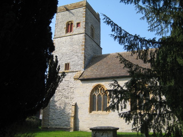


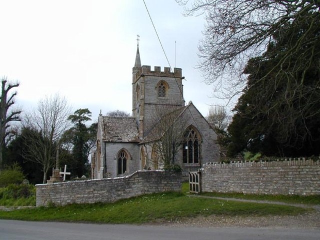

Ilchester, United Kingdom
Ilchester is a town of 2,153 people in England, United Kingdom.
Why visit Ilchester
Townapedia lists 13 museums and landmarks, 2 parks and trails, 9 places to eat and 1 place to stay in and around town.
Highlights include Lindinis and Fleet Air Arm Museum.
Weather in Ilchester
Forecast from MET Norway (CC BY 4.0). Full forecast
About Ilchester
Ilchester is a village and civil parish, situated on the River Yeo or Ivel, five miles (eight kilometres) north of Yeovil, in the English county of Somerset. Originally a Roman town, and later a market town, Ilchester has a rich medieval history and was a notable settlement in the county; around the 12th and 13th centuries it was effectively the county town. It had, however, declined in size and importance by the beginning of the 18th century, and the last markets were held in 1833. In 1889 the historic corporation that had governed the town (the Bailiff and Burgesses) was dissolved.
From the Wikipedia article Ilchester (this version), under CC BY-SA 4.0.
Museums and landmarks13

Fleet Air Arm Museum
Museum · 1.6 mi
Naval aviation museum in England, United Kingdom

Lytes Cary
Museum · 2.2 mi
Grade I listed manor house in Somerset, England, UK
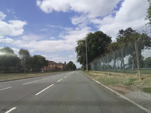
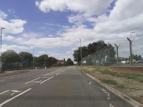
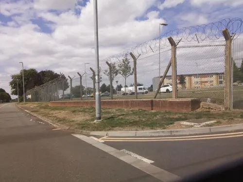

1 more on the map.
Parks, trails and playgrounds2


Restaurants and cafes9



Where to stay1
History
In the Roman period, the place was named Lindinis and was the site of a fort and then a town on the Fosse Way. Finds from a large 4th-century cemetery at Northover House suggest Christian worship. It eventually served as one of two regional capitals for the Durotriges tribe.
The place-name 'Ilchester' is first attested in the Domesday Book of 1086, where it appears as Givelcestre. The name means 'Roman fort on the River Yeo'.
There is evidence of continuous occupation of Ilchester despite the Roman withdrawal from Britain around 410. Ilchester has been associated with the Cair Pensa vel Coyt listed among the 28 cities of Britain by the History of the Britons, on the basis that it should be read as an Old Welsh form of 'Penselwood' (coit being Welsh for "forest"), although others view it as three separate words: Pensa or Coyt. Bishop Ussher believed the listing referred to Exeter instead.
Around the year 1000, there was a mint at Ilchester, which was moved to South Cadbury following attacks by the Danes, and prior to the Siege of Ilchester in 1088.
Read more of the history
Ilchester Friary was founded between 1221 and 1260 as a Dominican monastery. The buildings were restored in the 13th and 14th centuries until the site occupied a 1.6-hectare (4-acre) site, and by the 15th century it extended beyond the town walls. It is believed to be the birthplace of Roger Bacon, possibly in 1213 or 1214. It was dissolved in 1538, as part of the dissolution of the monasteries, but the buildings continued to be used, as a silk mill and relief prison, particularly for Quakers, until it was finally demolished in the early 19th century.
Ilchester Nunnery was founded around 1217–1220 originally as White Hall Hospital (Latin: Alba Aula, French: Blanche Halle/Blanche Salle) and, by 1281, had been converted into an Augustinian nunnery. The original White Hall hospital had been created after the gift of a house and other property by William "The Dane" (Norman-French: Le Deneis etc., Latinised to Dacus {not in the least bit related to Dacia}, modernised to "Dennis") of Sock Dennis. From a branch of this family was possibly descended the influential Denys family of Devon, (arms: three Danish battle axes) seated at Orleigh, near Buckland Brewer, Devon, from the 12th to 17th centuries In the early 14th century concerns were raised about the management of the nunnery and the poverty of the nuns. The building was expanded in 1370. The nunnery was dissolved in 1463 and the chapel become a free chapel, which itself was dissolved in 1548. A ruined building still existed in 1791, but the stone was then used to build the nearby Castle Farm.
Ilchester was a base for Henry III of England for a short period in 1250.
During the 12th century it was the county town of Somerset. The town has a 13th-century mace with three kings and an angel on it, which is the oldest staff of office in England. It can be seen at Ilchester Museum, which is located at the Town Hall House.
In July 1645 during the English Civil War, Ilchester was the scene of several skirmishes between Royalist and Parliamentary forces fighting for control of the bridges over the River Parrett and River Yeo before the Battle of Langport.
In 1795 work began on the Ivelchester and Langport Navigation, a canal linking Ilchester with Langport, but the scheme was soon bankrupted.
From 1621 to 1832, Ilchester was a Parliamentary constituency and a notorious rotten borough. Ilchester was the parliamentary seat of Sir William Manners (later Lord Huntingtower) in 1803 and 1806; however, it is said that he maintained his position by demolishing the houses of his opponents and putting them in the workhouse which meant they were not able to vote. When his son was not elected in 1818 he demolished the workhouse. He was succeeded as Member of Parliament by the Irish playwright Richard Brinsley Sheridan, author of The School for Scandal.
From the History section of Ilchester on Wikipedia, under CC BY-SA 4.0.
More about Ilchester
Geography
The parish, which includes the hamlet of Ilchester Mead, the former village of Sock Dennis or Stock-Dennis, and the old parish of Northover, has a population of 2,153. Sock Dennis lies on the Monarch's Way long-distance footpath.
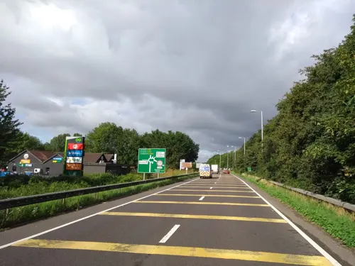
The A303 road once passed through the village but now runs via a dual carriageway bypass just to the west.
The village of Yeovilton lies 1+1⁄2 miles (2.5 kilometres) to the east of Ilchester. RNAS Yeovilton continues to be a notable Royal Naval Air Station.
Education
Ilchester Community Primary School consists of a Junior school and an Infant school, which cover key stage 1 and key stage 2 of the national curriculum. Both parts of the school are separate, each having a deputy head of year. The school has 295 pupils enrolled. The school was awarded Healthy school status in the summer of 2007.
Ilchester has a few Pre-schools and a Nursery. Heron Pre-School provision was rated as good by OFSTED in 2010.
St Mary's Pre-School, Ilchester has been in existence for around 40 years. It is located in the heart of the village, in the Church Rooms next to St Mary Major, its most recent Ofsted was in 2012 where it was rated as GOOD, particularly in safeguarding and relationships with parents.
From the Wikipedia article Ilchester, under CC BY-SA 4.0.
Notable people from Ilchester
 Roger BaconEnglish polymath, philosopher and friar (c.1219/20–c.1292)Photo: Unknown author, CC BY-SA 3.0
- Elizabeth Rowepoet and writer
- Benedict Arnoldcolonial governor of Rhode Island (1615-1678)
- William ArnoldEnglish settler of the Colony of Rhode Island
Born in Ilchester, according to Wikidata (CC0). Each name links to its Wikipedia article.
Churches and places of worship16
Gas and EV charging2
Schools, colleges and libraries2
Healthcare2
Map of Ilchester
47 places. The map loads OpenStreetMap tiles when you open it.
Getting there and nearby towns
Royal Naval Air Station Yeovilton (YEO) is the nearest airport with scheduled flights listed in OpenStreetMap, 1 miles away.
- Yeovil 5 mi southeast, about 8 min by car
- West Coker 6 mi south, about 10 min by car
- Curry Rivel 8 mi west, about 13 min by car
- Street 9 mi north, about 14 min by car
- Yetminster 9 mi southeast, about 14 min by car
- Templecombe 11 mi east, about 18 min by car
- Evercreech 12 mi northeast, about 20 min by car
- Westonzoyland 13 mi northwest, about 21 min by car
- Shepton Mallet 14 mi northeast, about 22 min by car
- Wells 14 mi north, about 23 min by car
Drive times are estimates from straight-line distance, not routes.
Towns near Ilchester


Keep exploring
Local news
Headlines from INDB.
Reviews, tips and questions
Loading what members have shared...
Sources and licences
- GeoNames (CC BY 4.0): population, coordinates, regions and time zone
- Mapillary (see each image): photos
- OpenStreetMap contributors (ODbL 1.0): places, airports, map data
- Wikidata (CC0 1.0): elevation, founding date, time zone, website, landmarks and historic places
- Wikimedia Commons (see each image): photos
- Wikipedia (CC BY-SA 4.0): overview and history text
Photo credits
- Ilchester, Chris Heaton, CC BY-SA 2.0
- Church of St Andrew Northover Ilchester, Sarah Smith, CC BY-SA 2.0
- Fleet Air Arm Museum, Rodw, Public domain
- Lytes Cary 1920x1200, Wehha, CC BY-SA 3.0
- Charlton Mackrell Church, Marilyn Peddle, CC BY-SA 2.0
- Chilthorne Domer church, Stevekeiretsu, CC BY-SA 4.0
- Podimore church, Martin Bodman, CC BY-SA 2.0
- Church of St Vincent Ashington, Mike Searle, CC BY-SA 2.0
- Street-level photo, southglos, CC BY-SA 4.0
- Street-level photo, southglos, CC BY-SA 4.0
- Street-level photo, southglos, CC BY-SA 4.0
- Street-level photo, southglos, CC BY-SA 4.0
- Street-level photo, southglos, CC BY-SA 4.0
- Street-level photo, southglos, CC BY-SA 4.0
- Street-level photo, ukchris, CC BY-SA 4.0
- Street-level photo, southglos, CC BY-SA 4.0
- Street-level photo, southglos, CC BY-SA 4.0
- Street-level photo, southglos, CC BY-SA 4.0
- Street-level photo, southglos, CC BY-SA 4.0
- Street-level photo, southglos, CC BY-SA 4.0
- Street-level photo, southglos, CC BY-SA 4.0


Page built November 10, 2026. Spotted a mistake? Tell us or suggest a place.