


Evercreech, United Kingdom
Evercreech is a town of 1,845 people in England, United Kingdom.
Why visit Evercreech
Townapedia lists 1 museum or landmark, 3 places to eat and 3 attractions in and around town.
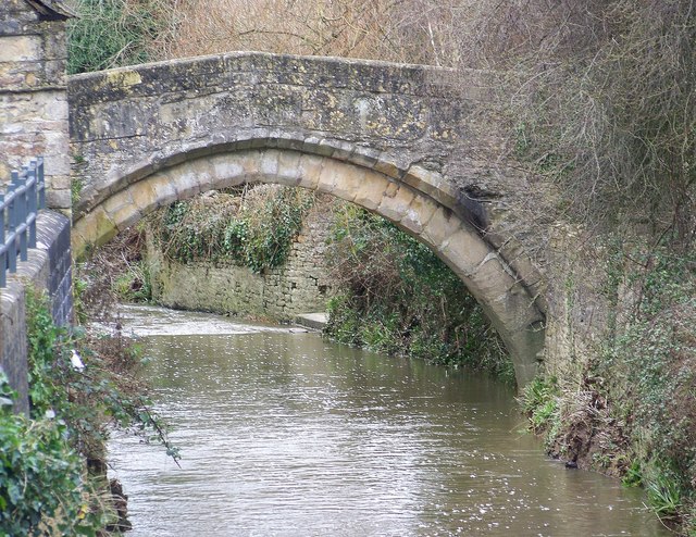
Highlights include Bow Bridge and Small Down Knoll.
Weather in Evercreech
Forecast from MET Norway (CC BY 4.0). Full forecast
About Evercreech
Evercreech is a village and civil parish in Somerset, England. The village is 3 miles (5 km) southeast of Shepton Mallet, and 5 miles (8 km) northeast of Castle Cary. The parish includes the hamlet of Stoney Stratton and the village of Chesterblade.
From the Wikipedia article Evercreech (this version), under CC BY-SA 4.0.
Things to do3

Bow Bridge
Bridge · 3.4 mi
Packhorse bridge in Bruton, Somerset, England

Museums and landmarks1

Restaurants and cafes3
Churches and places of worship14

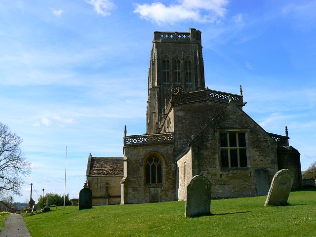
Church of St Aldhelm, Doulting
Church · 2.6 mi
Church in Doulting, Somerset, England, UK

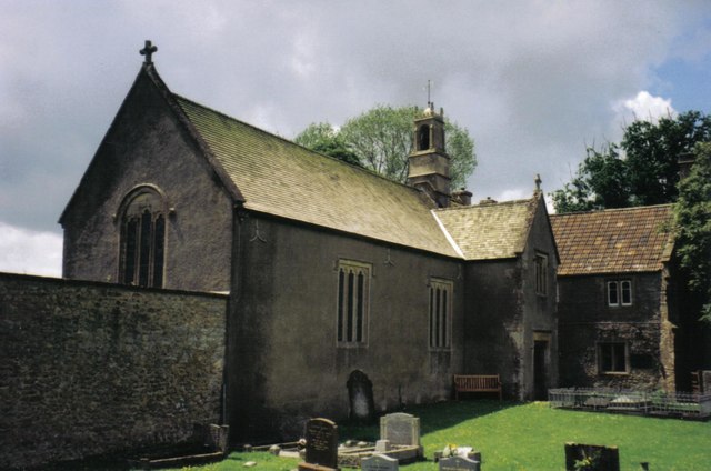
Church of St Mary and St John
Church · 1.9 mi
Church in Lamyatt, Somerset, England, UK

Church of St Mary Magdalene, Ditcheat
Church · 2.1 mi
Church in Ditcheat, Somerset, England, UK

Church of St Mary the Virgin, Batcombe
Church · 2.7 mi
Church in Batcombe, Somerset, England, UK
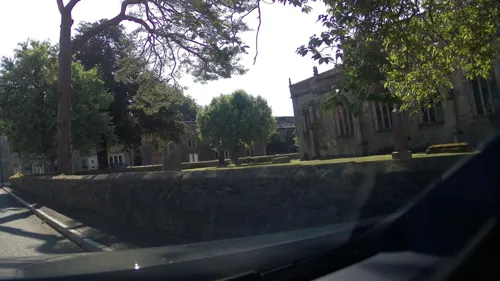
Church of St Peter
Church
Parish church in Evercreech, Somerset, England, UK

Church of the Holy Trinity
Church · 3.0 mi
Church in Wyke Champflower, Somerset, England, UK

Alhampton Mission Church
Church · 2.9 mi
Church in Somerset, England, UK
Church of All Saints, East Pennard
Church · 3.2 mi
Church in East Pennard, Somerset, England, UK
Church of St Bartholomew, Cranmore
Church · 3.1 mi
Church in Cranmore, Somerset, England, UK
Church of St James
Church · 1.3 mi
Church in Milton Clevedon, Somerset, England, UK
Church of St Mary
Church · 1.7 mi
Church in Chesterblade, Somerset, England, UK
Church of St Thomas à Becket
Church · 2.5 mi
Church in Pylle, Somerset, England, UK
2 more on the map.
History
The village was recorded as Evrecriz in the Domesday Book of 1086.
Small Down Knoll (or Small Down Camp) is a Bronze Age hill fort above the village which rises to 728 feet (222 m).
War was declared on 3rd September, 1939, and later that month, the local village school received 215 children evacuees, 18 teachers and 6 helpers, from two schools in West Ham, East London.
In 1941, 50 more children and their teachers arrived from Bristol after a bombing from Germany.
The children were welcomed into the homes of the villagers. However, rationing was a prominent issue even though many of the children had come with their own ration book.
Schools also had to adapt as their current teaching facilities and schedules could not accommodate and teach all of the extra students. The village town hall was used as an extra space and volunteers helped to look after the children and assist the teachers in the parish.
American soldiers had been arriving in Evercreech ever since 1942; however, in 1944, a group of African-American G.I.s were sent to the area. Most people in rural Somerset had never seen a Black person before, so seeing African-American soldiers was a novelty for the Evercreech population. However, the people of Evercreech welcomed the Black G.I.s in the same way they welcomed evacuees throughout the war, and the American presence was a boost to the morale of the British public.
Read more of the history
The troops helped out in schools and gave the children chocolates, fruits and chewing gum, which was a rarity in rationed Britain. Moreover, to raise money for the Spitfire funds, the village and the American soldiers held dances where they enjoyed American jazz music. Here, the African-American men could socialise and dance with white women, which was a novelty, and something forbidden in segregated America and often inter-racial relationships would be formed at these dances.
Overall, the Americans brought fun and friendship to Evercreech in an exceptional circumstance, and Evercreech welcomed them into their lives.
From the History section of Evercreech on Wikipedia, under CC BY-SA 4.0.
Notable people from Evercreech
 Cheridah de Beauvoir StocksBritish aviatorPhoto: Unknown author Unknown author, Public domain
- Monica SinclairBritish contralto (1925–2002)
Born in Evercreech, according to Wikidata (CC0). Each name links to its Wikipedia article.
Schools, colleges and libraries2
Map of Evercreech
23 places. The map loads OpenStreetMap tiles when you open it.
Getting there and nearby towns
Royal Naval Air Station Yeovilton (YEO) is the nearest airport with scheduled flights listed in OpenStreetMap, 11 miles away.
- Shepton Mallet 3 mi northwest, about 5 min by car
- Wells 7 mi northwest, about 12 min by car
- Frome 10 mi northeast, about 16 min by car
- Midsomer Norton 10 mi north, about 15 min by car
- Street 10 mi west, about 17 min by car
- Templecombe 11 mi south, about 18 min by car
- Draycott 13 mi northwest, about 21 min by car
- Yeovil 15 mi south, about 25 min by car
- Warminster 15 mi east, about 24 min by car
- Bath 17 mi north, about 27 min by car
Drive times are estimates from straight-line distance, not routes.
Towns near Evercreech


Keep exploring
Local news
Headlines from INDB.
Reviews, tips and questions
Loading what members have shared...
Sources and licences
- GeoNames (CC BY 4.0): population, coordinates, regions and time zone
- Mapillary (see each image): photos
- OpenStreetMap contributors (ODbL 1.0): places, airports, map data
- Wikidata (CC0 1.0): elevation, founding date, time zone, website, landmarks and historic places
- Wikimedia Commons (see each image): photos
- Wikipedia (CC BY-SA 4.0): overview and history text
Photo credits
- Bow Bridge Bruton, Trish Steel, CC BY-SA 2.0
- St Aldhelms church Doulting, Merryn, CC BY-SA 2.0
- Lamyatt church, Phil Williams, CC BY-SA 2.0
- Ditcheat church, Barbara Voules, CC BY-SA 2.0
- Batcombe church, Brian Robert Marshall, CC BY-SA 2.0
- Wyke Champflower church, Chris Downer, CC BY-SA 2.0
- Street-level photo, southglos, CC BY-SA 4.0
- Street-level photo, southglos, CC BY-SA 4.0
- Street-level photo, ukchris, CC BY-SA 4.0
- Street-level photo, southglos, CC BY-SA 4.0
- Street-level photo, southglos, CC BY-SA 4.0
Page built November 10, 2026. Spotted a mistake? Tell us or suggest a place.