


Why visit Ingrave
Townapedia lists 5 museums and landmarks, 11 parks and trails, 10 places to eat, 1 place to stay and 2 attractions in and around town.
Highlights include Brentwood Golf Centre at Hartswood and Hutton Country Park.
Weather in Ingrave
Forecast from MET Norway (CC BY 4.0). Full forecast
About Ingrave
Ingrave is a village in the civil parish of Herongate and Ingrave, in the Brentwood district in Essex, England. It is situated on and around the A128 road, 2 miles (3 km) south-east of the centre of Brentwood. It now forms a single built up area with the adjoining village of Herongate to the south.
From the Wikipedia article Ingrave (this version), under CC BY-SA 4.0.
Things to do2

Museums and landmarks5

Parks, trails and playgrounds11
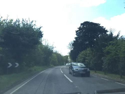


Thorndon Park
Park · 1.1 mi
Site of Special Scientific Interest in England
Restaurants and cafes10
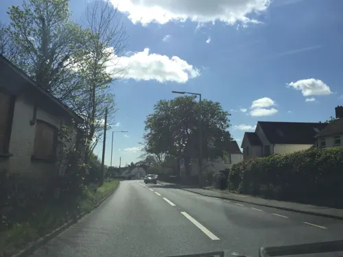
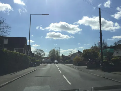

The Olde Dog Inn
Bar and pub · 1.4 mi
Billericay Road, Herongate
Mo-Th 12:00-21:30; Fr,Sa 12:00-23:00; Su 12:00-20:00


History
The name Ingrave means the place of Ralph's people. In the Domesday Book of 1086 there were three estates or manors at a vill listed as Inga in the Barstable Hundred of Essex. Two of the manors were owned by a Ranulf. The manors in the area subsequently consolidated into a manor called "Ging Ralph", which name evolved into Ingrave.
No church or priest is mentioned in the Domesday Book at Ingrave, but it came to be a parish. The original centre of the settlement was around the manor house of Ingrave Hall, to the north-east of the modern village, with the medieval parish church of St Nicholas alongside it.
In 1712, Ingrave was united with the neighbouring parish of West Horndon for ecclesiastical purposes, although they remained separate parishes for civil purposes. In 1734 a new parish church, also dedicated to St Nicholas, was built on Brentwood Road in Ingrave, in a location more central to the growing village, after which the medieval churches of both Ingrave and West Horndon were demolished. The new church was funded by Robert Petre of Thorndon Hall (then just over the parish boundary in West Horndon), who owned most of the land in both Ingrave and West Horndon.
Read more of the history
When elected parish and district councils were established in 1894, Ingrave was included in the Billericay Rural District. In 1934, the rural district and civil parish were both abolished. The area of Ingrave parish was then absorbed into the urban district of Brentwood. At the 1931 census (the last before the abolition of the civil parish), Ingrave had a population of 692.
Ingrave has been administered as part of Brentwood since 1934. The area became unparished when the urban district was enlarged to become the modern Brentwood district in 1974. A new civil parish called Herongate and Ingrave was created in 2003 from part of the unparished area, providing an additional tier of local government for that area. The new parish also includes Herongate, which lies immediately south of Ingrave village. The two villages are now classed as a single built up area by the Office for National Statistics, which calls the built up area "Ingrave and Herongate".
From the History section of Ingrave on Wikipedia, under CC BY-SA 4.0.
Where to stay1
Churches and places of worship9
Gas and EV charging1
Schools, colleges and libraries4
Ingrave Johnstone Church of England Voluntary Aided Primary School
School · Anglican · 0.4 mi
Brentwood Road, Brentwood
Healthcare1
Map of Ingrave
44 places. The map loads OpenStreetMap tiles when you open it.
Getting there and nearby towns
London City Airport (LCY) is the nearest airport with scheduled flights listed in OpenStreetMap, 14 miles away.
- Brentwood 2 mi northwest, about 3 min by car
- Billericay 4 mi northeast, about 6 min by car
- Bulphan 4 mi south, about 7 min by car
- Upminster 5 mi southwest, about 8 min by car
- Basildon 6 mi southeast, about 9 min by car
- Stock 6 mi northeast, about 10 min by car
- Romford 7 mi west, about 11 min by car
- Stanford-le-Hope 7 mi southeast, about 11 min by car
- South Ockendon 7 mi south, about 11 min by car
- Dagenham 8 mi southwest, about 13 min by car
Drive times are estimates from straight-line distance, not routes.
Towns near Ingrave


Keep exploring
Local news
Headlines from INDB.
Reviews, tips and questions
Loading what members have shared...
Sources and licences
- GeoNames (CC BY 4.0): population, coordinates, regions and time zone
- Mapillary (see each image): photos
- OpenStreetMap contributors (ODbL 1.0): places, airports, map data
- Wikidata (CC0 1.0): elevation, founding date, time zone, website, landmarks and historic places
- Wikimedia Commons (see each image): photos
- Wikipedia (CC BY-SA 4.0): overview and history text
Photo credits
- St. Mary the Virgin 20080712-1, Hans A. Rosbach, CC BY-SA 3.0
- Thorndon Hall1, John Winfield, CC BY-SA 2.0
- Street-level photo, essexboy, CC BY-SA 4.0
- Street-level photo, essexboy, CC BY-SA 4.0
- Street-level photo, essexboy, CC BY-SA 4.0
- Street-level photo, essexboy, CC BY-SA 4.0
- Street-level photo, essexboy, CC BY-SA 4.0
Page built November 10, 2026. Spotted a mistake? Tell us or suggest a place.