


Why visit Iwade
Townapedia lists 2 museums and landmarks, 8 parks and trails, 4 places to eat and 2 attractions in and around town.
Highlights include Kingsferry Bridge, Romano-Celtic temple at Watling, Newington and Milton Creek Country Park.
Weather in Iwade
Forecast from MET Norway (CC BY 4.0). Full forecast
About Iwade
Iwade is a village and civil parish 2 miles (3.2 km) north of the town of Sittingbourne, in the Swale district, in the English county of Kent. In 2011 the parish had a population of 3087.
From the Wikipedia article Iwade, Kent (this version), under CC BY-SA 4.0.
Things to do2


Museums and landmarks2

Romano-Celtic temple at Watling, Newington
Monument and historic site · 2.9 mi
Romano-Celtic temple in a roadside settlement near Newington

Parks, trails and playgrounds8



Restaurants and cafes4
Mews Brewhouse
Cafe
Unit B School Mews
Tu-Fr 10:00-15:30; Sa 09:30-15:00; Su 09:30-14:00
History
Iwade was established in the late Medieval period, when it was a settlement linking Watling Street to the coast via Key Street (a street towards a Quay). A moated dwelling is believed to have existed here during the 13th to 15th centuries. According to Edward Hasted, in 1798 the manor of Warde (Iwade) was within the hundred of Teynham. It had sixteen houses, and about 60 or 70 inhabitants.
The village lies on the former route of the A249 road, a major road from Maidstone to the Isle of Sheppey. A bypass was constructed in 1992, and improved again in 2006 during construction of the Sheppey Crossing. Iwade is the nearest settlement to Swale railway station.
In 2014, a prehistoric henge was discovered during the development of new homes. It is believed to date from around 6000BC and is 30 metres (98 ft) in diameter.
From the History section of Iwade, Kent on Wikipedia, under CC BY-SA 4.0.
Churches and places of worship2
Schools, colleges and libraries2
Healthcare2
Map of Iwade
22 places. The map loads OpenStreetMap tiles when you open it.
Getting there and nearby towns
Rochester Airport (RCS) is the nearest airport with scheduled flights listed in OpenStreetMap, 10 miles away.
- Sittingbourne 3 mi south, about 4 min by car
- Queenborough 3 mi north, about 5 min by car
- Lower Halstow 3 mi west, about 4 min by car
- Newington 3 mi southwest, about 5 min by car
- Upchurch 4 mi west, about 6 min by car
- Sheerness 5 mi north, about 7 min by car
- Teynham 5 mi southeast, about 7 min by car
- Eastchurch 6 mi east, about 9 min by car
- Gillingham 8 mi west, about 13 min by car
- Chatham 9 mi west, about 14 min by car
Drive times are estimates from straight-line distance, not routes.
Towns near Iwade


Keep exploring
Local news
Headlines from INDB.
Reviews, tips and questions
Loading what members have shared...
Sources and licences
- GeoNames (CC BY 4.0): population, coordinates, regions and time zone
- Mapillary (see each image): photos
- OpenStreetMap contributors (ODbL 1.0): places, airports, map data
- Wikidata (CC0 1.0): elevation, founding date, time zone, website, landmarks and historic places
- Wikimedia Commons (see each image): photos
- Wikipedia (CC BY-SA 4.0): overview and history text
Photo credits
- 73107 on Kingsferry Bridge, "Stuart" 74009, CC BY-SA 2.0
- Watling Place Temple (Southwest View - 02), Doyle of London, CC BY-SA 4.0
- Milton Creek Country Park Play Area, Chelb, CC BY-SA 4.0
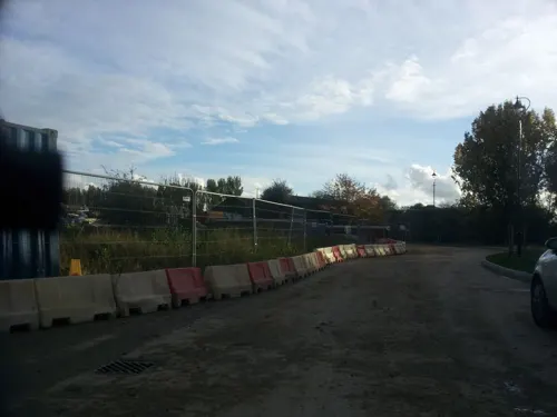
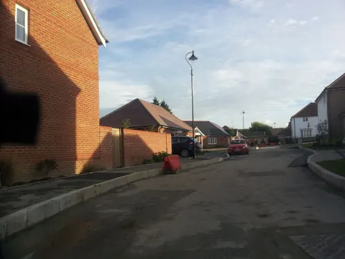
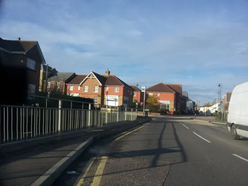
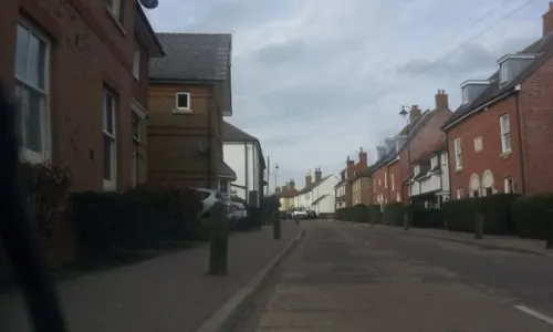
- Street-level photo, paulbiv, CC BY-SA 4.0
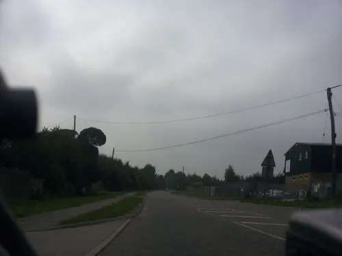
- Street-level photo, paulbiv, CC BY-SA 4.0
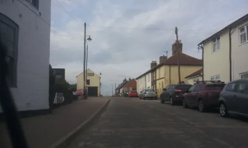
- Street-level photo, paulbiv, CC BY-SA 4.0
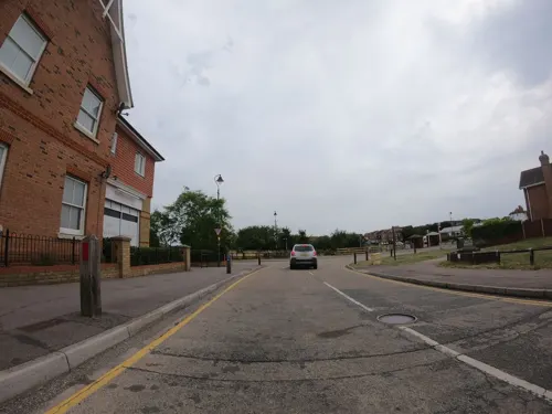
- Street-level photo, paulbiv, CC BY-SA 4.0
- Street-level photo, paulbiv, CC BY-SA 4.0
- Street-level photo, paulbiv, CC BY-SA 4.0
- Street-level photo, paulbiv, CC BY-SA 4.0
- Street-level photo, paulbiv, CC BY-SA 4.0
- Street-level photo, paulbiv, CC BY-SA 4.0
Page built November 10, 2026. Spotted a mistake? Tell us or suggest a place.