

Why visit Teynham
Townapedia lists 7 parks and trails, 8 places to eat and 2 places to stay in and around town.
Highlights include Milton Creek Country Park and Oare Meadow.
Weather in Teynham
Forecast from MET Norway (CC BY 4.0). Full forecast
About Teynham
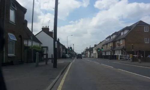
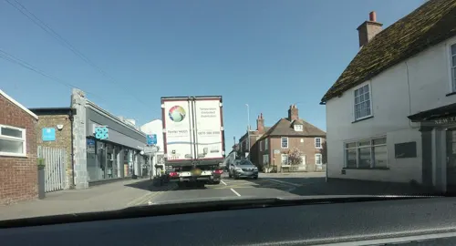
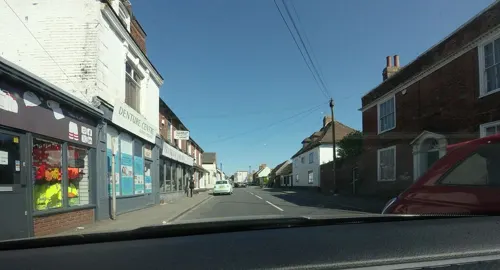
Teynham is a small village and civil parish in the borough of Swale in Kent, England. The parish lies between the towns of Sittingbourne and Faversham, immediately north of the A2 road, and includes the hamlet of Conyer on an inlet of the Swale, the channel that separates mainland Kent from the Isle of Sheppey. Other hamlets include Deerton Street, Frognal, and Teynham Street.
From the Wikipedia article Teynham (this version), under CC BY-SA 4.0.
Parks, trails and playgrounds7



Restaurants and cafes8
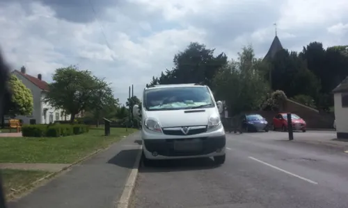
The Black Lion
Bar and pub · 1.4 mi
The Street, Lynsted
Mo off; Tu 16:00-22:00; We-Th 12:00-22:00; Fr-Sa 12:00-23:00; Su...
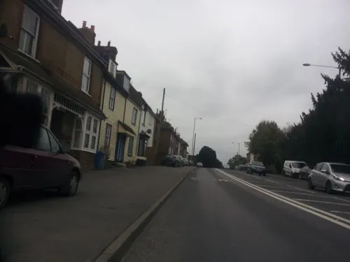
Dover Castle
Bar and pub
20 London Road, Teynham
Mo-We off; Th-Sa 12:00-15:00,17:30-21:30; Su 12:00-18:00
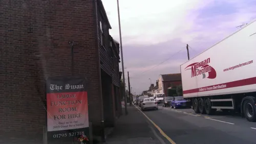

The Plough Inn
Bar and pub · 1.0 mi
Mo-We off; Th-Sa 12:00-15:00,17:30-21:30; Su 12:00-18:00
Where to stay2
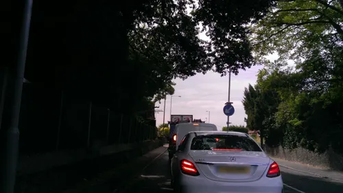
Churches and places of worship8
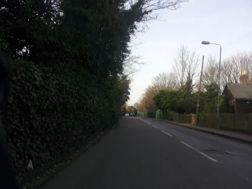
Church of All Saints, Murston
Church · 2.4 mi
Church in Murston, Kent, England, UK
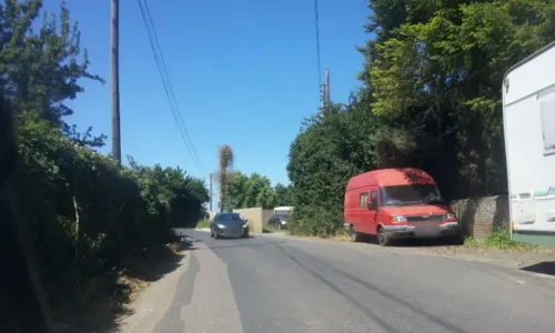
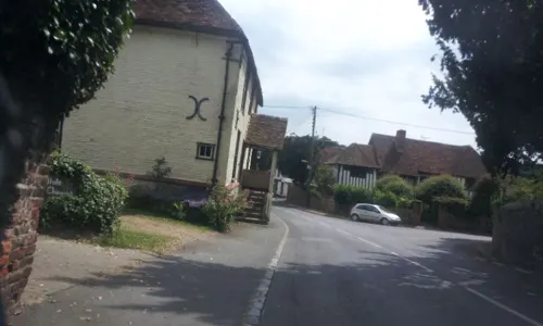

St Mary's Church, Luddenham
Church · 2.3 mi
Grade I listed church in Luddenham, Swale, Kent, England, UK
History
Teynham lies on Watling Street, in Roman times the main route from Dover to London. At several places along this route, monumental tombs of Roman age have been found, one of which was discovered to the west of Teynham, just north of the junction of the London Road with Claxfield Road. This probably included a sacred enclosure, dating from the mid-first century, around a central building that sheltered a Roman sculpture of the god Triton, half man and half fish, with a ketos sea monster, which was discovered in 2023. Many fragments of local and continental red, white, and green stone types also indicate the original display of the owner's wealth. He may also have been the owner of the villa rustica at Bax Farm some 1400 metres to the north. The sculpture is one of very few tritons in Britain; other and more sophisticated representations are common on the Continent. It appears to have been ritually decapitated and buried in the early to mid fourth-century, possibly associated with the christianization of the Roman Empire.
Read more of the history
Early Archbishops resided in Teynham. Coenwulf of Mercia, who reigned 794–819, gave Teynham to Christ Church, Canterbury, and later a palace, which no longer exists, was built here. Archbishop Baldwin of Forde (1184–91), Hubert Walter (1193–1207), Stephen Langton (1207–29), and Raynold (1313–28) all in turn lived at Teynham. Archbishop John de Stratford in 1345, entertained King Edward III at Teynham. The church, St Mary's, in Teynham Street towards Conyer is Grade I listed, by the oldest buildings, Hinkley's Mill, Thatched Cottage, The Old Vicarage, Banks' farmhouse and cottage, Teynham Court and Crown House. The church stained glass windows date two centuries after its building, to the 15th century, restored 1873.
Later King Henry III granted the town the right to hold a market and fair.
Richard Harrys (or Harris – in some accounts) who also lived at Teynham, and was a fruiterer to King Henry VIII instructed to plant 105 acres of land with cherries and apples that he had obtained from Flanders, and thus the village is one of the earliest in which the cherry was grown in Kent and England.
By 1848, Teynham had a population of 845 people. It was part of the Hundred of Teynham, in the Upper Division of the Lathe of Scray.
Most of the village income was made from cherry growing, with some from hops. Its patron was still the Archdeacon of Canterbury.
From the History section of Teynham on Wikipedia, under CC BY-SA 4.0.
More about Teynham
Geography
Teynham is an agricultural parish situated three miles east of Sittingbourne. The southern part of the parish is mainly devoted to agriculture, the principal crops being corn and hops with the produce of some famous orchards. Near the Swale is a large tract of land known as the Teynham Levels. This is devoted solely to the raising of sheep and cattle. At one time these marshes were not properly drained, and malaria was prevalent within the parish. So many residents got the disease that Teynham became known as an unhealthy place.
The draining of the marshes eradicated this by 1953, which was carried out under the direction of a Commission formed for the purpose (and who had powers to levy a scot). The disease in the UK threatens a return to the Swale marshes, with dry habitats such as vacant pillboxes allowing over-wintering for vector species, however few carriers frequently come to the area and gradually derelict structures are being removed.
From the Wikipedia article Teynham, under CC BY-SA 4.0.
Notable people from Teynham
- James MenterBritish physicist (1921–2006)
Born in Teynham, according to Wikidata (CC0). Each name links to its Wikipedia article.
Gas and EV charging2
Schools, colleges and libraries3
Healthcare1
Map of Teynham
31 places. The map loads OpenStreetMap tiles when you open it.
Getting there and nearby towns
Rochester Airport (RCS) is the nearest airport with scheduled flights listed in OpenStreetMap, 13 miles away.
- Sittingbourne 3 mi west, about 5 min by car
- Faversham 4 mi east, about 6 min by car
- Eastchurch 6 mi northeast, about 9 min by car
- Newington 6 mi west, about 10 min by car
- Lower Halstow 7 mi northwest, about 11 min by car
- Lenham 7 mi southwest, about 12 min by car
- Upchurch 7 mi northwest, about 12 min by car
- Sheerness 8 mi north, about 13 min by car
- Charing 8 mi south, about 13 min by car
- Whitstable 10 mi east, about 16 min by car
Drive times are estimates from straight-line distance, not routes.
Towns near Teynham


Keep exploring
Local news
Headlines from INDB.
Reviews, tips and questions
Loading what members have shared...
Sources and licences
- GeoNames (CC BY 4.0): population, coordinates, regions and time zone
- Mapillary (see each image): photos
- OpenStreetMap contributors (ODbL 1.0): places, airports, map data
- Wikidata (CC0 1.0): elevation, founding date, time zone, website, landmarks and historic places
- Wikimedia Commons (see each image): photos
- Wikipedia (CC BY-SA 4.0): overview and history text
Photo credits
- Milton Creek Country Park Play Area, Chelb, CC BY-SA 4.0
- Street-level photo, paulbiv, CC BY-SA 4.0
- Street-level photo, paulbiv, CC BY-SA 4.0
- Street-level photo, paulbiv, CC BY-SA 4.0
- Street-level photo, tallguy, CC BY-SA 4.0
- Street-level photo, paulbiv, CC BY-SA 4.0
- Street-level photo, paulbiv, CC BY-SA 4.0
- Street-level photo, petermead, CC BY-SA 4.0
- Street-level photo, paulbiv, CC BY-SA 4.0
- Street-level photo, tallguy, CC BY-SA 4.0
- Street-level photo, tallguy, CC BY-SA 4.0
- Street-level photo, petermead, CC BY-SA 4.0
- Street-level photo, paulbiv, CC BY-SA 4.0
- Street-level photo, paulbiv, CC BY-SA 4.0
- Street-level photo, paulbiv, CC BY-SA 4.0
- Street-level photo, petermead, CC BY-SA 4.0
Page built November 10, 2026. Spotted a mistake? Tell us or suggest a place.