


Why visit Upchurch
Townapedia lists 2 museums and landmarks, 15 parks and trails, 13 places to eat, 4 places to stay and 2 attractions in and around town.
Highlights include Romano-Celtic temple at Watling, Newington, Foxburrow Wood and Riverside Country Park.
Weather in Upchurch
Forecast from MET Norway (CC BY 4.0). Full forecast
About Upchurch
Upchurch is a village and civil parish in the Swale district of Kent, England. It is situated about 2 kilometres (1.2 mi) north of the A2 road, between Rainham and Sittingbourne.
From the Wikipedia article Upchurch (this version), under CC BY-SA 4.0.
Things to do2

Museums and landmarks2

Romano-Celtic temple at Watling, Newington
Monument and historic site · 2.0 mi
Romano-Celtic temple in a roadside settlement near Newington

Parks, trails and playgrounds15






3 more on the map.
Restaurants and cafes13
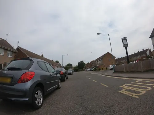
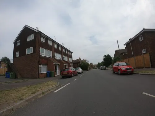
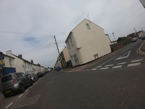
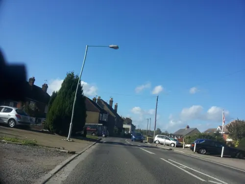
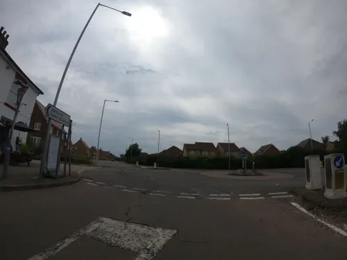


1 more on the map.
History
It is probable that, although today the land is low-lying and marshy, it was once higher than it is today.
Upchurch lay on a pre-Roman trackway; the many linking roads are the result of Roman occupation, which had built a community of ex-soldiers who wanted to settle in England. A Roman cemetery has been discovered here. It is also the site of several Roman pottery works. A more recent pottery was established here in 1909 called the Upchurch Pottery. It became well known and could be found retailing through such outlets as Liberty & Co. It closed in 1963.
The Upchurch Hoard is a hoard of well worn coins which date from the first and second century A.D. which were found close to Upchurch in 1950.
Under the grade I listed 14th century church is a small crypt (a charnel house) where bones were kept when the churchyard was full. It was discovered in 1877 and the bones re-interred. The church is also notable for its very unusual 'candle-snuffer' steeple where an octagonal pyramid appears to have been stacked on top of a square one resembling a couple of inverted ice-cream cones. It is believed that the distinctive shape was chosen to serve as a navigational aid for shipping on The River Thames. The wall surrounding the church was found in 2014 also to be listed within the church grade one status.
Read more of the history
In 2008 residents with the aid of a National Lottery grant collected and published a book Upchurch in old picture postcards. The project, to collect and maintain photographs that reflected changing village life, continues under the heading, the Upchurch Collection.
The settlement of Otterham Quay lies a mile west of the village at the head of Otterham Creek. This small port gave young Francis Drake his first experience of the sea. When the last brick field was given planning permission for development, a publication Otterham, Kent: Your Heritage was produced. The book wanted to record the heritage of the area ahead of new housing.
On 16 August 1944 a V-1 flying bomb exploded and destroyed the rail bridge over Oak Lane, directly ahead of a London Victoria to Ramsgate express train that was unable to stop. The locomotive made it to the far side of the bridge the remainder of the train did not. Eight people were killed and 61 others injured, 33 seriously. Due to wartime restrictions little detail about the accident was initially allowed to be published, but the Daily Mirror reported the story on 14 September under the title "Train that Jumped the Gap".
From the History section of Upchurch on Wikipedia, under CC BY-SA 4.0.
Where to stay4
Churches and places of worship2
Shopping1
Gas and EV charging1
Schools, colleges and libraries4
Map of Upchurch
44 places. The map loads OpenStreetMap tiles when you open it.
Getting there and nearby towns
Rochester Airport (RCS) is the nearest airport with scheduled flights listed in OpenStreetMap, 6 miles away.
- Gillingham 4 mi west, about 7 min by car
- Sittingbourne 4 mi southeast, about 7 min by car
- Chatham 5 mi west, about 8 min by car
- Rochester 6 mi west, about 10 min by car
- Sheerness 7 mi northeast, about 11 min by car
- Wouldham 8 mi west, about 13 min by car
- Maidstone 9 mi southwest, about 15 min by car
- Snodland 9 mi west, about 15 min by car
- Canvey Island 10 mi north, about 17 min by car
- Southend-on-Sea 12 mi north, about 19 min by car
Drive times are estimates from straight-line distance, not routes.
Towns near Upchurch


Keep exploring
Local news
Headlines from INDB.
Reviews, tips and questions
Loading what members have shared...
Sources and licences
- GeoNames (CC BY 4.0): population, coordinates, regions and time zone
- Mapillary (see each image): photos
- OpenStreetMap contributors (ODbL 1.0): places, airports, map data
- Wikidata (CC0 1.0): elevation, founding date, time zone, website, landmarks and historic places
- Wikimedia Commons (see each image): photos
- Wikipedia (CC BY-SA 4.0): overview and history text
Photo credits
- Foxburrow Wood 1, Dudley Miles, CC BY-SA 4.0
- St Mary the Virgin's Church, Upchurch, Kent, Clem Rutter, Rochester, Kent., CC BY 2.5
- Watling Place Temple (Southwest View - 02), Doyle of London, CC BY-SA 4.0
- Riverside country park 4815, Photograph by Clem Rutter, Rochester, Kent. ( www.clemrutter.net )., CC BY-SA 4.0
- Boardwalk at Berengrave Local Nature Reserve, Tim Sheerman-Chase, CC BY 2.0
- Street-level photo, paulbiv, CC BY-SA 4.0
- Street-level photo, paulbiv, CC BY-SA 4.0
- Street-level photo, paulbiv, CC BY-SA 4.0
- Street-level photo, paulbiv, CC BY-SA 4.0
- Street-level photo, paulbiv, CC BY-SA 4.0
- Street-level photo, paulbiv, CC BY-SA 4.0
- Street-level photo, paulbiv, CC BY-SA 4.0
- Street-level photo, paulbiv, CC BY-SA 4.0
- Street-level photo, paulbiv, CC BY-SA 4.0
- Street-level photo, paulbiv, CC BY-SA 4.0
- Street-level photo, paulbiv, CC BY-SA 4.0
- Street-level photo, paulbiv, CC BY-SA 4.0
- Street-level photo, paulbiv, CC BY-SA 4.0
- Street-level photo, paulbiv, CC BY-SA 4.0
- Street-level photo, paulbiv, CC BY-SA 4.0
Page built November 10, 2026. Spotted a mistake? Tell us or suggest a place.