


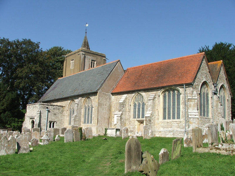


Kings Hill, United Kingdom
Kings Hill is a town of 2,638 people in England, United Kingdom.
Why visit Kings Hill
Townapedia lists 6 museums and landmarks, 7 parks and trails, 32 places to eat and 1 attraction in and around town.
Highlights include Teston Bridge, St Leonard's Tower, Mereworth Castle and Manor Park Country Park.
Weather in Kings Hill
Forecast from MET Norway (CC BY 4.0). Full forecast
About Kings Hill
Kings Hill is a civil parish in the borough of Tonbridge and Malling in Kent, England. It is one of several new villages built in Kent since the 1950s (other examples including Vigo and New Ash Green). Development started in 1989 near West Malling, on land previously occupied by RAF West Malling which was operational during both world wars. The plan was for a multi-purpose site of both residential and office/business space.
From the Wikipedia article Kings Hill (this version), under CC BY-SA 4.0.
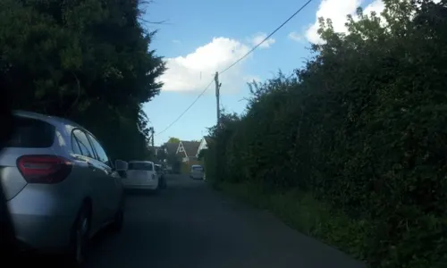
Photos of Kings Hill


Things to do1

Teston Bridge
Bridge · 2.4 mi
Grade I listed bridge in Teston, Kent, England
Museums and landmarks6

The Airman
Monument and historic site
Royal Air Force West Malling Memorial. Unveiled on 9th June 2002 marking the site of RAF West Malling.
Gibson Drive

West Malling Runway Memorial
Monument and historic site · 0.5 mi
Memorial dedicated to the airmen who served in West Malling airfield during World War II
Townsend Square
Parks, trails and playgrounds7
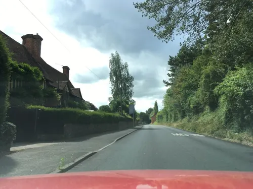
Manor Park Country Park
Park · 0.9 mi
Park in West Malling, Tonbridge and Malling, Kent, England


Restaurants and cafes32
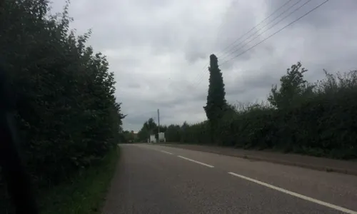
The Food Shed
Cafe · Cake, Coffee Shop, Local, Sausage, Meat, Tea · 1.4 mi
Teston Road, West Malling
Mo-Fr,Su 10:00-15:00
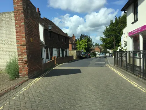
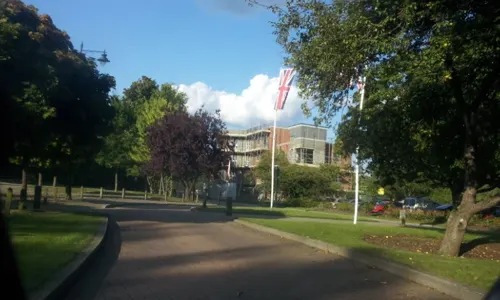
Costa
Cafe · Coffee Shop
1 Queen Street, West Malling
Mo-Fr 06:30-18:30; Sa 07:00-18:30; Su 08:30-17:30

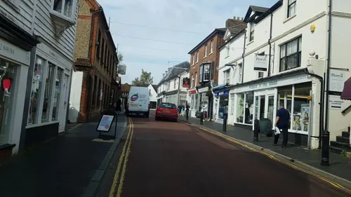



20 more on the map.
Churches and places of worship10
Shopping3
Schools, colleges and libraries6
West Malling Church of England Primary School and McGinty Speech and Language Centre
School · Anglican · 1.5 mi
Norman Road, West Malling
Healthcare3
Map of Kings Hill
68 places. The map loads OpenStreetMap tiles when you open it.
Getting there and nearby towns
Rochester Airport (RCS) is the nearest airport with scheduled flights listed in OpenStreetMap, 7 miles away.
- West Malling 1 mi north, about 2 min by car
- Wateringbury 2 mi southeast, about 3 min by car
- Yalding 4 mi south, about 6 min by car
- Snodland 4 mi northeast, about 7 min by car
- East Peckham 4 mi south, about 7 min by car
- Hadlow 4 mi southwest, about 7 min by car
- Maidstone 5 mi east, about 8 min by car
- Wrotham 5 mi northwest, about 8 min by car
- Burham 5 mi northeast, about 8 min by car
- Halling 6 mi north, about 9 min by car
Drive times are estimates from straight-line distance, not routes.
Towns near Kings Hill


Keep exploring
Local news
Headlines from INDB.
Reviews, tips and questions
Loading what members have shared...
Sources and licences
- GeoNames (CC BY 4.0): population, coordinates, regions and time zone
- Mapillary (see each image): photos
- OpenStreetMap contributors (ODbL 1.0): places, airports, map data
- Wikidata (CC0 1.0): elevation, founding date, time zone, website, landmarks and historic places
- Wikimedia Commons (see each image): photos
- Wikipedia (CC BY-SA 4.0): overview and history text
Photo credits
- All Saints Church, West Farleigh, Sunhyll at en.wikipedia, Public domain
- St Peter and St Paul, Teston 01, Poliphilo, CC0
- StMichaels EastPeckham, Efficacy at English Wikipedia, Public domain
- Church of St. Lawrence, Mereworth, Tonbridge and Malling, Kent, United Kingdom, Christopher Nicol, CC BY-SA 3.0
- WateringburyYew0504, Clem Rutter, Rochester, Kent., CC BY 2.5
- Church of St Mary, West Malling - view from SE, Tom Parnell, CC BY-SA 4.0
- St Leonard's Tower 01, Simon Burchell, CC BY-SA 4.0
- 1209081 II 15, HIGH STREET West Malling 20250824 0006, Tilman2007, CC BY-SA 4.0
- 1209083 II 20, HIGH STREET West Malling 20250824 0001, Tilman2007, CC BY-SA 4.0
- St Leonard's Tower, West Malling, Poliphilo, CC0
- My bus for the day and some of my passengers (33228058991), JOHN K THORNE PHOTOGRAPHY (JOHN K THORNE FILMS) from NARNIA , Narnia, CC BY 2.0
- RAF West Malling Control Tower (49901293133), Nick / from United Kingdom, CC BY 2.0
- Magical Mystery Tour Bus (1967) plaque set in the ground near Asda, RAF West Malling Airfield, King Hills, Kent, England (2022-05-24 14.51.23 by JOHN K THORNE @ Flickr 52096140061), JOHN K THORNE from Universal , Universal, CC0
- RAF West Malling Control Tower (49902120122), Nick / from United Kingdom, CC BY 2.0
- RAF West Malling Control Tower (49902116672), Nick / from United Kingdom, CC BY 2.0
- RAF West Malling Control Tower. (45842783325), John K Thorne, CC0
- West Malling Airfield. King Hill. Magical Mystery Tour (2022-05-24 14.50.25 by JOHN K THORNE @ Flickr 52096377634), JOHN K THORNE from Universal , Universal, CC0
- West Malling Airfield Control Tower (2022-05-24 14.49.58 by JOHN K THORNE @ Flickr 52096402454), JOHN K THORNE from Universal , Universal, CC0
- Barrack Blocks, RAF West Malling (49901264168), Nick / from United Kingdom, CC BY 2.0
- Barrack Blocks, RAF West Malling (49902089807), Nick / from United Kingdom, CC BY 2.0
- Barrack Blocks, RAF West Malling (49901268898), Nick / from United Kingdom, CC BY 2.0
- Barrack Blocks, RAF West Malling (49902093347), Nick / from United Kingdom, CC BY 2.0
- Street-level photo, paulbiv, CC BY-SA 4.0
- Street-level photo, paulbiv, CC BY-SA 4.0
- Street-level photo, southglos, CC BY-SA 4.0
- Street-level photo, southglos, CC BY-SA 4.0
- Street-level photo, southglos, CC BY-SA 4.0
- Street-level photo, richardc, CC BY-SA 4.0
- Street-level photo, paulbiv, CC BY-SA 4.0
- Street-level photo, paulbiv, CC BY-SA 4.0
- Street-level photo, EstSsxKt, CC BY-SA 4.0
- Street-level photo, paulbiv, CC BY-SA 4.0
- Street-level photo, southglos, CC BY-SA 4.0
- Street-level photo, EstSsxKt, CC BY-SA 4.0
- Street-level photo, EstSsxKt, CC BY-SA 4.0
- Street-level photo, paulbiv, CC BY-SA 4.0
- Street-level photo, tallguy, CC BY-SA 4.0
- Street-level photo, southglos, CC BY-SA 4.0
- Street-level photo, southglos, CC BY-SA 4.0
- Street-level photo, southglos, CC BY-SA 4.0
- Street-level photo, southglos, CC BY-SA 4.0


Page built November 10, 2026. Spotted a mistake? Tell us or suggest a place.