

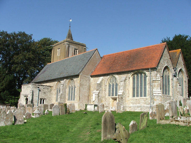


East Peckham, United Kingdom
East Peckham is a town of 2,485 people in England, United Kingdom.
Why visit East Peckham
Townapedia lists 2 museums and landmarks, 2 parks and trails and 14 places to eat in and around town.
Highlights include Teapot Island and Foal Hurst Wood.
Weather in East Peckham
Forecast from MET Norway (CC BY 4.0). Full forecast
About East Peckham
East Peckham is a village and civil parish in Kent, England on the River Medway. The parish covers the main village as well as Hale Street and Beltring.
From the Wikipedia article East Peckham (this version), under CC BY-SA 4.0.
Museums and landmarks2

Teapot Island
Monument and historic site · 1.5 mi
Tourist attraction dedicated to teapots
Hampstead Lane, Yalding
Parks, trails and playgrounds2


Restaurants and cafes14
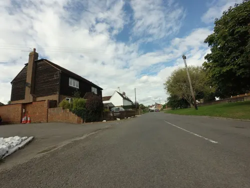
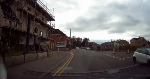
The Village Coffee and Wine Bar
Cafe · Cake, Coffee Shop, Local, Sausage, Meat, Tea
1 Pound Road, Tonbridge
Tu-Sa 09:00-22:00; Su 10:00-18:00
The Pound Fish Bar
Fast food · Fish And Chips
7 Old Road
Fr-Sa 11:30-14:00; Mo 17:00-20:30; PH open "the times can vary";...
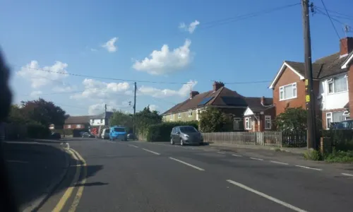



2 more on the map.
Churches and places of worship11

Church of the Holy Trinity
Church · 0.4 mi
Church building in East Peckham, Tonbridge and Malling, Kent, England, UK
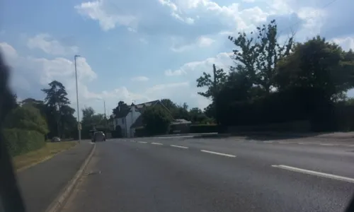
St Andrew's Church, Paddock Wood
Church · 2.5 mi
Church in Paddock Wood, Kent, England, UK

St Lawrence's Church, Mereworth
Church · 3.2 mi
Church in Mereworth, Kent, England, UK

St Michael's Church, East Peckham
Church · 2.2 mi
Church in East Peckham, Tonbridge and Malling, Kent, England, UK
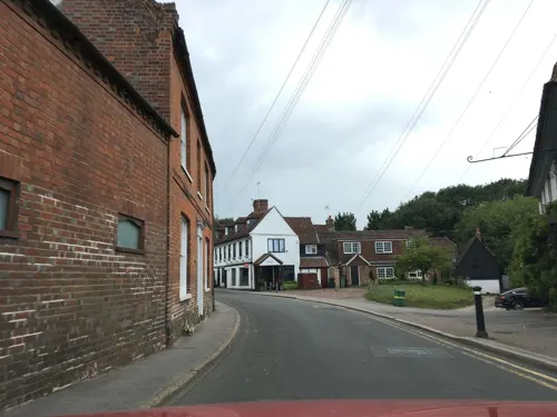
St Peter's and St Paul's Church, Yalding
Church · 2.1 mi
Grade I listed church in Yalding, Maidstone, Kent, England, UK
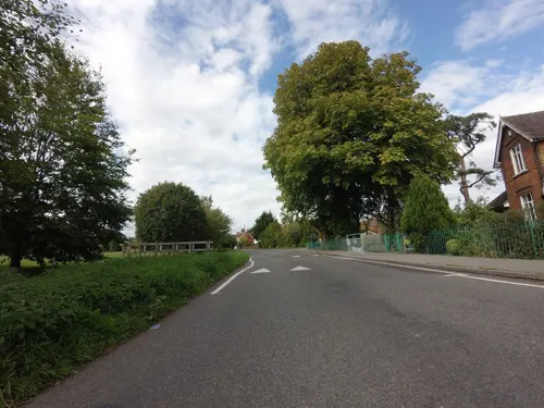

Church of St Thomas à Becket, Capel
Church · 3.2 mi
Church in Capel, Kent, England, UK
St Mary's Church, Hadlow
Church · 2.2 mi
Church in Hadlow, Kent, England, UK
St Mary's Church, Nettlestead
Church · 2.4 mi
Church in Nettlestead, Kent, England, UK
History
At the time of the Domesday survey in 1096, about 33 households were in East Peckham, in the ancient hundred of Littlefield, Lathe of Aylesford, West Kent.
The Archbishop himself holds Pecheham, In the time of King Edward the Confessor it was taxed at six sulungs, and now six sulungs and one yoke. The arable land is ten carucates. In demesne there are two, and sixteen villeins, with fourteen borderers, having four carucates and a half. There is a church, and ten servants, and one mill, and six acres of meadow. Wood for the pannage of six hogs.
Of the land of this manor, one of the archbishop's tenants holds half a sulung, and was taxed with these six sulungs in the time of King Edward the Confessor, although it could not belong to the manor, except in the scotting, because it was free land.
Richard de Tonebridge holds of the same favour two sulungs and one yoke, and has there twenty-seven villeins, having seven carucates, and wood for the pannage of ten hogs. The whole value being four pounds. In the time of King Edward the Confessor, the manor was worth twelve pounds, when the Archbishop received it eight pounds, and now what he has is worth eight pounds.
Part of the manor of East Farleigh lay within what is now East Peckham.
Read more of the history
Ralph Fitz Turold holds of the bishop (of Baieux) half a sulung in Estockingeberge. In the time of King Edward the Confessor, two Freemen held it, and then like now, and it is valued at twenty shillings.
There is a persistent myth that the village was originally around the far northern border with Mereworth. Sheet 80 of the First Edition One-Inch Ordnance Survey map published on 1 January 1819 shows the village as being two miles north east as St Michael's church stands on high ground there, now cared for by the Churches Conservation Trust and open daily. In the mid-nineteenth century the new parish church of the Holy Trinity was built in what had for centuries been, and likely since the first multi-family settlement arose, the parish population centre. The architects were Whichcord and Walker of Maidstone, and the foundation stone was laid on 24 October 1840.
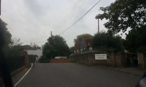
The River Bourne joins the Medway in the south of the parish and powered a watermill, Little Mill. Another watermill on the River Medway stood at Branbridges. Large, populated parts used to flood with unusual frequency among parishes along the Medway. The East Peckham Flood Relief partnership was formed in 2003. A dam since 2005 exists on the Coult Stream at Bullen Farm. It is 160 metres (170 yd) long and 4 metres (13 ft) high and has the capacity to hold 80,000 cubic metres (18,000,000 imp gal) of floodwater. The scheme cost just over £1 million.
In 2012, a local amateur theatre group, The Russett Players, was formed in the village.
From the History section of East Peckham on Wikipedia, under CC BY-SA 4.0.
Notable people from East Peckham
- Roger TwysdenEnglish politician (1597-1672)
- Frank Lipscombcricketer (1863-1951)
Born in East Peckham, according to Wikidata (CC0). Each name links to its Wikipedia article.
Gas and EV charging1
Schools, colleges and libraries3
Laddingford St Mary's Church of England Voluntary Controlled Primary School
School · Anglican · 1.5 mi
Darman Lane, Maidstone
Healthcare1
Map of East Peckham
34 places. The map loads OpenStreetMap tiles when you open it.
Getting there and nearby towns
Rochester Airport (RCS) is the nearest airport with scheduled flights listed in OpenStreetMap, 11 miles away.
- Yalding 2 mi northeast, about 3 min by car
- Five Oak Green 2 mi southwest, about 4 min by car
- Wateringbury 3 mi northeast, about 5 min by car
- Brenchley 4 mi south, about 7 min by car
- Tonbridge 5 mi west, about 8 min by car
- Marden 5 mi southeast, about 8 min by car
- Horsmonden 5 mi south, about 9 min by car
- West Malling 6 mi north, about 9 min by car
- Maidstone 7 mi northeast, about 11 min by car
- Royal Tunbridge Wells 8 mi southwest, about 12 min by car
Drive times are estimates from straight-line distance, not routes.
Towns near East Peckham


Keep exploring
Local news
Headlines from INDB.
Reviews, tips and questions
Loading what members have shared...
Sources and licences
- GeoNames (CC BY 4.0): population, coordinates, regions and time zone
- Mapillary (see each image): photos
- OpenStreetMap contributors (ODbL 1.0): places, airports, map data
- Wikidata (CC0 1.0): elevation, founding date, time zone, website, landmarks and historic places
- Wikimedia Commons (see each image): photos
- Wikipedia (CC BY-SA 4.0): overview and history text
Photo credits
- East Peckham library (32151333066), JuliaC2006 from Rochester, UK, CC BY 2.0
- StMichaels EastPeckham, Efficacy at English Wikipedia, Public domain
- Church of St. Lawrence, Mereworth, Tonbridge and Malling, Kent, United Kingdom, Christopher Nicol, CC BY-SA 3.0
- Holy Trinity Church, East Peckham (NHLE Code 1070728), The Voice of Hassocks, CC0
- Street-level photo, tallguy, CC BY-SA 4.0
- Street-level photo, tallguy, CC BY-SA 4.0
- Street-level photo, tallguy, CC BY-SA 4.0
- Street-level photo, southglos, CC BY-SA 4.0
- Street-level photo, paulbiv, CC BY-SA 4.0
- Street-level photo, tallguy, CC BY-SA 4.0
- Street-level photo, paulbiv, CC BY-SA 4.0
- Street-level photo, tallguy, CC BY-SA 4.0
- Street-level photo, paulbiv, CC BY-SA 4.0
- Street-level photo, paulbiv, CC BY-SA 4.0
- Street-level photo, tallguy, CC BY-SA 4.0
- Street-level photo, tallguy, CC BY-SA 4.0
- Street-level photo, tallguy, CC BY-SA 4.0
Page built November 10, 2026. Spotted a mistake? Tell us or suggest a place.