


Why visit Wrotham
Townapedia lists 4 museums and landmarks, 2 parks and trails, 11 places to eat and 2 places to stay in and around town.
Highlights include Coldrum Long Barrow, Old Soar Manor, Ivy Hatch Nature Reserve and Trosley Country Park.
Weather in Wrotham
Forecast from MET Norway (CC BY 4.0). Full forecast
About Wrotham
Wrotham is a village on the Pilgrims' Way in Kent, England, at the foot of the North Downs. It is 1 mile (1.6 km) north of Borough Green and approximately 5 miles (8 km) east of Sevenoaks. It is between the M20 and M26 motorways.
From the Wikipedia article Wrotham (this version), under CC BY-SA 4.0.
Museums and landmarks4

Coldrum Long Barrow
Museum · 2.9 mi
Neolithic chambered long barrow near Trottiscliffe, Kent, England, UK

Old Soar Manor
Museum · 3.2 mi
Historic house museum in Plaxtol, Kent, England, UK

Oldbury rock shelters
Monument and historic site · 2.3 mi
Palaeolithic rock shelters
Parks, trails and playgrounds2


Restaurants and cafes11
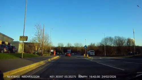
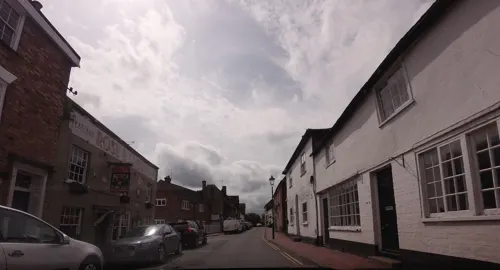
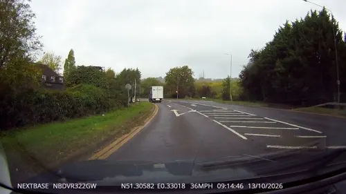
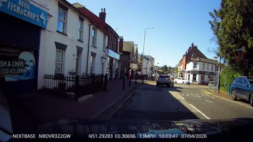



Where to stay2

History
The name first occurs as Uurotaham in the year 788, meaning 'homestead of a man called Wrōta'.
The offshoot village on Wrotham Heath at the heart of the heath of the same name, once an area of wholly common land, is 1+1⁄2 miles (2.4 km) to the south-east.
Wrotham shows extensive signs of occupation by the Romans and it is posited that the Wrotham Pinot, a disease-resistant variety of the Pinot noir grape found in Wrotham churchyard, is descended from vines brought by the Romans.
The church of St George is Early English and later; nearby is the site of a palace of the Archbishop of Canterbury, maintained until the time of Archbishop Simon Islip (c. 1350).
Wrotham Hill to the north was a main measuring point for the 18th-century trigonometric survey linking the Greenwich Royal Observatory with the Paris Observatory. This Anglo-French Survey (1784–1790) was led by General William Roy.
Close by is the Wrotham transmitting station which was the first transmitter in the UK to broadcast FM radio in 1955 and now carries the main FM and DAB radio services for most of London and Kent.
The parish of Wrotham formed a major part of the Hundred of Wrotham, forming 58% of its area and 61% of its population (1891)
The area and population of each parish and the totals for the Hundred were as follows:
The Hundred of Wrotham was one of the hundreds of the Lathe of Aylesford.
From the History section of Wrotham on Wikipedia, under CC BY-SA 4.0.
More about Wrotham
Economy
At the 2001 UK census, 39.5% of the village's residents aged 16–74 were employed full-time, 12.9% employed part-time, 14.1% self-employed and 1.6% unemployed, while 1.9% were students with jobs, 3.4% students without jobs, 14.3% retired, 8.0% looking after home or family, 2.5% permanently sick or disabled and 1.9% economically inactive for other reasons. Compared to national figures, the village had a low rate of unemployment, and a high proportion of self-employed workers.
Employment by industry was 16% retail; 14% real estate; 13% manufacturing; 10% construction; 8% health and social work; 8% education; 7% transport and communications; 5% finance; 5% hotels and restaurants; 3% public administration; 3% agriculture; 1% energy and water supply; and 6% other. Compared to national figures, Wrotham had a high percentage of workers in agriculture; energy and water supply; hotels and restaurants; and construction. It had a low percentage in health and social work; and public administration.
According to Office for National Statistics estimates, the average gross income of households in Wrotham between April 2001 and March 2002 was £770 per week (£40,000 per year).
From the Wikipedia article Wrotham, under CC BY-SA 4.0.
Notable people from Wrotham
 Alfred SakerBritish missionaryPhoto: JNicolasKONDAYANSA, Public domain
- Henry Hardinge, 1st Viscount HardingeBritish politician (1785-1856)
- Pattee Byng, 2nd Viscount TorringtonMember of the Parliament of Great Britain
- John Fullerton EvettsBritish Army general
- Joan MorrisonAustralian cartoonist
Born in Wrotham, according to Wikidata (CC0). Each name links to its Wikipedia article.
Churches and places of worship6
Borough Green Baptist Church
Church · Baptist · 1.2 mi
High Street, Borough Green
Shopping3
Gas and EV charging2
Schools, colleges and libraries6
Platt Church of England Voluntary Aided Primary School
School · Anglican · 1.3 mi
Maidstone Road, Sevenoaks
St George's Church of England Voluntary Controlled Primary School
School · Anglican
Old London Road, Wrotham
Healthcare1
Map of Wrotham
37 places. The map loads OpenStreetMap tiles when you open it.
Getting there and nearby towns
Rochester Airport (RCS) is the nearest airport with scheduled flights listed in OpenStreetMap, 9 miles away.
- Hartley 5 mi north, about 9 min by car
- Sevenoaks 6 mi southwest, about 9 min by car
- Longfield 6 mi north, about 10 min by car
- Snodland 6 mi east, about 10 min by car
- Halling 7 mi northeast, about 11 min by car
- Horton Kirby 7 mi northwest, about 11 min by car
- Wouldham 7 mi northeast, about 11 min by car
- Tonbridge 8 mi south, about 13 min by car
- Swanley 8 mi northwest, about 14 min by car
- Maidstone 9 mi east, about 15 min by car
Drive times are estimates from straight-line distance, not routes.
Towns near Wrotham


Keep exploring
Local news
Headlines from INDB.
Reviews, tips and questions
Loading what members have shared...
Sources and licences
- GeoNames (CC BY 4.0): population, coordinates, regions and time zone
- Mapillary (see each image): photos
- OpenStreetMap contributors (ODbL 1.0): places, airports, map data
- Wikidata (CC0 1.0): elevation, founding date, time zone, website, landmarks and historic places
- Wikimedia Commons (see each image): photos
- Wikipedia (CC BY-SA 4.0): overview and history text
Photo credits
- Wrotham3602, Clem Rutter, Rochester Kent, CC BY-SA 3.0
- Wrotham3605, Clem Rutter, Rochester Kent, CC BY-SA 3.0
- Wrotham3604, Clem Rutter, Rochester Kent, CC BY-SA 3.0
- Wrotham3608, Clem Rutter, Rochester Kent, CC BY-SA 3.0
- Old Soar Manor, Christopher Nicol, CC BY-SA 3.0
- The Southern Rock Shelter on Oldbury Hill, Ethan Doyle White, CC BY-SA 4.0
- Ivy Hatch nature reserve 7, Dudley Miles, CC BY-SA 4.0
- Church of St Peter and St Paul, Trottiscliffe, Tonbridge & Malling, Kent 1, Christopher Nicol, CC BY-SA 3.0
- Church of St. George, Wrotham, Tonbridge & Malling, Kent, Christopher Nicol, CC BY-SA 3.0
- StMaryPlatt3613, Clem Rutter, Rochester Kent, CC BY-SA 3.0
- Borough Green library (30705746548), JuliaC2006 from Rochester, UK, CC BY 2.0
- Coldrum Long Barrow overlooking landscape, Ethan Doyle White, CC BY-SA 3.0
- Street-level photo, tallguy, CC BY-SA 4.0
- Street-level photo, lvl5, CC BY-SA 4.0
- Street-level photo, tallguy, CC BY-SA 4.0
- Street-level photo, tallguy, CC BY-SA 4.0
- Street-level photo, southglos, CC BY-SA 4.0
- Street-level photo, tallguy, CC BY-SA 4.0
- Street-level photo, tallguy, CC BY-SA 4.0
- Street-level photo, tallguy, CC BY-SA 4.0
- Street-level photo, tallguy, CC BY-SA 4.0
- Street-level photo, tallguy, CC BY-SA 4.0
- Street-level photo, paulbiv, CC BY-SA 4.0
- Street-level photo, tallguy, CC BY-SA 4.0
- Street-level photo, tallguy, CC BY-SA 4.0
- Street-level photo, tallguy, CC BY-SA 4.0
- Street-level photo, tallguy, CC BY-SA 4.0


Page built November 10, 2026. Spotted a mistake? Tell us or suggest a place.