


Why visit Yalding
Townapedia lists 4 museums and landmarks, 6 parks and trails, 10 places to eat, 3 places to stay and 2 attractions in and around town.
Highlights include East Farleigh Bridge, Teston Bridge, Teapot Island and Nettlestead Place.
Weather in Yalding
Forecast from MET Norway (CC BY 4.0). Full forecast
About Yalding
Yalding is a village and civil parish in the Borough of Maidstone in Kent, England. The village is situated 6 miles (9.7 km) south west of Maidstone at a point where the Rivers Teise and Beult join the River Medway. At the 2001 census, the parish, which includes the villages of Benover to the southeast, Laddingford to the southwest and Queen Street, had a population of 2,236. increasing to 2,418 at the 2011 Census.
From the Wikipedia article Yalding (this version), under CC BY-SA 4.0.
Things to do2
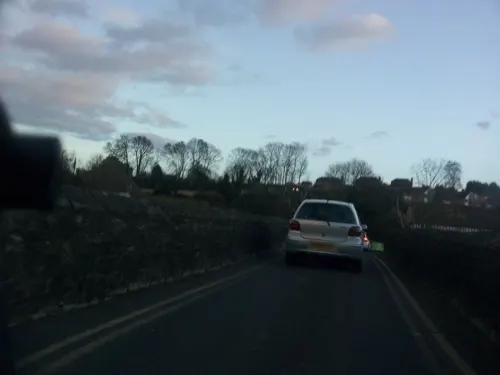
East Farleigh Bridge
Bridge · 3.2 mi
Grade I listed bridge in Kent, England, UK

Teston Bridge
Bridge · 2.2 mi
Grade I listed bridge in Teston, Kent, England
Museums and landmarks4
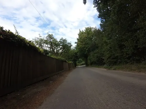
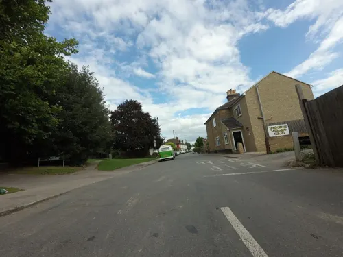

Teapot Island
Monument and historic site · 0.5 mi
Tourist attraction dedicated to teapots
Hampstead Lane, Yalding
Parks, trails and playgrounds6


Restaurants and cafes10
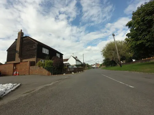

Sage & Time Cafe
Cafe · 1.1 mi
Kenward Road, Maidstone
Mo-Fr 10:16-16:00; Sa 11:00-15:00
History
The name Yalding is generally derived from the Old English group name *Ealdingas, meaning "(settlement of) the people of a man called Ealda", formed from the personal name Ealda and the suffix -ingas. Recorded forms include Alding in 1161–2, Ealding' in 1207 and Yaldyng in 1451. Writing in 1798, Edward Hasted noted that the parish was "antiently written Ealding", which he took to mean "the antient meadow or low ground", an interpretation not followed by later place-name scholars. The National Archives' catalogue of Great Domesday Book records the Domesday place name for Yalding as Hallinges, on folio 14r, while Hasted's translation of the entry renders it Ealdinges. By 1642 the name was written Yaldinge.
A local tradition holds that the first Saxon settlement, called Twyford ("two fords"), lay at the meeting of the Medway and the Teise and was moved to higher ground after flooding, but this is not supported by documentary evidence. Twyford was the name of the hundred in which most of the parish lay, and of the crossing of the Medway south-west of the village.
Read more of the history
In 1086 Yalding was held by Richard fitz Gilbert, also known as Richard de Tonbridge, as tenant-in-chief; before the Norman Conquest it had been held by Alred under King Edward. The manor was assessed at two sulungs and had land for 16 ploughs, with 1.5 lord's plough teams and 6 men's teams. Its 43 recorded households comprised 16 villagers, 12 smallholders and 15 slaves, placing it among the largest 20 per cent of settlements in the survey. It had 5 acres of meadow, woodland for 150 pigs, two mills worth £1 5s, four fisheries and two churches, which Hasted identified as Yalding and Brenchley. Hasted's translation gives the fisheries' render as 1,700 eels less twenty. The manor's value had fallen from £30 in 1066 to £20 in 1086, and it was recorded as partly waste.
Yalding remained with Richard fitz Gilbert's descendants, the de Clare family, later earls of Gloucester and Hertford. Under Edward I Gilbert de Clare was allowed all the privileges of a manor there. Surviving estate accounts for 1299–1300, 1307–08 and 1317–20 show that Yalding yielded the Clares more than £79 in 1300 and £66 19s 6d by 1320. After Gilbert de Clare was killed at the Battle of Bannockburn in 1314, the Clare inheritance was divided among his three sisters, and Yalding passed to Margaret and her husband Hugh de Audley. In the twelfth year of Edward II Audley obtained a weekly market and a three-day fair for the manor, held on the vigil, day and morrow of the feast of St Peter and St Paul. A fair was held on the Lees beside Twyford Bridge from 1339. On Audley's death in 1347 the manor passed through his daughter Margaret to her husband Ralph Stafford, created Earl of Stafford in 1350, and it descended in the Stafford family to the dukes of Buckingham.
Within the parish lay several lesser manors, including Woodfolde, Lodingford (alias Bermondsey), Jennings Court and Henhurst, held of the Clare earls by knight service. The manor of Bockingfold, on the southern edge of the parish, had a free chapel and an extensive park. Edward II stayed there in the nineteenth year of his reign, before leaving for France, and ordered the indictment of those who had hunted unlawfully in the park.
Richard de Clare, Earl of Hertford gave the church of Yalding, with the chapel of Brenchley, to Tonbridge Priory, which he had founded. Gilbert Glanvill, Bishop of Rochester, confirmed the appropriation and ordained a vicarage; Laurence, presented in 1184, was the first vicar. The present Church of St Peter and St Paul was begun in the 13th century and is a Grade I listed building. When the priory was suppressed in 1525 for Cardinal Wolsey's college at Oxford, the church passed to that foundation, and to the Crown after Wolsey's fall in 1529. In the tenth year of Elizabeth I the rectory and advowson were leased to John Warde at £30 a year, and in the reign of James I they passed to his son Ambrose Warde.
Yalding stands at the confluence of the Medway, the Beult and the Teise, and the low ground near the rivers was prone to flooding. Twyford Bridge, which carries the road over the Medway south-west of the village, was first scheduled as a monument on 5 December 1928. It has four pointed arches, is about 4 metres wide and spans about 55 metres across the Medway. A bridge is recorded there in 1325 and in wills of 1475 and 1488. In 1600 the bridge was presented at the Maidstone sessions as being in bad repair, its upkeep falling on the inhabitants of Twyford hundred. Town Bridge, the ragstone bridge over the Beult in the village, dates from at least the 15th century and probably replaced a timber bridge. Money was left for its upkeep in wills of 1474 and 1475, and Historic England considers it the longest medieval bridge in Kent. Excavation in 1969 found that its foundations rested on brushwood, and the finds included a silver penny of Edward I. The antiquary John Leland, writing under Henry VIII, called Yalding "a praty townelet".
After the 2nd Duke of Buckingham was executed in 1483, Richard III granted the manor to Ralph Banister, who had betrayed him. It was restored to the Staffords under Henry VII. When Edward Stafford, 3rd Duke of Buckingham, was executed for treason in 1521, Yalding was forfeited to the Crown. Henry VIII granted it the same year to Charles Somerset, 1st Earl of Worcester, who sold it to George Nevill, Lord Bergavenny. It remained with the Nevill family until a later Lord Bergavenny sold it; it then passed to the Freers of Westmeston in Sussex, who sold it around 1670. The Court Lodge and the demesne lands had by then been separated from the manor. According to local research cited in the Yalding Project, an epidemic in 1510 killed more than half of the village's inhabitants, possibly from plague or sweating sickness.
From the History section of Yalding on Wikipedia, under CC BY-SA 4.0.
More about Yalding
Education
The village primary school is St Peter's and St Paul's Church of England Primary School. At secondary level, the school is in the Mascalls Academy Comprehensive catchment area. However, the village is home to many children who attend grammar schools in the neighbouring town of Maidstone.
From the Wikipedia article Yalding, under CC BY-SA 4.0.
Notable people from Yalding
- Tony WestonEnglish footballer (born 1946)
Born in Yalding, according to Wikidata (CC0). Each name links to its Wikipedia article.
Where to stay3
Churches and places of worship14
Schools, colleges and libraries4
Yalding St. Peter and St. Paul Church of England Voluntary Controlled Primary School
School · Anglican
Vicarage Road, Maidstone
Laddingford St Mary's Church of England Voluntary Controlled Primary School
School · Anglican · 1.4 mi
Darman Lane, Maidstone
Map of Yalding
43 places. The map loads OpenStreetMap tiles when you open it.
Getting there and nearby towns
Rochester Airport (RCS) is the nearest airport with scheduled flights listed in OpenStreetMap, 9 miles away.
- Maidstone 5 mi northeast, about 8 min by car
- Tonbridge 7 mi west, about 11 min by car
- Snodland 7 mi north, about 12 min by car
- Royal Tunbridge Wells 10 mi southwest, about 15 min by car
- Sissinghurst 10 mi southeast, about 16 min by car
- Sevenoaks 11 mi west, about 18 min by car
- Chatham 12 mi north, about 19 min by car
- Rochester 12 mi north, about 19 min by car
- Hartley 12 mi northwest, about 20 min by car
- Gillingham 13 mi northeast, about 20 min by car
Drive times are estimates from straight-line distance, not routes.
Towns near Yalding


Keep exploring
Local news
Headlines from INDB.
Reviews, tips and questions
Loading what members have shared...
Sources and licences
- GeoNames (CC BY 4.0): population, coordinates, regions and time zone
- Mapillary (see each image): photos
- OpenStreetMap contributors (ODbL 1.0): places, airports, map data
- Wikidata (CC0 1.0): elevation, founding date, time zone, website, landmarks and historic places
- Wikimedia Commons (see each image): photos
- Wikipedia (CC BY-SA 4.0): overview and history text
Photo credits
- Yalding0649, Clem Rutter, Rochester, Kent., CC BY 2.5
- YaldingBeult0517, Clem Rutter, Rochester, Kent., CC BY 2.5
- YaldingBeult0515, Clem Rutter, Rochester, Kent., CC BY 2.5
- YaldingBeult0512, Clem Rutter, Rochester, Kent., CC BY 2.5
- YaldingHovis0518, Clem Rutter, Rochester, Kent., CC BY 2.5
- YaldingTwyford0529, Clem Rutter, Rochester, Kent., CC BY 2.5
- All Saints Church, West Farleigh, Sunhyll at en.wikipedia, Public domain
- St Peter and St Paul, Teston 01, Poliphilo, CC0
- Holy Trinity Church, East Peckham (NHLE Code 1070728), The Voice of Hassocks, CC0
- Church of St. Lawrence, Mereworth, Tonbridge and Malling, Kent, United Kingdom, Christopher Nicol, CC BY-SA 3.0
- StMichaels EastPeckham, Efficacy at English Wikipedia, Public domain
- Street-level photo, paulbiv, CC BY-SA 4.0
- Street-level photo, tallguy, CC BY-SA 4.0
- Street-level photo, southglos, CC BY-SA 4.0
- Street-level photo, paulbiv, CC BY-SA 4.0
- Street-level photo, paulbiv, CC BY-SA 4.0
- Street-level photo, southglos, CC BY-SA 4.0
- Street-level photo, southglos, CC BY-SA 4.0
- Street-level photo, tallguy, CC BY-SA 4.0
- Street-level photo, paulbiv, CC BY-SA 4.0
- Street-level photo, paulbiv, CC BY-SA 4.0
- Street-level photo, tallguy, CC BY-SA 4.0
- Street-level photo, tallguy, CC BY-SA 4.0
- Street-level photo, tallguy, CC BY-SA 4.0
- Street-level photo, tallguy, CC BY-SA 4.0
- Street-level photo, paulbiv, CC BY-SA 4.0
- Street-level photo, tallguy, CC BY-SA 4.0
- Street-level photo, tallguy, CC BY-SA 4.0
- Street-level photo, tallguy, CC BY-SA 4.0


Page built November 10, 2026. Spotted a mistake? Tell us or suggest a place.