


West Malling, United Kingdom
West Malling is a town of 2,266 people in England, United Kingdom.
Why visit West Malling
Townapedia lists 10 museums and landmarks, 11 parks and trails, 50 places to eat, 2 places to stay and 1 attraction in and around town.
Highlights include Teston Bridge, Coldrum Long Barrow, Quintain and Manor Park Country Park.
Weather in West Malling
Forecast from MET Norway (CC BY 4.0). Full forecast
About West Malling
West Malling ( MAW-ling, historically Town Malling) is a market town in the Tonbridge and Malling district of Kent, England. It has a population of 2,590.
From the Wikipedia article West Malling (this version), under CC BY-SA 4.0.
Photos of West Malling


Things to do1

Teston Bridge
Bridge · 3.2 mi
Grade I listed bridge in Teston, Kent, England
Museums and landmarks10

Coldrum Long Barrow
Museum · 2.5 mi
Neolithic chambered long barrow near Trottiscliffe, Kent, England, UK
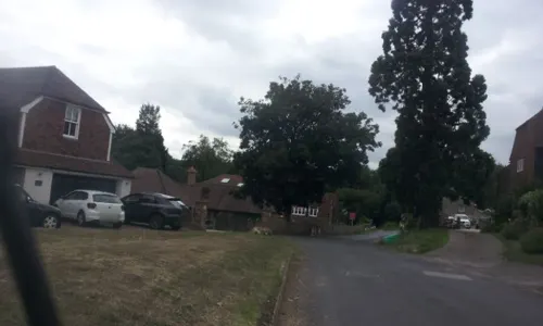


Eccles Roman Villa
Monument and historic site · 3.1 mi
Roman villa in the UK
The Airman
Monument and historic site · 1.4 mi
Royal Air Force West Malling Memorial. Unveiled on 9th June 2002 marking the site of RAF West Malling.
Gibson Drive
Milepost at NGR TQ6998558314
Monument and historic site · 1.2 mi
476 London Road, Ditton
Parks, trails and playgrounds11
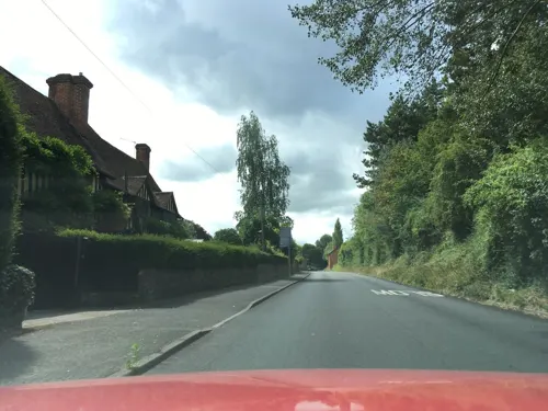
Manor Park Country Park
Park · 0.5 mi
Park in West Malling, Tonbridge and Malling, Kent, England


Restaurants and cafes50
The Food Shed
Cafe · Cake, Coffee Shop, Local, Sausage, Meat, Tea · 1.1 mi
Teston Road, West Malling
Mo-Fr,Su 10:00-15:00
Costa
Cafe · Coffee Shop · 1.5 mi
1 Queen Street, West Malling
Mo-Fr 06:30-18:30; Sa 07:00-18:30; Su 08:30-17:30




38 more on the map.
Notable people from West Malling
 Joseph BennettEnglish champion player of English billiards and non-fiction authorPhoto: Unknown author Unknown author, Public domain
 William Dorrintoncricketer (1809-1848)Photo: Westminter Govt Archives, Public domain
- Colin Brookscyclist
- Aretas Akers-Douglas, 1st Viscount ChilstonBritish politician
- Cecil Wingfield-StratfordEnglish footballer (1853-1939)
- John Baker WhiteBritish politician (1902-1988)
- Nicholas BrowneBritish diplomat (1947-2014)
- David HoareEnglish cricketer (1934-2002)
- Alban DorrintonEnglish cricketer (1800-1872)
- Ena May NeillBritish head teacher
- Gladys WrightEnglish promoter of women's physical education
Born in West Malling, according to Wikidata (CC0). Each name links to its Wikipedia article.
Where to stay2
Churches and places of worship16
Shopping5
Gas and EV charging2
Schools, colleges and libraries16
Leybourne St Peter and St Paul Church of England Primary Academy
School · Anglican · 1.0 mi
Rectory Lane North, West Malling
Healthcare4
Map of West Malling
117 places. The map loads OpenStreetMap tiles when you open it.
Getting there and nearby towns
Rochester Airport (RCS) is the nearest airport with scheduled flights listed in OpenStreetMap, 6 miles away.
- Snodland 3 mi northeast, about 5 min by car
- Burham 4 mi northeast, about 7 min by car
- Halling 4 mi north, about 7 min by car
- Wrotham 4 mi west, about 7 min by car
- Wouldham 4 mi northeast, about 7 min by car
- Maidstone 5 mi east, about 8 min by car
- Yalding 5 mi south, about 8 min by car
- Chatham 8 mi northeast, about 13 min by car
- Rochester 8 mi northeast, about 12 min by car
- Hartley 8 mi northwest, about 13 min by car
Drive times are estimates from straight-line distance, not routes.
Towns near West Malling


Keep exploring
Local news
Headlines from INDB.
Reviews, tips and questions
Loading what members have shared...
Sources and licences
- GeoNames (CC BY 4.0): population, coordinates, regions and time zone
- Mapillary (see each image): photos
- OpenStreetMap contributors (ODbL 1.0): places, airports, map data
- Wikidata (CC0 1.0): elevation, founding date, time zone, website, landmarks and historic places
- Wikimedia Commons (see each image): photos
- Wikipedia (CC BY-SA 4.0): overview and history text
Photo credits
- The Beatles Magical Mystery Tour - Rain Grill 90 High Street West Malling Kent ME19 6NE, Spudgun67, CC BY-SA 4.0
- Church House 138 High Street West Malling Kent ME19 6NE, Spudgun67, CC BY-SA 4.0
- Brome House 148 High Street West Malling Kent ME19 6NE, Spudgun67, CC BY-SA 4.0
- Burham Marsh 4, Dudley Miles, CC BY-SA 4.0
- Church of All Saints, Snodland, Tonbridge & Malling, Kent, Christopher Nicol, CC BY-SA 3.0
- All Saints Church, West Farleigh, Sunhyll at en.wikipedia, Public domain
- St Peter and St Paul, Teston 01, Poliphilo, CC0
- Church of St Peter and St Paul, Trottiscliffe, Tonbridge & Malling, Kent 1, Christopher Nicol, CC BY-SA 3.0
- Church of St. Lawrence, Mereworth, Tonbridge and Malling, Kent, United Kingdom, Christopher Nicol, CC BY-SA 3.0
- St James the Great's Church, East Malling (NHLE Code 1099148), The Voice of Hassocks, CC0
- St Michael church Offham, Kent, Glen from United Kingdom, CC BY 2.0
- St. Martins Church, Ryarsh, Kent, Glen, CC BY 2.0
- Church of St Mary, West Malling - view from SE, Tom Parnell, CC BY-SA 4.0
- St Leonard's Tower 01, Simon Burchell, CC BY-SA 4.0
- 1209081 II 15, HIGH STREET West Malling 20250824 0006, Tilman2007, CC BY-SA 4.0
- 1209083 II 20, HIGH STREET West Malling 20250824 0001, Tilman2007, CC BY-SA 4.0
- St Leonard's Tower, West Malling, Poliphilo, CC0
- The Beatles 1960s rock band filmed the start of The Magical Mystery Tour here 1967, Spudgun67, CC BY-SA 4.0
- Capt Charles John Moore Mansfield, RN 1760 - 1813 Captain of HMS Minotaur at the Battle of Trafalgar Lived Here, Spudgun67, CC BY-SA 4.0
- Willie Emerson Dedrick JP 1887 - 1965 High Sheriff of Kent lived here, Spudgun67, CC BY-SA 4.0
- Coldrum Long Barrow overlooking landscape, Ethan Doyle White, CC BY-SA 3.0
- Street-level photo, paulbiv, CC BY-SA 4.0
- Street-level photo, paulbiv, CC BY-SA 4.0
- Street-level photo, southglos, CC BY-SA 4.0
- Street-level photo, southglos, CC BY-SA 4.0
- Street-level photo, southglos, CC BY-SA 4.0
- Street-level photo, richardc, CC BY-SA 4.0
- Street-level photo, paulbiv, CC BY-SA 4.0
- Street-level photo, paulbiv, CC BY-SA 4.0
- Street-level photo, richardc, CC BY-SA 4.0
- Street-level photo, southglos, CC BY-SA 4.0
- Street-level photo, EstSsxKt, CC BY-SA 4.0
- Street-level photo, tallguy, CC BY-SA 4.0
- Street-level photo, southglos, CC BY-SA 4.0
- Street-level photo, paulbiv, CC BY-SA 4.0
- Street-level photo, southglos, CC BY-SA 4.0
- Street-level photo, tallguy, CC BY-SA 4.0
- Street-level photo, EstSsxKt, CC BY-SA 4.0
- Street-level photo, paulbiv, CC BY-SA 4.0
- Street-level photo, paulbiv, CC BY-SA 4.0


Page built November 10, 2026. Spotted a mistake? Tell us or suggest a place.