


Kirk Sandall, United Kingdom
Kirk Sandall is a town of 13,572 people in England, United Kingdom.
Why visit Kirk Sandall
Townapedia lists 5 parks and trails, 18 places to eat and 2 places to stay in and around town.
Highlights include Thorpe Marsh Nature Reserve and Sandall Park.
Weather in Kirk Sandall
Forecast from MET Norway (CC BY 4.0). Full forecast
About Kirk Sandall
Kirk Sandall is an outer suburb of Doncaster, located around 4 miles (6.4 km) north-east of the city centre, in the civil parish of Barnby Dun with Kirk Sandall, in the county of South Yorkshire, England.
From the Wikipedia article Kirk Sandall (this version), under CC BY-SA 4.0.
Parks, trails and playgrounds5

Thorpe Marsh Nature Reserve
Park · 2.3 mi
Nature reserve in South Yorkshire, England

Sandall Park
Park · 1.4 mi
Park in Doncaster, South Yorkshire, England
Town Fields
Park · 3.4 mi
Park in Doncaster, South Yorkshire, England


Restaurants and cafes18




Subway
Fast food · Sandwich · 0.5 mi
Unit 1 Eden Field Road, Doncaster
Mo-Sa 09:00-21:30; Su 09:00-16:30
6 more on the map.
Where to stay2
Churches and places of worship6


Church of St Lawrence
Church · 3.0 mi
Church in Hatfield, South Yorkshire, England, UK
St Oswald's Church, Kirk Sandall
Church · 0.6 mi
Church in Kirk Sandall, South Yorkshire, England, UK

Notable people from Kirk Sandall
 Neil MallenderEnglish Test and County cricketer, umpirePhoto: Dave Morton, Public domain
- William RokebyBishop of Meath, Archbishop of Dublin and Lord Chancellor of Ireland
Born in Kirk Sandall, according to Wikidata (CC0). Each name links to its Wikipedia article.
Shopping6
Gas and EV charging3
Schools, colleges and libraries8
Healthcare3
Map of Kirk Sandall
51 places. The map loads OpenStreetMap tiles when you open it.
Getting there and nearby towns
Humberside Airport (HUY) is the nearest airport with scheduled flights listed in OpenStreetMap, 30 miles away.
- Doncaster 4 mi southwest, about 6 min by car
- Thorne 6 mi northeast, about 9 min by car
- South Elmsall 9 mi west, about 14 min by car
- Mexborough 10 mi southwest, about 17 min by car
- Maltby 11 mi southwest, about 18 min by car
- Wath upon Dearne 12 mi west, about 19 min by car
- Knottingley 13 mi northwest, about 20 min by car
- Rawmarsh 13 mi southwest, about 21 min by car
- Wombwell 14 mi west, about 22 min by car
- Rotherham 15 mi southwest, about 24 min by car
Drive times are estimates from straight-line distance, not routes.
Towns near Kirk Sandall


Keep exploring
Local news
Headlines from INDB.
Reviews, tips and questions
Loading what members have shared...
Sources and licences
- GeoNames (CC BY 4.0): population, coordinates, regions and time zone
- Mapillary (see each image): photos
- OpenStreetMap contributors (ODbL 1.0): places, airports, map data
- Wikidata (CC0 1.0): elevation, founding date, time zone, website, landmarks and historic places
- Wikimedia Commons (see each image): photos
- Wikipedia (CC BY-SA 4.0): overview and history text
Photo credits
- 158868 Kirk Sandall 170125, kitmasterbloke, CC BY 2.0
- 99709124002-5 Matisa track machine Kirk Sandall 170125, kitmasterbloke, CC BY 2.0
- 66733 "Cambridge PSB" Kirk Sandall 170125, kitmasterbloke, CC BY 2.0
- 185148 Kirk Sandall 170125, kitmasterbloke, CC BY 2.0
- 185111 Kirk Sandall 170125, kitmasterbloke, CC BY 2.0
- 170478 Kirk Sandall 170125, kitmasterbloke, CC BY 2.0
- Main Embankment at NMH (Thorpe Marsh Nature Reserve), NJLE17, CC BY-SA 4.0
- Hatfield Church South Yorkshire, Warofdreams, CC BY-SA 4.0
- St Oswald church Doncaster 1096606270, Alan from Doncaster, UK; uplaoad by Herrick 12:02, 1 September 2007 (UTC), CC BY-SA 2.0
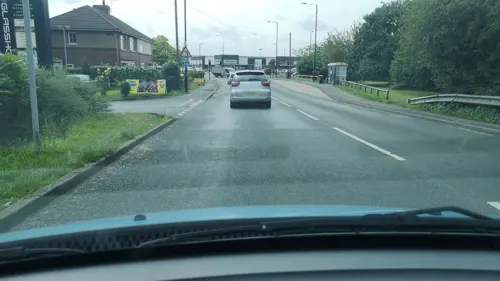
- Street-level photo, cuttlebug, CC BY-SA 4.0
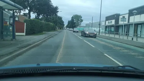
- Street-level photo, cuttlebug, CC BY-SA 4.0
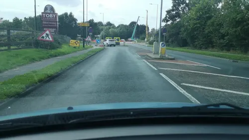
- Street-level photo, cuttlebug, CC BY-SA 4.0
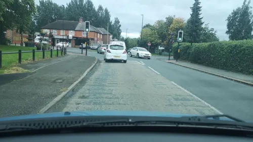
- Street-level photo, cuttlebug, CC BY-SA 4.0
- Street-level photo, cuttlebug, CC BY-SA 4.0
- Street-level photo, cuttlebug, CC BY-SA 4.0
- Street-level photo, cuttlebug, CC BY-SA 4.0
- Street-level photo, cuttlebug, CC BY-SA 4.0
- Street-level photo, cuttlebug, CC BY-SA 4.0
- Street-level photo, cuttlebug, CC BY-SA 4.0
- Street-level photo, cuttlebug, CC BY-SA 4.0
- Street-level photo, cuttlebug, CC BY-SA 4.0
Page built November 10, 2026. Spotted a mistake? Tell us or suggest a place.