


Llanfairpwllgwyngyll, United Kingdom
Llanfairpwllgwyngyll is a town of 2,900 people in Wales, United Kingdom.
Why visit Llanfairpwllgwyngyll
Townapedia lists 19 museums and landmarks, 11 parks and trails, 13 places to eat, 4 places to stay and 3 attractions in and around town.
Highlights include Britannia Bridge, Menai Suspension Bridge, Oriel Ger Y Fenai and Marquess of Anglesey's Column.
Weather in Llanfairpwllgwyngyll
Forecast from MET Norway (CC BY 4.0). Full forecast
About Llanfairpwllgwyngyll
Llanfairpwllgwyngyll or Llanfair Pwllgwyngyll (Welsh: [ɬan.ˌvair.puɬˈɡwɨ̞n.ɡɨ̞ɬ]), often shortened to Llanfairpwll and sometimes to Llanfair PG, is a village and community on the Isle of Anglesey, Wales. It is located on the Menai Strait, next to the Britannia Bridge. At the 2011 Census the population was 3,107, of whom 71% could speak Welsh. As of the 2021 census, the population had decreased to 2,900 (rounded to the nearest 100).
From the Wikipedia article Llanfairpwllgwyngyll (this version), under CC BY-SA 4.0.
Travel tips from other travellers: Llanfairpwllgwyngyll on Wikivoyage (CC BY-SA 4.0).
Photos of Llanfairpwllgwyngyll


Things to do3


Menai Suspension Bridge
Bridge · 1.7 mi
Bridge between Anglesey and mainland Wales

Museums and landmarks19
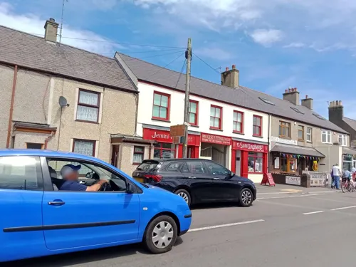
Oriel Ger Y Fenai
Museum
Ffordd Caergybi / Holyhead Road, Llanfairpwllgwyngyll
Mo-Sa 10:00-16:00; Su 10:00-14:00

Marquess of Anglesey's Column
Monument and historic site
Monument in Anglesey, Wales

Menai Heritage
Museum · 1.6 mi
Local history and technology museum in Anglesey, Wales, United Kingdom

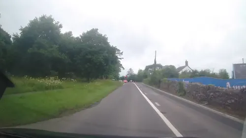
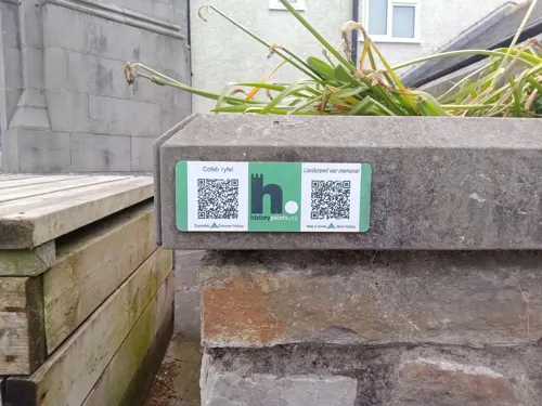

HMS Conway
Monument and historic site · 1.3 mi
Royal Navy training school
Pili Palas
Monument and historic site · 1.2 mi
Ffordd Penmynydd, Menai Bridge
10:00 - 17:30
7 more on the map.
Parks, trails and playgrounds11



Restaurants and cafes13
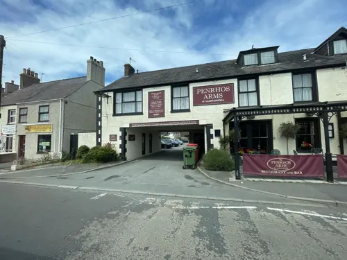
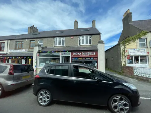
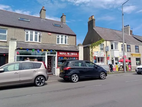
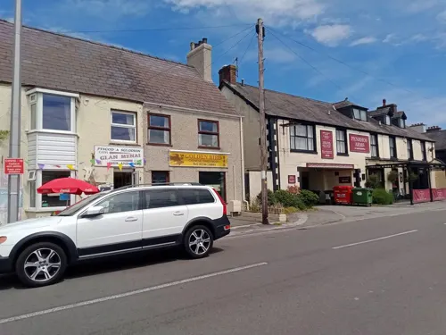
Glan Menai Cafe - Fish and Chips
Fast food · Fish And Chips
Ffordd Caergybi / Holyhead Road, Llanfairpwllgwyngyll
Mo-Su 12:00-20:30

Four Crosses
Bar and pub · 1.2 mi
Ffordd Penmynydd, Menai Bridge
Mo-Su 12:00-23:00

Sopna Tandoori
Restaurant · Indian · 1.3 mi
Ffordd Pentraeth, Menai Bridge
Mo-Sa 17:00-23:00; Su 15:00-23:00


1 more on the map.
History
The area has been settled since the Neolithic era (4000–2000 BC), with subsistence agriculture and fishing being the most common occupations for much of its early history. The island of Anglesey was at that point reachable only by boat across the Menai Strait. A largely destroyed, collapsed dolmen can be found from this period in the parish, located at Ty Mawr north of the present-day church; early Ordnance Survey maps show a long cairn on the site. The probable remains of a hillfort, with a fragmentary bank and ditch, were recorded on an outcrop known as Craig y Ddinas.
The area was briefly invaded and captured by the Romans under Gaius Suetonius Paulinus, temporarily abandoned in order to consolidate forces against Boudicca, then held until the end of Roman Britain.
Read more of the history
With the withdrawal of the Roman forces, the area fell under the control of the early medieval Kingdom of Gwynedd. There has likely been a small Christian religious site, perhaps a monastic cell, in the area since the 7th century. Surveys of the later medieval period show that the tenants of the township of Pwllgwyngyll, as it was then known, held a total of 9 bovates of land from the Bishop of Bangor under the feudal system. A church was built during the medieval period and dedicated to Mary, probably under Norman influence: the building, later demolished and replaced by a Victorian-era church, was unusual in having a semi-circular apse, a feature more usually associated with cathedrals. Despite religious activity, the rural nature of the settlement meant that the parish had a population of only around 80 in 1563.
Much of the land was absorbed into the Earldom of Uxbridge, which later became the Marquisate of Anglesey, and was subject to enclosures. In 1844, for example, 92% of the land in Llanfairpwll was owned by just three individuals. The population of the parish reached 385 by 1801.
In 1826, Anglesey was connected to the rest of Wales by the construction of the Menai Suspension Bridge by Thomas Telford, and connected with London in 1850 with the building of the Britannia Bridge and the busy North Wales Coast railway line, which connected the rest of Great Britain to the ferry port of Holyhead. The old village, known as 'Pentre Uchaf' ("upper village") was joined by new development around the railway station, which became known as 'Pentre Isaf', the "lower village".
The first meeting of the Women's Institute took place in Llanfairpwll in 1915, and the movement (which began in Canada) then spread through the rest of the British Isles.
From the History section of Llanfairpwllgwyngyll on Wikipedia, under CC BY-SA 4.0.
Notable people from Llanfairpwllgwyngyll
- Siobhán OwenAustralian singer and harpist
- Arfon WynWelsh singer
Born in Llanfairpwllgwyngyll, according to Wikidata (CC0). Each name links to its Wikipedia article.
Where to stay4
Churches and places of worship14
St. Mary's Llanfairpwllgwyngyll Parish Church
Church · Anglican · 0.5 mi
Shopping3
Gas and EV charging3
Schools, colleges and libraries8
Healthcare1
Map of Llanfairpwllgwyngyll
79 places. The map loads OpenStreetMap tiles when you open it.
Getting there and nearby towns
RAF Valley - Anglesey Airport (VLY) is the nearest airport with scheduled flights listed in OpenStreetMap, 14 miles away.
- Menai Bridge 1 mi east, about 2 min by car
- Bangor 3 mi east, about 5 min by car
- Llangefni 5 mi northwest, about 8 min by car
- Tregarth 5 mi southeast, about 8 min by car
- Llanfairfechan 10 mi east, about 16 min by car
- Penmaenmawr 12 mi east, about 19 min by car
- Penygroes 12 mi south, about 19 min by car
- Rhosneigr 13 mi west, about 21 min by car
- Valley 16 mi west, about 25 min by car
- Llandudno 17 mi northeast, about 27 min by car
Drive times are estimates from straight-line distance, not routes.
Towns near Llanfairpwllgwyngyll


Keep exploring
Local news
Headlines from INDB.
Reviews, tips and questions
Loading what members have shared...
Sources and licences
- GeoNames (CC BY 4.0): population, coordinates, regions and time zone
- Mapillary (see each image): photos
- OpenStreetMap contributors (ODbL 1.0): places, airports, map data
- Wikidata (CC0 1.0): elevation, founding date, time zone, website, landmarks and historic places
- Wikimedia Commons (see each image): photos
- Wikipedia (CC BY-SA 4.0): overview and history text
Photo credits
- Llanfairpwllgwyngyllgogerychwyrndrobwllllantysiliogogogoch railway station (7780981364), Peter Broster, CC BY 2.0
- Brittania Bridge, Anglesey, Cymru (Wales); June 2023, Llywelyn2000, CC BY-SA 4.0
- Pont y Borth (Menai Suspension Bridge) a godwyd gan Telford, rhwng Ynys Mon a Gwynedd; Mehefin 2023 12, Llywelyn2000, CC BY-SA 4.0
- Canolfan Thomas Telford Centre, Warrenkovach, CC BY-SA 4.0
- Our Lady and St James, Bangor, Andrew Woodvine from Bangor, CC BY-SA 2.0
- The former St Deiniol's Church, Llanddaniel Fab, Eric Jones, CC BY-SA 2.0
- St Edwen's Church from Plas Newydd estate, J Scott, CC BY-SA 2.0
- Eglwys Credifael, Penmynydd, 2007, GeraintTudur2, CC BY-SA 3.0
- Porthaethwy - Eglwys y Santes Fair Gradd II gan Cadw 04, Monsyn, CC BY-SA 4.0
- Bangor University (50555605717), Andrew Woodvine from Bangor, CC BY-SA 2.0
- St Mary's Church and surrounding area, Llanfairpwllgwyngyll - y Santes Fair; Ynys Môn, Cymru Wales 01, Llywelyn2000, CC BY-SA 4.0
- Church Of St. Tysilio, GeraintTudur2, CC BY-SA 3.0
- Treborth Botanical Garden 01, CV1958 (Colin Viney), CC BY-SA 4.0
- Plas Newydd tŷ rhestredig Gradd I yn Llanddaniel Fab, Ynys Môn - Grade I LB - Plas Newydd country house in Llanddaniel Fab Anglesey, Wales 44, Llywelyn2000, CC BY-SA 4.0
- Ysgol Llanfairpwll, CnauPell, CC BY-SA 4.0
- Ysgol Gynradd y Borth, Huwpritchard, CC BY-SA 3.0
- The Anglesey Arms, Huwpritchard, CC BY-SA 3.0
- Plas Newydd Anglesey House NW view, Waterborough, CC BY-SA 3.0
- St Tysilio's Church, Menai Bridge (7594), Nilfanion, CC BY-SA 4.0
- Brigantia, Bangor, 12xii, CC BY-SA 4.0
- Fron Heulog, Bangor, 12xii, CC BY-SA 4.0
- Front - plant (1), BangorWeb, CC BY-SA 4.0
- Shop in Wales.20170416 181536, Rc1959, CC0
- Llanfair P.G. (10456818755), grassrootsgroundswell, CC BY 2.0
- Llanfair P.G. (10456806386), grassrootsgroundswell, CC BY 2.0
- Colofn Ardalydd Môn, Llanfair Pwllgwyngyll, Ynys Môn - Marquess of Anglesey's Column monument in Anglesey, Wales 07, Llywelyn2000, CC BY-SA 4.0
- Plas Newydd Burial Chamber, Simon Cope, CC BY-SA 2.0
- Street-level photo, annekaro, CC BY-SA 4.0
- Street-level photo, trigpoint, CC BY-SA 4.0
- Street-level photo, debigc, CC BY-SA 4.0
- Street-level photo, noseinthewind, CC BY-SA 4.0
- Street-level photo, debigc, CC BY-SA 4.0
- Street-level photo, annekaro, CC BY-SA 4.0
- Street-level photo, trigpoint, CC BY-SA 4.0
- Street-level photo, annekaro, CC BY-SA 4.0
- Street-level photo, annekaro, CC BY-SA 4.0
- Street-level photo, annekaro, CC BY-SA 4.0
- Street-level photo, annekaro, CC BY-SA 4.0
- Street-level photo, annekaro, CC BY-SA 4.0
- Street-level photo, debigc, CC BY-SA 4.0
- Street-level photo, debigc, CC BY-SA 4.0
- Street-level photo, debigc, CC BY-SA 4.0
- Street-level photo, trigpoint, CC BY-SA 4.0
- Street-level photo, annekaro, CC BY-SA 4.0
- Street-level photo, debigc, CC BY-SA 4.0
- Street-level photo, noseinthewind, CC BY-SA 4.0


Page built November 10, 2026. Spotted a mistake? Tell us or suggest a place.