


Why visit Llangeler
Townapedia lists 28 museums and landmarks, 6 parks and trails, 21 places to eat, 9 places to stay and 5 attractions in and around town.
Highlights include The Bridge, bridge Street, Attic Theatre, West Wales Museum of Childhood and Newcastle Emlyn Castle.
Weather in Llangeler
Forecast from MET Norway (CC BY 4.0). Full forecast
About Llangeler
Llangeler () is a hamlet and community located in north Carmarthenshire, Wales. The name is believed to refer to St. Gelert. Llangeler parish covers a wide area including to the west, the textile village of Drefach Felindre, Waungilwen, Cwmpengraig and to the east, Pont Tyweli which adjoins Llandysul on the Carmarthenshire side of the River Teifi. The population of the parish was 3,222 at the Census of 2001, increasing to 3,427 at the 2011 census.
From the Wikipedia article Llangeler (this version), under CC BY-SA 4.0.
Things to do5



Museums and landmarks28

West Wales Museum of Childhood
Museum · 0.7 mi
Toy museum in Carmarthenshire, Wales
Mo,Tu,Th-Su 10:00-18:00

Newcastle Emlyn Castle
Monument and historic site · 4.0 mi
Castle in Newcastle Emlyn, Carmarthenshire, Wales, UK

National Wool Museum
Museum · 1.2 mi
Museum of the woollen industry in Dre-fach Felindre, Wales, United Kingdom

Capel Eidalwyr
Museum · Roman Catholic · 1.2 mi
Former Prisoner of War dormitory, converted into a Roman Catholic chapel by the prisoners.

Bronwydd Enclosure
Monument and historic site · 3.2 mi
Mid C19 railed enclosure around burial vault of the Lloyd family of Bronwydd.
Llandyfriog Castle Mound
Monument and historic site · 3.6 mi
The motte was leveled in 1980 and the 5m-wide ditch has been infilled. Still a site of archeological interest and a scheduled monument.
16 more on the map.
Parks, trails and playgrounds6


Penwern Saron Golf Course
Golf course · 0.9 mi
Penwern, Saron

Restaurants and cafes21
Nahar Indian Cuisine
Restaurant · Indian, Bangladeshi · 4.1 mi
Sgwâr y Farchnad, Newcastle Emlyn
Mo-Th 17:00-22:30; Fr-Sa 17:00-23:00; Su 17:00-22:30
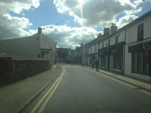
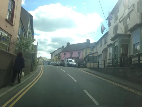
Y Bistro
Restaurant · 4.1 mi
Bridge Street, Newcastle Emlyn
Mo-Tu 18:00-21:00; We-Sa 10:00-15:00,18:00-21:00; Su...
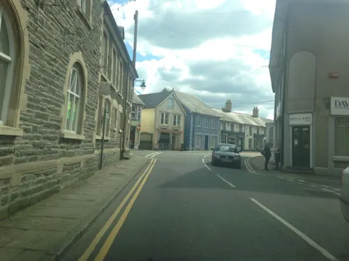
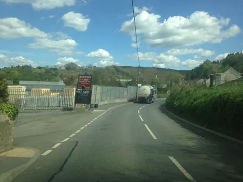
The Coopers Arms
Bar and pub · 3.9 mi
Station Road, Newcastle Emlyn
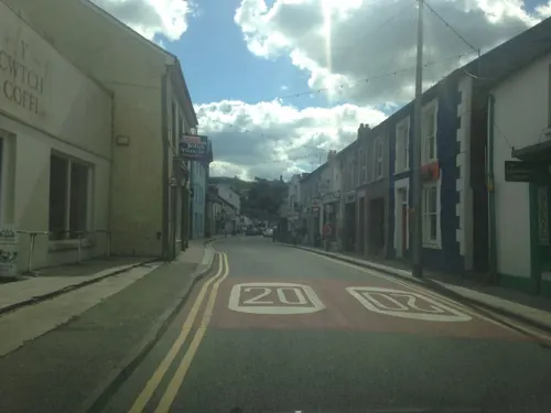
Y Cwtch Coffi
Cafe · Cake · 4.2 mi
Sycamore Street, Newcastle Emlyn
Mo-Sa 08:30-16:00
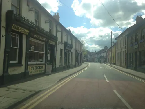
Harrison's
Restaurant · 4.1 mi
Sycamore Street, Newcastle Emlyn
Mo-Sa 09:30-16:30; Su 10:00-16:00
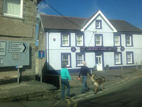
Riverside Cafe
Cafe · 4.1 mi
Vegetarian cafe.
Mo 09:30-16:30; Tu 11:00-16:30; We-Sa 09:30-16:30; Su 12:00-16:00

9 more on the map.
History
The church is dedicated to St Celer, a hermit and martyr who lived in the nearby woods in the 7th century. It has a circular churchyard which suggests that the settlement is very old. There was a holy well near the churchyard and Sir John Lloyd's History of Carmarthenshire refers to an ancient stone, Yr hen lech, to which was attributed healing powers. Sick persons were required to bathe in Ffynnon Celer, the holy well, before sleeping on the stone.
There were nine holy wells in the parish of Llangeler. Their existence was recorded by Francis Jones in his book Holy Wells of Wales. Such wells were often roofed and had small chapels with niches for statues of saints, and pilgrims came in large numbers to visit them. The exact whereabouts of many of the wells in the parish have now been lost.
From the History section of Llangeler on Wikipedia, under CC BY-SA 4.0.
Notable people from Llangeler
 John Harris JonesWelsh Calvinistic Methodist minister and classical tutor at Trevecka College (1827-1885)Photo: Unknown author Unknown author, Public domain
Born in Llangeler, according to Wikidata (CC0). Each name links to its Wikipedia article.
Where to stay9
Churches and places of worship13
Shopping10
Gas and EV charging3
Schools, colleges and libraries4
Healthcare2
Map of Llangeler
101 places. The map loads OpenStreetMap tiles when you open it.
Getting there and nearby towns
Haverfordwest Airport (HAW) is the nearest airport with scheduled flights listed in OpenStreetMap, 29 miles away.
- Newcastle Emlyn 4 mi west, about 7 min by car
- Carmarthen 12 mi south, about 20 min by car
- Saint Clears 15 mi south, about 25 min by car
- Whitland 18 mi southwest, about 29 min by car
- Pontyberem 19 mi southeast, about 31 min by car
- Narberth 22 mi southwest, about 36 min by car
- Ammanford 23 mi southeast, about 37 min by car
- Tregaron 23 mi northeast, about 37 min by car
- Llanelli 26 mi south, about 41 min by car
- Gorseinon 28 mi southeast, about 46 min by car
Drive times are estimates from straight-line distance, not routes.
Towns near Llangeler


Keep exploring
Local news
Headlines from INDB.
Reviews, tips and questions
Loading what members have shared...
Sources and licences
- GeoNames (CC BY 4.0): population, coordinates, regions and time zone
- Mapillary (see each image): photos
- OpenStreetMap contributors (ODbL 1.0): places, airports, map data
- Wikidata (CC0 1.0): elevation, founding date, time zone, website, landmarks and historic places
- Wikimedia Commons (see each image): photos
- Wikipedia (CC BY-SA 4.0): overview and history text
Photo credits
- Teddyanddollincar, SELF, CC BY-SA 3.0
- Welsh National Wool Museum, David Gearing, CC BY-SA 2.0
- Ebeneser Independent Chapel (1), GeraintTudur2, CC BY-SA 3.0
- Newcastle Emlyn Castle, Jeffpmcdonald, CC BY-SA 4.0
- Street-level photo, jih, CC BY-SA 4.0
- Street-level photo, jih, CC BY-SA 4.0
- Street-level photo, jih, CC BY-SA 4.0
- Street-level photo, jih, CC BY-SA 4.0
- Street-level photo, jih, CC BY-SA 4.0
- Street-level photo, jih, CC BY-SA 4.0
- Street-level photo, jih, CC BY-SA 4.0
- Street-level photo, jih, CC BY-SA 4.0
- Street-level photo, jih, CC BY-SA 4.0
- Street-level photo, jih, CC BY-SA 4.0
- Street-level photo, jih, CC BY-SA 4.0
- Street-level photo, jih, CC BY-SA 4.0
- Street-level photo, jih, CC BY-SA 4.0
Page built November 10, 2026. Spotted a mistake? Tell us or suggest a place.