
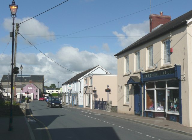


Saint Clears, United Kingdom
Saint Clears is a town of 1,605 people in Wales, United Kingdom.
Why visit Saint Clears
Townapedia lists 1 museum or landmark, 10 places to eat and 3 places to stay in and around town.
Weather in Saint Clears
Forecast from MET Norway (CC BY 4.0). Full forecast
About Saint Clears
St Clears ( KLAIRZ; Welsh: Sanclêr) is a town on the River Taf and a community in Carmarthenshire, Wales. At the 2011 census, the population was 2,995. The community includes the small settlements of Bancyfelin, Backe and Pwlltrap. It is bordered by the Carmarthenshire towns and villages of Meidrim, Newchurch and Merthyr, Llangynog, Laugharne Township, Llanddowror, Eglwyscummin, Llanboidy and Llangynin.
From the Wikipedia article St Clears (this version), under CC BY-SA 4.0.
Travel tips from other travellers: Saint Clears on Wikivoyage (CC BY-SA 4.0).
Museums and landmarks1
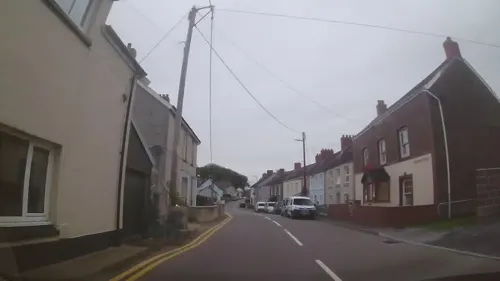
Restaurants and cafes10
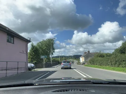

Black Lion Hotel
Bar and pub · Gastropub, British
Pentre Road, Caerfyrddin
Mo-Tu 16:00-23:00; We-Th 12:00-23:00; Fr-Sa 12:00-25:00; Su 12:00-23:00
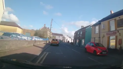
The Corvus Inn
Bar and pub
Station Road, Carmarthen
Mo 17:00-24:30; Tu 16:00-24:30; We 12:00-24:30; Th 12:00-22:00;...
Santa Clara
Bar and pub · 0.5 mi
High Street, Caerfyrddin
Mo-Fr 16:00-00:00; Sa-Su 17:00-00:00


Where to stay3

Churches and places of worship4


St Odoceus' Church, Llandawke
Church · 3.2 mi
Church in Carmarthenshire, UK

History
The Priory Church of St Mary Magdalene (Church in Wales) is a grade II* listed building and was founded c. 1100; a Cluniac priory of St Martin-des-Champs. It is considered to have the best surviving Norman stone carving in Carmarthenshire. The church was restored in 1853-55 and again in 1883–84. The stained glass is from c. 1929.
Read more of the history
Around 1093 Norman newcomers under Bretel de St Clair, a knight from north‑Devon, threw up a timber‑and‑earth motte‑and‑bailey castle at St Clears, a simple fortress in which a wooden tower sat on a high artificial mound (the motte) and an adjoining yard (bailey) was ringed by a palisade. William de St Clair inherited the St Clair estates in England, yet by 1175 most of his Devon lands had passed to the Ashleigh (Ashley) family. Because neither family is later documented in Carmarthenshire, the next lord of St Clears is uncertain. The 1130 Pipe Roll, the earliest surviving annual Exchequer account, recording payments owed to and by the Crown under Henry I, lists several men responsible for supplying small contingents of knights to Carmarthen Castle. While many can be linked to specific lordships, none are recorded for St Clears, Ystlwyf, or Llansteffan. One explanation, advanced by historian Bob Joyce, is that these lords paid a local magnate, possibly Simon fitz Hugh, to meet their obligations. Simon, accountable for 12 knights and perhaps lord of Laugharne, Joyce states, may have been the son of Hugh de Rennes, who held a few south‑Devon manors in 1086 that later passed to the de Brians, though this has not been conclusively established by historians.
St Clears, a Marcher borough, grew around the fortress. The castle eventually surrendered to Owain Glyndŵr in 1405.
Nearby, Trefenty House became the home of a branch of the Perrot family in the 16th century, and it was here that the amateur astronomer Sir William Lower and a neighbour, John Protheroe, set up one of Britain's first telescopes in 1609, which they used to study the craters of the Moon and Halley's Comet.
Thomas Charles (1755–1814) was a Welsh Calvinistic Methodist clergyman of considerable importance in the history of modern Wales. He was born of humble parentage at Longmoor, in the parish of Llanfihangel Abercywyn, near St Clears.
In 1842, St Clears was an epicentre of the "Rebecca Riots". At least one local toll gate was destroyed there.
The building of the South Wales Railway in the 1850s was responsible for the decline of many of the small ports along the Bristol Channel coast, and St Clears was no exception. The railway passed about two miles north of the castle, and the new building at the north end of the High Street spread eastwards along Pentre Road, and then northwards to the station. Pentre Road is now the main commercial centre of St Clears and was formerly part of the A40 road until the bypass opened.
The town's cattle market was important until its closure, but the town still has a large agricultural cooperative store. The town has also hosted an oil distribution centre and milk processing plant. Now, smaller industrial units provide the main local employment.
Photographer and film-maker Stanley Phillips lived in St Clears and documented life in the town and the surrounding area (active 1910–1961). His work appeared in the News Chronicle, Daily Mirror, and Sunday Mirror, as well as local newspapers. His films include The Last March of Mr. Jonah Rees at St Clears (1930), which is in the collection of the National Library of Wales. He worked closely with Colonel William Buckley (whose work is also in the National Library of Wales) and E.V. Williams, both keen filmmakers. The permanent exhibition of Phillips' photographs and film at the Mezzanine Gallery in St. Clears includes photographs of the aviator Amy Johnson, World War I flying ace Wing Commander Ira Jones, and racing drivers Sir Malcolm Campbell and J. G. Parry-Thomas, who both attempted world land speed records at nearby Pendine Sands.
Neville Hughes (1945–2015) was born in St Clears. He was a British actor and later a successful businessman in the motor manufacturer sales and marketing sector.
From the History section of St Clears on Wikipedia, under CC BY-SA 4.0.
Notable people from Saint Clears
- Carl JonesBritish biologist and species conservator
- Neville HughesBritish actor (1945-2015)
- Benjamin DaviesWelsh Hebrew scholar
Born in Saint Clears, according to Wikidata (CC0). Each name links to its Wikipedia article.
Gas and EV charging2
Schools, colleges and libraries2
Map of Saint Clears
22 places. The map loads OpenStreetMap tiles when you open it.
Getting there and nearby towns
Haverfordwest Airport (HAW) is the nearest airport with scheduled flights listed in OpenStreetMap, 20 miles away.
- Whitland 5 mi west, about 8 min by car
- Carmarthen 9 mi east, about 14 min by car
- Saundersfoot 12 mi southwest, about 19 min by car
- Tenby 13 mi southwest, about 22 min by car
- Llanelli 17 mi southeast, about 28 min by car
- Haverfordwest 20 mi west, about 32 min by car
- Ammanford 22 mi east, about 35 min by car
- Gorseinon 22 mi southeast, about 36 min by car
- Milford Haven 24 mi west, about 39 min by car
- Swansea 27 mi southeast, about 44 min by car
Drive times are estimates from straight-line distance, not routes.
Towns near Saint Clears


Keep exploring
Local news
Headlines from INDB.
Reviews, tips and questions
Loading what members have shared...
Sources and licences
- GeoNames (CC BY 4.0): population, coordinates, regions and time zone
- Mapillary (see each image): photos
- OpenStreetMap contributors (ODbL 1.0): places, airports, map data
- Wikidata (CC0 1.0): elevation, founding date, time zone, website, landmarks and historic places
- Wikimedia Commons (see each image): photos
- Wikipedia (CC BY-SA 4.0): overview and history text
Photo credits
- St Clears, Humphrey Bolton, CC BY-SA 2.0
- St Odoceus' Church, Llandawke, south elevation in spring, Ken Day, CC BY-SA 4.0
- StClearsPriory, JohnArmagh, Public domain
- Black Lion St Clears, Sionk, CC BY-SA 4.0
- Former Barclays St Clears, Sionk, CC BY-SA 4.0
- Street-level photo, laye, CC BY-SA 4.0
- Street-level photo, trigpoint, CC BY-SA 4.0
- Street-level photo, trigpoint, CC BY-SA 4.0
- Street-level photo, laye, CC BY-SA 4.0
- Street-level photo, laye, CC BY-SA 4.0
- Street-level photo, rac_uk2, CC BY-SA 4.0
- Street-level photo, trigpoint, CC BY-SA 4.0
- Street-level photo, trigpoint, CC BY-SA 4.0
- Street-level photo, rac_uk2, CC BY-SA 4.0
- Street-level photo, trigpoint, CC BY-SA 4.0
- Street-level photo, rac_uk2, CC BY-SA 4.0
- Street-level photo, trigpoint, CC BY-SA 4.0
Page built November 10, 2026. Spotted a mistake? Tell us or suggest a place.