


Low Ackworth, United Kingdom
Low Ackworth is a town of 1,500 people in England, United Kingdom.
Why visit Low Ackworth
Townapedia lists 11 museums and landmarks, 12 parks and trails, 21 places to eat and 1 attraction in and around town.
Highlights include Wentbridge Viaduct Carrying Bypass Over Valley Of River Went, Nostell Priory and Pontefract Castle.
Weather in Low Ackworth
Forecast from MET Norway (CC BY 4.0). Full forecast
About Low Ackworth
Ackworth is a village and civil parish in the metropolitan borough of Wakefield, West Yorkshire, England, between Pontefract, Barnsley and Doncaster on the River Went. It has four parts: High Ackworth, Low Ackworth, Ackworth Moor Top, and Brackenhill. The 2001 census gave it a population of 6,493, which rose to 7,049 at the 2011 census. There is also a city ward called Ackworth, North Elmsall and Upton, with a 2011 census population of 16,099.
From the Wikipedia article Ackworth, West Yorkshire (this version), under CC BY-SA 4.0.
Things to do1

Wentbridge Viaduct Carrying Bypass Over Valley Of River Went
Bridge · 2.8 mi
Road bridge in Darrington, Wakefield, West Yorkshire, England, UK
Museums and landmarks11

Nostell Priory
Museum · 2.7 mi
Historic house located in West Yorkshire, England, UK

Pontefract Castle
Museum · 3.2 mi
Castle in West Yorkshire, England, UK
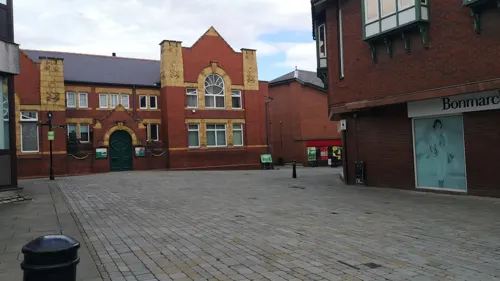
Pontefract Museum
Museum · 2.9 mi
Museum in Pontefract, West Yorkshire, United Kingdom


Parks, trails and playgrounds12


Restaurants and cafes21
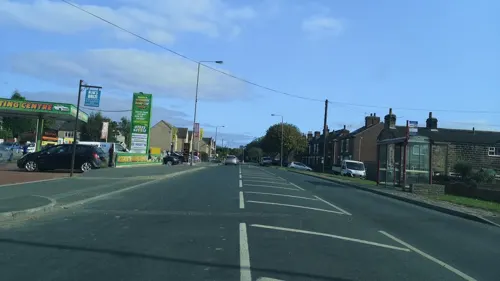
The Electric Theatre
Restaurant · European · 1.4 mi
62 Wakefield Road, Pontefract
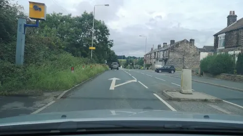
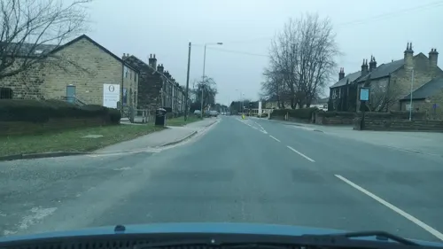
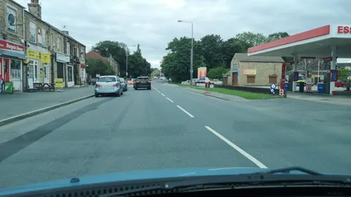

Ego at The Beverley Arms & EGO Restaurant
Restaurant · Mediterranean · 0.8 mi
Doncaster Road, Pontefract

9 more on the map.
History
The name of the village may derive from one of two sources. The first is from the Anglo-Saxon words ake or aken, meaning oak, and uurt, equivalent to "worth", meaning an enclosure or homestead. The other possibility is from the Anglo-Saxon name Acca, to make Acca's worth or Acca's enclosure. Several place names in the area show that the Anglo-Saxons had influence. Words such as "worth" and also "tun", meaning an enclosure or farmstead, are found in local names such as Badsworth, Hemsworth and Wentworth, and Fryston and Allerton. The name Ackworth was first recorded in the Domesday Book of 1086 as Aceuurde and is thought it have been formalised as 'Ackworth' in the 1800s.
Read more of the history
The area around Ackworth may have been settled about 500–600 by settlers from modern-day Denmark, Germany and the Netherlands after the departure of the Romans from Britain. The Romans were active around Ackworth, the nearby town of Castleford being the location of Lagentium, a Roman fort. The A639 Roman road to York also runs close by; a Roman milestone was found near its junction with Sandy Gate Lane on the parish boundary with Pontefract. In terms of Christianity, the first church may have appeared in Ackworth between 750 and 800, a well-established tradition being that the monks of Lindisfarne, escaping the Norse invasion, stopped there about 875, bringing with them the body of Saint Cuthbert. Evidence of Norse settlement can also be found locally in place names such as Thorpe Audlin and Grimethorpe, with the Norse term thorpe meaning a small settlement or a farm.
The earliest mention of the village appears in the 1086 Domesday Book: "Manor in Ackworth. Erdulf & Osulf have six carucates of land to be taxed, where there might be five ploughs. Humphry now holds it of Ilbert. [Humphry] himself has there one plough and a half, and fourteen villains, and two boors. There is a Church there, and priest; one mill, of sixteen pence. Value in King Edward's time four pounds, now three pounds. Domesday Book 107. Land of Ilbert de Lacy" According to Domesday, Ilbert de Lacy was Lord of a manor able to employ five ploughs. His vassal was the Humphrey mentioned in the book, who himself owned one-and-a-half ploughs (about a quarter of the manor). The rest was divided between two farmers as Humphry's tenants. De Lacy was a Norman knight, who received land for services to William the Conqueror and built the first earth and timber motte and bailey castle in nearby Pontefract. Domesday suggests Ackworth was small – 14 villagers and two smallholders – but as only heads of families were counted, a likelier population would have been 30–40.
Estate accounts for 1296 showed that Ackworth had developed by then. The Lord had 240 bondsmen working for him and the value of the mill had risen. Adam de Castleford had to pay 10 shillings (£0.5) rent for his land. His wife Isabella founded a Chapel of Our Lady in Ackworth Church in 1333. In 1341 the Inquisitiones Nonarum stated that the only inhabitants of Ackworth were working in agriculture. It has been speculated that the central village cross was erected by the Isabella de Castleford, who built the chapel in the church, which may date it around 1340. The cross itself was listed a grade II building in 1968, with a description as "late medieval", constructed as a "medieval shaft with a Tudor ball on top" and "prominently sited near junction with Pontefract road".
One reason given for erecting the cross was as a memorial to plague victims, possibly of the Black Death of 1349, which would have killed many. The Black Death reached Southern England in 1348 and by 1350 had killed a third of England's population. In nearby Pontefract it was estimated that 40 per cent of the population died. A reminder of how communities communicated and traded despite the plague remains in the Ackworth plague stone, although it is thought that it dates from a further plague outbreak in 1705. Standing at the junction of Sandy Gate Lane on the road into Pontefract, the stone too is a Grade II listed monument. Plague stones were "receptacles for sterilising coins in vinegar, normally at or close to parish boundaries." This suggests that the current location of the plague stone was the outer rim of the parish. The plague in 1645 was said to have killed 153, the bodies being buried in a "burial field... crossed by the footpath from Ackworth to Hundhill." The area had possibly been used for mass burial after a skirmish earlier in the year between Roundhead and Royalist forces during the English Civil War. The bubonic plague of 1645 was not confined to Ackworth: in Leeds over 1,300 people died, and a further 245 were thought to have died "in and around the Wakefield area". One theory was that it had been brought in by civil-war soldiers. Another version was retold by Henry Thompson in A History of Ackworth School in its first 100 years. A well-loved monk went to Rome and became "smitten by the plague and died". The monk, from the priory at Nostell would preach at the medieval cross in the centre of the village and was described as a "noble soul with a kindly heart", admired by young and old alike. After succumbing to the plague in Rome, his body was returned and passed through Ackworth, where "nothing could satisfy the ignorant but faithful love of the old hearers" and the coffin was opened. The village was then stricken with plague and the stone on Castle Syke Hill became "for many months the only contact between them and the outside world". The book relates how "upon that stone the Ackworth purchaser dropped his money into a vessel of water, for which, a few hours afterwards, he found his return in merchandise." Of this the author comments, "We make no idle comment.... We tell the tale as it was told to us."
From the History section of Ackworth, West Yorkshire on Wikipedia, under CC BY-SA 4.0.
More about Low Ackworth
Geography
At 53°30′0″N 1°20′0.8″W Ackworth is bounded by the City of Wakefield to the west, Pontefract to the north, with the villages of Thorpe Audlin and Kirk Smeaton to the east and Hemsworth to the south. The small River Went cuts through the village, as do the main A638 Doncaster to Wakefield road and the A628 from Barnsley to Pontefract. The underlying geology round High Ackworth consists of grey mud and silt stones associated with the Bolsovian series of rocks from the Upper Carboniferous period. An archaeological survey in 2008 described the soils as "well developed based on a pale orange silty clay natural probably glacially developed outwash upon which has developed a pale grey silty clay subsoil and a silty loam topsoil."
Economy
Agriculture played an important role in developing the Ackworth area from the times it was first settled. Other place names in the area indicate that farming was a key feature in areas around Ackworth such as Badsworth and Hemsworth. Norse place names also indicate that this continued into the period of Scandinavian settlement, when places appeared with the name "thorpe", meaning a small homestead or a farm. Domesday noted that Ackworth had a mill and that the land could employ five ploughs. Accounts from 1296 show the mill as still important to the community, as its value had gone up. In 1341 the 'Inquisitiones Nonarum' noted that the only people living in Ackworth were those working in agriculture. The census of 1831 showed "agricultural labourer" as the commonest occupation, with a total of 100 men over the age of 20 employed in it. The second most populous was "retail and handicrafts" with 90 employees. There were 29 people classed as "farmers employing labourers" and 13 as "farmers not employing labourers". In the 1881 census, agriculture was still the second commonest employment in the area: 106 men and 1 woman. The commonest by this time for men was "workers in various mineral substances", and for women "domestic services or offices".
Education
Ackworth's schools include Ackworth School, a Quaker-run boarding school and day school for pupils aged 2–18. The three primary schools are Ackworth Mill Dam Junior and Infants, Bell Lane Junior and Infants and Ackworth Howard Church of England Junior and Infants school. 'Oakfield Park' is for students of 11–19 with learning difficulties.
From the Wikipedia article Ackworth, West Yorkshire, under CC BY-SA 4.0.
Churches and places of worship6
Shopping2
Gas and EV charging3
Schools, colleges and libraries5
Ackworth Howard Church of England Voluntary Controlled Junior and Infant School
School · Anglican
Station Road, Pontefract
Healthcare1
Map of Low Ackworth
62 places. The map loads OpenStreetMap tiles when you open it.
Getting there and nearby towns
Leeds Bradford Airport (LBA) is the nearest airport with scheduled flights listed in OpenStreetMap, 21 miles away.
- Featherstone 2 mi northwest, about 4 min by car
- Pontefract 3 mi north, about 5 min by car
- South Elmsall 4 mi southeast, about 7 min by car
- Knottingley 5 mi northeast, about 8 min by car
- Castleford 5 mi north, about 9 min by car
- Methley 6 mi northwest, about 10 min by car
- Wakefield 7 mi west, about 12 min by car
- Cudworth 7 mi southwest, about 11 min by car
- Adwick le Street 8 mi southeast, about 13 min by car
- Kippax 8 mi north, about 13 min by car
Drive times are estimates from straight-line distance, not routes.
Towns near Low Ackworth


Keep exploring
Local news
Headlines from INDB.
Reviews, tips and questions
Loading what members have shared...
Sources and licences
- GeoNames (CC BY 4.0): population, coordinates, regions and time zone
- Mapillary (see each image): photos
- OpenStreetMap contributors (ODbL 1.0): places, airports, map data
- Wikidata (CC0 1.0): elevation, founding date, time zone, website, landmarks and historic places
- Wikimedia Commons (see each image): photos
- Wikipedia (CC BY-SA 4.0): overview and history text
Photo credits
- Nostell Priory Front Facade, Wehha, CC BY-SA 3.0
- Pontefract Castle, Unknown author, Public domain
- All Saints, Pontefract (27364027412), Tim Green from Bradford, CC BY 2.0
- Micklegate Methodist Church, Pontefract (1), Rept0n1x, CC BY-SA 3.0
- St Cuthberts Church Ackworth, Notjamesbond, CC BY-SA 3.0
- Hessle and Hill Top - Hessle Hall, Bill Henderson, CC BY-SA 2.0
- Street-level photo, cuttlebug, CC BY-SA 4.0
- Street-level photo, cuttlebug, CC BY-SA 4.0
- Street-level photo, cuttlebug, CC BY-SA 4.0
- Street-level photo, cuttlebug, CC BY-SA 4.0
- Street-level photo, cuttlebug, CC BY-SA 4.0
- Street-level photo, cuttlebug, CC BY-SA 4.0
- Street-level photo, cuttlebug, CC BY-SA 4.0
- Street-level photo, cuttlebug, CC BY-SA 4.0
- Street-level photo, cuttlebug, CC BY-SA 4.0
- Street-level photo, cuttlebug, CC BY-SA 4.0
- Street-level photo, cuttlebug, CC BY-SA 4.0
- Street-level photo, cuttlebug, CC BY-SA 4.0
- Street-level photo, cuttlebug, CC BY-SA 4.0
- Street-level photo, cuttlebug, CC BY-SA 4.0
- Street-level photo, cuttlebug, CC BY-SA 4.0
- Street-level photo, cuttlebug, CC BY-SA 4.0
- Street-level photo, cuttlebug, CC BY-SA 4.0
- Street-level photo, cuttlebug, CC BY-SA 4.0
- Street-level photo, cuttlebug, CC BY-SA 4.0
- Street-level photo, cuttlebug, CC BY-SA 4.0
- Street-level photo, cuttlebug, CC BY-SA 4.0
- Street-level photo, cuttlebug, CC BY-SA 4.0
- Street-level photo, cuttlebug, CC BY-SA 4.0
- Street-level photo, cuttlebug, CC BY-SA 4.0
- Street-level photo, cuttlebug, CC BY-SA 4.0
- Street-level photo, cuttlebug, CC BY-SA 4.0
Page built November 10, 2026. Spotted a mistake? Tell us or suggest a place.