


Why visit Markyate
Townapedia lists 5 museums and landmarks, 5 parks and trails, 13 places to eat, 2 places to stay and 1 attraction in and around town.
Highlights include Stockwood Discovery Centre, Whipsnade Tree Cathedral, Landpark Wood and Sallowsprings.
Weather in Markyate
Forecast from MET Norway (CC BY 4.0). Full forecast
About Markyate
Markyate () is a village and civil parish in north-west Hertfordshire, close to the border with Bedfordshire and Buckinghamshire.
From the Wikipedia article Markyate (this version), under CC BY-SA 4.0.
Things to do1

Woodside Animal Farm & Leisure PArk
Zoo and aquarium · 1.0 mi
Mancroft Road, Luton
Museums and landmarks5

Stockwood Discovery Centre
Museum · 2.6 mi
Museum in Luton, Bedfordshire, United Kingdom

Whipsnade Tree Cathedral
Monument and historic site · 3.4 mi
Garden in Bedfordshire, England, UK
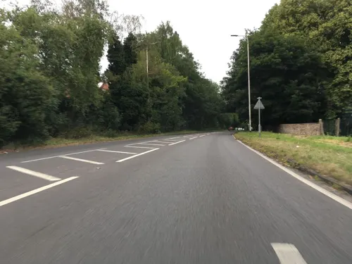

Luton Castle
Monument and historic site · 3.2 mi
UK archaeological site

Parks, trails and playgrounds5


Stockwood Park
Park · 2.5 mi
Large park with museum and gardens in Luton, England

Woodside Farm and Wildfowl Park
Park · 1.0 mi
Zoo in Slip End near Luton, Central Bedfordshire
Restaurants and cafes13
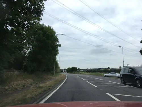
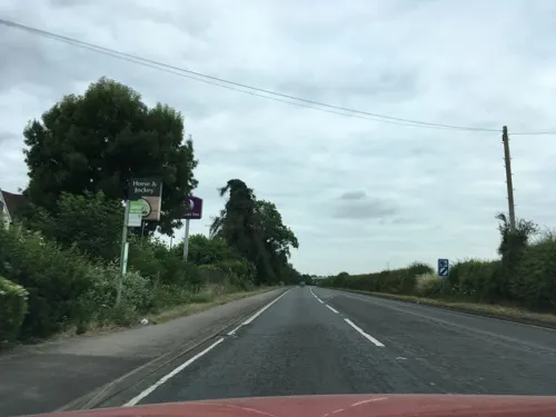
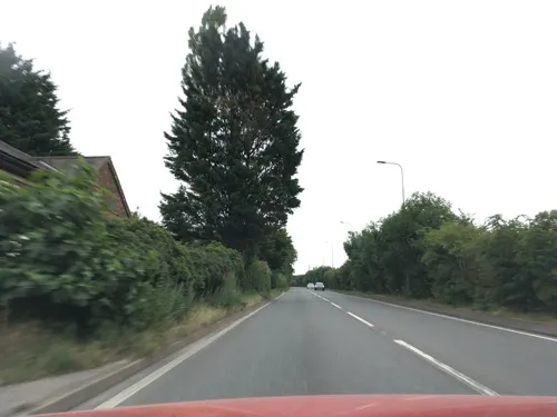





Markyate Fish Bar & Kebab House
Fast food
Tu-Sa 11:00-14:00,16:00-22:00; Su 15:00-22:00
1 more on the map.
History
Markyate lies on the Roman road of Watling Street, approximately halfway between St Albans and Dunstable. Through the village Watling Street is called High Street.
A Benedictine nunnery was founded in 1145 in a wood just north of Markyate, which was known as both "Holy Trinity in the Wood" and Markyate Priory. The first prioress was Christina of Markyate. The priory was dissolved around 1537, following the Suppression of Religious Houses Act 1535. Shortly after the priory's dissolution a large country house was built on the site, called Markyate Cell, and now known as Cell Park.
Markyate's position on Watling Street made it a coaching stop on the stagecoach routes from London to Birmingham and Holyhead, especially after the road was upgraded by Thomas Telford in the early 1800s, when it became known as the Holyhead Road. At one point Markyate had over forty inns and public houses along the main road.
The village was one of the earliest sites of the Pickfords transport service. One road in the village is now called Pickford Road.
Growth since the 1950s has been by infilling with new housing in the gap between the High Street and the newer Markyate by-pass. In 2014 most of the village's light industry area off Hicks Road was demolished, to be replaced by new housing and shops.
From the History section of Markyate on Wikipedia, under CC BY-SA 4.0.
More about Markyate
Geography
The name of the village has had several former variants, including Markyate Street, Market Street and Mergyate. Markyate historically straddled Hertfordshire and Bedfordshire until boundary changes in 1897 placed it entirely in Hertfordshire. Markyate is close to the source of the River Ver, which has occasionally flooded the centre of the village, though the watercourse is often dry during parts of the year.
Markyate forms part of the borough of Dacorum (administered from Hemel Hempstead), but has Luton (01582) phone numbers and a St Albans postal code (AL3). Although historically a rural and agricultural area, it is now a dormitory village for Luton and the surrounding region, as it is a short distance from junction 9 of the M1 motorway.
The village lies near the junction of the A5183 Watling Street (formerly the A5 until de-trunking) and the B4540 (for Luton and Caddington). A bypass for the A5 was constructed to the east of the village in 1955.
From the Wikipedia article Markyate, under CC BY-SA 4.0.
Where to stay2
Churches and places of worship8
St Thomas the Apostle Catholic Church
Church · Catholic · 1.5 mi
Manor Road, Luton
Gas and EV charging1
Schools, colleges and libraries3
Healthcare1
Map of Markyate
39 places. The map loads OpenStreetMap tiles when you open it.
Getting there and nearby towns
London Luton Airport (LTN) is the nearest airport with scheduled flights listed in OpenStreetMap, 5 miles away.
- Kensworth 2 mi northwest, about 3 min by car
- Luton 3 mi northeast, about 6 min by car
- Dunstable 4 mi northwest, about 7 min by car
- Harpenden 5 mi east, about 8 min by car
- Hemel Hempstead 6 mi south, about 9 min by car
- Berkhamsted 7 mi southwest, about 11 min by car
- Northchurch 7 mi southwest, about 11 min by car
- Kimpton 7 mi east, about 11 min by car
- St Albans 8 mi southeast, about 13 min by car
- Stanbridge 8 mi northwest, about 12 min by car
Drive times are estimates from straight-line distance, not routes.
Towns near Markyate


Keep exploring
Local news
Headlines from INDB.
Reviews, tips and questions
Loading what members have shared...
Sources and licences
- GeoNames (CC BY 4.0): population, coordinates, regions and time zone
- Mapillary (see each image): photos
- OpenStreetMap contributors (ODbL 1.0): places, airports, map data
- Wikidata (CC0 1.0): elevation, founding date, time zone, website, landmarks and historic places
- Wikimedia Commons (see each image): photos
- Wikipedia (CC BY-SA 4.0): overview and history text
Photo credits
- Stockwood Discovery Centre, Luton 04, GualdimG, CC BY-SA 4.0
- Landpark Wood 1, Dudley Miles, CC BY-SA 4.0
- Sallowsprings 2, Dudley Miles, CC BY-SA 4.0
- Stockwoodpark, Richard Thomas, CC BY-SA 2.0
- Church of St Mary, Kensworth, AnemoneProjectors ( talk ) ( Flickr ), CC BY-SA 2.0
- Church of St Mary, Studham, AnemoneProjectors ( talk ) ( Flickr ), CC BY-SA 2.0
- Our Lady Help of Christians Church - Luton from Matalan, Mugford6120, CC BY-SA 4.0
- GOC Markyate 098 Whipsnade Tree Cathedral (9369909674), Peter O'Connor aka anemoneprojectors, CC BY-SA 2.0
- Street-level photo, southglos, CC BY-SA 4.0
- Street-level photo, southglos, CC BY-SA 4.0
- Street-level photo, southglos, CC BY-SA 4.0
- Street-level photo, southglos, CC BY-SA 4.0
- Street-level photo, southglos, CC BY-SA 4.0
- Street-level photo, southglos, CC BY-SA 4.0
- Street-level photo, southglos, CC BY-SA 4.0
- Street-level photo, southglos, CC BY-SA 4.0

Page built November 10, 2026. Spotted a mistake? Tell us or suggest a place.