


Stewarton, United Kingdom
Stewarton is a town of 7,140 people in Scotland, United Kingdom.
Why visit Stewarton
Townapedia lists 2 museums and landmarks, 3 parks and trails, 18 places to eat and 2 attractions in and around town.
Highlights include Buiston Crannog.
Weather in Stewarton
Forecast from MET Norway (CC BY 4.0). Full forecast
About Stewarton
Stewarton (Scots: Stewartoun, Scottish Gaelic: Baile nan Stiùbhartach) is a town in East Ayrshire, Scotland. In comparison to the neighbouring towns of Kilmaurs, Fenwick, Dunlop and Lugton, it is a relatively large town, with a population estimated at over 7,400. It is 300 feet (90 metres) above sea level. The town is served by Stewarton railway station.
From the Wikipedia article Stewarton (this version), under CC BY-SA 4.0.
Photos of Stewarton


Things to do2

Museums and landmarks2

Buiston Crannog
Monument and historic site · 1.4 mi
Excavated in 1881, several images available on WikiCommons.
Parks, trails and playgrounds3

Restaurants and cafes18
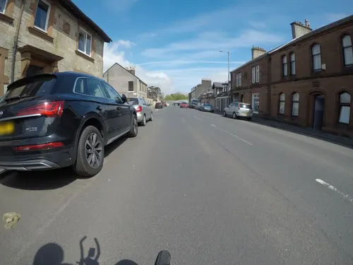
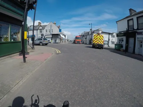
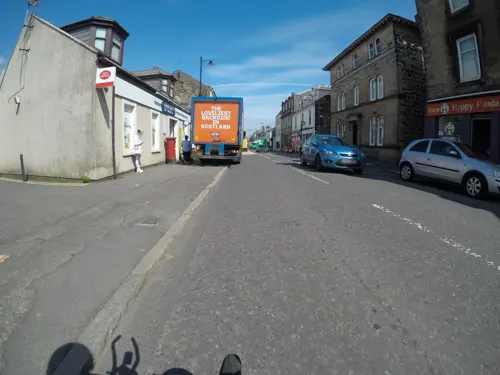
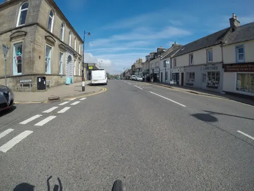
6 more on the map.
History
Historical records show that Stewarton has existed since at least the 12th century with various non-historical references to the town dating to the early 11th century. The most famous of these non-historical references concerns the legend of Máel Coluim III the son of Donnchad I of Scotland who appears as a character in William Shakespeare's play Macbeth. As the legend goes, Mac Bethad had slain Donnchad to enable himself to become king of Scotland and immediately turned his attention towards Donnchad's son Máel Coluim (the next in line to the throne). When Máel Coluim learned of his father's death and Mac Bethad's intentions to murder him, he fled for the relative safety of England. Unfortunately for Máel Coluim, Mac Bethad and his associates had tracked him down and were gaining on him as he entered the estate of Corsehill on the edge of Stewarton.
Read more of the history
In panic Máel Coluim pleaded for the assistance of a nearby farmer named either Friskine or Máel Coluim (accounts differ) who was forking hay on the estate. Friskine/Máel Coluim covered Máel Coluim in hay, allowing him to escape Mac Bethad and his associates. He later found refuge with King Harthacanute, who reigned as Canute II, King of England and Norway and in 1057, after returning to Scotland and defeating Mac Bethad in the Battle of Lumphanan in 1057 to become King of Scots, he rewarded Friskine's family with the Baillie of Cunninghame to show his gratitude to the farmer who had saved his life 17 years earlier. The Cunninghame family logo now features a Y-shaped fork with the words "over fork over" underneath - a logo which appears in various places in Stewarton, notably as the logo of the two primary schools in the area - Lainshaw primary school and Nether Robertland primary school.
Another reference to Stewarton, this time a historical recorded version, is that one Wernebald was given the Cunninghame lands by his superior, Hugh de Morville, the builder of Kilwinning Abbey who lived at this time in Tour near Kirkland in Kilmaurs. The family were originally from Morville in Normandy (Wernebald was from Flanders) and had been established in Scotland for at least twenty years when one of the family was involved in the murder of Thomas Becket. Dervorguilla of Galloway, mother of John Balliol, was a daughter of the Morvilles on her mother's side, and when Robert the Bruce won the crown the family of Balliol lost their lands in Cunninghame. The Red Comyn, whom Bruce murdered, was a nephew of Balliol. William Cunninghame de Lamberton was Archbishop of St. Andrews and a supporter of Bruce.
Pont in 1604 - 08 records that so thickly was the district about Stewarton and along the banks of the Irvine populated for a space of 3 or 4 miles (5 or 6 kilometres) "that well traveled men in divers parts of Europe (affirm) that they have seen walled cities not so well or near planted with houses so near each other as they are here, wherethrough it is so populous that, at the ringing of a bell in the night for a few hours, there have seen convene 3000 able men, well-horsed and armed."
Another significant event from Stewarton's history involves the Cunninghame family. In the 16th century Ayrshire was divided into three regions or bailiaries - Kyle, Carrick and Cunninghame. The two powerful families residing in Cunninghame - the Cunninghame's and the Montgomeries - had been involved in a dispute over landholdings which came to a head in 1586 when Hugh, the 4th Earl of Eglinton was attacked at the ford on the Annick Water (which flows through Stewarton) by 30 or so members of the Cunninghame clan and shot dead by John Cunninghame of Clonbeith. Hugh is said to have been on his way to attend the court of King James VI at Stirling when he decided to stop off at Langshaw House (now Lainshaw house which was for a long time a home for the elderly) to dine with his associates. The lady of the house Lady Montgomery - told several of her Cunninghame associates who lived in the area of the Earl's planned visit. As a response to the killing the Montgomery family declared they would kill every Cunninghame who had been at the river that day and a series of 'tit for tat' killings were carried out between the two families. John Cunninghame of Clonbeith was eventually slain in Hamilton, Scotland, but several of those responsible for the murder fled to Denmark and were eventually granted a pardon by King James upon his marriage to Anne of Denmark.
Lady Montgomery, who was alleged to have signaled the murderers by placing a white 'napkin' on a window sill, is said to have escaped and lived with her retainer Robert Kerr at Pearce Bank (now High Peacockbank) for several years until the 'hue and cry' died down at which point she returned to the castle and was not molested on the understanding that she did not 'show her face' outside of the grounds. A path known as the 'Weeping or Mourning Path' runs upstream from the Annick (previously Annack or Annock Water) Ford and this is where the Earl's widow is said to have wept as she later followed the trail of blood left behind as his panicked horse took him away from Bridgend. The Earl's body was placed in Lainshaw Castle until arrangements were made to remove it to Eglintoun Castle.
From the History section of Stewarton on Wikipedia, under CC BY-SA 4.0.
More about Stewarton
Geography
The Stewarton Flower, so named due to its local abundance and recorded as such by the Kilmarnock Glenfield Ramblers, is otherwise known as Pink Purslane (Claytonia sibirica) is found in damp areas. This plant was introduced from North America in Victorian times, quite possibly at the Robertland Estate. In 1915 it was stated to have been in the area for over 60 years and was abundant on the Corsehill Burn below Robertland in 1915. As far away as Dalgarven Mill the white flowered variety still dominates. The plant is very adept at reproducing by asexual plantlets and this maintains the white gene pool around Stewarton. The pink variety has not been able to predominate here, unlike almost everywhere else in the lowlands of Scotland, England and Wales. Claytonia sibirica is a seriously destructive alien invader which should not be transplanted to other sites.
From the Wikipedia article Stewarton, under CC BY-SA 4.0.
Notable people from Stewarton
- David DaleScottish merchant
- William JackScottish mathematician and journalist
Born in Stewarton, according to Wikidata (CC0). Each name links to its Wikipedia article.
Churches and places of worship3
Our Lady & St John Roman Catholic Church
Church · Roman Catholic
69 Lainshaw Street, Kilmarnock
Shopping11
Gas and EV charging1
Schools, colleges and libraries3
Healthcare2
Map of Stewarton
45 places. The map loads OpenStreetMap tiles when you open it.
Getting there and nearby towns
Glasgow Prestwick Airport (PIK) is the nearest airport with scheduled flights listed in OpenStreetMap, 12 miles away.
- Kilmarnock 5 mi south, about 8 min by car
- Springside 5 mi southwest, about 9 min by car
- Irvine 7 mi southwest, about 11 min by car
- Kilwinning 8 mi west, about 12 min by car
- Howwood 9 mi north, about 15 min by car
- Newton Mearns 10 mi northeast, about 15 min by car
- Barrhead 10 mi northeast, about 15 min by car
- Stevenston 10 mi west, about 16 min by car
- Johnstone 10 mi north, about 17 min by car
- Paisley 11 mi north, about 18 min by car
Drive times are estimates from straight-line distance, not routes.
Towns near Stewarton


Keep exploring
Local news
Headlines from INDB.
Reviews, tips and questions
Loading what members have shared...
Sources and licences
- GeoNames (CC BY 4.0): population, coordinates, regions and time zone
- Mapillary (see each image): photos
- OpenStreetMap contributors (ODbL 1.0): places, airports, map data
- Wikidata (CC0 1.0): elevation, founding date, time zone, website
- Wikimedia Commons (see each image): photos
- Wikipedia (CC BY-SA 4.0): overview and history text
Photo credits
- The Cross, Stewarton, East Ayrshire, Rosser1954, CC BY-SA 4.0
- 11397 United Reformed Church, Stewarton 003, WeeHolly, CC BY-SA 4.0
- 11397 United Reformed Church, Stewarton 004, WeeHolly, CC BY-SA 4.0
- 11397 United Reformed Church, Stewarton 002, WeeHolly, CC BY-SA 4.0
- 11397 United Reformed Church, Stewarton 005, WeeHolly, CC BY-SA 4.0
- 11397 United Reformed Church, Stewarton 001, WeeHolly, CC BY-SA 4.0
- 11397 United Reformed Church, Stewarton 006, WeeHolly, CC BY-SA 4.0
- Main Street, Stewarton, Richard Webb, CC BY-SA 2.0
- Buiston Crannog excavations 1881, Roger Griffith - unknown original author, Public domain
- Buiston Crannog plan, Roger Griffith - unknown original author, Public domain
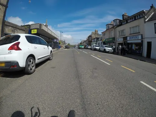
- Street-level photo, mfk, CC BY-SA 4.0
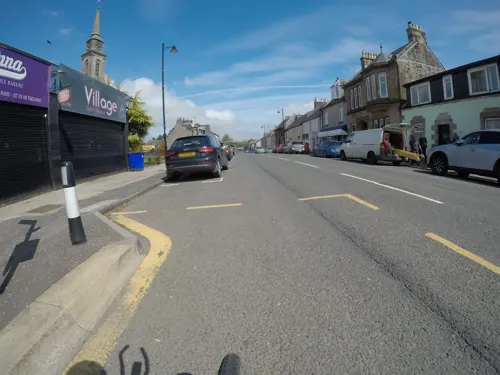
- Street-level photo, mfk, CC BY-SA 4.0
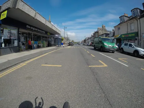
- Street-level photo, mfk, CC BY-SA 4.0
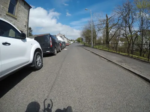
- Street-level photo, mfk, CC BY-SA 4.0
- Street-level photo, mfk, CC BY-SA 4.0
- Street-level photo, mfk, CC BY-SA 4.0
- Street-level photo, mfk, CC BY-SA 4.0
- Street-level photo, mfk, CC BY-SA 4.0
- Street-level photo, mfk, CC BY-SA 4.0
- Street-level photo, mfk, CC BY-SA 4.0
- Street-level photo, mfk, CC BY-SA 4.0
- Street-level photo, mfk, CC BY-SA 4.0
- Street-level photo, mfk, CC BY-SA 4.0
- Street-level photo, mfk, CC BY-SA 4.0
- Street-level photo, mfk, CC BY-SA 4.0
- Street-level photo, mfk, CC BY-SA 4.0
- Street-level photo, mfk, CC BY-SA 4.0
- Street-level photo, mfk, CC BY-SA 4.0
- Street-level photo, mfk, CC BY-SA 4.0
- Street-level photo, mfk, CC BY-SA 4.0
- Street-level photo, mfk, CC BY-SA 4.0
- Street-level photo, mfk, CC BY-SA 4.0
- Street-level photo, mfk, CC BY-SA 4.0
- Street-level photo, mfk, CC BY-SA 4.0
- Street-level photo, mfk, CC BY-SA 4.0
Page built November 10, 2026. Spotted a mistake? Tell us or suggest a place.