




Why visit Neston
Townapedia lists 8 museums and landmarks, 2 parks and trails, 20 places to eat and 1 place to stay in and around town.
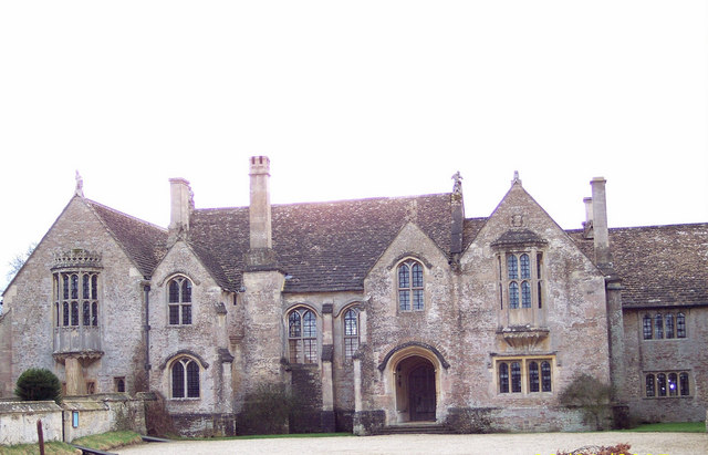
Highlights include Corsham Court and Great Chalfield Manor.
Weather in Neston
Forecast from MET Norway (CC BY 4.0). Full forecast
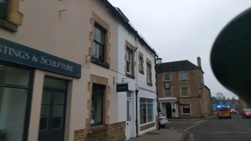
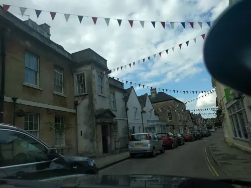
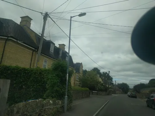
Photos of Neston


Museums and landmarks8

Corsham Court
Museum · 1.8 mi
Grade I listed English country house in Wiltshire, England, UK

Great Chalfield Manor
Museum · 3.1 mi
Grade I listed English country house in Atworth, Wiltshire, England, UK

Lady Margaret Hungerford Almshouses and Schoolroom
Monument and historic site · 1.4 mi


Parks, trails and playgrounds2


Restaurants and cafes20
Mother and Wild
Restaurant · Pizza, Italian, Coffee Shop · 1.5 mi
8 High Street, Corsham
Mo-Sa 08:30-22:00; Su 12:00-20:00
Kettlesmith's
Bar and pub · 1.5 mi
1 Pickwick Road, Corsham
Tu-We 17:00-21:00; Th 17:00-22:00; Fr-Sa 12:00-23:00
Imperial Garden
Restaurant · Chinese · 1.5 mi
23 High Street, Corsham
Tu-Su,PH 12:00-14:00,17:00-23:00

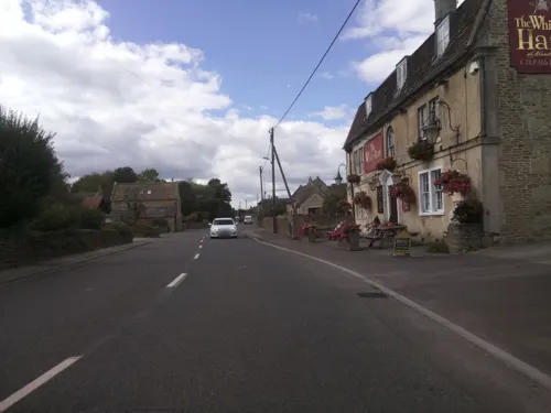

The Burj at Harp and Crown
Restaurant · Indian · 1.4 mi
Velley Hill, Gastard
Mo-Su 12:00-14:30,17:00-23:00

8 more on the map.
Where to stay1

The Methuen Arms
Motel and hotel · 1.5 mi
2 High Street
Mo-Fr 07:30-23:00; Sa 08:00-23:00; Su 08:00-21:30
Churches and places of worship10
Shopping5
Gas and EV charging3
Schools, colleges and libraries10
Healthcare2
Map of Neston
61 places. The map loads OpenStreetMap tiles when you open it.
Getting there and nearby towns
Cotswold Airport (GBA) is the nearest airport with scheduled flights listed in OpenStreetMap, 19 miles away.
- Corsham 2 mi northeast, about 3 min by car
- Melksham 4 mi southeast, about 6 min by car
- Bath 7 mi west, about 12 min by car
- Calne 9 mi east, about 14 min by car
- Devizes 10 mi southeast, about 16 min by car
- Westbury 11 mi south, about 17 min by car
- Yate 13 mi northwest, about 21 min by car
- Keynsham 13 mi west, about 21 min by car
- Frome 14 mi south, about 22 min by car
- Warminster 14 mi south, about 23 min by car
Drive times are estimates from straight-line distance, not routes.
Towns near Neston


Keep exploring
Local news
Headlines from INDB.
Reviews, tips and questions
Loading what members have shared...
Sources and licences
- GeoNames (CC BY 4.0): population, coordinates, regions and time zone
- Mapillary (see each image): photos
- OpenStreetMap contributors (ODbL 1.0): places, airports, map data
- Wikidata (CC0 1.0): elevation, founding date, time zone, website, landmarks and historic places
- Wikimedia Commons (see each image): photos
Photo credits
- Footpath Neston - panoramio, Keith Daulby, CC BY 3.0
- Mine Shaft Head, Neston - panoramio, Keith Daulby, CC BY 3.0
- CorshamCourtFront, Rodhullandemu, CC BY-SA 3.0
- Great Chalfield Manor 12, Trish Steel, CC BY-SA 2.0
- Corsham Almshouses, Dave Vaughan, CC BY-SA 2.0
- Gastard St John the Baptist, My another account ( talk ), CC0
- Church of St Patrick, Chris debian, CC BY-SA 4.0
- 1363984 II THE METHUEN ARMS HOTEL, HIGH STREET Corsham 20250907 0002, Tilman2007, CC BY-SA 4.0
- Corsham War Memorial 2, Chris debian, CC BY-SA 4.0
- Bridleway to Whitley - panoramio, Keith Daulby, CC BY 3.0
- HMS Royal Arthur Corsham Road View, Bailo26, CC BY-SA 3.0
- BoxTunnelEast, The original uploader was Cheesy mike at English Wikipedia ., CC BY-SA 2.0
- SYM GTS Evo 125i, Bailo26, CC BY 3.0
- ISS031-E-75819 - View of Earth, Earth Science and Remote Sensing Unit , Lyndon B. Johnson Space Center, Public domain
- ISS046-E-29210 - View of Earth, Earth Science and Remote Sensing Unit , Lyndon B. Johnson Space Center, Public domain
- ISS030-E-267573 - View of Earth, Earth Science and Remote Sensing Unit , Lyndon B. Johnson Space Center, Public domain
- ISS067-E-261951 - View of Earth, Earth Science and Remote Sensing Unit , Lyndon B. Johnson Space Center, Public domain
- The Hare And Hounds, chris_debian, CC BY-SA 4.0
- Street-level photo, chris_debian, CC BY-SA 4.0
- Street-level photo, chris_debian, CC BY-SA 4.0
- Street-level photo, chris_debian, CC BY-SA 4.0
- Street-level photo, chris_debian, CC BY-SA 4.0
- Street-level photo, chris_debian, CC BY-SA 4.0
- Street-level photo, chris_debian, CC BY-SA 4.0
- Street-level photo, chris_debian, CC BY-SA 4.0
- Street-level photo, chris_debian, CC BY-SA 4.0
- Street-level photo, chris_debian, CC BY-SA 4.0
- Street-level photo, chris_debian, CC BY-SA 4.0
- Street-level photo, chris_debian, CC BY-SA 4.0
- Street-level photo, southglos, CC BY-SA 4.0
- Street-level photo, chris_debian, CC BY-SA 4.0
- Street-level photo, chris_debian, CC BY-SA 4.0
- Street-level photo, chris_debian, CC BY-SA 4.0
- Street-level photo, chris_debian, CC BY-SA 4.0
- Street-level photo, chris_debian, CC BY-SA 4.0
- Street-level photo, chris_debian, CC BY-SA 4.0
- Street-level photo, chris_debian, CC BY-SA 4.0


Page built November 10, 2026. Spotted a mistake? Tell us or suggest a place.