


Westbury, United Kingdom
Westbury is a town of 16,989 people in England, United Kingdom.
Why visit Westbury
Townapedia lists 3 museums and landmarks, 18 parks and trails, 31 places to eat, 2 places to stay and 2 attractions in and around town.
Highlights include Bratton Castle and Westbury Golf Club.
Weather in Westbury
Forecast from MET Norway (CC BY 4.0). Full forecast
About Westbury
Westbury is a market town and civil parish in west Wiltshire, England. The town lies below the northwestern edge of Salisbury Plain, about 4 miles (6 km) south of Trowbridge and a similar distance north of Warminster.
From the Wikipedia article Westbury, Wiltshire (this version), under CC BY-SA 4.0.
Things to do2

Museums and landmarks3

Bratton Castle
Monument and historic site · 1.9 mi
Bivallate Iron Age hillfort on Bratton Down in Wiltshire, England

Parks, trails and playgrounds18



6 more on the map.
Restaurants and cafes31
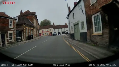
New China Cottage
Restaurant · Chinese
23 Market Place
Mo off; Tu-Th 17:30-23:30; Fr-Sa 17:30-24:00; Su 17:30-23:30
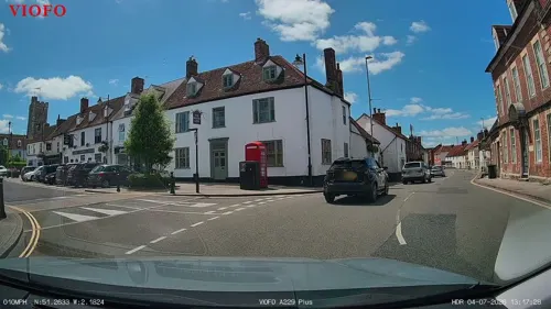
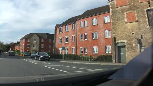
The Railway Inn
Bar and pub · 0.5 mi
Station Road, Bath
Mo-Th 12:00-23:00; Fr,Sa 12:00-24:00; Su 12:00-23:00
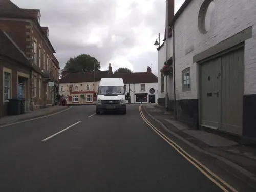
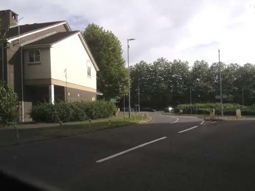
Star East Express
Restaurant · Chinese, Thai · 0.7 mi
17, Westbury
Mo off; Tu-Th 17:00-23:00; Fr-Sa 12:00-14:00,17:00-23:00; Su 17:00-22:30
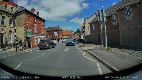
Thai Orchid
Restaurant · Thai
26 Warminster Road, Westbury
Mo-Th 12:00-14:00,18:00-23:00; Fr-Sa 12:00-14:00,18:00-24:00; Su off
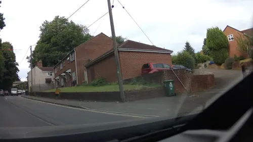

Tale of Spice 2
Restaurant · Indian
35 Warminster Road
Mo-Th 12:00-14:30,18:00-23:00; Fr 12:00-14:30,17:30-23:00; Sa...


19 more on the map.
History
A Romano-British settlement was found at The Ham, in the north of the parish, in the 1870s.
A moated site at Westbury Leigh called Palace Garden was reputed to have been a residence of Anglo-Saxon kings.
The manor of Westbury, and the hundred with the same boundaries, was held by the king at the time of the Domesday survey in 1086. The Wiltshire Victoria County History recounts the fragmentation into manors, and traces their ownership. The ancient parish included Bratton, Dilton, Dilton Marsh, Heywood and part of Chapmanslade. Churches at Bratton and Dilton were dependent chapels of Westbury church.
In 1252, Henry III granted Walter de Pavely the right to hold weekly markets on Fridays and an annual fair lasting three days from 31 October. In 1460, Henry VI granted three annual fairs lasting three days from 22 April, Whit Monday, and 13 September, and weekly markets on Thursdays.
Read more of the history
Westbury centres on its historic marketplace – although markets ceased to be held in the middle of the 19th century – and the All Saints' Church. This was built between c. 1340 and 1380 in a transitional style between the Decorated and Perpendicular Gothic and parts survive, but the church was rebuilt in the 1430s, when a clerestory, three chapels, and most of the central tower were added; the north chapel was given by William de Westbury and his father. The west window was donated in the 19th century by Abraham Laverton.
Westbury was incorporated as a borough by royal charter in 1448.
The charter is lost, although there was a tradition that it had been burned. The borough had a corporation consisting of a mayor, recorder, and thirteen capital burgesses, appointed for life by the corporation, and the duties of the mayor were to act as returning officer for the parliamentary elections and to preside in the borough court. The borough was not reformed by the Municipal Corporations Act 1835, remaining an unreformed borough until 1886, when its corporation was abolished.
The Wilts, Somerset and Weymouth Railway was completed from near Chippenham, via Melksham and Trowbridge, as far as Westbury in 1848. That company was bought by the Great Western Railway in 1850, who over the next few years built lines onwards to Frome (to access the Somerset coalfield), then south to Yeovil and Weymouth, as well as southeast from Westbury to Warminster and then Salisbury. Westbury station was rebuilt in 1899 since it would become more important as a junction the next year, on the opening of the Stert and Westbury line. This was a faster route from London to Weymouth, which at Westbury crossed the route between the south coast and Bristol or South Wales. From 1906 the route from London was also used by trains to Taunton and Exeter.
In 1894, Westbury parish was reduced in size when a new civil parish of Dilton Marsh was created from its western part (all the land west of the Biss), and likewise Bratton parish from its eastern part. A further reduction in the north created Heywood parish in 1896. Westbury Urban District was formed in 1899, with the same boundaries as the parish. It was abolished in 1974 as a result of the Local Government Act 1972, its area becoming part of West Wiltshire district. The district was in turn abolished in 2009 on the establishment of Wiltshire Council as a unitary authority.
Leighton House in the south of the town has been home to the Army Officer Selection Board and the Cadet Force Commissioning Board since 1949. Its planned disposal was announced in March 2016, but in 2021 this decision was reversed under the Future Soldier reforms, so the board remains in place.
A band of Late Jurassic Kimmeridge Clay runs under England from an outcrop on the Dorset coast and comes close to the surface around Westbury. Many marine fossils have been found in the pits dug for the cement works north-east of the town, notably the almost complete skull and 2-metre (6 ft) lower jaw of a new species which was named Pliosaurus carpenteri after its 1994 discoverer, Simon Carpenter. This evidence of a large reptile-like ocean predator has been conserved by Bristol Museum. A smaller fossil found in 1980 was named Pliosaurus westburyensis in 1993.
In common with nearby towns in the Avon valley, Westbury was a centre of the cloth industry from the later 15th century. By the start of the 19th century, Dilton Marsh was a centre of hand-loom weaving. The Phipps family were prominent among the clothiers, becoming the largest landowners by the end of the 19th century and occupying Leighton House (Westbury) and Chalcot House (Dilton Marsh). During that century the industry declined, until only the Angel and Bitham mills continued to make fine woollen cloth, having been acquired in the 1850s by Abraham Laverton; both mills closed in 1969. There were also tanning and glove-making businesses, some of them taking over the disused cloth mills for a time in the 20th century.
Malting was another important industry from at least the 17th century. In the 1830s there were six firms active in Westbury and Westbury Leigh, but by 1960 only one remained. Iron ore was discovered just north of the town in the 1840s during construction of the railway; opencast mines were developed and furnaces built. Production declined toward the end of the century and had ceased by 1925. A chain of lakes and ponds near The Ham is evidence of the abandoned workings.
From the History section of Westbury, Wiltshire on Wikipedia, under CC BY-SA 4.0.
More about Westbury
Geography
Westbury is in the far west of Wiltshire, close to the border with Somerset. It lies under the northwestern edge of Salisbury Plain; in the past, the name Westbury-under-the-Plain was sometimes used to distinguish it from other towns of the same name. The town is 18 miles (29 km) southeast of the city of Bath, approximately 4 miles (6 km) south of the county town of Trowbridge and the same distance north of the garrison town of Warminster. Nearby villages are Bratton, Chapmanslade, Dilton Marsh, Edington, Heywood and Hawkeridge, Coulston, and Upton Scudamore; and in Somerset, Rudge and Standerwick.
The Biss Brook, which becomes the River Biss as it flows north towards Trowbridge, forms most of the western boundary of the parish.
Suburbs of Westbury include Frogmore, Bitham Park, and The Ham (north and east), Chalford, Leigh Park, and Westbury Leigh (southwest). Westbury Leigh is sometimes considered a separate village, with its own church and chapel, although it is now a contiguous part of the town. Leigh Park is a large housing estate developed from the late 1990s immediately to the north of Westbury Leigh, with a large medical centre, a community hall, and a district centre with a Tesco Express.
Economy
Until the 1940s, the Westbury Hill Fair was an important annual event, mostly for the sale of sheep.
The company which became known as Blue Circle built in 1962 a rail-served cement production plant a short distance north-east of the town, partly in Heywood parish; its two rotary kilns were for a short time the largest in the country. Chalk came from a quarry around 2 km away, and clay was dug from pits near the plant. From 1977 to 1992 part of the plant's fuel came from domestic refuse, and from 2000 tyres were burned. French company Lafarge took over Blue Circle in 2001, and cement production ended in 2009. Most of the site was demolished in 2016 but the cement silos remain in use as a distribution centre, owned since 2013 by Tarmac. From 1961 until its demolition in 2016, the plant's 400 feet (120 m) chimney was the tallest unsupported structure in southwestern England.
Businesses at the Brook Lane industrial area, north-west of the railway station, include an Arla creamery which makes Anchor butter. The West Wilts trading estate, in Heywood parish just north-west of Westbury, has Welton Bibby & Baron who claim to be the UK's largest manufacturer of paper bags and similar goods.
Education
Westbury has one secondary school, two primary schools, a junior school and an infants school. The secondary school, Matravers School, has a sixth form offering a range of subjects. It serves Westbury and the surrounding villages including Chapmanslade, Bratton, Dilton Marsh and Edington.
Westbury Leigh C of E Primary School was moved from Westbury Leigh to the neighbouring Leigh Park estate. Bitham Brook Primary School mainly serves the western part of the town. Westbury C of E Junior School serves the central part of the town and takes children from Year 3 to Year 6. It is fed by Westbury Infant School, which takes children from Reception to Year 2.
The closest further education establishment is Wiltshire College's Trowbridge campus, 4½ miles to the north. The college offers daytime adult education lessons at the Westbury Community Project building. The University of Bath is 18 miles to the northwest.
From the Wikipedia article Westbury, Wiltshire, under CC BY-SA 4.0.
Notable people from Westbury
 Bryan EdwardsEnglish politician (1743–1800)Photo: Lemuel Francis Abbott, Public domain
 Joshua MarshmanChristian missionary (1768-1837)Photo: Unknown author Unknown author, Public domain
 Penleigh BoydAustralian artist (1890-1923)Photo: Penleigh Boyd (1890-1923), Public domain
 Robert Willoughby, 1st Baron Willoughby de BrokeEnglish commander against Cornish rebels for Henry VIIPhoto: Lobsterthermidor at English Wikipedia, CC0
 William Zealrailway engineer and politician in Victoria, Australia (1830-1912)Photo: The Swiss Studios, Public domain
 George BourneEnglish-born American abolitionist, clergyman (1780–1845)Photo: Unknown author Unknown author, Public domain
- Ruth May FoxWomen's rights activist and
- Benjamin Bathurst, 2nd Viscount BledisloeRAF officer
- Reg SmithFootballer (born 1916)
- Arthur NewmanEnglish cricketer (1883-1966)
- Frederick PerkinsAustralian schoolteacher and Anglican minister
Born in Westbury, according to Wikidata (CC0). Each name links to its Wikipedia article.
Where to stay2
Churches and places of worship10
Shopping6
Gas and EV charging1
Schools, colleges and libraries9
Healthcare2
Map of Westbury
84 places. The map loads OpenStreetMap tiles when you open it.
Getting there and nearby towns
Upavon Airfield (UPV) is the nearest airport with scheduled flights listed in OpenStreetMap, 17 miles away.
- Bath 11 mi northwest, about 18 min by car
- Bristol 22 mi northwest, about 36 min by car
- Yate 22 mi northwest, about 35 min by car
- Royal Wootton Bassett 23 mi northeast, about 37 min by car
- Swindon 27 mi northeast, about 43 min by car
- Yatton 29 mi west, about 46 min by car
- Wimborne Minster 34 mi south, about 55 min by car
- Poole 39 mi south, about 1 h by car
- Bournemouth 40 mi south, about 1 h by car
- Southampton 42 mi southeast, about 1 h 15 min by car
Drive times are estimates from straight-line distance, not routes.
Towns near Westbury


Keep exploring
Local news
Headlines from INDB.
Reviews, tips and questions
Loading what members have shared...
Sources and licences
- GeoNames (CC BY 4.0): population, coordinates, regions and time zone
- Mapillary (see each image): photos
- OpenStreetMap contributors (ODbL 1.0): places, airports, map data
- Wikidata (CC0 1.0): elevation, founding date, time zone, website, landmarks and historic places
- Wikimedia Commons (see each image): photos
- Wikipedia (CC BY-SA 4.0): overview and history text
Photo credits
- Bellavista House, Westbury, Wiltshire, 19 August 2018, Moonraker, CC BY-SA 4.0
- All Saints' Church, Westbury, Bellminsterboy, CC BY-SA 4.0
- Street-level photo, RyanBush, CC BY-SA 4.0
- Street-level photo, RyanBush, CC BY-SA 4.0
- Street-level photo, southglos, CC BY-SA 4.0
- Street-level photo, southglos, CC BY-SA 4.0
- Street-level photo, southglos, CC BY-SA 4.0
- Street-level photo, southglos, CC BY-SA 4.0
- Street-level photo, RyanBush, CC BY-SA 4.0
- Street-level photo, southglos, CC BY-SA 4.0
- Street-level photo, southglos, CC BY-SA 4.0
- Street-level photo, southglos, CC BY-SA 4.0
- Street-level photo, chris_debian, CC BY-SA 4.0
- Street-level photo, southglos, CC BY-SA 4.0
- Street-level photo, southglos, CC BY-SA 4.0
- Street-level photo, southglos, CC BY-SA 4.0
- Street-level photo, iced, CC BY-SA 4.0
- Street-level photo, jarosor0, CC BY-SA 4.0
- Street-level photo, jarosor0, CC BY-SA 4.0
Page built November 10, 2026. Spotted a mistake? Tell us or suggest a place.