


Warminster, United Kingdom
Warminster is a town of 17,490 people in England, United Kingdom.
Why visit Warminster
Townapedia lists 4 museums and landmarks, 4 parks and trails, 18 places to eat, 4 places to stay and 4 attractions in and around town.
Highlights include Warminster Athenaeum, Wylye Valley Farm Shop, Battlesbury Camp and Scratchbury Camp.
Weather in Warminster
Forecast from MET Norway (CC BY 4.0). Full forecast
About Warminster
Warminster () is a historic market town and civil parish in south-west Wiltshire, England, on the western edge of Salisbury Plain. The parish had a population of 18,173 in 2021.
From the Wikipedia article Warminster (this version), under CC BY-SA 4.0.
Travel tips from other travellers: Warminster on Wikivoyage (CC BY-SA 4.0).
Things to do4
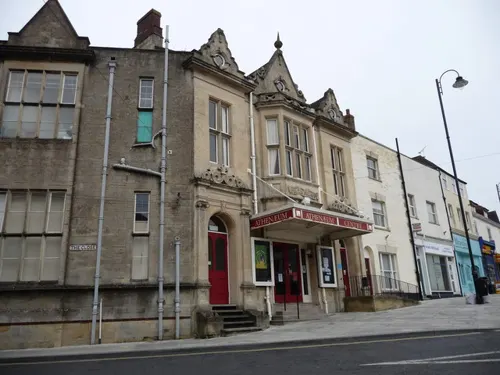
Warminster Athenaeum
Cinema and theater
Theatre in Warminster, England

Museums and landmarks4

Battlesbury Camp
Monument and historic site · 1.4 mi
Site of an Iron Age bivallate hillfort on Battlesbury Hill in Wiltshire, England, UK

Scratchbury Camp
Monument and historic site · 2.3 mi
Hillfort in Wiltshire, England, UK
Parks, trails and playgrounds4



Restaurants and cafes18
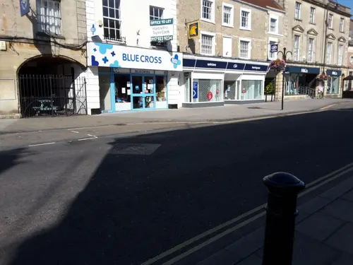
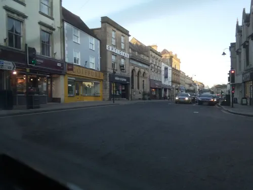
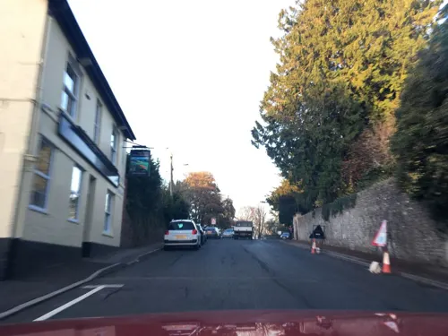





6 more on the map.
History
The main settlement at Warminster dates back to the Anglo-Saxon period, although there is evidence of pre-historic settlements in the area, especially at the nearby Iron Age hill forts: Battlesbury Camp, Scratchbury Camp and Cley Hill. Two Roman villas have been discovered in the area, as have caches of Roman coins.
By the 10th century, Warminster included a royal manor and an Anglo-Saxon minster, with the residents largely associated with the estate. The royal manor was passed to new lords in the 12th century, during which time the township started to grow. In the 13th century a market was set up at Warminster, and by 1377 the town had 304 poll-tax payers, the tenth largest in Wiltshire.
During the Civil War, between 1642 and 1645, the town was the site of a few incidents. A major for the "Roundheads", Henry Wansey, was besieged in Warminster, while a force under Edmund Ludlow entered a skirmish on Warminster Common when trying to relieve him. By 1646, the town had suffered £500 (equivalent to £95,543 in 2025) worth of damages by supporting the Roundheads.
Read more of the history
The market at Warminster was the focus of the town's prosperity, with significant wool, clothing and malting trades established by the 16th century and continuing to be the economic backbone of the town until the 19th century. The market also included a significant corn trade throughout the period and was regarded as the second largest corn market in the west of England in 1830. Unlike many markets of the time where farmers would take only samples to market, Warminster's corn market required a sack from each load of corn to be available to customers; each purchase was to be agreed between 11am and 1pm and paid for by the end of the day.
The town had a large amount of accommodation for visitors to the market, and in 1686 it was ranked fourth for number of places to stay in Wiltshire, with 116 beds. By 1710 there were approximately fifty inns and alehouses in the town. The town was an early adopter of the Turnpikes Act to improve the roads around the town. Unlike many roads improved at the time which would link to towns, Warminster chose to improve seven roads around the town, all under 3 miles (5 km) long.
By the late 18th century some 200 dwellings had been built under squatter's rights near Warminster Common, many of them substandard and overcrowded. William Daniell, a 19th-century Methodist minister, reported the reminiscences of a woman born there in the 1770s: unplastered hovels with earth floors, and piles of filth which poisoned the Cannimore Brook, bringing typhus and smallpox. The people were considered rude and drunk criminals. Daniell and members of the clergy were keen to help the residents, and by 1833 the area was considered clean and respectable.
The town centre was redesigned after 1807 when George Wansey, from a family of clothiers in Warminster, left £1,000 (equivalent to £79,486 in 2025) to improve the town, provided his money could be matched by local fundraising. The amount raised was spent on demolishing houses to widen roads. In 1851, a railway line from Westbury was opened, and then in 1856 the line was continued to Salisbury. The railway had a devastating effect on the town's market, which fell away almost to nothing; the shops and inns lost most of their business, and the local industries declined.
In 1907, a committee was put together to advertise the town, creating a town guide and advertising in national publications. The committee could not come to an agreement with Lord Bath over the location of a new hotel.
The headquarters and factory of luxury glovemakers Dents moved to the town in 1937, where it has remained since.
Between 1937 and 1965, a significant military presence formed at Warminster, with the addition of camps, a permanent barracks at Battlesbury, married quarters, a School of Infantry, and workshops for vehicle repairs.
From the History section of Warminster on Wikipedia, under CC BY-SA 4.0.
More about Warminster
Geography
Warminster is in south-west Wiltshire, near to the Somerset border. The town is surrounded by six hills, providing shelter and security for early settlers. Warminster is also close to the former Selwood Forest.
A minor river known as The Were flows through the town to join the River Wylye on the south-east outskirts.
The former hamlets of Bugley (west of the town on the Frome road) and Boreham (east towards Bishopstrow) are now part of Warminster's suburbs.
Economy
As Warminster is in an area of fertile land, much of its early economy was through farming, especially cereals. William Daniell commented in 1879 that Warminster lay 'in the midst of a fine corn-country', and Warminster's market provided the backbone of the economy through the 16th to 19th centuries. Alongside cereals, wool and clothing were traded and there were a number of maltings in the town.
Warminster's clothing trade suffered greatly in the early 19th century, as there was no suitable river to power machinery during a period of industrialisation. At the same time its malting trade declined but remained important. In 1855, William Morgan commissioned the Pound Street Maltings, which Pevsner found to be derelict in 1974; today, malt is again produced there under new management.
Education
Warminster has several primary schools and two secondary schools: Warminster School, an independent public school which was founded in 1707, and Kingdown School which became an academy in 2011. Nearby Bishopstrow College prepares international students for boarding school.
From the Wikipedia article Warminster, under CC BY-SA 4.0.
Notable people from Warminster
 Will PuddyEnglish footballer (born 1987)Photo: Mattythewhite, CC BY-SA 4.0
- Andy SheppardBritish jazz saxophonist and composer
- Owen Philipps, 1st Baron KylsantBritish politician (1863-1937)
- Ivor PhilippsBritish Liberal Party Member of Parliament (1861-1940)
- Samuel SquireBritish historian, Bishop of St Davids
- John SwayneChief of the General Staff (India); British Army general
- Willie HainesEnglish footballer (1900-1974)
- Lucy Mary SilcoxEnglish headmistress and feminist (1862-1947)
- Ernest FordBritish composer and conductor (1858-1919)
- Bob PomphreyEnglish cricketer (born 1944)
- Samuel Butler ProvisBritish civil servant (1845–1926)
- Arthur Graham Brown
Born in Warminster, according to Wikidata (CC0). Each name links to its Wikipedia article.
Where to stay4
Churches and places of worship16
Shopping4
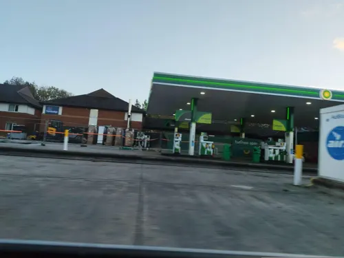
Gas and EV charging3
Schools, colleges and libraries12
Sambourne Church of England Voluntary Controlled Primary School
School · Anglican · 0.5 mi
Sambourne Road, Warminster
Healthcare1
Map of Warminster
70 places. The map loads OpenStreetMap tiles when you open it.
Getting there and nearby towns
Upavon Airfield (UPV) is the nearest airport with scheduled flights listed in OpenStreetMap, 18 miles away.
- Westbury 4 mi north, about 6 min by car
- Bath 14 mi northwest, about 23 min by car
- Wells 20 mi west, about 33 min by car
- Bristol 25 mi northwest, about 40 min by car
- Yate 25 mi northwest, about 41 min by car
- Royal Wootton Bassett 26 mi northeast, about 42 min by car
- Swindon 30 mi northeast, about 48 min by car
- Wimborne Minster 30 mi south, about 49 min by car
- Yatton 31 mi northwest, about 49 min by car
- Poole 35 mi south, about 56 min by car
Drive times are estimates from straight-line distance, not routes.
Towns near Warminster


Keep exploring
Local news
Headlines from INDB.
Reviews, tips and questions
Loading what members have shared...
Sources and licences
- GeoNames (CC BY 4.0): population, coordinates, regions and time zone
- Mapillary (see each image): photos
- OpenStreetMap contributors (ODbL 1.0): places, airports, map data
- Openverse (see each image): photos
- Wikidata (CC0 1.0): elevation, founding date, time zone, website, landmarks and historic places
- Wikimedia Commons (see each image): photos
- Wikipedia (CC BY-SA 4.0): overview and history text
Photo credits
- 71 Market Place, Warminster 01, Simon Burchell, CC BY-SA 4.0
- 71 Market Place, Warminster 02, Simon Burchell, CC BY-SA 4.0
- Old Bell Hotel, Warminster, December 2018, Moonraker, CC BY-SA 4.0
- Scratchbury Camp 23, Simon Burchell, CC BY-SA 4.0
- St Leonard's Church, Sutton Veny 06, Simon Burchell, CC BY-SA 4.0
- Battlesbury Camp 25, Simon Burchell, CC BY-SA 4.0
- Church of St John the Evangelist, Warminster, Peter Wood, CC BY-SA 2.0
- Warminster - The Athenaeum Centre, Chris Talbot, CC BY-SA 2.0
- Plaque on the Obelisk, Warminster, Phil Williams, CC BY-SA 2.0
- Street-level photo, dcp, CC BY-SA 4.0
- Street-level photo, jarosor0, CC BY-SA 4.0
- Street-level photo, jarosor0, CC BY-SA 4.0
- Street-level photo, southglos, CC BY-SA 4.0
- Street-level photo, southglos, CC BY-SA 4.0
- Street-level photo, southglos, CC BY-SA 4.0
- Street-level photo, southglos, CC BY-SA 4.0
- Street-level photo, dcp, CC BY-SA 4.0
- Street-level photo, iced, CC BY-SA 4.0
- Street-level photo, southglos, CC BY-SA 4.0
- Street-level photo, jarosor0, CC BY-SA 4.0
- Street-level photo, jarosor0, CC BY-SA 4.0
- Street-level photo, southglos, CC BY-SA 4.0
- Street-level photo, jacobgriff6, CC BY-SA 4.0
- Street-level photo, jarosor0, CC BY-SA 4.0
- Street-level photo, RyanBush, CC BY-SA 4.0
- Street-level photo, noid, CC BY-SA 4.0
- Street-level photo, southglos, CC BY-SA 4.0

Page built November 10, 2026. Spotted a mistake? Tell us or suggest a place.