


Newtonmore, United Kingdom
Newtonmore is a town of 1,100 people in Scotland, United Kingdom.
Why visit Newtonmore
Townapedia lists 47 museums and landmarks, 5 parks and trails, 8 places to eat, 18 places to stay and 3 attractions in and around town.
Highlights include Highland Folk Museum, Clan McPherson House & Museum and Newtonmore Golf Club.
Weather in Newtonmore
Forecast from MET Norway (CC BY 4.0). Full forecast
About Newtonmore
Newtonmore (Scottish Gaelic: Baile Ùr an t-Slèibh [ˈpˠalʲ uːɾˠ ən̪ˠ ˈt̪ʰlʲeːv]) is a village of approximately 1100 inhabitants in Badenoch, within the Highland council area of Scotland. The village is only a few miles from a location that is claimed to be the exact geographical centre of Scotland.
From the Wikipedia article Newtonmore (this version), under CC BY-SA 4.0.
Things to do3

Museums and landmarks47

Highland Folk Museum
Museum · 0.7 mi
Several old houses are reconstructed crafters' buildings. Has animals as well.
Sep 01-Oct 31: Mo-Su 10:30-16:00; Mar 29-Aug 31: Mo-Su 10:00-17:00

Clan McPherson House & Museum
Museum
Main Street
Apr-Oct: Mo-Sa 10:00-17:00; Apr-Oct: Su 12:00-17:00


Newtownmore Cairn (Prehistoric)
Monument and historic site · 0.6 mi
This cairn is situated on a slight rise on the valley floor to the N of the confluence of the Rivers Calder and Spey. It measures 13m in...
35 more on the map.
Parks, trails and playgrounds5


Restaurants and cafes8
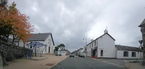
The Letterbox
Restaurant
Main Street, Newtonmore
Th,Fr,Sa 18:00-22:00 "last orders 20:00"; Tu,We,Su "open for...
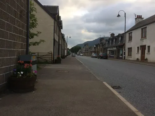
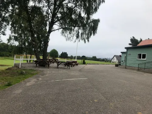
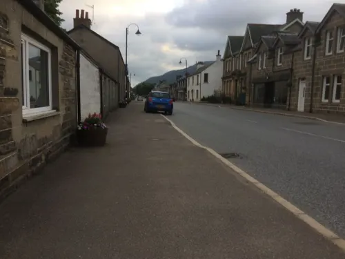
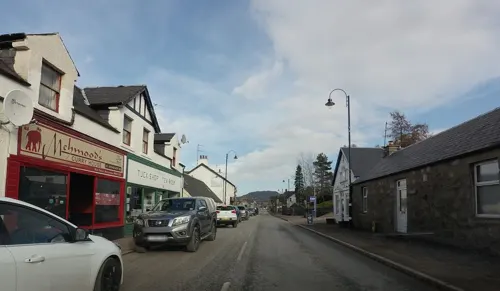
Mehmood's Curry House
Fast food · Indian, Pizza
Main Street, Newtonmore
We-Mo 16:00-22:00; Tu closed

History
Newtonmore does not appear on William Roy's Survey of Scotland (1747–1752), however some of the surrounding crofts do including Bannaker, now Banchor Mains Farm, on the banks of the Calder.
In 1756, a bridge was constructed over the River Spey at the confluence of the River Calder near Ralia, largely replacing the ferry 4 miles (6 km) downstream at Ruthven. The road to Kingussie was realigned along the north bank of the Spey and the village founded by James Macpherson of Belleville to house dispossessed tenantry, the first houses being built in 1820 where the Perth-Inverness Road met the old drove road to Laggan, between the River Calder and the Allt Laraidh.
The settlement was sometimes known as Benchar Village before being named Newtonmore, which simply means "new town (on/of the) moor".
From the History section of Newtonmore on Wikipedia, under CC BY-SA 4.0.
More about Newtonmore
Arts and culture
The village is home to The Wildcat Experience, aimed at families with children, where participants try to track down the 130 painted model wildcats located around the village. It is based on a community arts project – but everyone in the village had the chance to be involved.
Newtonmore is the site of the open-air Highland Folk Museum since the 1980s. It is located on Kingussie Road, on the eastern outskirts of the village.
The village is also home to the Clan Macpherson House and Museum, situated at the junction of Perth Road, Laggan Road and Main Street. The museum opened in 1952, with the exhibition mainly containing items from the nearby Cluny Castle which had recently been sold. The displays in the museum were significantly reworked in 1984–1985 and in winter 2004–2005.
The Newtonmore Highland games and Clan Macpherson Rally are held every year at The Eilan, on the first Saturday in August. The first games were held in October 1945 on the golf course, but moved to their present venue in 1950. A central part of the event is the Creag Dhubh hill race.
Newtonmore was one of the locations used in the filming of the BBC drama Monarch of the Glen and is in Monarch Country.
From the Wikipedia article Newtonmore, under CC BY-SA 4.0.
Notable people from Newtonmore
 Jimmy BainScottish bassist (1947–2016)Photo: Dana Wullenwaber, CC BY-SA 2.0
- George MacPhersonScottish rugby union footballer
- Niall Macpherson, 1st Baron DrumalbynBritish politician (1908-1987)
Born in Newtonmore, according to Wikidata (CC0). Each name links to its Wikipedia article.
Where to stay18
Churches and places of worship1
Shopping2
Gas and EV charging1
Schools, colleges and libraries1
Healthcare2
Map of Newtonmore
88 places. The map loads OpenStreetMap tiles when you open it.
Getting there and nearby towns
Inverness Airport (INV) is the nearest airport with scheduled flights listed in OpenStreetMap, 33 miles away.
- Kingussie 3 mi east, about 4 min by car
- Inverness 29 mi north, about 46 min by car
- North Kessock 31 mi north, about 49 min by car
- Nairn 37 mi north, about 59 min by car
- Strathpeffer 39 mi northwest, about 1 h by car
- Fort William 41 mi southwest, about 1 h by car
- Rothes 47 mi northeast, about 1 h 15 min by car
- Elgin 50 mi northeast, about 1 h 15 min by car
- Perth 53 mi southeast, about 1 h 30 min by car
- Forfar 55 mi southeast, about 1 h 30 min by car
Drive times are estimates from straight-line distance, not routes.
Towns near Newtonmore


Keep exploring
Local news
Headlines from INDB.
Reviews, tips and questions
Loading what members have shared...
Sources and licences
- GeoNames (CC BY 4.0): population, coordinates, regions and time zone
- Mapillary (see each image): photos
- OpenStreetMap contributors (ODbL 1.0): places, airports, map data
- Wikidata (CC0 1.0): elevation, founding date, time zone, website
- Wikimedia Commons (see each image): photos
- Wikipedia (CC BY-SA 4.0): overview and history text
Photo credits
- Newtonmore, Village Hall, Drnoble, CC BY-SA 3.0
- Newtonmore by Richard Webb, Richard Webb, CC BY-SA 2.0
- 170395 Newtonmore, Phil Sangwell, CC BY 2.0
- The Glen Hotel , Newtonmore. (4015391668), Phil Sangwell from United Kingdom, CC BY 2.0
- Newtonmore main street (4015355054), Phil Sangwell from United Kingdom, CC BY 2.0
- Newtonmore, War Memorial, Drnoble, CC BY-SA 3.0
- 2011 Inverness-shire Highland Folk Museum 28-05-2011 16-54-22, Paul Hermans, CC BY-SA 3.0
- Clan Macpherson Museum, Drnoble, CC BY-SA 3.0
- Street-level photo, hobgoblin, CC BY-SA 4.0
- Street-level photo, drnoble, CC BY-SA 4.0
- Street-level photo, xdTAGCLAN, CC BY-SA 4.0
- Street-level photo, hobgoblin, CC BY-SA 4.0
- Street-level photo, hobgoblin, CC BY-SA 4.0
- Street-level photo, drnoble, CC BY-SA 4.0
- Street-level photo, drnoble, CC BY-SA 4.0
- Street-level photo, drnoble, CC BY-SA 4.0
- Street-level photo, hobgoblin, CC BY-SA 4.0
- Street-level photo, xdTAGCLAN, CC BY-SA 4.0
- Street-level photo, drnoble, CC BY-SA 4.0
- Street-level photo, hobgoblin, CC BY-SA 4.0
- Street-level photo, drnoble, CC BY-SA 4.0
- Street-level photo, drnoble, CC BY-SA 4.0
- Street-level photo, drnoble, CC BY-SA 4.0
- Street-level photo, drnoble, CC BY-SA 4.0
- Street-level photo, xdTAGCLAN, CC BY-SA 4.0
- Street-level photo, hobgoblin, CC BY-SA 4.0
- Street-level photo, xdTAGCLAN, CC BY-SA 4.0
- Street-level photo, drnoble, CC BY-SA 4.0
- Street-level photo, drnoble, CC BY-SA 4.0
- Street-level photo, hobgoblin, CC BY-SA 4.0
- Street-level photo, chrisbeddow, CC BY-SA 4.0
- Street-level photo, hobgoblin, CC BY-SA 4.0
- Street-level photo, hobgoblin, CC BY-SA 4.0
Page built November 10, 2026. Spotted a mistake? Tell us or suggest a place.