


Why visit Normandy
Townapedia lists 16 museums and landmarks, 29 parks and trails, 19 places to eat, 1 place to stay and 33 attractions in and around town.
Highlights include Hippodrome, Inglis Pipe Bridge, Aldershot Cenotaph and Ash Chapel Museum.
Weather in Normandy
Forecast from MET Norway (CC BY 4.0). Full forecast
About Normandy
Normandy is a village and civil parish of 16.37 square kilometres (4,050 acres) in the borough of Guildford in Surrey, England. Almost surrounded by its hill ranges, Normandy is in the plain west of Guildford, straddles the A323 'Aldershot Road' and is north of the narrowest part the North Downs known as the Hog's Back which carries a dual carriageway. The parish in 2011 had a population of 2,981 living in 1,310 households, has woods, a public common and four government-operated commons to the north that are an SSSI heath. Normandy has been home to a number of notable residents, including William Cobbett.
From the Wikipedia article Normandy, Surrey (this version), under CC BY-SA 4.0.
Photos of Normandy


Things to do33
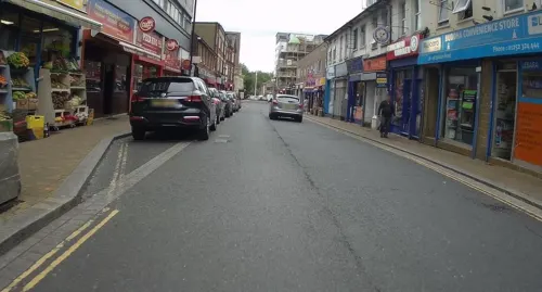
Hippodrome
Cinema and theater · 3.8 mi
Former theatre and cinema in Aldershot, England


Princes Hall
Cinema and theater · 4.1 mi
Theatre in Aldershot, England

Theatre Royal, Aldershot
Cinema and theater · 3.9 mi
Former theatre in Aldershot, England

21 more on the map.
Museums and landmarks16

Aldershot Cenotaph
Monument and historic site · 4.1 mi
War memorial in Aldershot, Hampshire, England, UK

FAST Museum
Museum · 3.8 mi
Aviation museum in Hampshire, England, United Kingdom

Lewis Elton Gallery
Museum · 3.8 mi
Art gallery at the University of Surrey's Guildford campus

Loseley Park
Museum · 4.2 mi
Grade I listed historic house museum in Artington, United Kingdom

Museum of Military Medicine
Museum · 2.3 mi
Military museum in Mytchett, Surrey, United Kingdom

Royal Army Medical Corps Boer War Memorial
Monument and historic site · 3.8 mi
Sculpture in Rushmoor, Hampshire, England, UK

Royal Army Physical Training Corps Museum
Museum · 3.5 mi
Museum in Aldershot, United Kingdom



4 more on the map.
Parks, trails and playgrounds29


Burner's Heath and Swallows Pond
Park · 2.5 mi
Nature reserve in Pirbright in Surrey, South East England



Lakeside Park
Park · 2.3 mi
Local nature reserve in Ash, Surrey, England, UK

Littlefield Common
Hiking and trails · 2.2 mi
Nature reserve south-west of Worplesdon in Surrey, England
17 more on the map.
Restaurants and cafes19
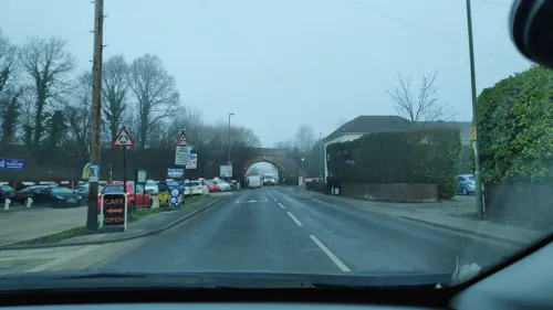
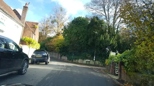
La Vang Indian Gastronomy
Restaurant · Indian · 2.3 mi
319 Vale Road, Ash Vale
Mo-Th 17:00-22:00; Fr-Sa 17:00-22:30; Su 16:30-21:30
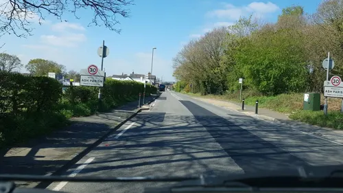
The Good Intent
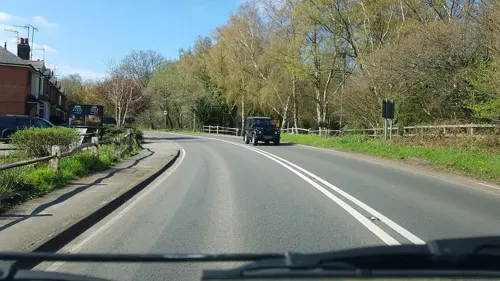
Bar and pub · 2.5 mi
60-62 The Street
Mo 17:00-23:00; Tu-Th 12:00-15:00,17:00-23:00; Fr-Sa 12:00-23:00;...

The Swan
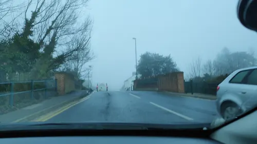
Bar and pub · 2.0 mi
2 Hutton Road, Ash Vale
Mo-Th 11:00-23:00; Fr,Sa 09:00-23:00; Su 09:00-22:30

Christmas Bakery
Bakery · 2.0 mi
Wharf Road, Ash Vale
Mo 07:30-14:00; Tu-Fr 07:30-15:00; Sa 08:00-14:00; Su off
The Admiral
Bar and pub · 2.1 mi
72 Vale Road, Ash Vale
Tu-Fr 12:00-15:00, 17:00-20:00; Sa 12:00-20:00; Su 12:00-16:00

7 more on the map.
History
As a parish, the history of Normandy is the combined history of its constituent hamlets which in modern times include Christmas Pie, Flexford, Willey Green, Wyke, Pinewoods and Normandy proper.
The earliest known occurrence of the name Normandy is from 1604, when the court records of the Manor of Cleygate refer to Normandy Causeway, previously called Frimsworth Causeway. The same records in the same year also mention a messuage with a garden in Normandy. The name Frimsworth (also Frymsworth, Frymlesworth, Fremsworth, etc.) is much older, being first recorded in 1225, but no longer survives: however, it coexisted for some time with that of Normandy, and the two appear to have referred to different parts of the parish (Frimsworth to an area between Normandy and Willey Green; Normandy to the area around Normandy Common and the manor house known as Normandy Farm, once leased to William Cobbett).
Read more of the history
The derivation of the name is uncertain. The village has no direct connection with the Duchy of Normandy, and it is not mentioned in Domesday Book. The Surrey volume of the English Place-Name Society, published in 1934, suggests that the name was taken from the public house called "The Duke of Normandy", and this remains a popular interpretation. However, the pub was built in the 1860s, and is not known to have replaced an earlier building, so it is more likely that it was named after the village rather than the other way around. It has also been suggested that the monks of Waverley Abbey named the village after their homeland in northern France because of a similarity in the local landscapes – but the abbey's landholdings did not extend as far as the village of Normandy. A third speculative theory offered by local historians is that Normandy Common may be the common referred to in the Cleygate records as a part of the manor in the north and west, "lately called Noebodies Common", because it lay on the boundary of two manors: as such, it might also have been referred to as "No Man's Land", which might eventually have been corrupted to "Normandy".
There is evidence on the parishes eastern border of Romano-British occupation in the form of temple remains. In late Saxon England the lands were within the holdings of Earl Godwin, father of King Harold Godwinson. Later, the Domesday Book in its account of the manor of Henley (now represented only by the Henley Park manor house) records that the manor covered large parts of what is now Normandy, as well as Ash; Normandy though was not mentioned by name, the name not being known in the records until 1604. The lands remained within the ancient manor of Henley until the end of the 14th century. At this time the manor of Cleygate began to be carved out of the manor of Henley. As a manor, Cleygate is first mentioned when Henry VI granted the manor to his uterine brother, Jasper the Earl of Pembroke. After Jasper was attainted by Edward IV his lands were forfeited, but were passed back to him in 1485 when his attainder was reversed. After that, the Manor passed through a number of hands, reverting to the crown on more than one occasion.
By the time the final part of the Manor of Cleygate was sold to the War Department in 1876, most of the Manor had been sold to private individuals, and that included much of what is now the parish of Normandy. The three private estates making up the parish were those of Henley Park, Westwood and Normandy Park. Normandy Farm was the final home of the early 19th century radical reformer and agrarian William Cobbett, the author of Rural Rides.
Into the twentieth century Normandy retained its agricultural base. The locality of Normandy was considered for the site of a "New Town" to be called "New Norman" in the 1943 Town and Country Plan produced by the Surrey Federation of Labour Parties. However, this did not come to pass and the village into the twenty-first century remains protected within London's green belt.
On 3 August 2007 the Department for Environment, Food and Rural Affairs (DEFRA) confirmed that cattle on farmland within the parish were found to be infected with foot-and-mouth disease. This was the first outbreak of its kind in the UK for six years.
From the History section of Normandy, Surrey on Wikipedia, under CC BY-SA 4.0.
More about Normandy
Geography
As well as the village of Normandy clustered around the crossroads of the Guildford-Aldershot Road (the A323), Hunts Hill Road and Glaziers Lane, the parish also includes Christmas Pie, Willey Green, Wyke, Flexford and Pinewoods. These hamlets, although distinct, are strung together in a swathe of development with largely residential use apart from Pinewoods that is separated by much open land and is close to Ash near to Aldershot. Normandy Common has a picnic site and stream with a path west that leads to Normandy Hill, Wyke overlooking parts of all the heath of nearby commons but not restricted. Four joint commons are north of the partly wooded promontory: Ash, Wyke, Cleygate and Pirbright, an SSSI but also a non-public access Danger Area, in use by the MOD
In the south of the parish, touching an arm of Normandy village and all of Flexford (another clustered development), stands Wanborough railway station, so-called because the owner of the land, diplomat and civil servant Algernon West lived in Wanborough 1 mile (1.6 km) south. Development locally is restricted as the village lies within the Metropolitan Green Belt. Little woods and acid heathland including Normandy Common are scattered in the north; to the south is mainly arable farmland.
Education
Normandy Village School (previously known as Wyke Primary), founded in 1875, is a school for boys and girls aged 4–11. It is situated on the outskirts of Normandy village and welcomes children from the local community and from the surrounding areas. The current headteacher is Jonathan Franks and the chair of Governors is James Finch. The school is part of the South Farnham Educational Trust and enjoys the support of a parent's association called 'The Friends of NVS' who fundraise for the school.
From the Wikipedia article Normandy, Surrey, under CC BY-SA 4.0.
Where to stay1
Churches and places of worship20
Shopping3
Gas and EV charging1
Schools, colleges and libraries11
Healthcare4
Map of Normandy
137 places. The map loads OpenStreetMap tiles when you open it.
Getting there and nearby towns
Farnborough Airport (FAB) is the nearest airport with scheduled flights listed in OpenStreetMap, 4 miles away.
- Aldershot 4 mi west, about 6 min by car
- Farnborough 4 mi northwest, about 7 min by car
- Guildford 5 mi east, about 7 min by car
- Frimley 5 mi northwest, about 8 min by car
- Godalming 6 mi southeast, about 9 min by car
- Farnham 6 mi southwest, about 10 min by car
- Camberley 6 mi northwest, about 10 min by car
- Woking 7 mi northeast, about 11 min by car
- Fleet 7 mi west, about 11 min by car
- Sandhurst 8 mi northwest, about 13 min by car
Drive times are estimates from straight-line distance, not routes.
Towns near Normandy


Keep exploring
Local news
Headlines from INDB.
Reviews, tips and questions
Loading what members have shared...
Sources and licences
- GeoNames (CC BY 4.0): population, coordinates, regions and time zone
- Mapillary (see each image): photos
- OpenStreetMap contributors (ODbL 1.0): places, airports, map data
- Wikidata (CC0 1.0): elevation, founding date, time zone, website, landmarks and historic places
- Wikimedia Commons (see each image): photos
- Wikipedia (CC BY-SA 4.0): overview and history text
Photo credits
- Normandy village war memorial 2007, SuzanneKn at English Wikipedia, Public domain
- Courts 1 and 2, Normandy Tennis Club, Hunts Hill Road, Normandy, Surrey, Mertbiol, CC0
- Court 3, Normandy Tennis Club, Hunts Hill Road, Normandy, Surrey, Mertbiol, CC0
- Children's playground, Normandy Common, Hunts Hill Road, Normandy, Surrey, Mertbiol, CC0
- Football pitch, Normandy Common, Hunts Hill Road, Normandy, Surrey, Mertbiol, CC0
- Normandy War Memorial, Guildford Road, Normandy, Surrey, Mertbiol, CC0
- Pavilion, Normandy Cricket Club, Surrey, Mertbiol, CC0
- Cricket nets, Fred Mayhead Memorial Ground, Normandy Cricket Club, Surrey 01, Mertbiol, CC0
- Cricket nets, Fred Mayhead Memorial Ground, Normandy Cricket Club, Surrey 02, Mertbiol, CC0
- Inglis Bridge Aldershot 2020, Jack1956, CC BY-SA 4.0
- Princes Hall Aldershot 2016, Jack1956, CC0
- Municipal Gardens Aldershot Cenotaph, Jack1956, CC0
- Lewis Elton Gallery, Murgatroyd49, CC BY-SA 4.0
- Loseley Park 03, Andrew Wilkinson from London, CC BY-SA 2.0
- Noel Chavasse Memorial, Gaius Cornelius, CC BY-SA 3.0
- RAMC Memorial Aldershot, Jack1956, CC0
- Royal Army Physical Training Corps Museum gallery3, Jack1956, CC0
- Watts Gallery (Restored), ©Watts Gallery, CC BY-SA 3.0
- Brookwood Lye 6, Dudley Miles, CC BY-SA 4.0
- Burner's Heath and Swallows Pond 4, Dudley Miles, CC BY-SA 4.0
- Wesley Chambers, Aldershot, Lewis Hulbert, CC BY-SA 3.0
- AldershotCathedral-2, AldershotCathedral.jpg : JohnArmagh derivative work: Rabanus Flavus, CC BY-SA 3.0
- St Edward the Martyr Orthodox Church, Brookwood Cemetery, Brookwood (June 2015) (2), Hassocks5489, CC0
- Church of St Michael the Archangel, Aldershot from the road, Lewis Hulbert, CC BY-SA 3.0
- Compton, Surrey. Church of St. Nicholas DSC 2785 edited-1, Ainslie, CC BY-SA 3.0
- St Peter's Church, Ash Church Road, Ash (May 2014) (2), Hassocks5489, CC0
- Holy Trinity Church Aldershot, User:Jack1956, CC0
- New Testament Church of God Aldershot, Jack1956, CC0
- St Andrews Aldershot 2019, Jack1956, CC BY-SA 4.0
- UniSSoM, Mark Boyce, CC BY-SA 3.0
- St John the Baptist's Church, The Street, Puttenham (May 2014) (4), Hassocks5489, CC0
- St Alban's Church, Wood Street Village, Guildford (April 2014, from South-Southeast) (2), Hassocks5489, CC0
- Drake Pavilion, Unknown author, Public domain
- Manor Park Aldershot Gates, Jack1956, CC0
- Aldershot Park Signage, Jack1956, CC0
- Brickfields Country Park 2020, Jack1956, CC BY-SA 4.0
- ZJ496 at the FAST Museum (8631013999), Simon Boddy from Maidenhead, Uk, CC BY-SA 2.0
- Street-level photo, taft, CC BY-SA 4.0
- Street-level photo, jpennycook, CC BY-SA 4.0
- Street-level photo, jpennycook, CC BY-SA 4.0
- Street-level photo, adam2, CC BY-SA 4.0
- Street-level photo, richardc, CC BY-SA 4.0
- Street-level photo, jpennycook, CC BY-SA 4.0
- Street-level photo, jpennycook, CC BY-SA 4.0
- Street-level photo, richardc, CC BY-SA 4.0
- Street-level photo, taft, CC BY-SA 4.0
- Street-level photo, richardc, CC BY-SA 4.0
- Street-level photo, richardc, CC BY-SA 4.0
- Street-level photo, jpennycook, CC BY-SA 4.0
- Street-level photo, richardc, CC BY-SA 4.0
- Street-level photo, taft, CC BY-SA 4.0
- Street-level photo, taft, CC BY-SA 4.0
- Street-level photo, richardc, CC BY-SA 4.0


Page built November 10, 2026. Spotted a mistake? Tell us or suggest a place.