

Why visit Outwell
Townapedia lists 7 places to eat and 2 places to stay in and around town.
Weather in Outwell
Forecast from MET Norway (CC BY 4.0). Full forecast
About Outwell
Outwell is a village and civil parish in the borough of King's Lynn and West Norfolk, in the English county of Norfolk.
From the Wikipedia article Outwell (this version), under CC BY-SA 4.0.
Restaurants and cafes7
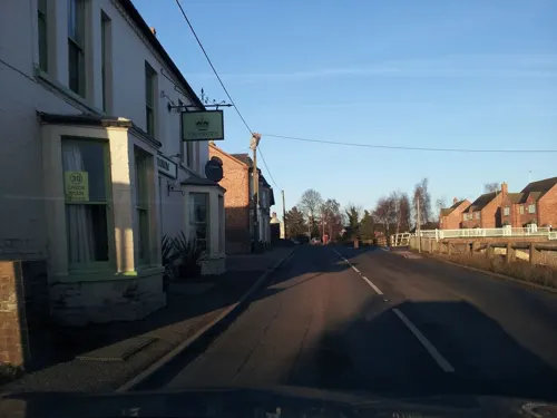
Where to stay2
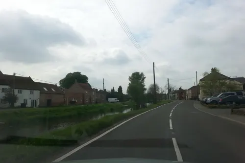

Churches and places of worship4


Gas and EV charging1
History
According to A Dictionary of British Place Names, derives from the Old English 'wella', meaning "a place at the spring or stream", combined with 'ūte', meaning "outer [or] lower downstream", distinguishing the place from Upwell, which is 1 mile (1.6 km) to the south. In 963 the settlement was referred to as 'Wellan', and in the 1086 Domesday Book, 'Utuuella'. Molycourt Priory in the parish dated from before the Norman Conquest of 1066, becoming a cell of Ely Cathedral and surviving until the Dissolution of the Monasteries.
Outwell has an entry in the Domesday Book of 1086. The parish was in the custody William de Warenne. The survey also records 16 bordars with lands worth 5s. as belonging to Saint Benedict's Abbey in Ramsey.
There was a Village lock-up until c.1871 when it was sold to Mr Elworthy for £19.
Read more of the history
In the Middle Ages the River Nene determined the layout of Outwell. Since that time, the landscape of the whole district has consequently been much altered by the construction of several large drains which run through the parish. In the 17th century Popham's Eau was cut to provide a conduit for the waters of the old River Nene into the River Great Ouse at Salter's Lode. This was followed by many alterations and new drains being dug. In May 1862 one sixth of the Parish of Outwell was inundated with water when the Middle Level Drain burst through its banks. It took three years before the area had fully recovered from the flood. Also constructed across the parish was the Wisbech Canal, now disused, which followed the course of the Well Stream as far as Outwell church and then struck across in a southeasterly direction to join Popham's Eau at Nordelph.
One benefit of the drains, washes and other watercourse around the Fens is the sport of Fen skating. During the cold winters of the 1820s and 1830s there were a number of fenmen who made a name for themselves as skaters, such as James May of Upwell.
Beaupré Hall was a large 16th-century manor house on the outskirts of Outwell, built by the Beaupre family, who also financed Catholic chapels attached to the church at Outwell. It was later lived in by Robert Bell during the reign of Elizabeth I. In decline since the Victorian era, during the First World War, the hall was commandeered by the RAF and later used for holiday housing. Following this the Hall fell into a state of further disrepair until its demolition in 1966.
From the History section of Outwell on Wikipedia, under CC BY-SA 4.0.
More about Outwell
Geography
The village is 45 miles (70 km) west of Norwich, 12 miles (20 km) south-west of King's Lynn and 80 miles (100 km) north of London; the nearest town is Wisbech, which is 5 miles (8 km) north-west of the village.
Outwell is on the route of the A1101 road, close to the A47. The nearest railway station is Downham Market on the Fen Line between King's Lynn and Cambridge, and the nearest airport is Norwich Airport.
The village and parish of Outwell is on the western edge of the county of Norfolk which borders Cambridgeshire. Until 1990 Outwell parish was split with half in Norfolk and half in Cambridgeshire with the boundary falling along the old course of the River Nene. The boundary also cut straight through the middle of the village. In 1935 the part of Outwell which was in Cambridgeshire was reduced in size to enlarge the nearby village of Emneth. Outwell parish today is part of the King's Lynn and West Norfolk local government district.
From the Wikipedia article Outwell, under CC BY-SA 4.0.
Schools, colleges and libraries2
Healthcare1
Map of Outwell
17 places. The map loads OpenStreetMap tiles when you open it.
Getting there and nearby towns
RAF Marham (KNF) is the nearest airport with scheduled flights listed in OpenStreetMap, 14 miles away.
- Emneth 3 mi northwest, about 4 min by car
- Wisbech 5 mi northwest, about 8 min by car
- Downham Market 6 mi east, about 10 min by car
- March 7 mi southwest, about 12 min by car
- West Walton 7 mi north, about 11 min by car
- Terrington St Clement 11 mi north, about 17 min by car
- Clenchwarton 11 mi northeast, about 18 min by car
- King's Lynn 12 mi northeast, about 19 min by car
- Chatteris 13 mi southwest, about 21 min by car
- Ely 15 mi south, about 23 min by car
Drive times are estimates from straight-line distance, not routes.
Towns near Outwell


Keep exploring
Local news
Headlines from INDB.
Reviews, tips and questions
Loading what members have shared...
Sources and licences
- GeoNames (CC BY 4.0): population, coordinates, regions and time zone
- Mapillary (see each image): photos
- OpenStreetMap contributors (ODbL 1.0): places, airports, map data
- Wikidata (CC0 1.0): elevation, founding date, time zone, website
- Wikimedia Commons (see each image): photos
- Wikipedia (CC BY-SA 4.0): overview and history text
Photo credits
- Saint Clements, Outwell South West Norfolk, John Salmon, CC BY-SA 2.0
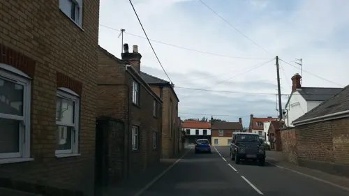
- Street-level photo, adam2, CC BY-SA 4.0
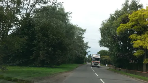
- Street-level photo, adam2, CC BY-SA 4.0
- Street-level photo, adam2, CC BY-SA 4.0
- Street-level photo, adam2, CC BY-SA 4.0
- Street-level photo, adam2, CC BY-SA 4.0
- Street-level photo, adam2, CC BY-SA 4.0
- Street-level photo, adam2, CC BY-SA 4.0
- Street-level photo, adam2, CC BY-SA 4.0
- Street-level photo, adam2, CC BY-SA 4.0
- Street-level photo, adam2, CC BY-SA 4.0
Page built November 10, 2026. Spotted a mistake? Tell us or suggest a place.