


Why visit Pilsley
Townapedia lists 4 museums and landmarks, 7 parks and trails, 15 places to eat, 1 place to stay and 1 attraction in and around town.
Highlights include Danesmoor War Memorial and Hardwick Hall.
Weather in Pilsley
Forecast from MET Norway (CC BY 4.0). Full forecast
About Pilsley
Pilsley is a village and civil parish in the district of North East Derbyshire in the county of Derbyshire, England, near the town of Chesterfield. At the 2011 Census the population was 3,487.
From the Wikipedia article Pilsley, North East Derbyshire (this version), under CC BY-SA 4.0.
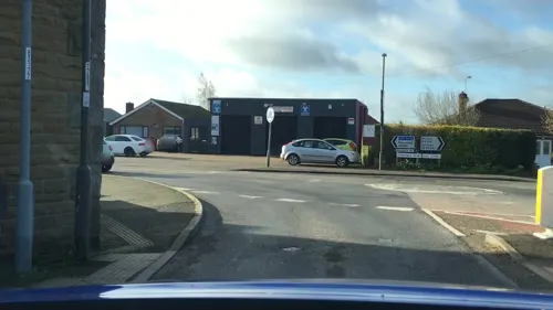
Photos of Pilsley

Things to do1

Museums and landmarks4

Danesmoor War Memorial
Monument and historic site · 1.7 mi
Grade II listed war memorial in Clay Cross, North East Derbyshire, England, UK

Hardwick Hall
Museum · 2.7 mi
Elizabethan country house in Derbyshire, England, UK

Stainsby Mill
Museum · 3.0 mi
Grade II listed watermill in Stainsby, Ault Hucknall, Bolsover, England, UK

Parks, trails and playgrounds7


Restaurants and cafes15
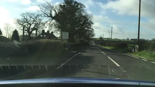
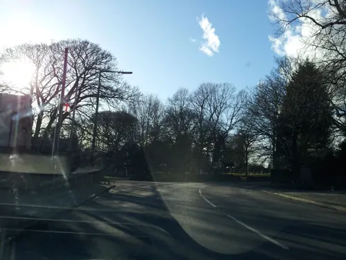
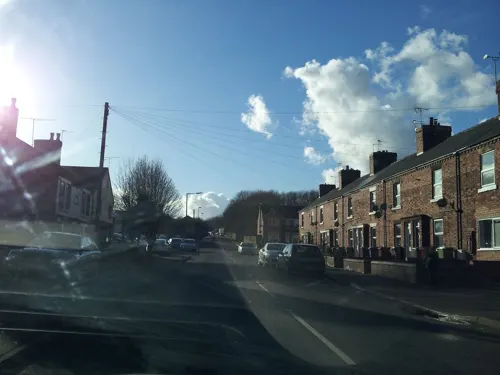
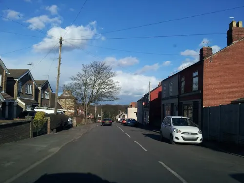



3 more on the map.
History
Pilsley is mentioned in the Domesday Book as one of the manors belonging to Walter D'Aincourt.
Before 1800, Pilsley was an agricultural settlement consisting of Upper Pilsley and Nether Pilsley. Few of the houses from that period still exist: there are some on the corner of Station Road and Sitwell Grange Lane near the Primary School and others around Barlow Bank, Barlow Bank Farm and Grange Farm in Upper Pilsley near the site of the village well. These houses are made from locally quarried coal-measure sandstone which is soft and contains a high percentage of iron. This quarry no longer exists, but was north of Upper Pilsley.
Pilsley Colliery was founded in 1866 on the site of the present day Locko Plantation. At its peak the colliery comprised six shafts, employed 945 men and produced 1,200 tons of coal per shift. The colliery was closed in 1957.
Read more of the history
Pilsley consists of two distinct residential areas known as Lower Pilsley and Pilsley (sometimes Upper Pilsley), Lower Pilsley to the north and Pilsley to the south. There is some local disagreement as to whether these two areas constitute two separate villages or one larger village. At the start of the village's life, people referred to the area around what is now Pilsley primary as Nether Pilsley. Both areas of the village are united by the same parish council, Pilsley Parish Council, which was formed on 30 January 1874, Pilsley having previously been part of the parish of North Wingfield. Maps show that the village is made up of four separate residential areas, which are, in order from north to south, Lower Pilsley, Upper Pilsley, Pilsley and Nether Pilsley.
From the History section of Pilsley, North East Derbyshire on Wikipedia, under CC BY-SA 4.0.
Notable people from Pilsley
 Archibald SlaterEnglish cricketer (1890-1949)Photo: Bslater87, CC BY-SA 4.0
- Sam WeaverEnglish footballer and manager (1909-1985)
- Jack Bradfordfootballer (1895-1969)
- George GregoryEnglish cricketer (1878-1958)
- Thomas HallamEnglish cricketer (1881-1958)
- Albert Worthyfootballer (1905-1978)
Born in Pilsley, according to Wikidata (CC0). Each name links to its Wikipedia article.
Where to stay1
Churches and places of worship14
Bridge Street Evangelical Methodist Church
Church · Methodist · 0.5 mi
Bridge Street
Shopping2
Fred's Shed Antiques & Restorations
Shop · 1.2 mi
Unit C Suite 2 Enterprise House Business Centre Newton Road, Alfreton
Gas and EV charging1
Schools, colleges and libraries6
Healthcare2
Map of Pilsley
53 places. The map loads OpenStreetMap tiles when you open it.
Getting there and nearby towns
Nottingham City Airport (NQT) is the nearest airport with scheduled flights listed in OpenStreetMap, 20 miles away.
- Shirland 3 mi southwest, about 4 min by car
- Alfreton 4 mi south, about 6 min by car
- Glapwell 4 mi northeast, about 7 min by car
- Sutton in Ashfield 5 mi east, about 8 min by car
- Pinxton 5 mi southeast, about 7 min by car
- South Wingfield 5 mi southwest, about 8 min by car
- Kirkby in Ashfield 6 mi southeast, about 10 min by car
- Bolsover 6 mi northeast, about 10 min by car
- Mansfield 7 mi east, about 11 min by car
- Chesterfield 7 mi north, about 12 min by car
Drive times are estimates from straight-line distance, not routes.
Towns near Pilsley


Keep exploring
Local news
Headlines from INDB.
Reviews, tips and questions
Loading what members have shared...
Sources and licences
- GeoNames (CC BY 4.0): population, coordinates, regions and time zone
- Mapillary (see each image): photos
- OpenStreetMap contributors (ODbL 1.0): places, airports, map data
- Wikidata (CC0 1.0): elevation, founding date, time zone, website, landmarks and historic places
- Wikimedia Commons (see each image): photos
- Wikipedia (CC BY-SA 4.0): overview and history text
Photo credits
- New Street, Pilsley - 350508, Alan Walker, CC BY-SA 2.0
- Pilsley cottages 111996 46bd15b1, Alan Walker, CC BY-SA 2.0
- War memorial, Danesmoor, Phil Sangwell from United Kingdom, CC BY 2.0
- Hardwick Hall in Doe Lea - Derbyshire, Unknown author, CC BY-SA 3.0
- Nwingfield, Unknown author, CC BY-SA 3.0
- Claycross Church, Phil Sangwell from United Kingdom, CC BY 2.0
- Tibshelf Church, Gammock, CC BY-SA 4.0
- Morton Road Farmhouse, Dave Bevis, CC BY-SA 2.0
- Stainsby Mill, John Fielding, CC BY-SA 2.0
- Street-level photo, adam2, CC BY-SA 4.0
- Street-level photo, adam2, CC BY-SA 4.0
- Street-level photo, adam2, CC BY-SA 4.0
- Street-level photo, adam2, CC BY-SA 4.0
- Street-level photo, lvl5, CC BY-SA 4.0
- Street-level photo, adam2, CC BY-SA 4.0
- Street-level photo, lvl5, CC BY-SA 4.0
- Street-level photo, adam2, CC BY-SA 4.0
- Street-level photo, adam2, CC BY-SA 4.0

Page built November 10, 2026. Spotted a mistake? Tell us or suggest a place.